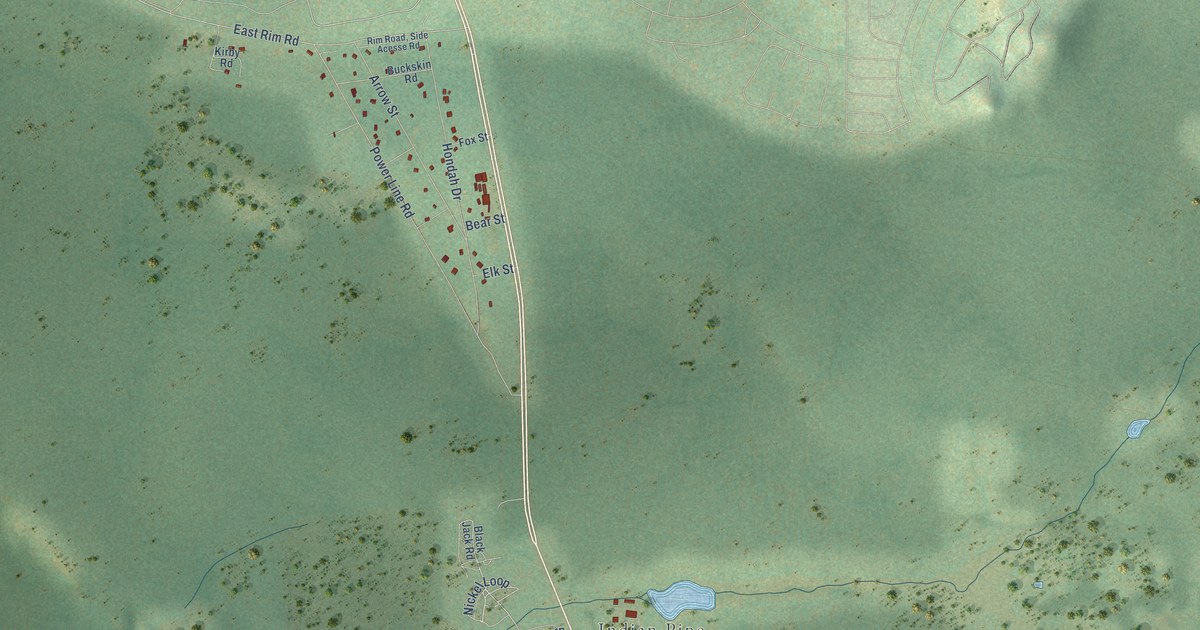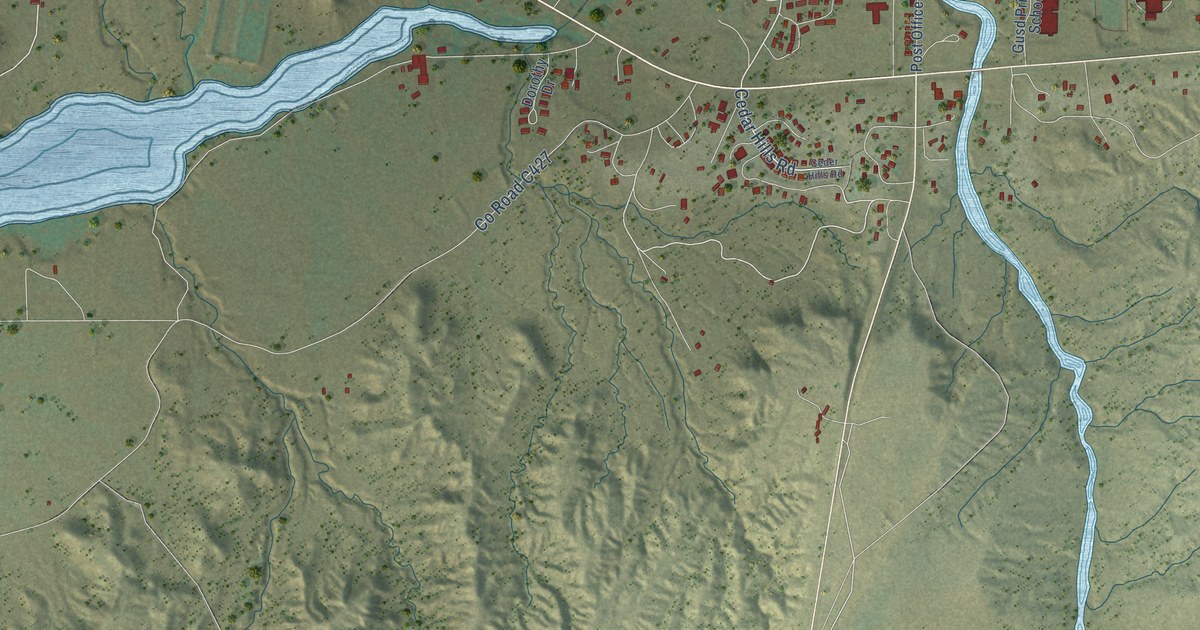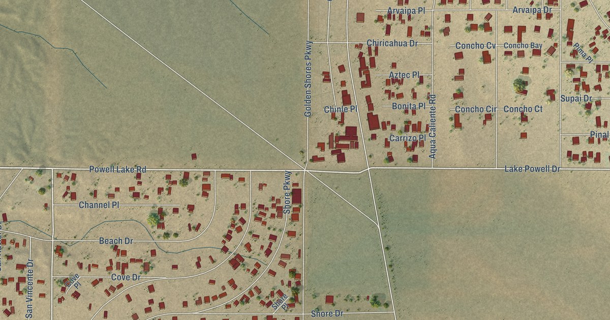
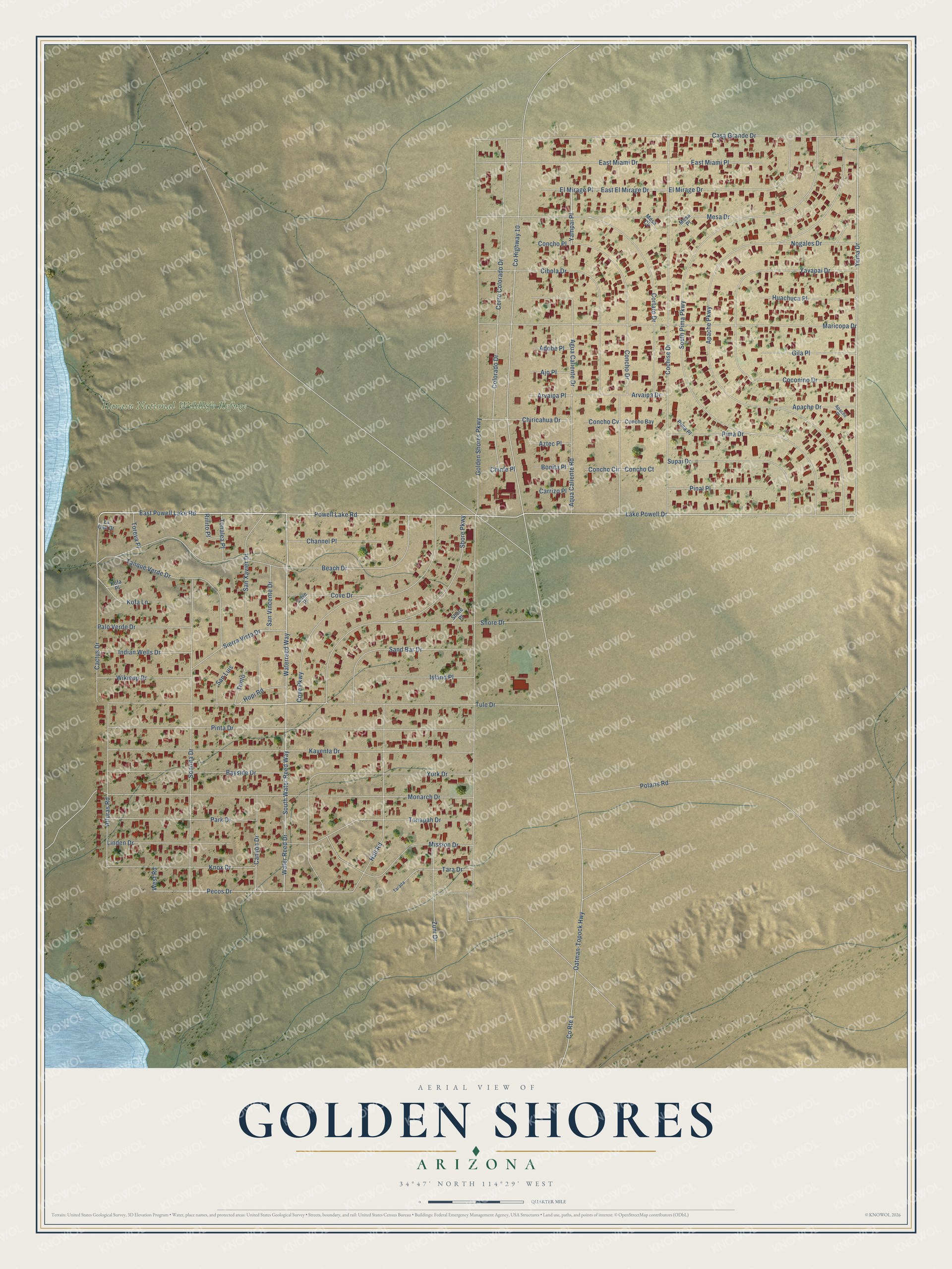
This beautifully detailed map of Golden Shores, Arizona was created in 2026 using aerial imagery combined with modern topographical, census, street and landmark data. It’s a one-of-a-kind view of Golden Shores that combines accurate data with a vintage aesthetic. The map shows every building in its true location, many of the roads carry their names, and the shaded topographic relief shows the shape of the land.
Explore an aerial view of Golden Shores, Arizona
On the map you’ll find Havasu National Wildlife Refuge and Yampai Place, along with Powell Lake Road, Waterreed Way, Shore Parkway, East Powell Lake Road, Tule Drive, East El Mirage Drive, Yuma Drive, Water Reed Drive, Pecos Drive, Colorado Drive, and more. Golden Shores sits about 4 miles north of Topock, 8 miles southeast of Arizona Village and 10 miles southeast of Mohave Valley. If you look closely you can even find your house accurately drawn in its correct location. Zoom in on the preview to look for yours.
Take a closer look at the Golden Shores map
Names on this map
These names are printed on this map.
Places: Havasu National Wildlife Refuge.
Streets and roads: Powell Lake Road, Waterreed Way, Shore Parkway, East Powell Lake Road, Tule Drive, East El Mirage Drive, Yampai Place, Yuma Drive, Water Reed Drive, Pecos Drive, Colorado Drive, County Highway 10.
More street names, A to Z
Adobe Place, Agua Caliente Drive, Ajo Place, Alturas Road, Apache Drive, Apache Parkway, Apache Place, Aqua Caliente Road, Arvaipa Drive, Arvaipa Place, Aztec Place, Bayside Drive, Beach Drive, Bonita Place, Cactus Drive, Canyon Drive, Carrizo Place, Casa Grande Drive, Cerro Colorado Drive, Channel Place, Chinle Place, Chiricahua Drive, Cibola Drive, Cochise Drive, Coconino Drive, Concho Bay, Concho Circle, Concho Court, Concho Cv, Concho Drive, Concho Place, Cortaro Drive, County Route 1, Cove Drive, Cove Parkway, Cove Place, East Miami Drive, East Miami Place, El Mirage Drive, El Mirage Place, Gila Place, Golden Shores Parkway, Hall Road, Hopi Road, Huachuca Place, Indian Wells Drive, Island Place, Kayenta Drive, Knox Drive, Kofa Lane, Kofa Place, Lake Powell Drive, La Osa Drive, Linden Drive, Maricopa Drive, Mesa Circle, Mesa Drive, Mesa Place, Mission Drive, Monarch Drive, Nogales Drive, Oatman-Topock Highway, Palo Verde Drive, Park Drive, Pima Drive, Pima Place, Pinal Place, Pinta Drive, Polaris Road, Rillito Place, Sand Bar Drive, San Luis, San Vincente Drive, San Xavier Drive, Shore Drive, Shore Place, Sierra Vista Drive, Sonoita Drive, South Pima Parkway, South Water Reed Way, Supai Drive, Tanque Verde Drive, Tarada, Tara Drive, Tonalea Place, Tonapah Drive, Tonto, Toreva Place, West Road, Wikieup Drive, Yavapai Drive, York Drive, Zuni Drive.
See it on a wall
The Golden Shores map as a framed print. Swipe for more.


This beautifully detailed map of Golden Shores makes an attractive addition to your office, library, or den, and it can even be used to teach children the geography and history of the area. It also makes a great gift for anyone with Golden Shores roots. When you’re done exploring, click here to get your copy of the Golden Shores map.