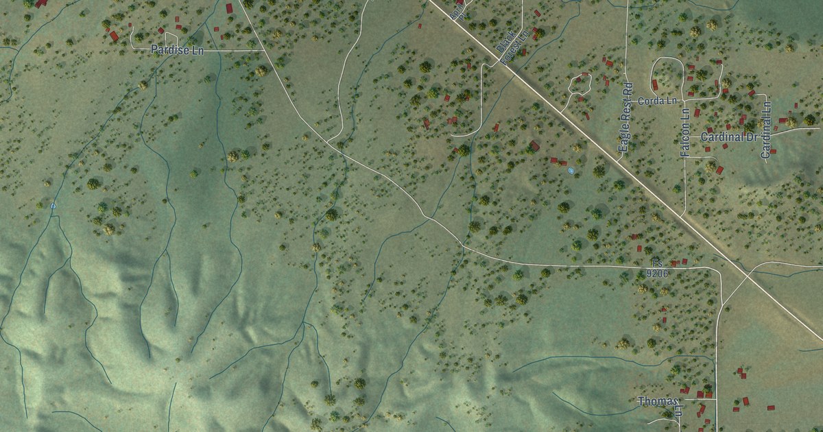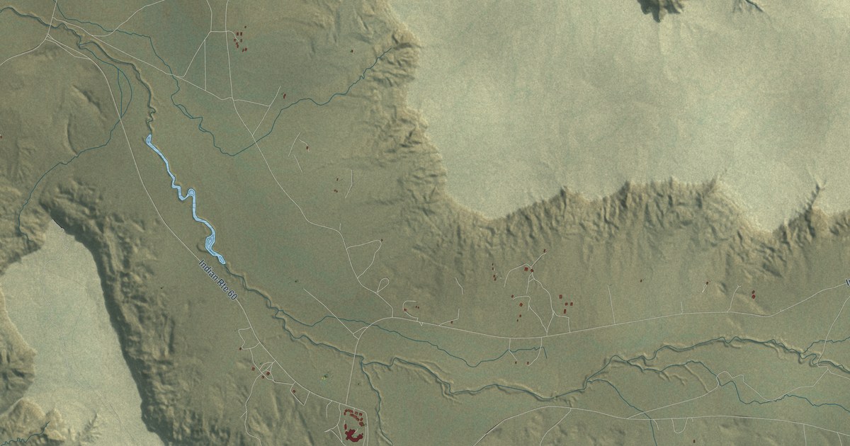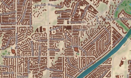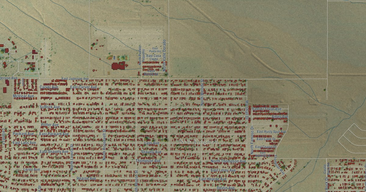
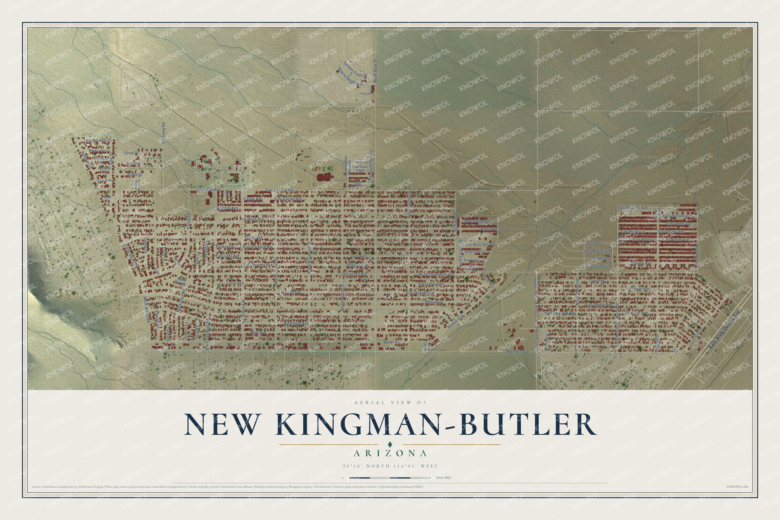
This beautifully detailed map of New Kingman-Butler, Arizona was created in 2026 using aerial imagery combined with modern topographical, census, street and landmark data. It’s a one-of-a-kind view of New Kingman-Butler that combines accurate data with a vintage aesthetic. The map shows every building in its true location, many of the roads carry their names, and the shaded topographic relief shows the shape of the land.
Explore an aerial view of New Kingman-Butler, Arizona
On the map you’ll find New Kingman and Butler, along with East Andy Devine Avenue, Eastview Road, Canyon Trails Drive, Norrie Drive, Castle Rock Drive, College Drive, North Famoso Drive, East Shaeffer Avenue, Thompson Avenue, Northern Avenue, and more. New Kingman-Butler sits about 5 miles northeast of Clacks Canyon, 8 miles east of So-Hi and 8 miles northeast of McConnico. If you look closely you can even find your house accurately drawn in its correct location. Zoom in on the preview to look for yours.
Take a closer look at the New Kingman-Butler map
Names on this map
These names are printed on this map.
Places: New Kingman and Butler.
Streets and roads: East Andy Devine Avenue, Eastview Road, Canyon Trails Drive, Norrie Drive, Castle Rock Drive, College Drive, North Famoso Drive, East Shaeffer Avenue, Thompson Avenue, Northern Avenue, Northfield Avenue, East Hearne Avenue.
More street names, A to Z
Able Drive, Alston Lane, Ames Avenue, Angelina Drive, Aralia Drive, Birch Drive, Butler Avenue, Butler Way, Carver Avenue, Casa Bonita Road, Casey Lane, Castle Rock Road, Christianson Avenue, Citrus Drive, College Circle, Devlin Avenue, East Ames Avenue, East Andrea Drive, East Boquillas Drive, East Cane Drive, East Carver Avenue, East Casa Linda, East Coarra Drive, East Devlin Avenue, East El Tovar Avenue, East Jagerson Avenue, East Lass Avenue, East Leroy Avenue, East Mariscal Drive, East McVicar Avenue, East Nicole Avenue, East Nicole Lane, East Packard Avenue, East Potter Avenue, East Potter Lane, East Punta Vis, East Rusty Spur Avenue, East Ryan Avenue, East Snavely Avenue, East Suffock Avenue, Edie Circle, Edie Drive, Edie Way, Edward Lane, Freiday Lane, Hearne Avenue, Huffman Drive, Huffman Way, Jagerson Avenue, John Norman Lane, Kelli Lane, Kingman Ranch Road, Koval Drive, Lass Avenue, Leland Lane, Leroy Avenue, Lum Avenue, Marilyn Drive, Marshall Drive, Mary Lynn Lane, McVicar Avenue, Neal Avenue, Nicole Avenue, North Bank Street, North Benton Street, North Bond Street, North Castle Rock Road, North Glen Place, North Glen Road, North Jimmie Drive, North Lomita Street, North Melody Street, North Norrie Drive, North Pueblo Pequeno, North Roosevelt Street, North Rose Drive, North Sierra Circle, North Sierra Road, North Thompson Avenue, North Tommie Drive, North Valle Dorado, North Van Nuys Road, Packard Avenue, Patsy Drive, Potter Avenue, Powell Avenue, Prairie Heights Drive, Shaeffer Avenue, Shavely Avenue, Snavely Avenue, Suffock Avenue, Sunny Ridge Lane, Thompson Way, Tommie Drive, Tracy Lane, Ty Street, Vernetti Lane, Vickie Lane.
See it on a wall
The New Kingman-Butler map as a framed print. Swipe for more.


This beautifully detailed map of New Kingman-Butler makes an attractive addition to your office, library, or den, and it can even be used to teach children the geography and history of the area. It also makes a great gift for anyone with New Kingman-Butler roots. When you’re done exploring, click here to get your copy of the New Kingman-Butler map.