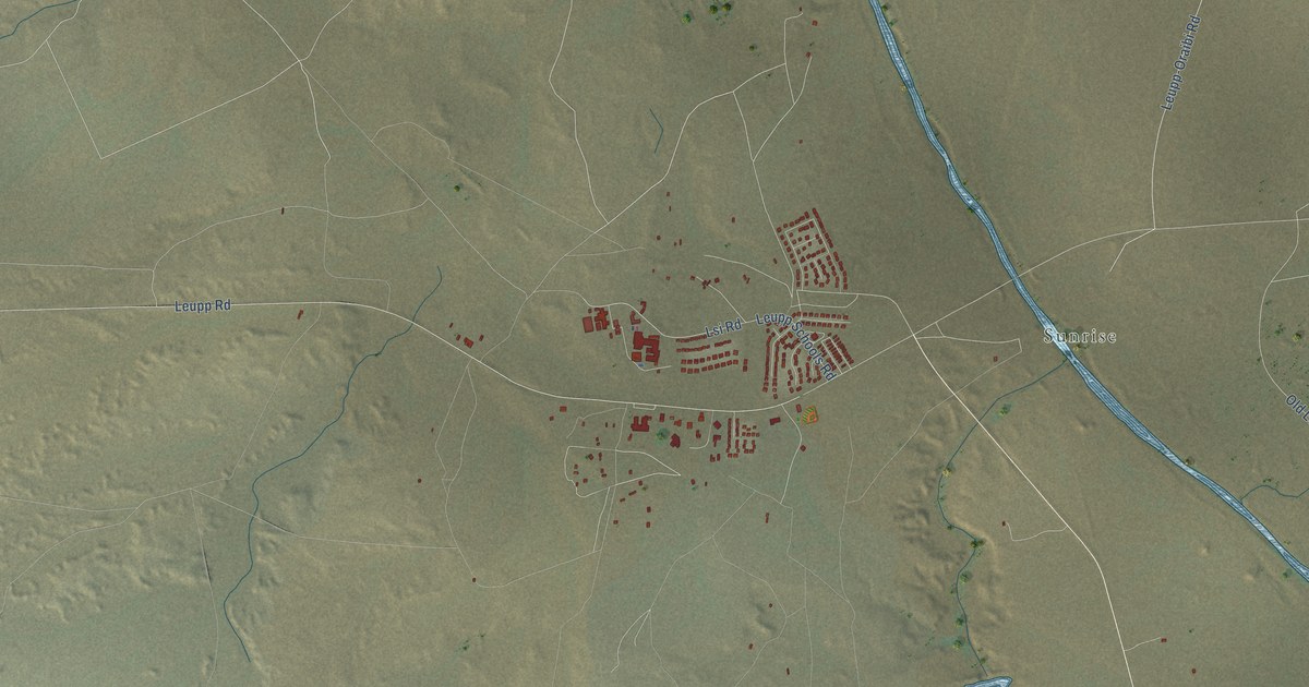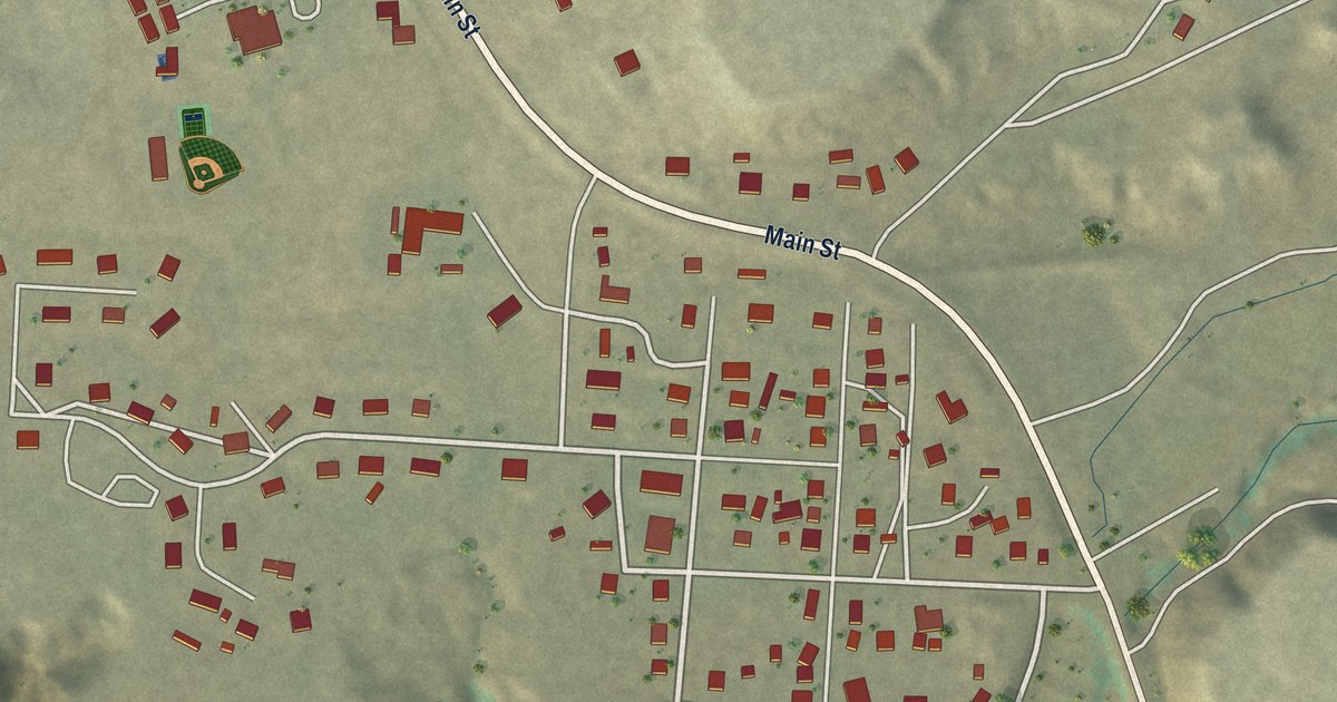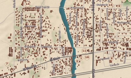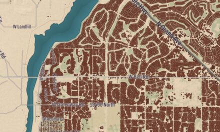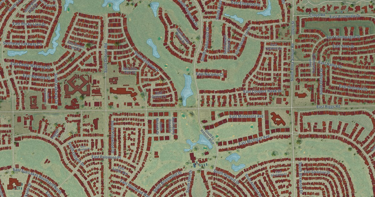
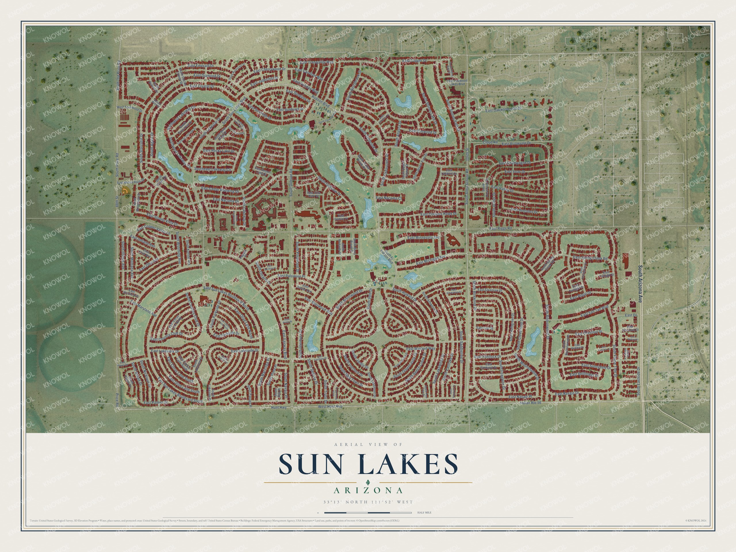
This beautifully detailed map of Sun Lakes, Arizona was created in 2026 using aerial imagery combined with modern topographical, census, street and landmark data. It’s a one-of-a-kind view of Sun Lakes that combines accurate data with a vintage aesthetic. The map shows every building in its true location, many of the roads carry their names, and the shaded topographic relief shows the shape of the land.
Explore an aerial view of Sun Lakes, Arizona
On the map you’ll find East Navajo Place, along with South Arizona Avenue, South Alma School Road, 104th Street, East Michigan Avenue, South Howard Drive, East Arrowvale Drive, South Boxwood Drive, South Moonshadow Drive, South Stoney Lake Drive, Robson Boulevard, Southeast Lakeway Circle, and more. Sun Lakes sits about 5 miles south of Chandler, 5 miles northwest of Stotonic Village and 5 miles north of Wet Camp Village. If you look closely you can even find your house accurately drawn in its correct location. Zoom in on the preview to look for yours.
Take a closer look at the Sun Lakes map
Names on this map
These names are printed on this map.
Streets and roads: South Arizona Avenue, South Alma School Road, 104th Street, East Michigan Avenue, South Howard Drive, East Navajo Place, East Arrowvale Drive, South Boxwood Drive, South Moonshadow Drive, South Stoney Lake Drive, Robson Boulevard, Southeast Lakeway Circle.
More street names, A to Z
88th Street, Cloud Road, Desert Wind Drive, East Bellflower Drive, East Cactus Lane North, East Cactus Lane South, East Carefree Way, East Cedar Waxwing Drive, East Champagne Drive, East Cherrywood Drive, East Chestnut Court, East Chestnut Drive, East Citrus Lane North, East Citrus Lane South, East Cochise Place, East Coopers Hawk Drive, East Copper Drive, East Copper Valley Lane, East Country Club Drive, East Crystal Drive, East Desert Lake Drive, East Diamond Drive, East Drive, East East Drive, East Elmhurst Drive, East Elmwood Drive, East Emerald Drive, East Fairway Boulevard, East Flintlock Court, East Flintlock Drive, East Foster Avenue, East Gemini Place, East Halley Drive, East Hercules Drive, East Holiday Way, East Illinois Avenue, East Indiana Avenue, East Jadecrest Drive, East Lakeside Drive, East Lakeview Drive, East Lambert Drive, East Lawndale Place, East Maryland Avenue, East Minnesota Avenue, East Mossy Rock Drive, East Nacoma Court, East Nacoma Drive, East Navajo Drive, East Oakwood Hills Drive, East Oakwood Lakes Boulevard, East Ohio Avenue, East Olive Lane North, East Olive Lane South, East Palmer Drive, East Palomino Place, East Parkside Drive, East Pinto Place, East Player Drive, East Regal Drive, East Riggs Road, East Rocky Lake Drive, East San Tan Boulevard, East Sherwood Way, East Silvertree Court, East Silvertree Drive, East Spring Creek Road, East Stoney Vista Drive, East Sunburst Drive, East Sundune Drive, East Sun Lakes Boulevard North, East Sun Lakes Boulevard South, East Sunnydale Drive, East Sunridge Drive, East Teakwood Drive, East Tranquility Way, East Twilight Court, East Twilight Drive, East Utah Avenue, East Villa Park Street, East Voax Drive, East Watford Court, East Watford Drive, East Watford Way, Hunt Highway, Indian Route 56, Northeast Lakeway Circle, Northwest Lakeway Circle, Papago Place, Price Road, South 99th Drive, South Agate Drive, South Angora Drive, South Ashwood Drive, South Beech Creek Drive, South Berrybrook Drive, South Berry Brook Drive, South Brentwood Drive, South Briarcrest Drive, South Briar Wing Drive, South Bronze Drive, South Buttonwood Drive, South Cactus Flower Drive, South Cedarcrest Drive, South Cloverland Drive, South Country Club Drive, South Dartford Drive, South Desert Drive, South Desert Flower Drive, South Desert Trail Drive, South Desert Vale Drive, South Dobson Road, South Drifter Drive, South Eastlake Drive, South Eastside Drive, South Ej Robson Boulevard, South Endeavor Drive, South Flame Tree Drive, South Foxglenn Drive, South Gila Place, South Glenburn Drive, South Golfview Drive, South Greencastle Drive, South Hogan Drive, South Hollygreen Drive, South Illinois Avenue, South Jardin Drive, South Kansas Avenue, South Lakemont Drive, South Lakeside Drive, South Lakestar Drive, South Lakeview Drive, South Lakeway Drive, South Lakewood Drive, South Maricopa Place, South Mohawk Drive, South Montana Avenue, South Mooncrest Drive, South Navajo Place, South New Town Drive, South Nicklaus Drive, South Nottingham Drive, South Oakwood Boulevard, South Old Price Road, South Ontario Drive, South Papago Place, South Parkside Drive, South Pear Tree Drive, South Pima Place, South Pinewood Drive, South Price Road, South Rangewood Drive, South Ribbonwood Drive, South Rocky Brook Drive, South Rosecrest Drive, South Rosewood Drive, South Saddletree Drive, South Sageberry Drive, South Sedona Drive, South Sherbrook Drive, South Shumaker Drive, South Snead Drive, South Spring Creek Road, South Starcrest Drive, South Stoney Path Drive, South Sunbrook Drive, South Sun Lakes Boulevard, South Sunny Side Drive, South Thistle Lane, South Truro Drive, Southwest Lakeway Circle, South Wyoming Avenue, South Yucca Circle, West Hunt Highway, West Teakwood Drive.
See it on a wall
The Sun Lakes map as a framed print. Swipe for more.


This beautifully detailed map of Sun Lakes makes an attractive addition to your office, library, or den, and it can even be used to teach children the geography and history of the area. It also makes a great gift for anyone who grew up in Sun Lakes or moved away. When you’re done exploring, click here to get your copy of the Sun Lakes map.