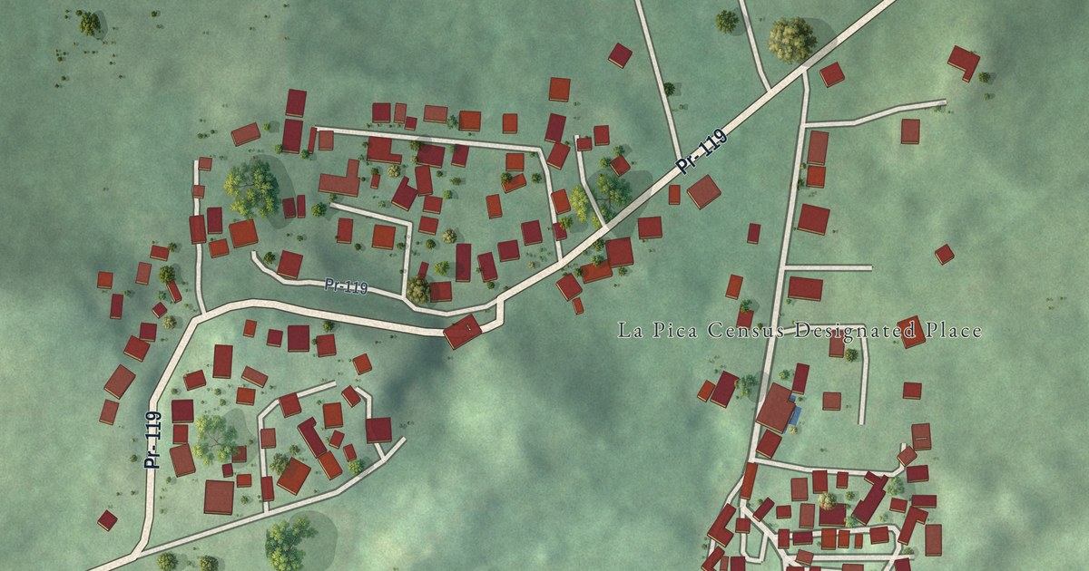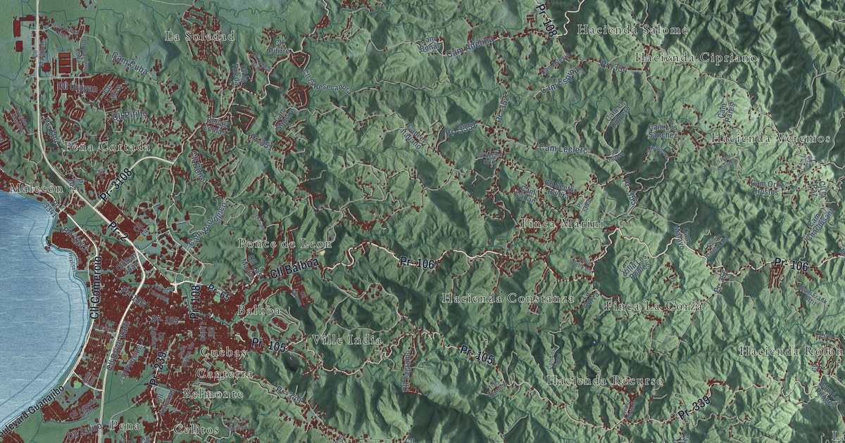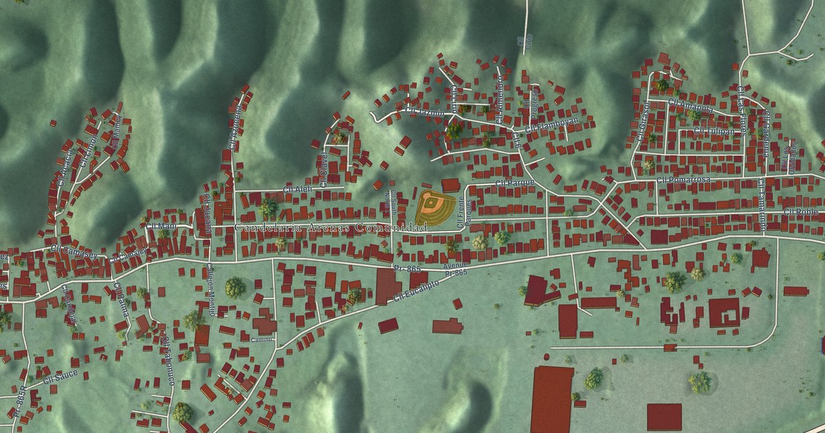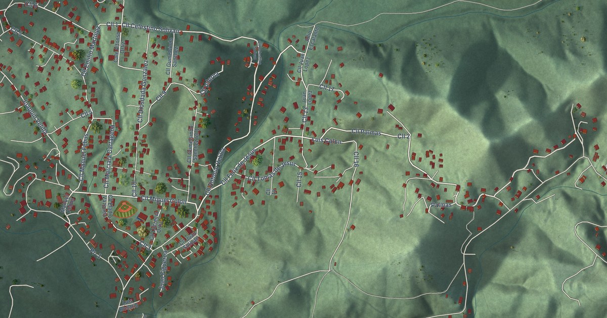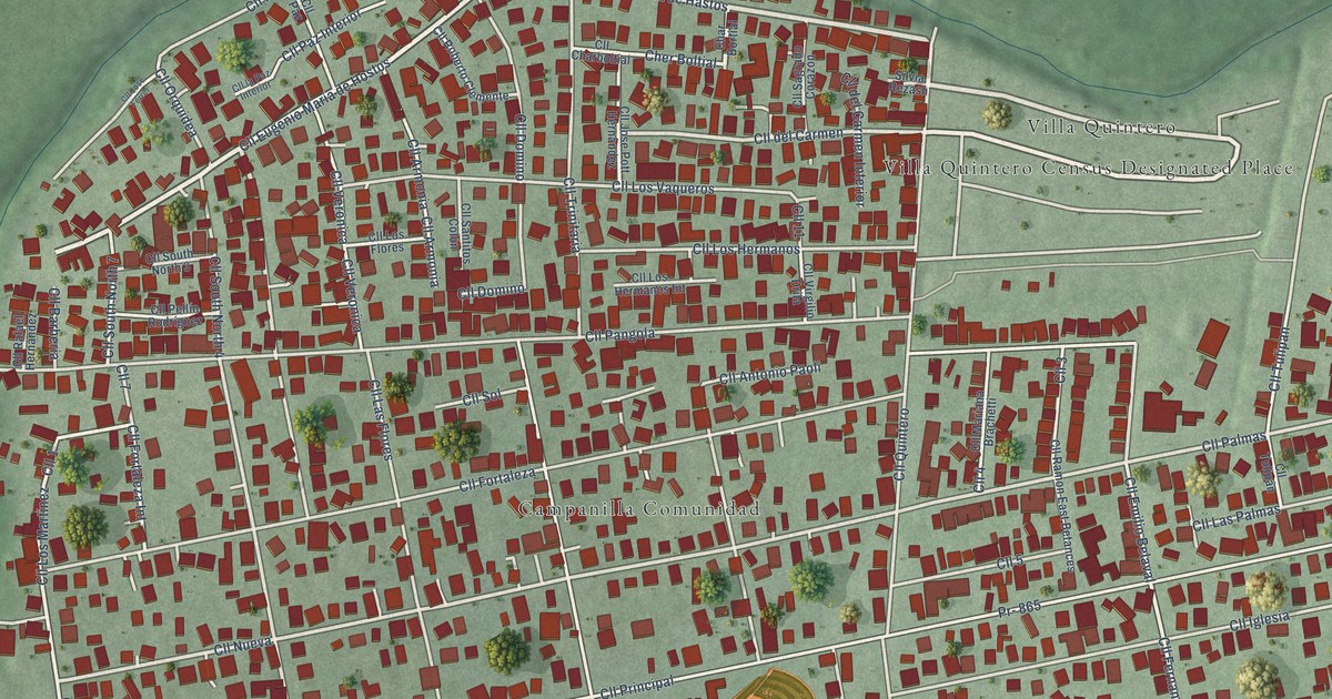
This beautifully detailed map of Campanilla, Puerto Rico was created in 2026 using aerial imagery combined with modern topographical, census, street and landmark data. It’s a one-of-a-kind view of Campanilla that combines accurate data with a vintage aesthetic. The map shows every building in its true location, many of the roads carry their names, and the shaded topographic relief shows the shape of the land.
Explore an aerial view of Campanilla, Puerto Rico
On the map you’ll find Villa Quintero, along with Calle East Maria de Hastos, Calle Eugenio María de Hostos, Calle del Carmen, Calle Nueva, Calle el Monte, Calle Palmas, Calle Fernando Arrívi, and more. Campanilla sits about 2 miles northwest of Candelaria, 2 miles southeast of Toa Baja and 2 miles southwest of Ingenio. If you look closely you can even find your house accurately drawn in its correct location. Zoom in on the preview to look for yours.
Take a closer look at the Campanilla map
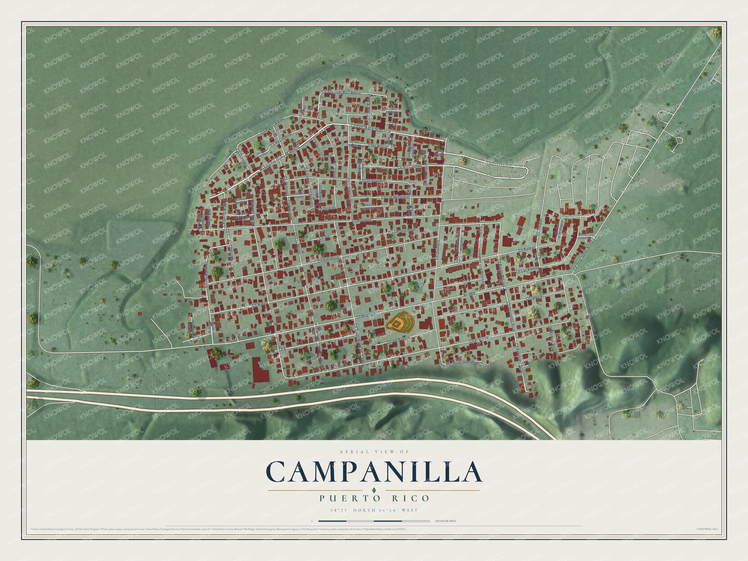
Names on this map
These names are printed on this map.
Places: Villa Quintero Census Designated Place, Campanilla Comunidad and Villa Quintero.
Streets and roads: Cll East Maria de Hastos, Cll Eugenio María de Hostos, Cll 4, Cll del Carmen, Cll Nueva, Cll el Monte, Cll 1, Cll Palmas, Cll Fernando Arrívi, Cll Fernando Arrivi, Cher Boltial, Cll Fortaleza Int.
More street names, A to Z
Callejón Los Martinez, Char Bortial, Cll 2, Cll 3, Cll 5, Cll 7, Cll 8, Cll 9, Cll 11, Cll 13, Cll Abelardo Diaz Alfaro, Cll Antonio Paoli, Cll Armonia, Cll Armonía, Cll Barbería, Cll Charboltial, Cll del Carmen Interior, Cll del Parque, Cll Diaz Alfaro, Cll Domino, Cll Dominó, Cll Emilio Belaval, Cll Fortaleza, Cll Hermanos Martinez, Cll Iglesia, Cll Jose Ferrer, Cll Jose Julian Acosta, Cll Jose Pott Hernandez, Cll José Barbox, Cll José Julian Alegria, Cll la Paz Interior, Cll Las Flores, Cll Las Gaviotas, Cll Las Palmas, Cll Los Flores, Cll Los Hermanos, Cll Los Hermanos Int, Cll Los Martinez, Cll Los Vaqueros, Cll Manuel Alonso, Cll Mariana Brachetti, Cll Mariano Abril, Cll Monte Interior, Cll Orquidea, Cll Pangola, Cll Paz, Cll Paz Interior, Cll Pedro Albizu, Cll Pellín Rodríguez, Cll Principal, Cll Quintero, Cll Rafael Hernandez, Cll Ramon East Betances, Cll Roberto Clemente, Cll Sagrado Corazón, Cll Salvador, Cll Santitos Colón, Cll Segundo Ruiz Belvis, Cll Sol, Cll South North 3, Cll South North 4, Cll South North 7, Cll South North 13, Cll Trinitaria, Cll Tulipan, Cll Tulipán, Cll Veronica, Cll Verónica, Cll Virgilio Drila, Pr- 865, Silvia Rezash.
See it on a wall
The Campanilla map as a framed print. Swipe for more.


This beautifully detailed map of Campanilla makes an attractive addition to your office, library, or den, and it can even be used to teach children the geography and history of the area. It also makes a great gift for someone who left Campanilla and still calls it home. When you’re done exploring, click here to get your copy of the Campanilla map.