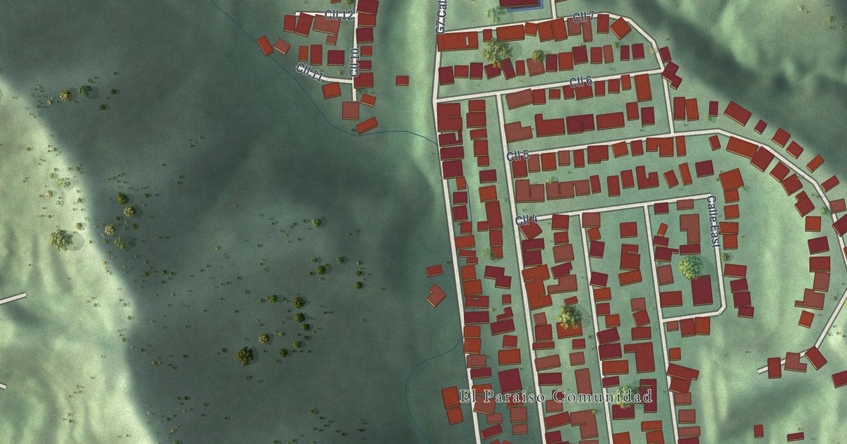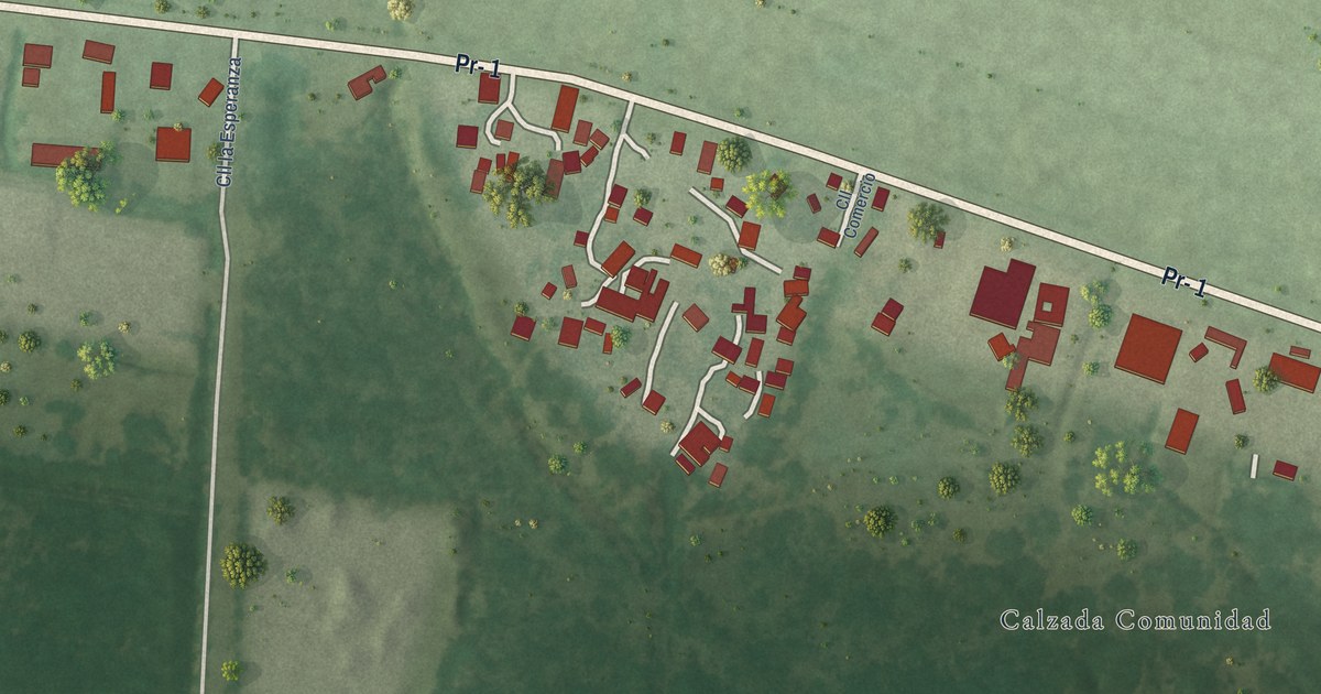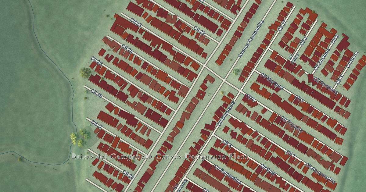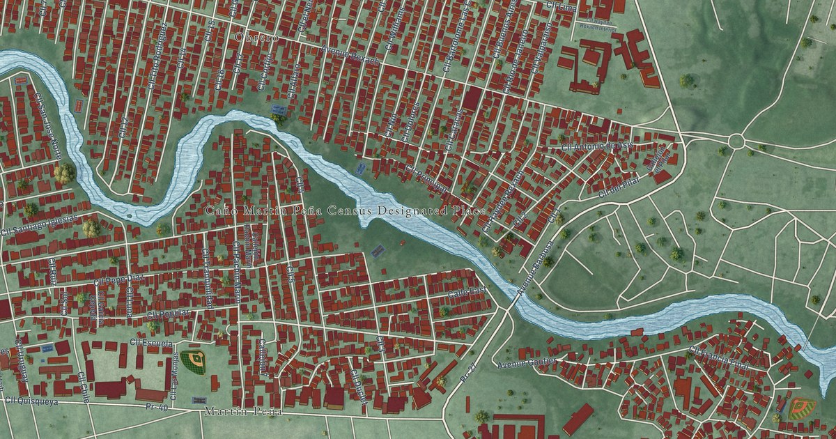
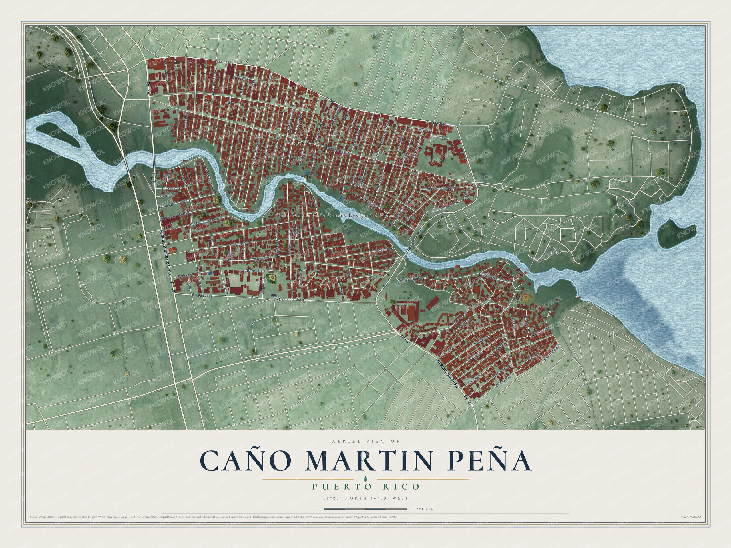
This beautifully detailed map of Caño Martin Peña, Puerto Rico was created in 2026 using aerial imagery combined with modern topographical, census, street and landmark data. It’s a one-of-a-kind view of Caño Martin Peña that combines accurate data with a vintage aesthetic. The map shows every building in its true location, many of the roads carry their names, and the shaded topographic relief shows the shape of the land.
Explore an aerial view of Caño Martin Peña, Puerto Rico
On the map you’ll find Las Palmas, Cantera, Monteflores, Martín Peña, and Obrero, along with Avenida Ponce de Leon, PR-25, Avenida Barbosa, PR-27, Avenida Borinquen, PR-36, and more. Caño Martin Peña sits about 2 miles northeast of San Juan, 5 miles west of Carolina and 5 miles northeast of Guaynabo. If you look closely you can even find your house accurately drawn in its correct location. Zoom in on the preview to look for yours.
Did You Know?
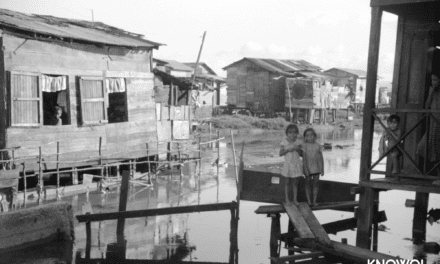
Residents of the eight communities around Caño Martín Peña developed their own improvement strategies. Puerto Rico’s 2004 Law 489 made the community plan public policy and kept district land in a collective trust to guard against displacement. That’s from the Caño Martín Peña ENLACE Project.
Take a closer look at the Caño Martin Peña map
Names on this map
These names are printed on this map.
Places: Caño Martin Peña Census Designated Place, Las Palmas, Cantera, Monteflores, Martín Peña and Obrero.
Streets and roads: Avenue Ponce de Leon, Pr- 25, Avenue Barbosa, Pr- 27, Avenue Borinquen, Pr- 36, Cll 12, Cll 5, Cll Buenos Aires, Avenue Rexach, Cll 11, Cll Quisqueya.
More street names, A to Z
Avenue Gautier, Calle East, Callejón 7, Callejón el Pilar, Callejón Pachín Marín, Cll 1, Cll 2, Cll 3, Cll 4, Cll 6, Cll 7, Cll 8, Cll 9, Cll 10, Cll 13, Cll 14, Cll 15, Cll 16, Cll 17, Cll Alfaro, Cll Antonio de Asis, Cll Argentina, Cll Bartolomé Las Casas, Cll Brazil, Cll Caracas, Cll Chile, Cll Corta, Cll Cortijo, Cll Cuba, Cll Cuba 1, Cll Cuba 2, Cll Cuba Final, Cll del Pilar, Cll Dolores, Cll Duclet, Cll el Nene, Cll Escuela, Cll Francia, Cll Francia Final, Cll Garcia Cepeda, Cll Gardel, Cll Gautier Benitez, Cll Haiti, Cll Haydee Rexach, Cll Haydee Rexach Interior, Cll Hector Urdaneta, Cll Laguna, Cll Las Monjas, Cll Lima, Cll Lippit, Cll Luna, Cll Maestro Cordero, Cll Martino, Cll Nemesio Canales, Cll Nin, Cll Nueva, Cll Pacheco, Cll Pachin Marin, Cll Palestina, Cll Paraguay, Cll Pepe Díaz, Cll Popular, Cll Principal, Cll Prolongacion Francia, Cll Rio de Janeiro, Cll Robledo, Cll Ruiz, Cll San Antonio, Cll San Ciprian, Cll San Jose Norte, Cll San Pio, Cll Santiago Iglesias, Cll Segarra, Cll Sol, Cll Texidor, Cll Tito Rodriguez, Cll Tranquilidad, Cll Uruguay, Cll Valparaiso, Cll Venecia, Cll Vieques, Cll Villa Castin, Cll Webb, Cll Williams, Pr- 40.
See it on a wall
The Caño Martin Peña map as a framed print. Swipe for more.


This beautifully detailed map of Caño Martin Peña makes an attractive addition to your office, library, or den, and it can even be used to teach children the geography and history of the area. It also makes a great gift for anyone with Caño Martin Peña roots. When you’re done exploring, click here to get your copy of the Caño Martin Peña map.