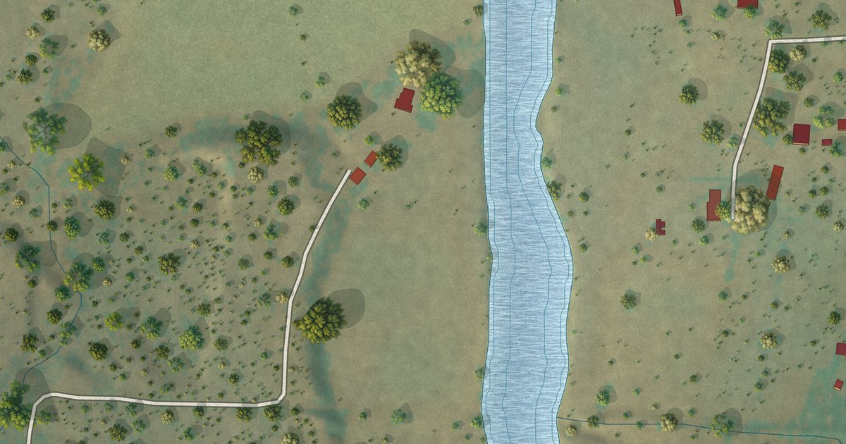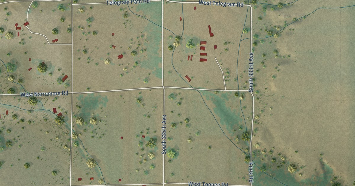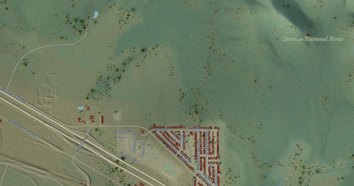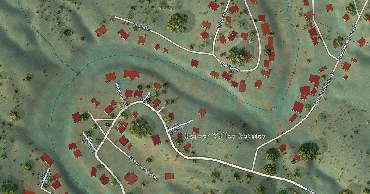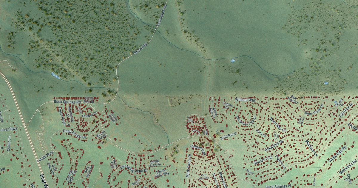
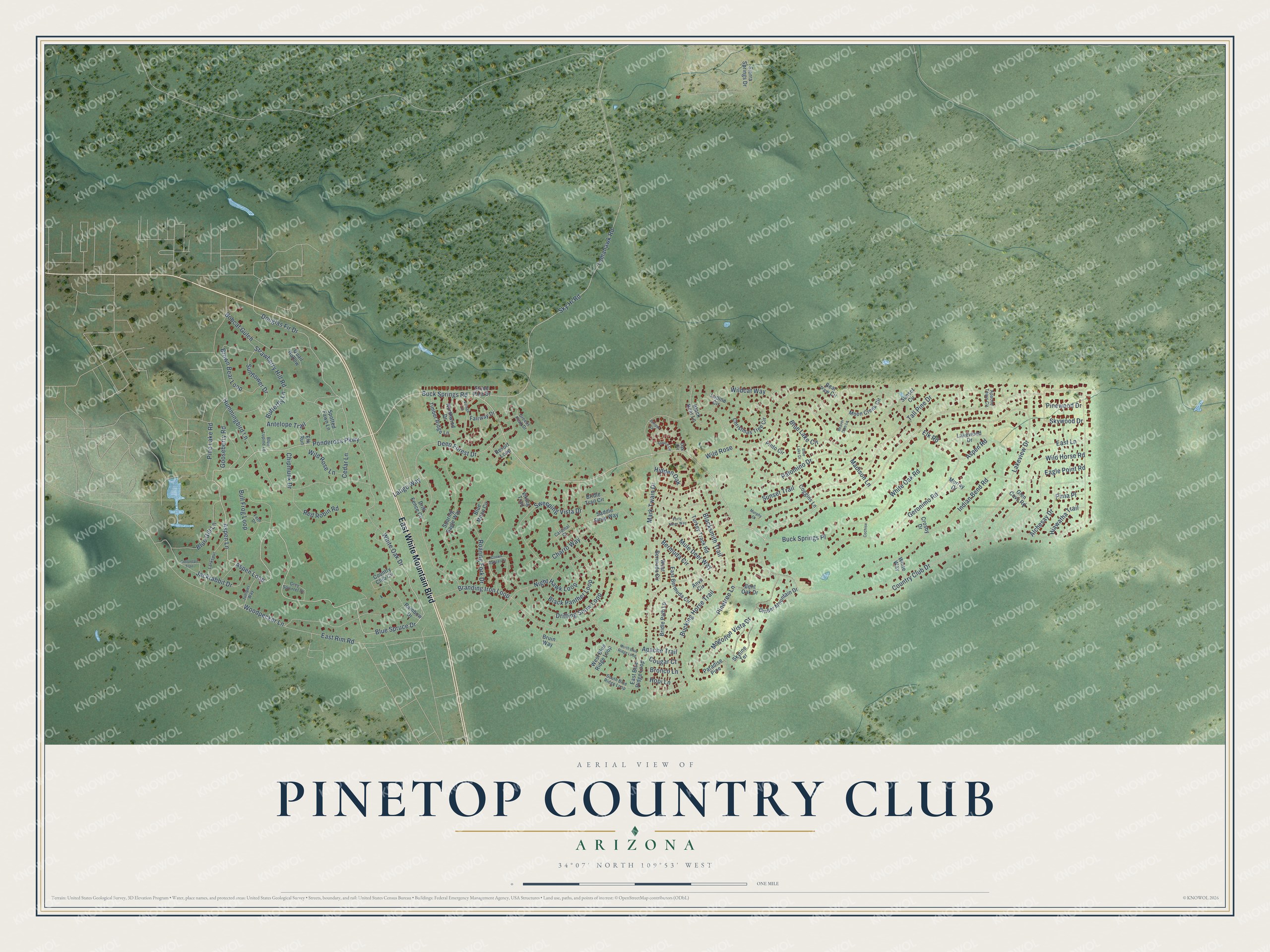
This beautifully detailed map of Pinetop Country Club, Arizona was created in 2026 using aerial imagery combined with modern topographical, census, street and landmark data. It’s a one-of-a-kind view of Pinetop Country Club that combines accurate data with a vintage aesthetic. The map shows every building in its true location, many of the roads carry their names, and the shaded topographic relief shows the shape of the land.
Explore an aerial view of Pinetop Country Club, Arizona
On the map you’ll find Hidden Oak, along with East White Mountain Boulevard, Buck Springs Road, Aspen Loop, Ponderosa Parkway, Blue Spruce Drive, Aspen Lane, Douglas Fir Drive, Geronimo Road, Mule Deer Way, Blacksmith Trail, Bucking Horse Trail, and more. Pinetop Country Club sits about 3 miles northwest of McNary, 3 miles northeast of Hondah and 5 miles southeast of Pinetop-Lakeside. If you look closely you can even find your house accurately drawn in its correct location. Zoom in on the preview to look for yours.
Take a closer look at the Pinetop Country Club map
Names on this map
These names are printed on this map.
Streets and roads: East White Mountain Boulevard, Buck Springs Road, Aspen Loop, Ponderosa Parkway, Blue Spruce Drive, Aspen Lane, Hidden Oak, Douglas Fir Drive, Geronimo Road, Mule Deer Way, Blacksmith Trail, Bucking Horse Trail.
More street names, A to Z
Alchesay Drive, Antelope Trail, Anvil Circle, Apache Tears Circle, Apache Trail, Aspen Road, Bear Paw Circle, Beaver Dam Lane, Bent Oak Drive, Bermuda Circle, Black Bear Lane, Black Panther Loop, Blue Gill Lane, Blue Lake Circle, Blue Lake Drive, Blue Lupine Lane, Blue Moon Circle, Bobcat Gulch, Branding Iron Loop, Bridle Path Lp, Bridle Trail Circle, Bronco Lane, Brown Bear Loop, Bruin Way, Buck Springs Place, Bull Frog Loop, Butterfly Lane, Cardinal Court, Cedar Lane, Charro Way, Chipmunk Drive, Christmas Tree Circle, Cinder Mountain Drive, Cochise, Coggins Lane, Cottontail Trail, Cougar Court, Country Club Circle, Country Club Drive, Crosby Drive, Crown Dancer Drive, Deep Forest Drive, Drift Fence Circle, Drifting Snow Loop, Eagle Point Road, East Bermuda Circle, East Blue Ridge Loop, East Lane, East Rim Road, Elk Road, Elk Run, Fairway Drive, Fern Drive, Forty Niner Way, Glen Cove Road, Gooseberry Road, Greens Peak Drive, Grey Squirrel Drive, Hiawatha Trail, Hopi Lane, Hummingbird Lane, Indian Bend Road, Jackrabbit Drive, Juniper Circle, Juniper Way, Lakeview Drive, Lakewood Drive, Larkspur, Latigo Way, Lupine Circle, Madison Lane, Mark Twain Drive, Mogollon Vista Drive, Moon Creek Circle, Murphy Court, Murray Drive, Night Hawk Loop, North Blue Ridge Loop, Northwind Drive, Oak Circle, Palomino Drive, Paradise Pine, Pima Place, Pine Lake Road, Pinetree Lane, Pinewood Drive, Pinto Circle, Quail Hollow, Rainbow Drive, Red Robin Road, Resort Loop, Roaring Fork Drive, Saddle Strap Way, Sierra Springs Drive, Sky Hi Road, Skyline Terrace, Skywood Drive, Soaring Eagle Way, South Blue Ridge Loop, Spotted Fawn Lane, Spruce Circle, Stone Pine Drive, Strawberry Hill Road, Sunflower Drive, Sunset Circle, Sunset Trail, Sweeping Vista Drive, Tall Pine Drive, Timber Ridge Lane, Tomahawk Road, Turkey Track Road, Viking Trail, Village Drive, West Bermuda Circle, West Blue Ridge Loop, White Oak Drive, White Oak Road, White Way, Wildcat Way, Wild Horse Road, Wild Rose, Wild Rose Lane, Woodpecker Lane.
See it on a wall
The Pinetop Country Club map as a framed print. Swipe for more.


This beautifully detailed map of Pinetop Country Club makes an attractive addition to your office, library, or den, and it can even be used to teach children the geography and history of the area. It also makes a great gift for anyone who grew up in Pinetop Country Club or moved away. When you’re done exploring, click here to get your copy of the Pinetop Country Club map.