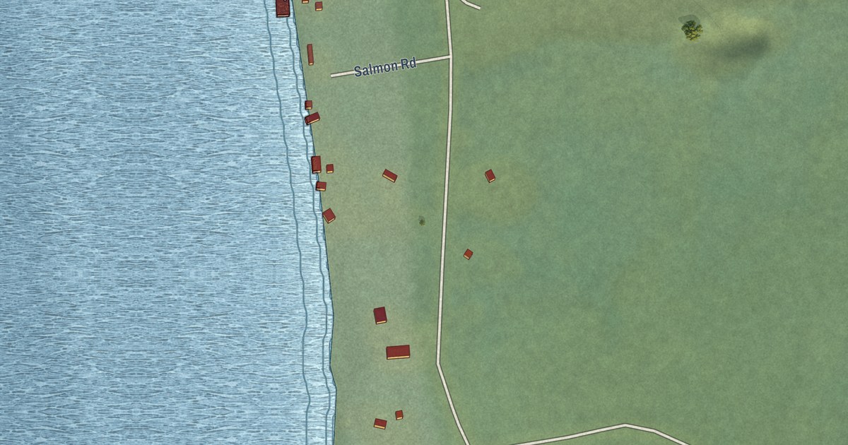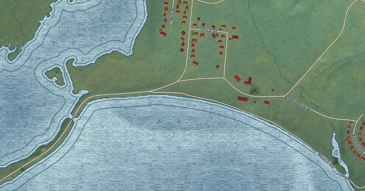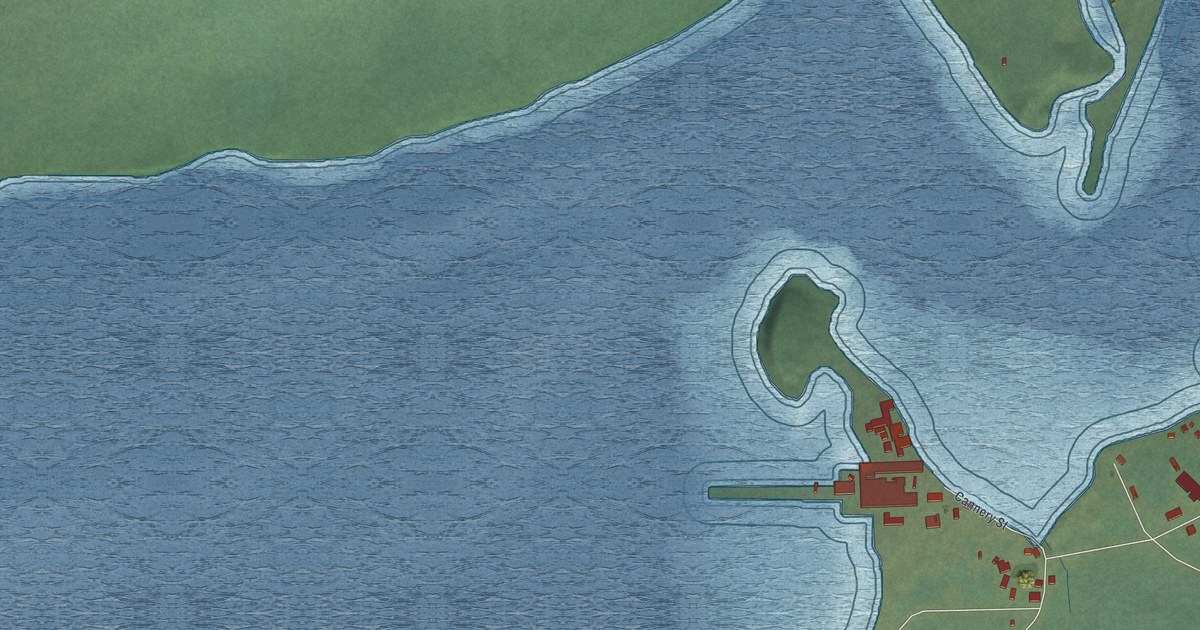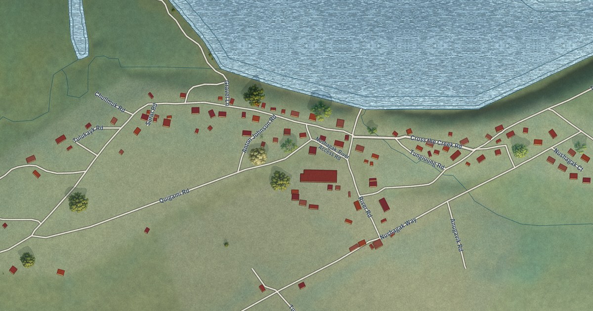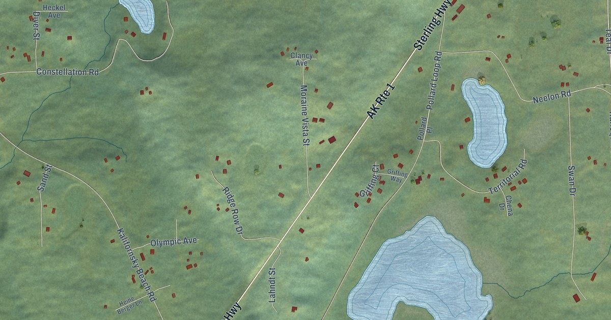
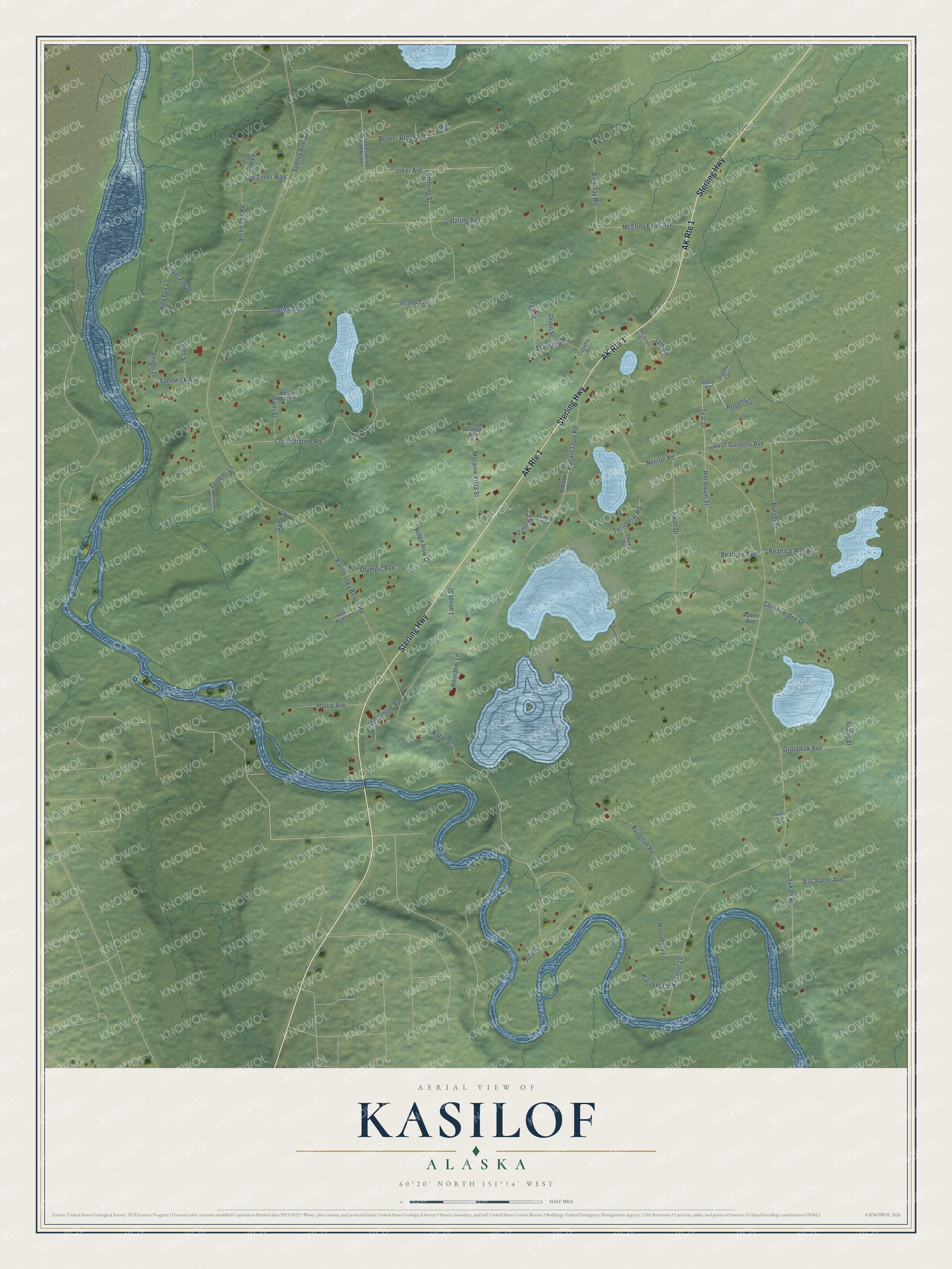
This beautifully detailed map of Kasilof, Alaska was created in 2026 using aerial imagery combined with modern topographical, census, street and landmark data. It’s a one-of-a-kind view of Kasilof that combines accurate data with a vintage aesthetic. The map shows every building in its true location, many of the roads carry their names, and the shaded topographic relief shows the shape of the land.
Explore an aerial view of Kasilof, Alaska
On the map you’ll find Sterling Highway, Teal Drive, Pollard Loop Road, Yukon Road, Kalifornsky Beach Road, Katie Street, Constellation Road, Byington Road, Silver Fox Drive, Swan Drive, Julie Drive, Lemming Street, and more. Kasilof sits about 4 miles northeast of Cohoe, 9 miles south of Kalifornsky and 10 miles northeast of Clam Gulch. If you look closely you can even find your house accurately drawn in its correct location. Zoom in on the preview to look for yours.
Did You Know?
Kasilof was the site of the first salmon cannery in Cook Inlet, built in 1882. The cannery brought in fishermen from San Francisco, who settled along the river. They added to their fishing income with trapping and big game guiding. Hunters came to Kasilof from the late 1890s into the 1930s. That’s from the Alaska DCRA.
Take a closer look at the Kasilof map
Names on this map
These names are printed on this map.
Streets and roads: AK Route 1, Sterling Highway, Teal Drive, Pollard Loop Road, Yukon Road, Kalifornsky Beach Road, Katie Street, Constellation Road, Byington Road, Silver Fox Drive, Swan Drive, Julie Drive.
More street names, A to Z
Amber Drive, Arctic Fox Road, Beatrice Ann Street, Beatrice Avenue, Beaver Brook Road, Billy Ray Road, Burger Street, Bush Gardens Avenue, Capella Drive, Chena Drive, Christine Dee Drive, Clancy Avenue, Coal Creek Circle, Cobbler Lane, Constellation Road North, Decanter Circle, Diver Street, Escalante Avenue, Gabby Circle, Griffing Court, Griffing Way, Grosbeak Avenue, Harlequin Street, Harlie Avenue, Heckel Avenue, Heine Berger Lane, Inland Avenue, Interior Avenue, Jam Road, Joker Avenue, Kasilver Court, Kasilver Lane, Kennebec Circle, Kit Court, Lahndt Street, Leigh Street, Lemming Street, Letzring Avenue, Lucina Avenue, McElroy Farm Avenue, Mercantile Avenue, Moosehead Street, Moraine Vista Street, Neelon Road, Ole Timer Way, Olympic Avenue, Orion Street, Petty Court, Pollard Place, Red Fox Lane, Reindeer Lane, Ridge Row Drive, Rosette Lane, Ryden Avenue, Sand Street, Sandwick Avenue, Scaup Street, Stardust Drive, Sydney Ann Avenue, Territorial Road, Vega Street.
See it on a wall
The Kasilof map as a framed print. Swipe for more.


This beautifully detailed map of Kasilof makes an attractive addition to your office, library, or den, and it can even be used to teach children the geography and history of the area. It also makes a great gift for anyone who grew up in Kasilof or moved away. When you’re done exploring, click here to get your copy of the Kasilof map.