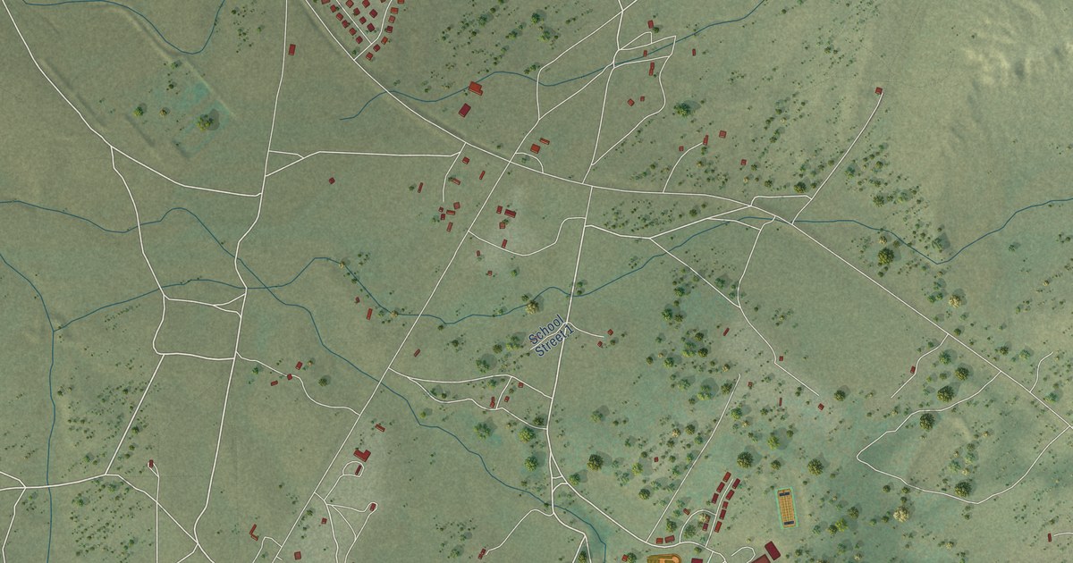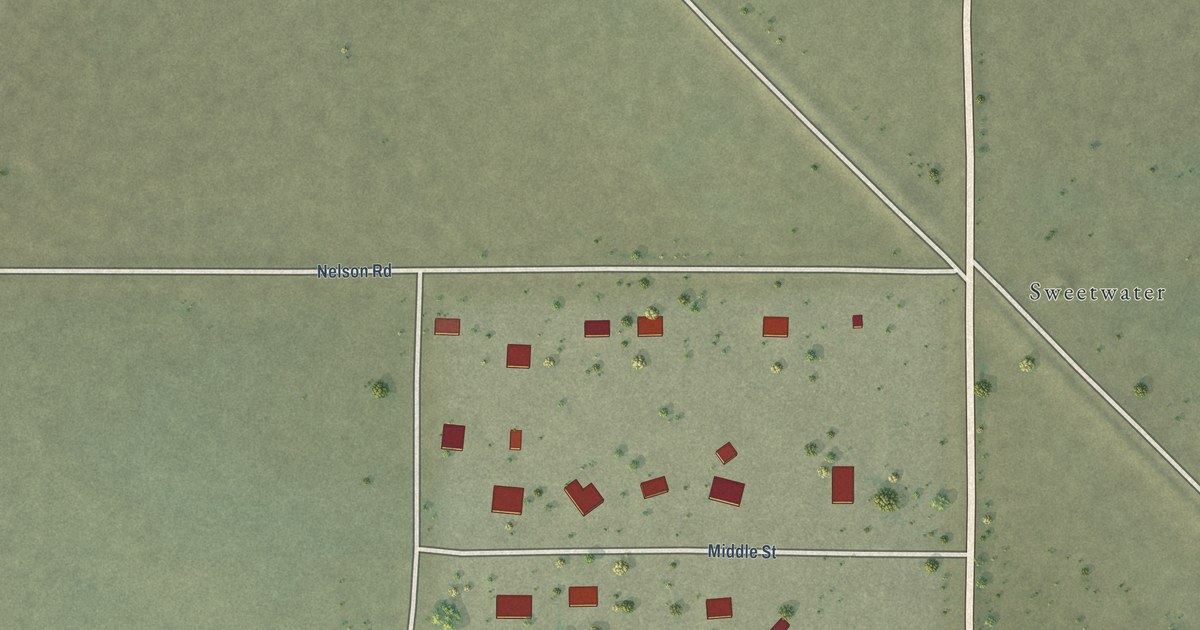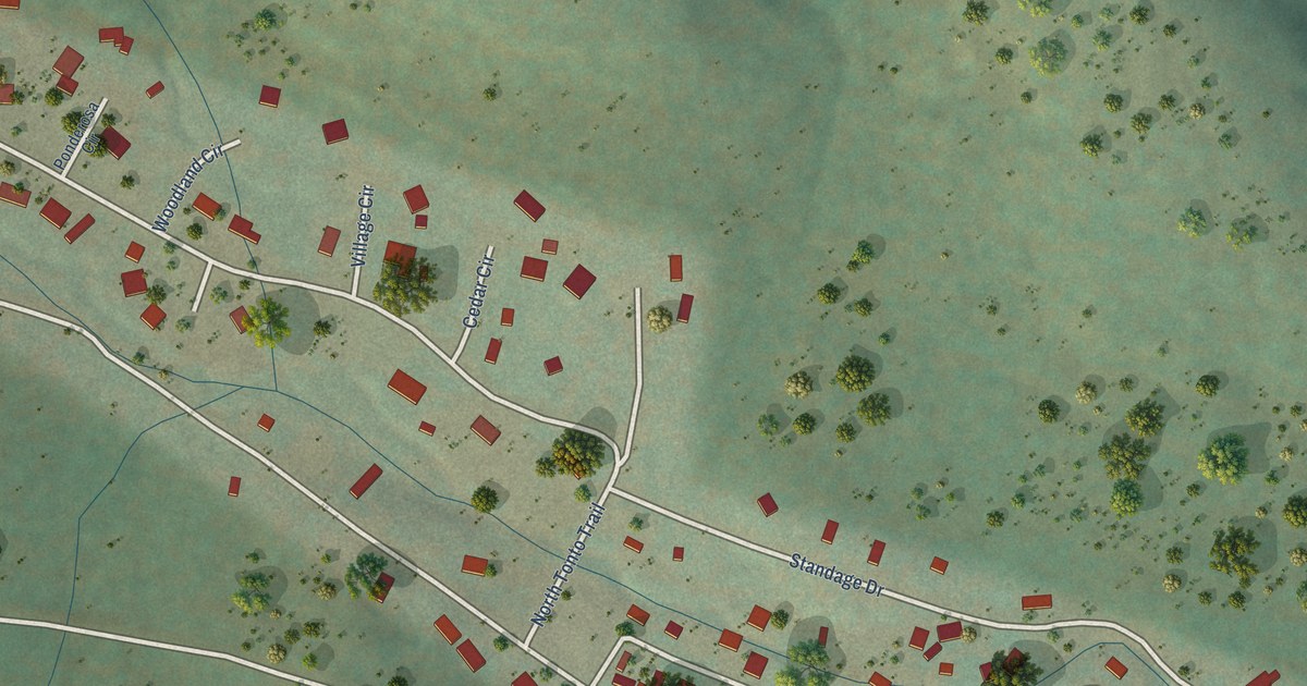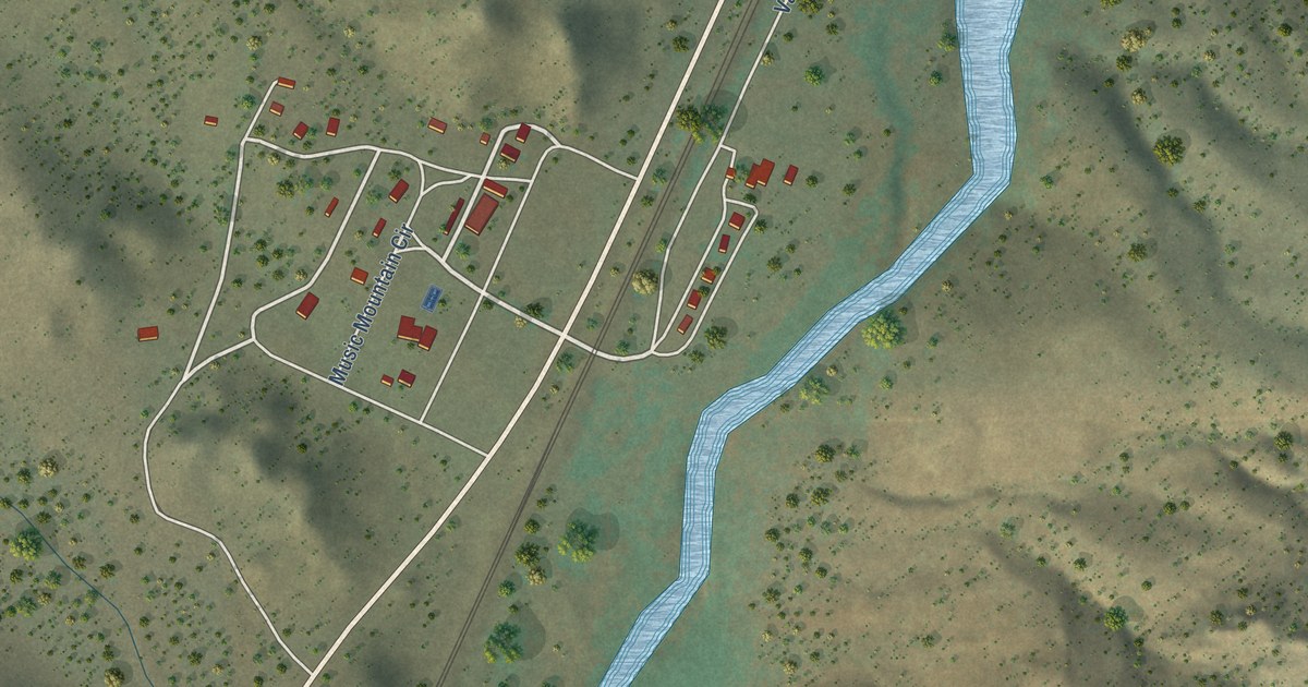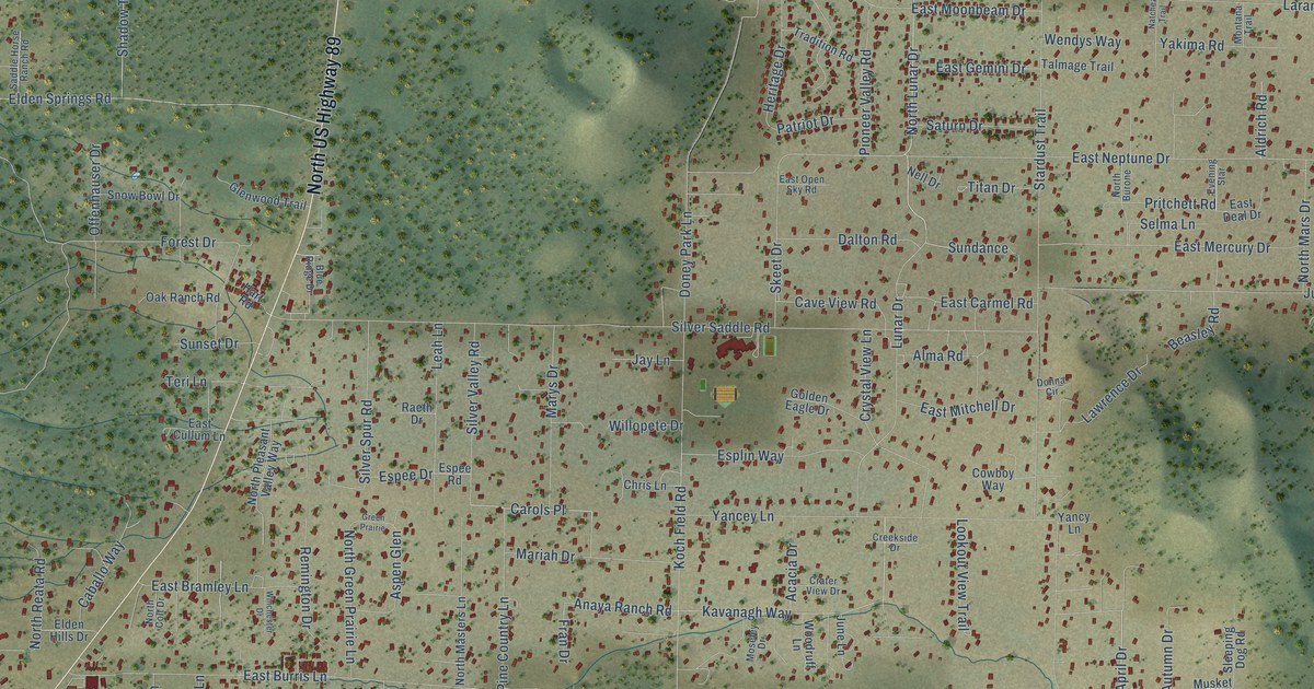
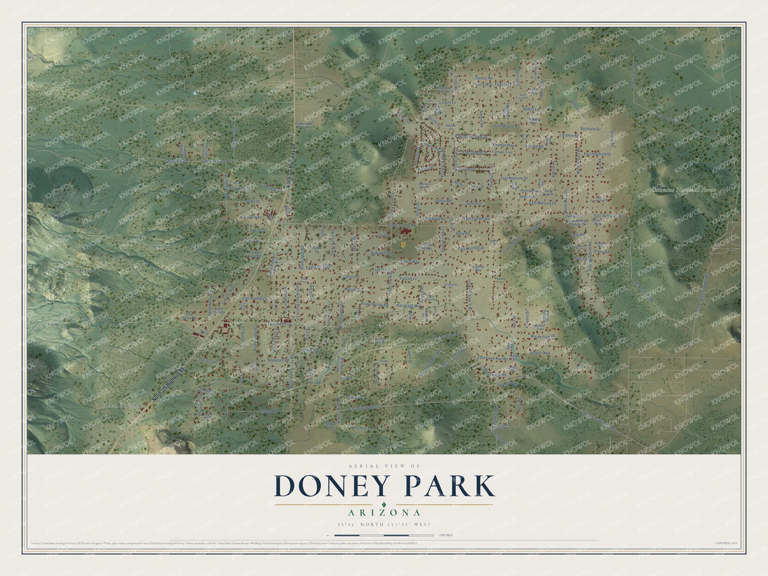
This beautifully detailed map of Doney Park, Arizona was created in 2026 using aerial imagery combined with modern topographical, census, street and landmark data. It’s a one-of-a-kind view of Doney Park that combines accurate data with a vintage aesthetic. The map shows every building in its true location, many of the roads carry their names, and the shaded topographic relief shows the shape of the land.
Explore an aerial view of Doney Park, Arizona
On the map you’ll find Elden Pueblo, Coconino National Forest, Carols Place, and FS Road 9124R, along with North US Highway 89, April Drive, Pintail Drive, Autumn Drive, Lunar Drive, North Lunar Drive, Arroyo Trail, Derryberry Drive, and more. Doney Park sits about 3 miles northwest of Mountain View Ranches, 4 miles southeast of Timberline-Fernwood and 8 miles northeast of Flagstaff. If you look closely you can even find your house accurately drawn in its correct location. Zoom in on the preview to look for yours.
Take a closer look at the Doney Park map
Names on this map
These names are printed on this map.
Places: Elden Pueblo and Coconino National Forest.
Streets and roads: North US Highway 89, April Drive, Pintail Drive, Autumn Drive, Lunar Drive, North Lunar Drive, Arroyo Trail, Carols Place, Derryberry Drive, Kavanagh Way, Anaya Ranch Road, Koch Field Road.
More street names, A to Z
Acacia Drive, Aldrich Road, Alma Road, Antelope Lane, April Road, Aspen Glen, Aurora Road, Beasley Road, Beauty Way, Belair Drive, Bighorn Drive, Blue Ridge Drive, Bullion Hill Road, Caballo Way, Candi Lane, Cave View Road, Chris Lane, Cinder Lake Landfill Road, Colfax Road, Conley Road, Cowboy Way, Crater View Drive, Creekside Drive, Crocket Lane, Cross Road, Crystal View Lane, Dalton Road, Denise Lane, Deville Drive, Deville Lane, Dianna Place, Docstilly Lane, Doney Park Lane, Donna Circle, Dove Trail, East Bramley Lane, East Burris Lane, East Carmel Road, East Cullum Lane, East Deal Drive, East Denali Drive, East Fawn Run Road, East Gemini Drive, East Hayfield Drive, East McGee Road, East Mercury Drive, East Mitchell Drive, East Moonbeam Drive, East Neptune Drive, East Open Sky Road, East Providence Drive, East Reata Road, East Rolling Hills Lane, East Rolling Thunder Drive, East Rope Road, East Sunbeam Drive, Easy Street, Elden Hills Drive, Elden Springs Road, Elise Way, Elk Ridge, Emily Way, Espee Drive, Espee Road, Esplin Way, Evening Star, Forest Drive, Foster Road, Fran Drive, Frontier Road, FS Road 498, FS Road 556, Girard Road, Glenwood Trail, Golden Eagle Drive, Grace Court, Green Prairie, Green Road, Hampton Road, Hart Road, Heritage Drive, Hidden Hills Road, Hollow Ridge Road, Horseshoe Acres Road, Hulls Road, Hummingbird Lane, Hutton Ranch Road, Jay Lane, June Lane, Jupiter Drive, Kira Lane, Ladera Drive, Laramie Road, Larsen Lane, Larson Lane, Lawrence Drive, Leah Lane, Lene Lane, Lindsey Road, Loghouse Road, Longs Way, Lookout View Trail, Lorton Lane, Lynx Lane, Manning Road, Mariah Drive, Mary Ellen Way, Marys Drive, Montana Trail, Moseley Drive, Musket Trail, Natchez Trail, Nell Drive, Nighthawk Lane, North Bryant Road, North Burone, North Colt Drive, North Green Prairie Lane, North Manning Road, North Mars Drive, North Masters Lane, North Oscar Drive, North Pine Canyon Drive, North Pleasant Valley Way, North Rain Valley Road, North Reata Road, Oak Ranch Road, Oakwood Pines Drive, Offenhauser Drive, Orange Box Drive, Patriot Drive, Pecos Road, Pine Country Lane, Pioneer Valley Road, Pony Road, Prairie Dog Lane, Pritchett Road, Pueblo Drive, Raeth Drive, Rainbow Ranch Road, Remington Drive, Richfield Drive, Rio de Flag, Robyn Lane, Saddle Horse Ranch Road, Saddle Horse Road, Saturn Drive, Selma Lane, Shadow Trail, Silver Saddle Road, Silver Spur Road, Silver Valley Road, Skeet Drive, Slayton Ranch Road, Sleeping Dog Road, Snow Bowl Drive, Solar Road, Stagecoach Road, Stardust Trail, Stenberg Way, Sundance, Sunset Drive, Talmage Trail, Tellis Trail, Teri Lane, Titan Drive, Townsend-Winona Road, Tradition Road, Turkey Hill Drive, Turkey Hills Drive, Vis de Oro, Wendys Way, White Dog Way, Willopete Drive, Winchester Drive, Wolf Creek Drive, Woodruff Lane, Yakima Road, Yancey Lane, Yancy Lane, Yukon Trail.
See it on a wall
The Doney Park map as a framed print. Swipe for more.


This beautifully detailed map of Doney Park makes an attractive addition to your office, library, or den, and it can even be used to teach children the geography and history of the area. It also makes a great gift for anyone who grew up in Doney Park or moved away. When you’re done exploring, click here to get your copy of the Doney Park map.