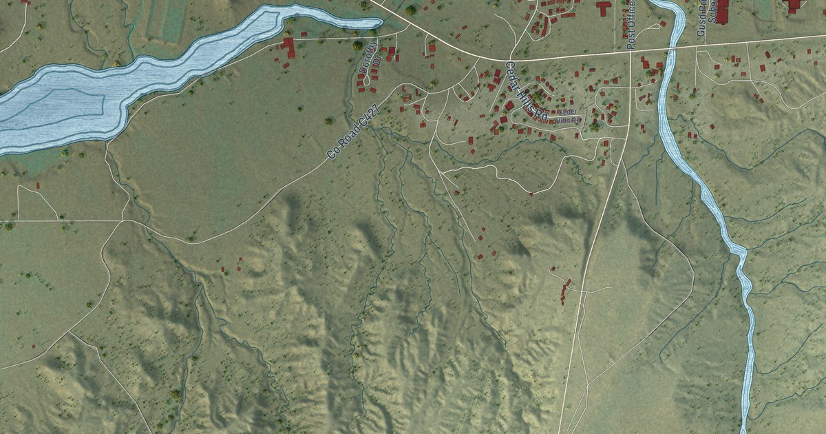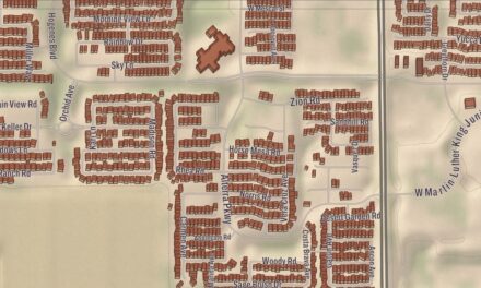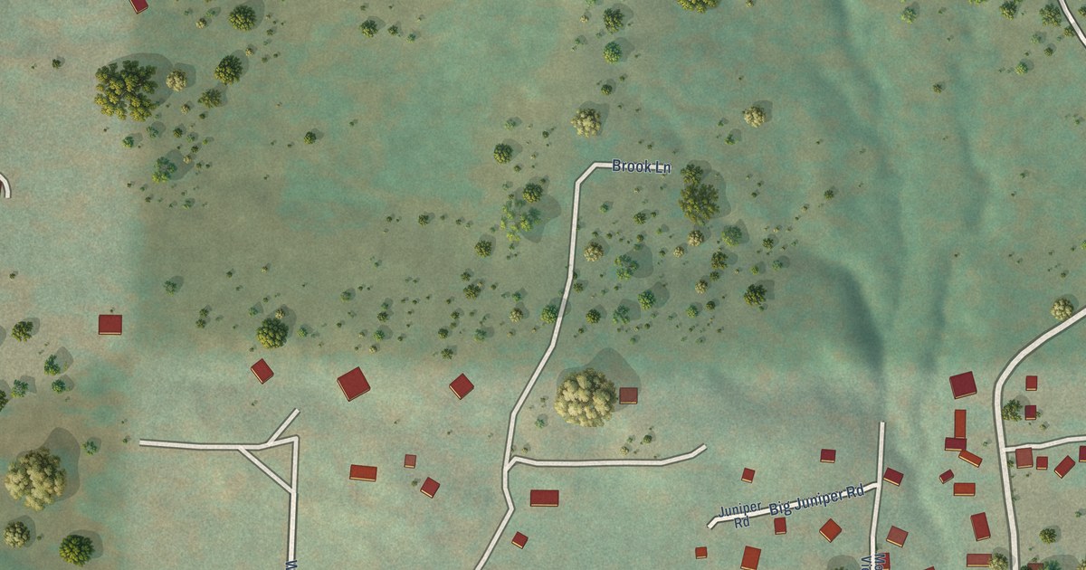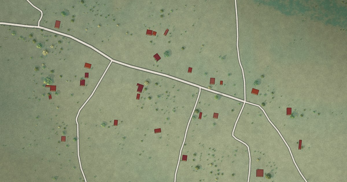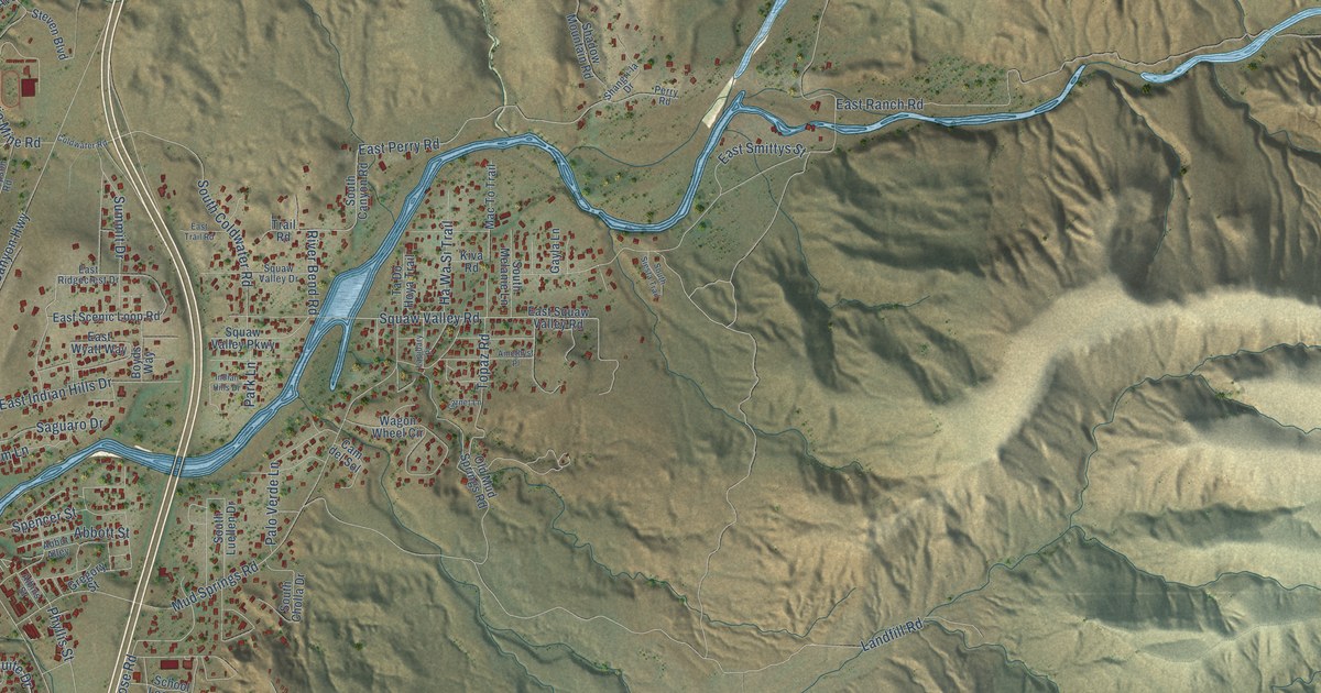
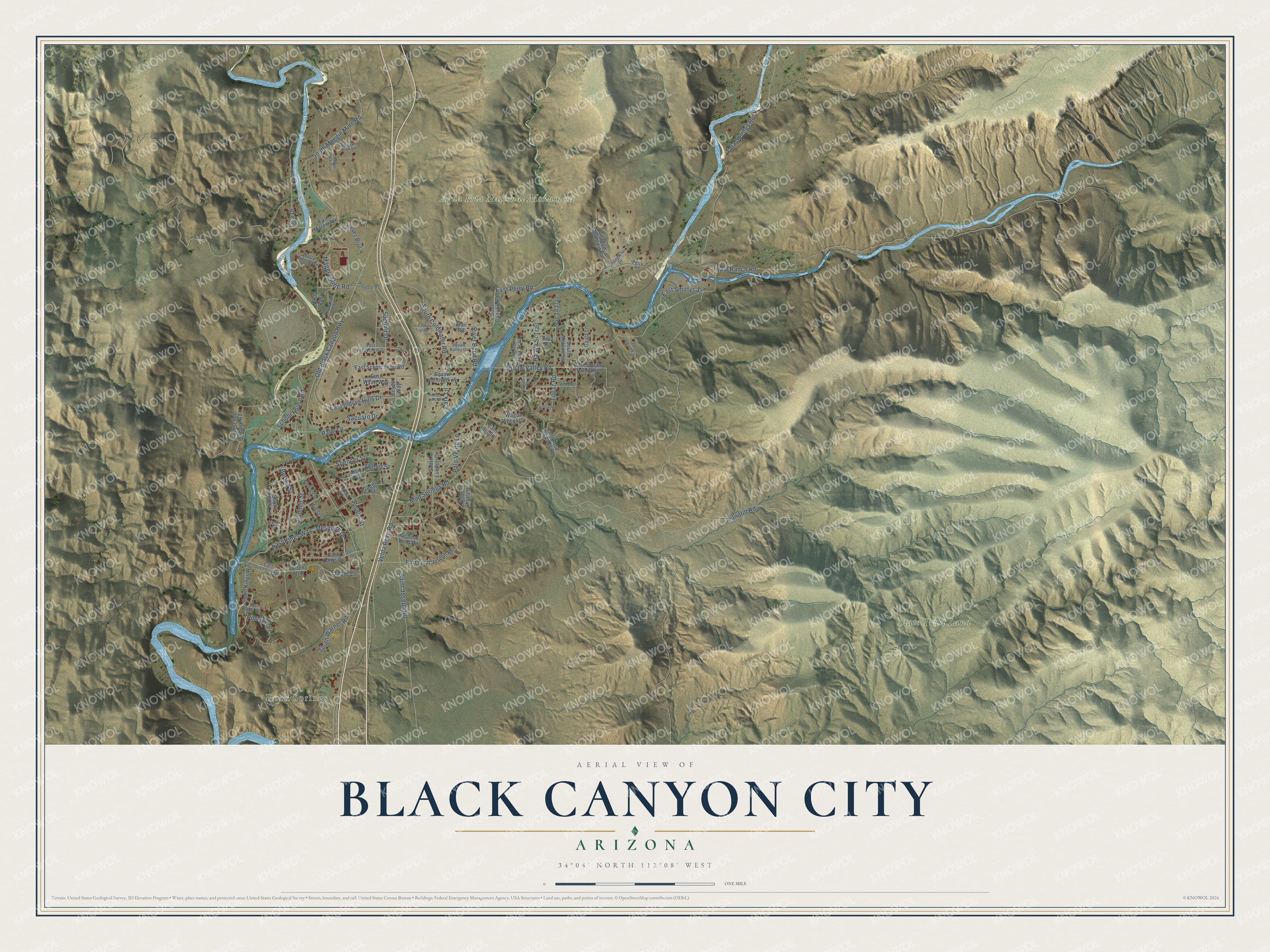
This beautifully detailed map of Black Canyon City, Arizona was created in 2026 using aerial imagery combined with modern topographical, census, street and landmark data. It's a modern aerial view of Black Canyon City in Yavapai County, Arizona, that combines modern data with a vintage aesthetic. The roads feature printed names, and if you look closely you can find your exact house accurately shown in its correct location.
Explore an aerial view of Black Canyon City, Arizona
On this map you'll find Rock Springs, Agua Fria National Monument, State Trust Land, East Kings Way, Mesquite Drive, River Bend Road, East Perry Road, Velda Rose Road, Pinnacle Place, Old Black Canyon Highway, Saint Joseph Road, Spencer Street, and more. Each red shape is a building, so zoom in on the preview and look for yours.
Black Canyon City is a community in Yavapai County. The Census Bureau counted 2,677 people here in 2020. Black Canyon City sits about 13 miles north of New River, 16 miles north of Anthem and 17 miles south of Cordes Lakes. The map prints the town name in its title panel, with the coordinates below it.
Take a closer look at the Black Canyon City map
Names on this map
These names are printed on this map.
Places: Rock Springs, Agua Fria National Monument and State Trust Land.
Streets and roads: East Kings Way, Mesquite Drive, River Bend Road, East Perry Road, Velda Rose Road, Pinnacle Place, Old Black Canyon Highway, Saint Joseph Road, Spencer Street, Tara Springs Road, East Ranch Road, Landfill Road.
More street names, A to Z
Abbot Alley, Abbott Street, Albins Street, Amethyst Place, Ann Black Street, Bertha Street, Boyds Way, Cam del Sol, Coldwater Road, East Agua Vis, East Indian Hills Drive, East Maren Avenue, East Oasis Drive, East Queen's Way, East Ridgecrest Drive, East Saint Joseph Road, East Scenic Loop Road, East School House Road, East Smittys Street, East Trail Road, East Wyatt Way, Ellen Drive, Garnet Lane, Gayla Lane, Gregory Street, Happy Jack Trail, Ha Wa Si Trail, Hill Street, Indian Hills Drive, Jacie Lane, Kiva Road, Lapidary Place, Lisa Drive, Mac To Trail, Maggie Mine Road, Mud Springs Road, Nasty Basin, Nasty Ridge Trail, Oasis Drive, Old Mud Springs Road, Palm Lane, Palo Verde Lane, Park Lane, Perry Road, Phyllis Street, Saguaro Drive, School House Road, School Loop Road, Shadow Mountain Road, Shangri-la Drive, South Canyon Road, South Cholla Drive, South Coldwater Road, South Golden Lane, South Kings Way, South Luellen Drive, South Maggie Mine Road, South Melanie Lane, South Siesta Trail, South Warner Road, Steven Boulevard, Summit Drive, Ta Do Hoya Trail, Thompson Road, Topaz Road, Trail Road, Vladimir Street, Wagon Wheel Circle, Wanda Drive.
See it on a wall
The Black Canyon City map as a framed print. Swipe for more.


Created by KNOWOL in 2026. The buildings are small red shapes, the roads carry their printed names, and shaded relief shows the shape of the land. The title panel reads "AERIAL VIEW OF BLACK CANYON CITY, ARIZONA" with 34°04' NORTH 112°08' WEST.
It looks right in a kitchen, an office or a den, and it's a gift for anyone who grew up in Black Canyon City or moved away. Open the preview and find your street. See sizes and frames for the Black Canyon City map.