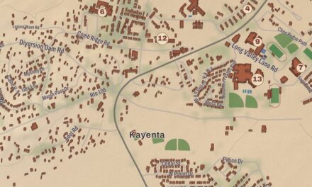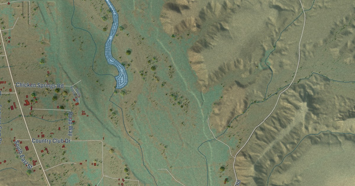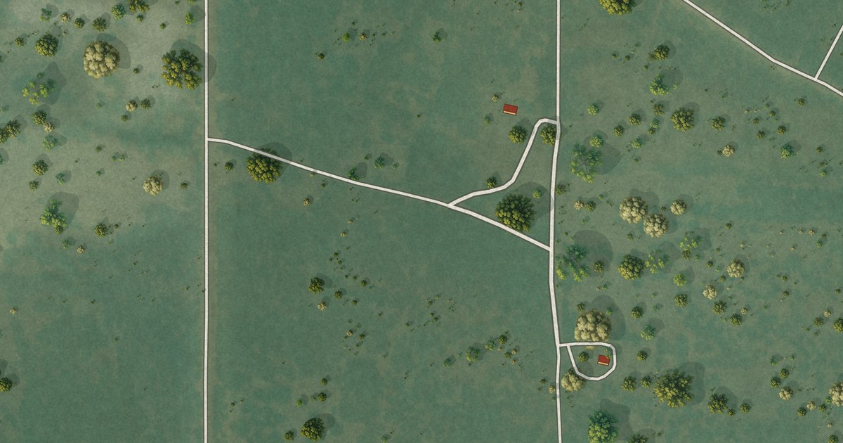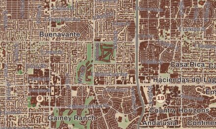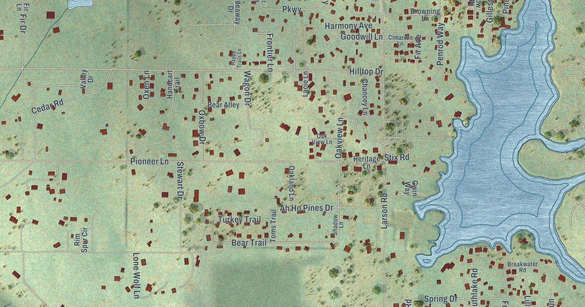
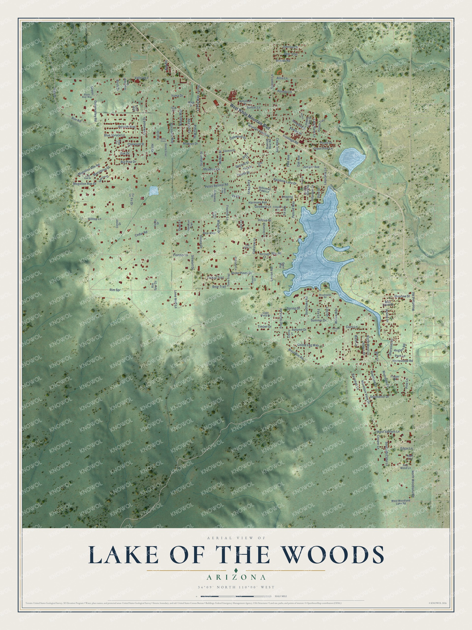
This beautifully detailed map of Lake of the Woods, Arizona was created in 2026 using aerial imagery combined with modern topographical, census, street and landmark data. It’s a one-of-a-kind view of Lake of the Woods that combines accurate data with a vintage aesthetic. The map shows every building in its true location, many of the roads carry their names, and the shaded topographic relief shows the shape of the land.
Explore an aerial view of Lake of the Woods, Arizona
On the map you’ll find West White Mountain Boulevard, Homestead Road, Woodland Road, Hilltop Drive, Greenvalley Road, Cedar Road, Goose Leg Way, Lakeview Lane, Hansen Lane, Bear Trail, Parkway, Oakview Lane, and more. Lake of the Woods sits about 2 miles west of Pinetop-Lakeside, 4 miles southeast of Wagon Wheel and 5 miles northwest of Hondah. If you look closely you can even find your house accurately drawn in its correct location. Zoom in on the preview to look for yours.
Take a closer look at the Lake of the Woods map
Names on this map
These names are printed on this map.
Places: Mountain View Park.
Streets and roads: West White Mountain Boulevard, Homestead Road, Woodland Road, Hilltop Drive, Greenvalley Road, Cedar Road, Goose Leg Way, Lakeview Lane, Hansen Lane, Bear Trail, Parkway, Oakview Lane.
More street names, A to Z
Ah Ho Pines Drive, Alisa Lane, Anglers Road, Apache Cv, Apache Way, Arlene Drive, Autumn Drive, Bausman Lane, Bear Alley, Beaver Road, Big Pine Drive, Birch Drive, Black Bear Way, Bluejay Court, Blue Spruce Lane, Bob's Court, Breakwater Road, Browning Lane, Caseys Drive, Cedar Avenue, Chancey Lane, Cimarron Lane, Clancy Lane, Coconino Way, Conner Drive, Cooper Lane, Curry Lane, Deer Trail, East Parkway, Edgar Lane, Fir Avenue, Fir Drive, Fir Lane, Fourth Street, Fox Lane, Fraiser Drive, Frog Island Road, Frontage Road, Frontier Lane, Gila Drive, Gillespie Lane, Goodwill Lane, Graham Drive, Green, Greenleaf Drive, Green Pine Lane, Gwin Way, Hall Drive, Handcart Trail, Happy Trails Lane, Harmony Avenue, Heritage Lane, Hidden Pines Drive, Hideaway Drive, Hideaway Pines Lane, High Drive, Hill Drive, Hilltop Lane, Johnson Street, Juniper Avenue, Justice Lane, Kay Road, Kempa Drive, Koston Trail, Lacie Lane, Lago Vista Drive, La Paz, La Paz Way, Larson Road, Lazy River Lane, Lilly Drive, Live Oak Drive, Lockwood Drive, Lone Wolf Lane, Lynx Drive, Manzanita Drive, McNeil Street, Meadow Street, Meadow Vw, Mogollon Rim Drive, Mogollon Rim Road, Mohave Drive, Mountain View Drive, Mulholland Drive, Navajo Way, North West Lane, North Woodland Road, Oak Avenue, Oak Drive, Oakland Lane, Oak View Lane, Oakwood Drive, Oakwood Street, Oxbow Drive, Oxen Lane, Park Lane, Penney Lane, Penrod Way, Petes Retreat Road, Pima Way, Pinal Drive, Pine Avenue, Pine Circle, Pinecone Drive, Pine Lane, Pine Street, Pinon Drive, Pioneer Lane, Rainbow Lake Drive, Rainbow Lake Lane, Rainbow Lake Place, Reed Lane, Rim Road, Rim Spr, Rim Spur Circle, Riverside Drive, Rodeo Drive, Roy Wood Lane, Running Bear Road, Santa Cruz, Santa Cruze, Second Street, Shadow Lane, Shoreline Drive, Songbird Street, Southlake Road, South McCabe Lane, Sponsellor Drive, Spring Drive, Stewart Drive, Stix Road, Stradling Lane, Stringer Circle, Summer Drive, Sunrise Court, Sunset Lane, Third Street, Timber Drive, Toms Trail, Turkey Trail, Vallery Lane, Valley Drive, View Way, Wagon Drive, West Grove Drive, West Lane, West Parkway, West Rim Road, West Settlers Lane, West Woodland Lake Road, Willow Run, Yuma Drive.
See it on a wall
The Lake of the Woods map as a framed print. Swipe for more.


This beautifully detailed map of Lake of the Woods makes an attractive addition to your office, library, or den, and it can even be used to teach children the geography and history of the area. It also makes a great gift for anyone with Lake of the Woods roots. When you’re done exploring, click here to get your copy of the Lake of the Woods map.