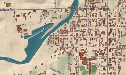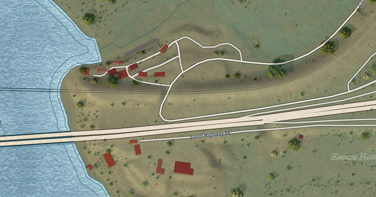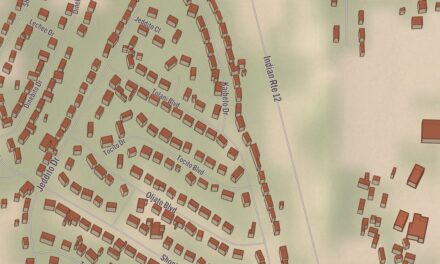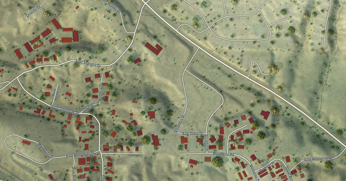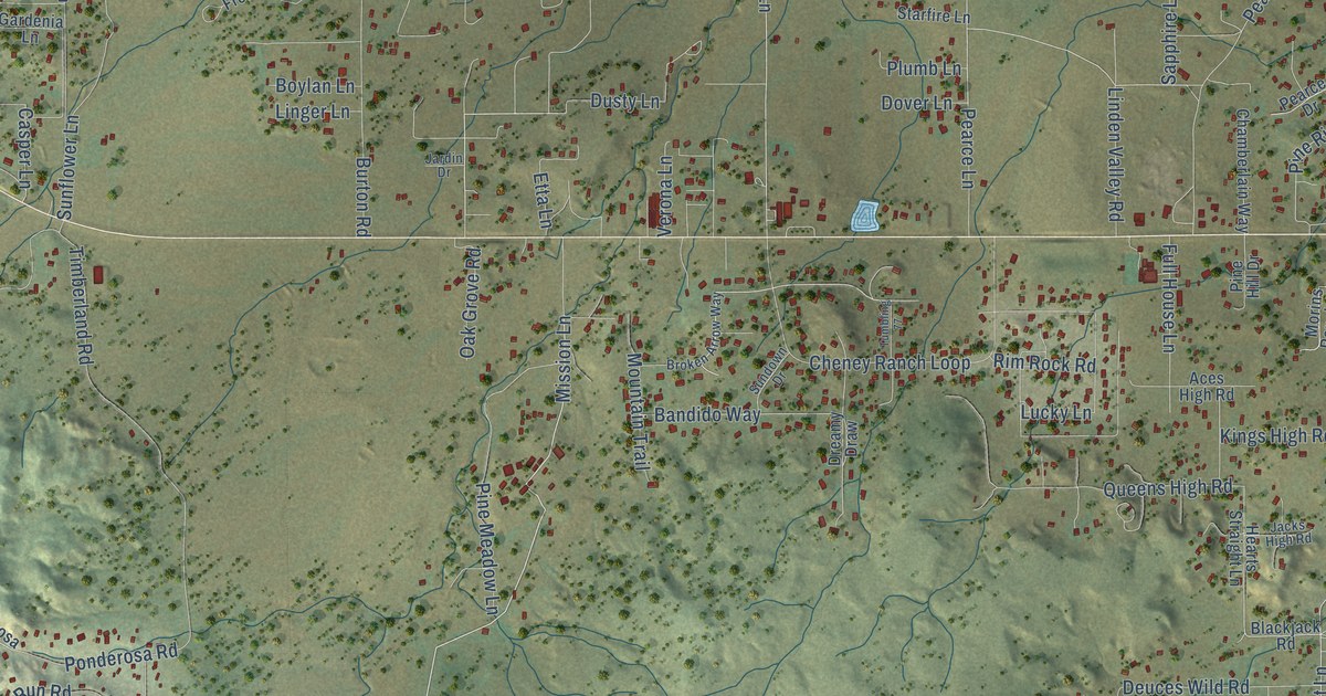
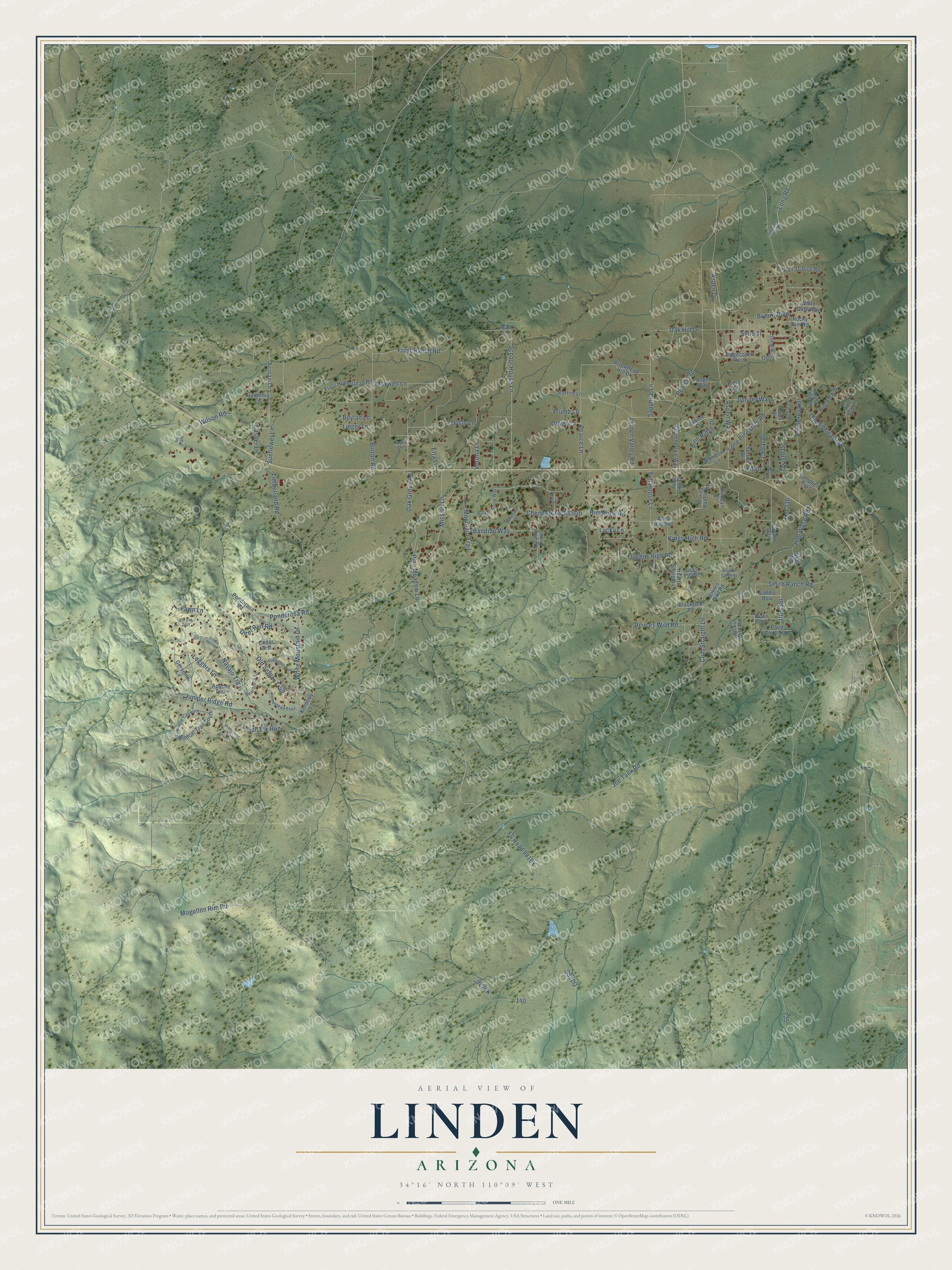
This beautifully detailed map of Linden, Arizona was created in 2026 using aerial imagery combined with modern topographical, census, street and landmark data. It’s a one-of-a-kind view of Linden that combines accurate data with a vintage aesthetic. The map shows every building in its true location, many of the roads carry their names, and the shaded topographic relief shows the shape of the land.
Explore an aerial view of Linden, Arizona
On the map you’ll find Joe Tank Road, Mission Lane, Club Straight Lane, School House Lane, Bandido Way, Aspen Way, Ponderosa Road, Pine Ridge Drive, Dwight Drive, Mogollon Rim Road, Lone Pine Dam Road, Pearce Road, and more. Linden sits about 6 miles west of Show Low, 8 miles southeast of Pinedale and 8 miles northwest of Wagon Wheel. If you look closely you can even find your house accurately drawn in its correct location. Zoom in on the preview to look for yours.
Take a closer look at the Linden map
Names on this map
These names are printed on this map.
Streets and roads: Joe Tank Road, Mission Lane, Club Straight Lane, School House Lane, Bandido Way, Aspen Way, Ponderosa Road, Pine Ridge Drive, Dwight Drive, Mogollon Rim Road, Lone Pine Dam Road, Pearce Road.
More street names, A to Z
Aces High Road, Anasazi Lane, Angel Way, Apache Trail, Arrowhead Hill Drive, Aspen Drive, Bear Track Lane, Blackjack Road, Boulder Creek Road, Boylan Lane, Broken Arrow Way, Bryant Boulevard, Buckskin Drive, Bull Elk Run, Burton Road, Bustin Dutch, Campbell Pass, Casper Lane, Cavallo Trail, Cedar Crst, Cedar Drive, Chamberlain Way, Chaparral Drive, Cheney Ranch Loop, Crest View Drive, Deer Run Road, Deuces Wild Road, Dover Lane, Dreamy Draw, Dusty Lane, Etta Lane, Fawn Drive, Fawn Lane, Fern Way, Fir Drive, Frost Homestead Road, Frost Ranch Road, Full House Lane, Gardenia Lane, Geronimo Lane, Hearts Straight Lane, Hill Top Lane, Hog Wash Road, Homestead Trail, Indian Hill Lane, Iron Spr, Ivy Path, Jacks High Road, Jacks Wild Road, Jardin Drive, Jokers Wild Road, Juniper Ridge Road, Juniper Way, Kimball Lane, Kimberly Lane, Kims Way, Kings High Road, Linden Valley Road, Linger Lane, Loggers Lane, Long Road, Lucky Lane, Maxwell Lane, Mm 336, Morins Ranch Road, Mountain Trail, Navajo Trail, Neal Road, Oak Grove Road, Oak Hill Drive, Old Forest Trail, Old Highway 160, Old Oak Trail, Old Settler Trail, Outlaw Pass, Paint Pony Trail, Pair-O-Dice Road, Pearce Drive, Pearce Lane, Pine Hill Drive, Pine Meadow Lane, Plumb Lane, Pondarosa Road, Ponderosa Drive, Queens High Road, Rainbow Lane, Rim Rock Road, Rim View Drive, Rocky Rim Road, Ryan Lane, Saddle Bow, Sapphire Lane, Shilo Tl, Smith Ranch Road, Spruce Drive, Stagecoach Pass, Starfire Lane, Sundown Drive, Sunflower Lane, Timberland Road, Tumbling 77, Unnamed Gated Road, Verona Lane, White Gate Way, White Mountain Drive, Wildcat Trail North, Wildcat Trail South, Wilderness Trail, Wilson Road.
See it on a wall
The Linden map as a framed print. Swipe for more.


This beautifully detailed map of Linden makes an attractive addition to your office, library, or den, and it can even be used to teach children the geography and history of the area. It also makes a great gift for anyone who grew up in Linden or moved away. When you’re done exploring, click here to get your copy of the Linden map.