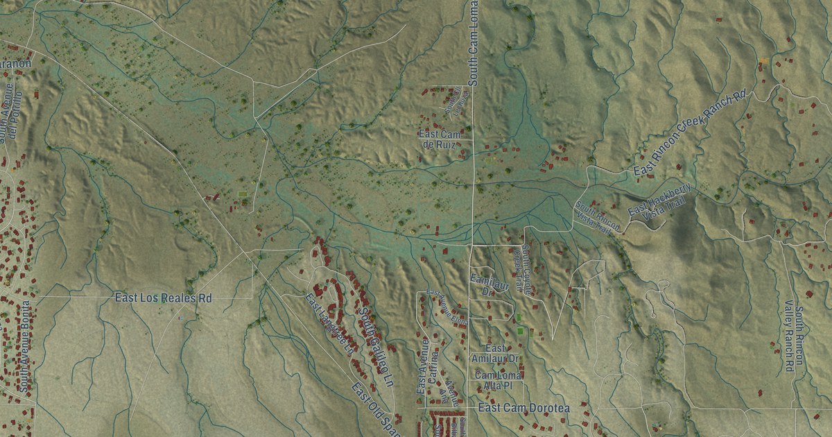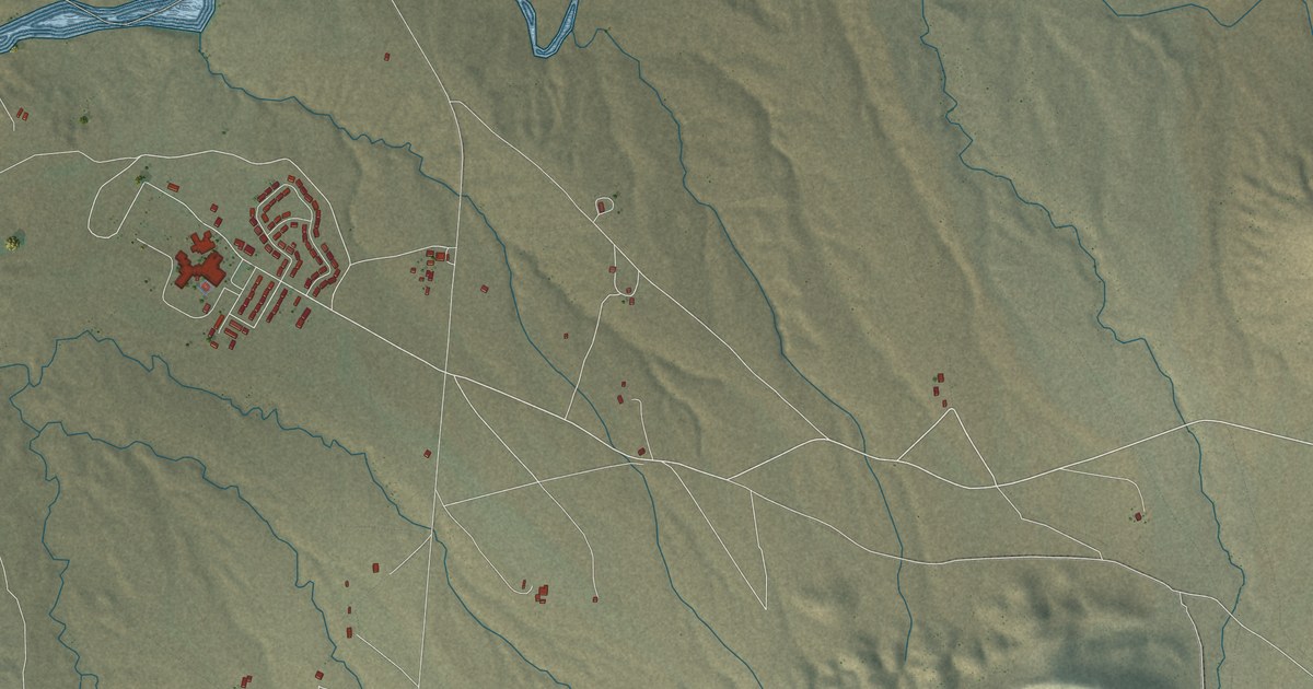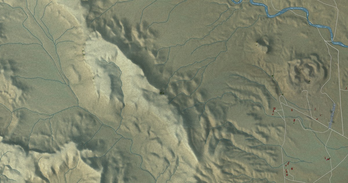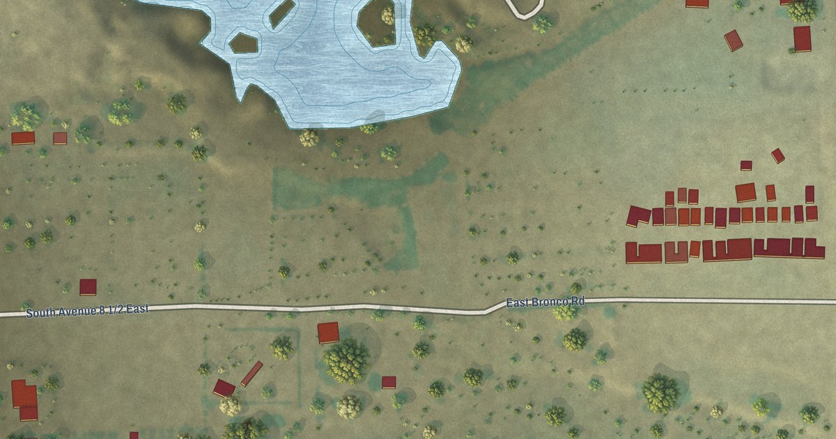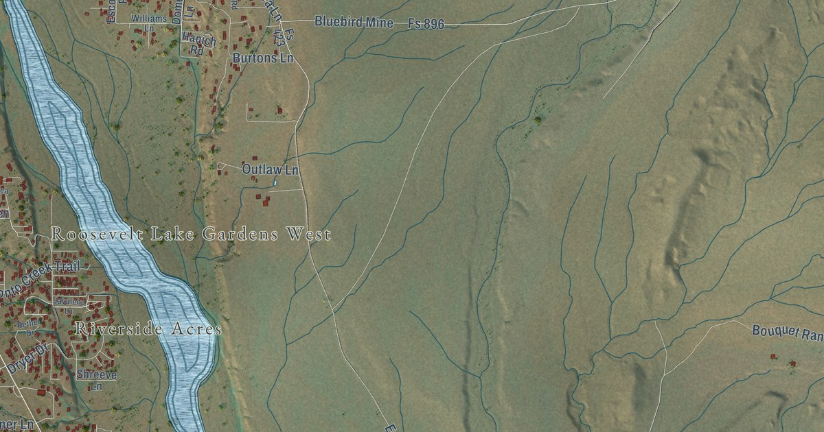
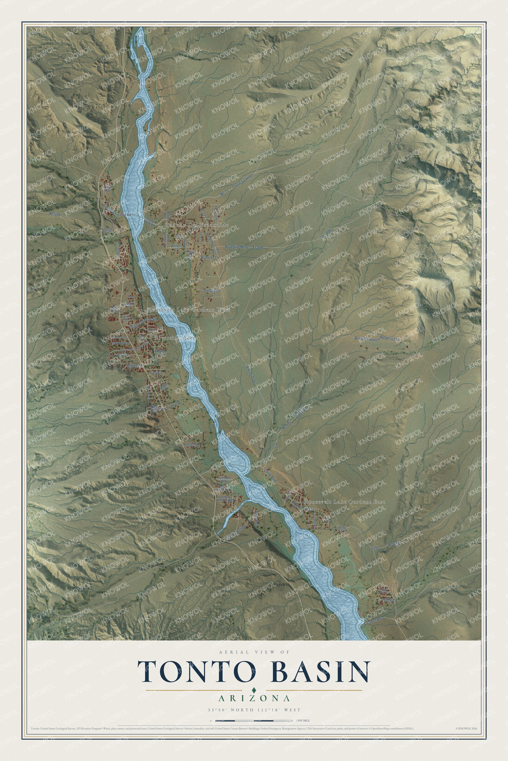
This beautifully detailed map of Tonto Basin, Arizona was created in 2026 using aerial imagery combined with modern topographical, census, street and landmark data. It’s a one-of-a-kind view of Tonto Basin that combines accurate data with a vintage aesthetic. The map shows every building in its true location, many of the roads carry their names, and the shaded topographic relief shows the shape of the land.
Explore an aerial view of Tonto Basin, Arizona
On the map you’ll find Roosevelt Lake Gardens East, Rancho Del Escondido, Roosevelt Lake Gardens West, Riverside Acres, Nf-71, Thorn’s Corner, Nf – 896, Nf-424, Nf-423, and Nf-409, along with Ewing Trail, Cline Boulevard, and more. Tonto Basin sits about 11 miles south of Jakes Corner, 16 miles south of Deer Creek and 16 miles northwest of Roosevelt. If you look closely you can even find your house accurately drawn in its correct location. Zoom in on the preview to look for yours.
Take a closer look at the Tonto Basin map
Names on this map
These names are printed on this map.
Places: Roosevelt Lake Gardens East, Rancho Del Escondido, Roosevelt Lake Gardens West and Riverside Acres.
Streets and roads: Nf-71, Thorn's Corner, Nf - 896, Nf-424, Ewing Trail, Nf-423, Cline Boulevard, Nf-409, Bluebird Mine, Fs 896, A-Cross Road, Nf-425.
More street names, A to Z
47th Road, Alcura Lane, Becca Lane, Bethel Drive, Bird Dog Lane, Bouquet Ranch Road, Buckshot Lane, Burtons Lane, Butcherhook Drive, Crappie Lane, Dome Lane, Dryer Drive, Earl Drive, East El Vagamundo Lane, Elmer Lane, Elm Street, Escondido Road, Ewing Ranch Road, Fast Lane, Forrest Drive, Fs 423, Green Back Road, Greenback Valley Road, Grimes Road, Hanich Road, Hash Trail, Hunsaker Way, Jacqleen Drive, Javalena Lane, Lake Vis, Lizard Leap Lane, McLelland, Mimosa, Old Mill Road, Old State Route 188, Outlaw Lane, Park Way Drive, Purtill Trail, Quail Trail, Rocky Road, Rodeo Drive, Rope Road, Saguaro Road, Sally May Circle, Shelby Lane, Shreeve Lane, Simmons Road, Sleepy Hollow, Sleepy Hollow Way, Tonto Creek Trail, Williams Lane.
See it on a wall
The Tonto Basin map as a framed print. Swipe for more.


This beautifully detailed map of Tonto Basin makes an attractive addition to your office, library, or den, and it can even be used to teach children the geography and history of the area. It also makes a great gift for anyone with Tonto Basin roots. When you’re done exploring, click here to get your copy of the Tonto Basin map.