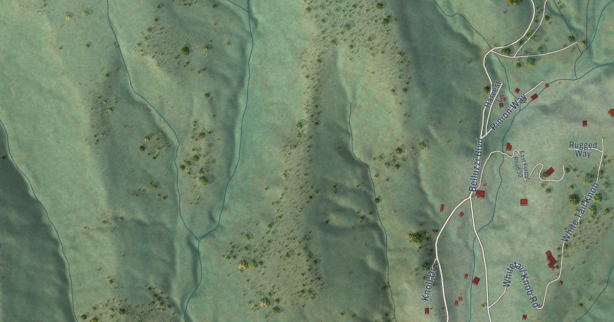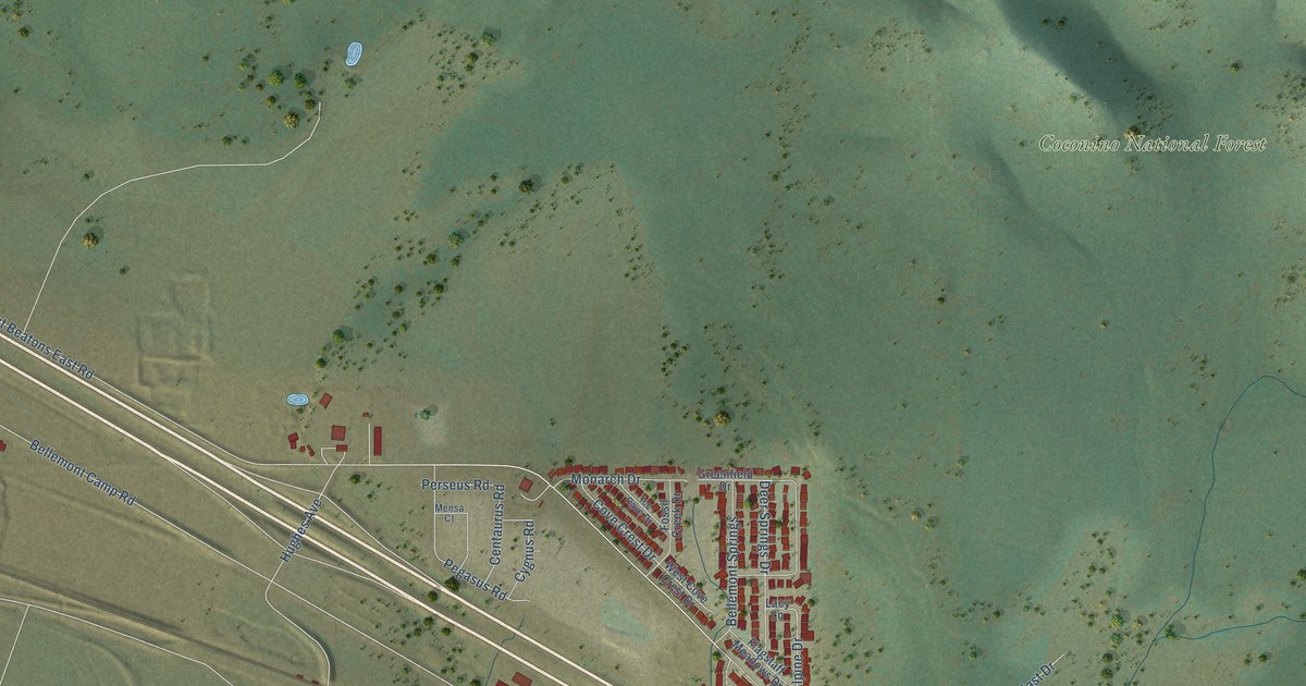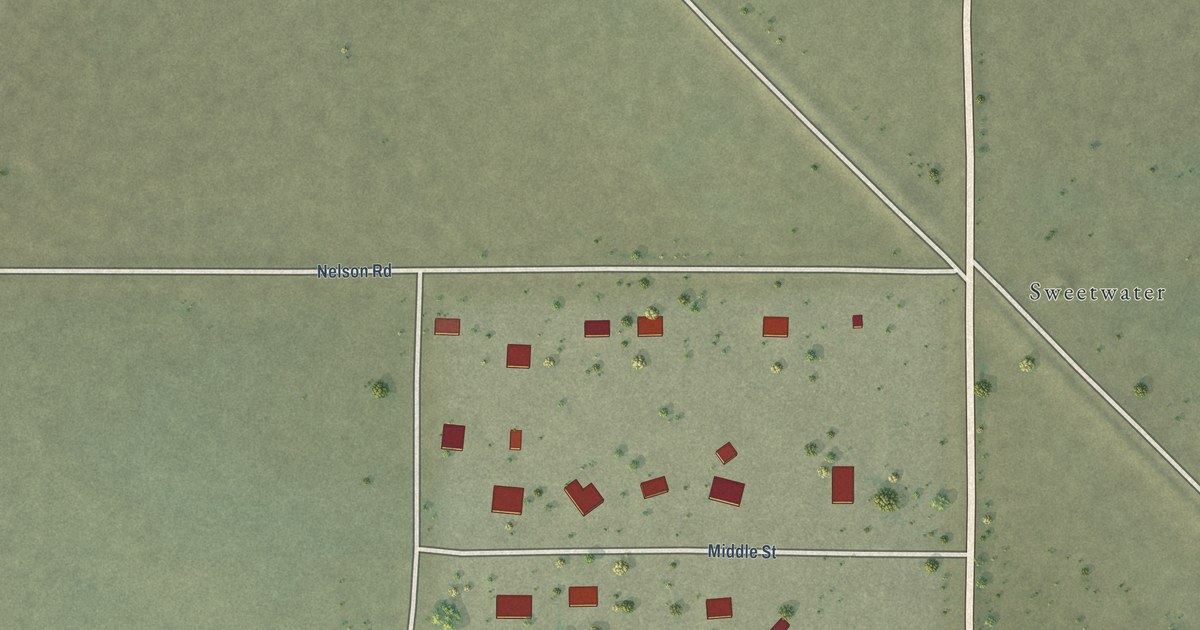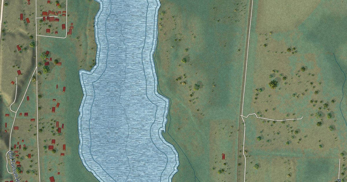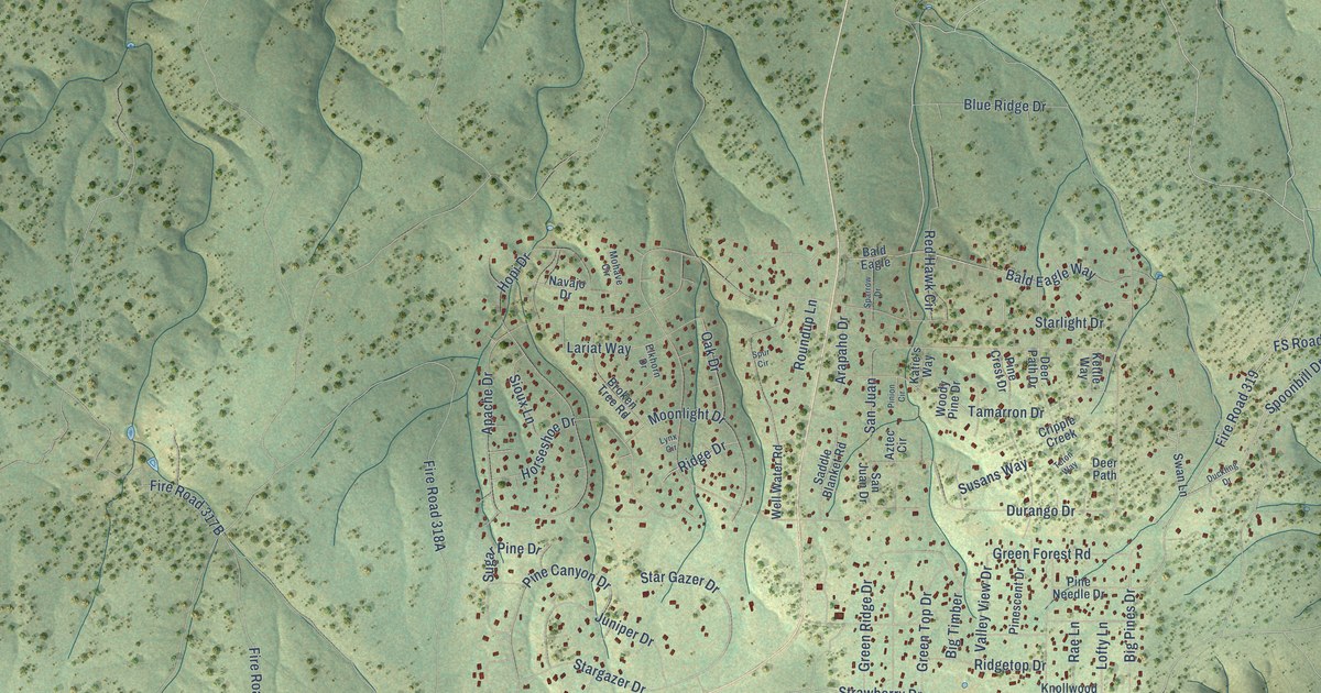
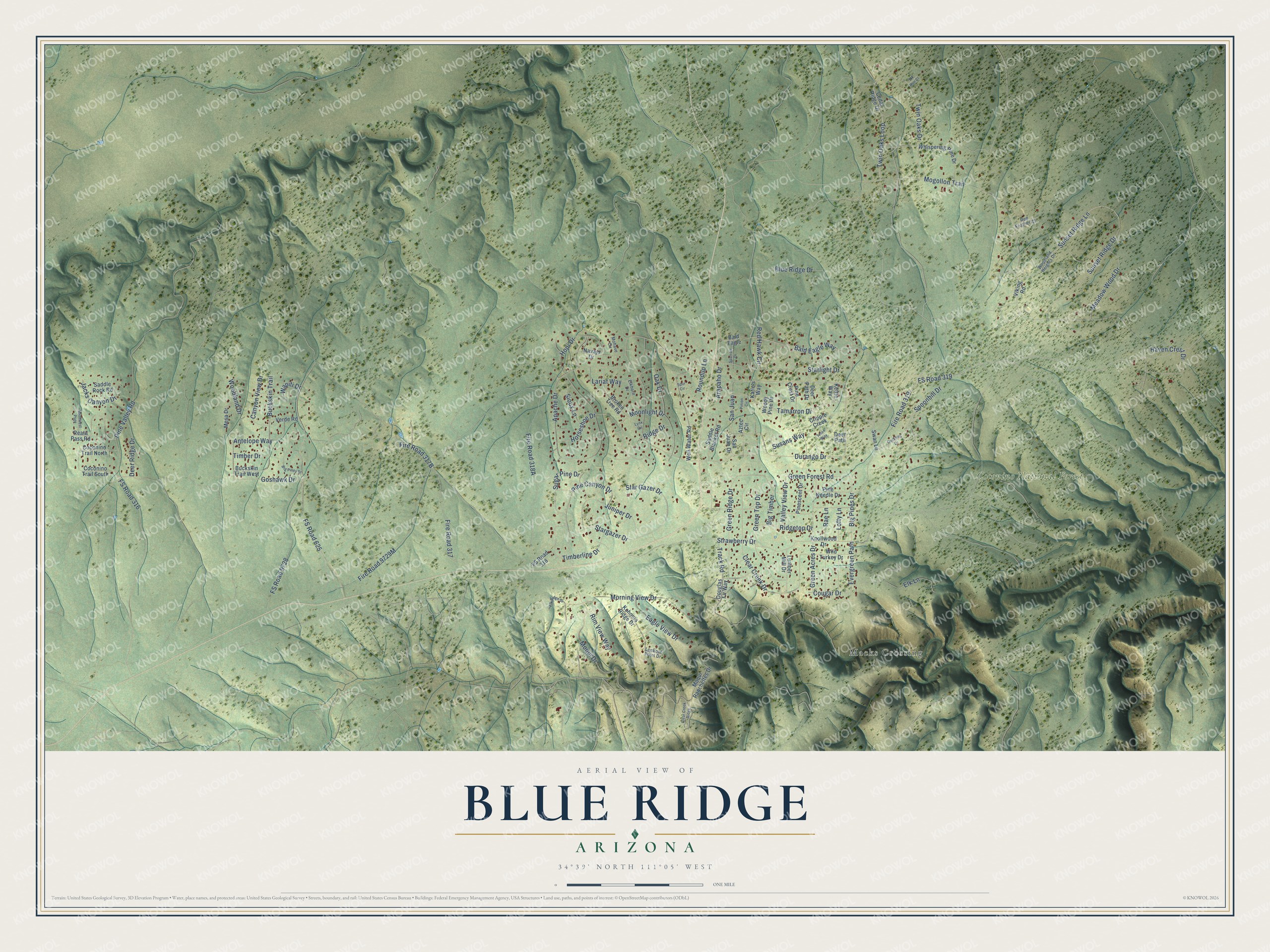
This beautifully detailed map of Blue Ridge, Arizona was created in 2026 using aerial imagery combined with modern topographical, census, street and landmark data. It’s a one-of-a-kind view of Blue Ridge that combines accurate data with a vintage aesthetic. The map shows every building in its true location, many of the roads carry their names, and the shaded topographic relief shows the shape of the land.
Explore an aerial view of Blue Ridge, Arizona
On the map you’ll find Coconino National Forest, Macks Crossing, and FS Road 319, along with Twin Oaks Drive, Bald Eagle Way, Twin Oaks Loop, Blue Ridge Drive, Spoonbill Drive, Moqui Drive, Tamarron Drive, Morning View Drive, Evergreen Path, and more. Blue Ridge sits about 19 miles northeast of Washington Park, 20 miles north of Mead Ranch and 21 miles northeast of Whispering Pines. If you look closely you can even find your house accurately drawn in its correct location. Zoom in on the preview to look for yours.
Take a closer look at the Blue Ridge map
Names on this map
These names are printed on this map.
Places: Coconino National Forest and Macks Crossing.
Streets and roads: Twin Oaks Drive, Bald Eagle Way, Twin Oaks Loop, Blue Ridge Drive, FS Road 319, Spoonbill Drive, Moqui Drive, Tamarron Drive, Morning View Drive, Evergreen Path, Pine Canyon Drive, Durango Drive.
More street names, A to Z
Antelope Way, Apache Drive, Arapaho Drive, Aztec Circle, Bald Eagle, Big Pines Drive, Big Piney Drive, Big Timber, Broken Tree Road, Buckskin Trail, Buckskin Trail West, Canyon View Drive, Cedar Ridge Drive, Clear Creek Drive, Clear Creek Ridge, Coconino Trail North, Coconino Trail South, Cougar Drive, Cripple Creek, Deer Path, Deer Path Drive, Deer Ridge Drive, Douglas Fir Way, Duckling Drive, Eagle View Drive, Elkhorn Drive, Elk Lane, Elk Ridge Drive, Elk Run Court, Fire Road 317, Fire Road 319, FS Road 316, FS Road 318, FS Road 625, FS Road 9728, Goshawk Drive, Green Acres Drive, Green Forest Road, Green Ridge Drive, Green Top Drive, Haven Crest Drive, Hopi Drive, Horseshoe Drive, Jacks Canyon Drive, Juniper Drive, Katie's Way, Kettle Way, Knollwood Drive, Kohners Ridge Drive, Lariat Way, Lofty Lane, Lookout Point Drive, Lumber Mill Drive, Lynx Circle, Meadow Wood Drive, Mesa Drive, Mogollon Trail, Mohave Circle, Moonlight Drive, Moqui Ranchettes Drive, Navajo Drive, Northwest Psge, Oak Drive, Pine Crest Drive, Pine Needle Drive, Pinescent Drive, Pine Valley Road, Pinion Circle, Rae Lane, Reata Pass Road, Red Feather Court, Red Hawk Circle, Ridge Drive, Ridgetop Drive, Rim View Way, Roundup Lane, Saddle Blanket Road, Saddle Rock Road, San Juan, San Juan Drive, Sioux Lane, Sparrow Drive, Spur Circle, Stargazer Drive, Star Gazer Drive, Starlight Drive, Strawberry Drive, Sugar Pine Drive, Sunset Ridge Drive, Sunset Ridge Lane, Susans Way, Swan Lane, Teton Way, Timber Drive, Timberline Drive, Track Road, Valley View Drive, Verde Road, Viking Road, Wapiti Drive, Well Water Road, Whispering Pine Drive, Wild Turkey Drive, Woodland Drive, Woodland Heights Drive, Woody Pine Drive.
See it on a wall
The Blue Ridge map as a framed print. Swipe for more.


This beautifully detailed map of Blue Ridge makes an attractive addition to your office, library, or den, and it can even be used to teach children the geography and history of the area. It also makes a great gift for someone who left Blue Ridge and still calls it home. When you’re done exploring, click here to get your copy of the Blue Ridge map.