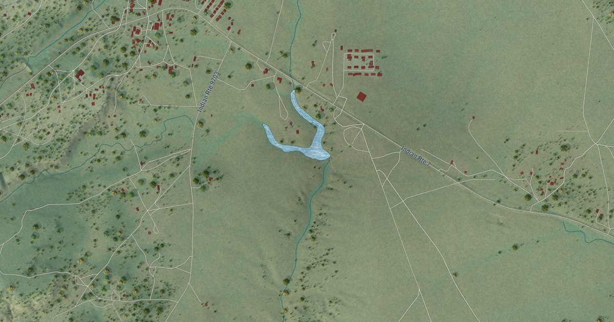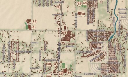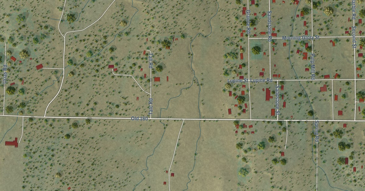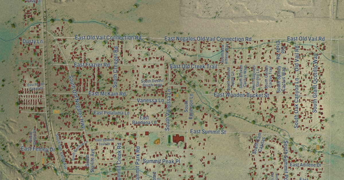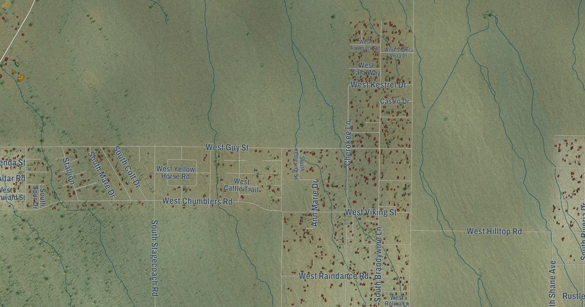
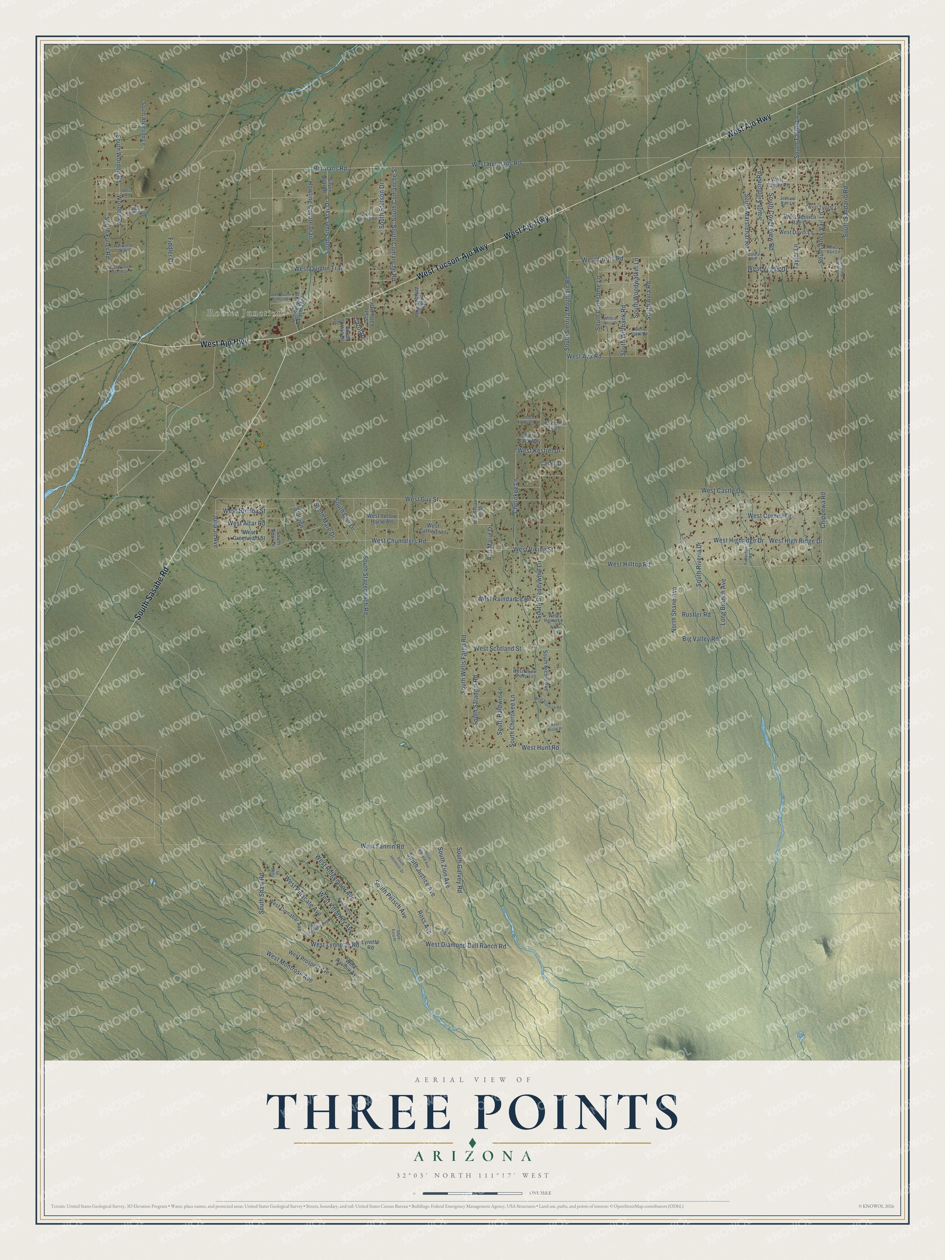
This beautifully detailed map of Three Points, Arizona was created in 2026 using aerial imagery combined with modern topographical, census, street and landmark data. It’s a one-of-a-kind view of Three Points that combines accurate data with a vintage aesthetic. The map shows every building in its true location, many of the roads carry their names, and the shaded topographic relief shows the shape of the land.
Explore an aerial view of Three Points, Arizona
On the map you’ll find Robles Junction, along with West Ajo Highway, West Tucson-Ajo Highway, South Sasabe Road, West Diamond Bell Ranch Road, South Fuller Road, South Alice Vail Lane, South Brandywine Lane, Ann Marie Drive, Hermans Road, West Montrose Avenue, Big Valley Road, and more. Three Points sits about 11 miles southwest of Valencia West, 13 miles southwest of Tucson Estates and 15 miles southwest of Drexel Heights. If you look closely you can even find your house accurately drawn in its correct location. Zoom in on the preview to look for yours.
Take a closer look at the Three Points map
Names on this map
These names are printed on this map.
Places: Robles Junction.
Streets and roads: West Ajo Highway, West Tucson-Ajo Highway, South Sasabe Road, West Diamond Bell Ranch Road, South Fuller Road, South Alice Vail Lane, South Brandywine Lane, Ann Marie Drive, Hermans Road, West Montrose Avenue, Big Valley Road, South Marstellar Road.
More street names, A to Z
Alice Vail Lane, Carol Drive, Castro Drive, Cherokee Lane, Chippewa Road, Dales Road, Doyle, Fiddler Drive, Fullerton Road, Honeysuckle Farm Trail, Howling Coyote Trail, Jessica Rae Lane, Julia Jo Avenue, Lace Place, Long Branch Avenue, Lynette Road, Nikki Lane, North Shane Avenue, Ortiz Road, Ross Avenue, Rustler Road, Silver Star Drive, South Alayne Spring Road, South Antique Way, South Atkinson Lane, South Avra Road, South Baldwin Lane, South Cherokee Lane, South Colt Drive, South Comanche Road, South Comanche Street, South Cover View Road, South Ezra Place, South Fillmore Road, South Garvey Road, South Jacobson Drive, South Justice Avenue, South Kettering Street, South Lonesome Lane, South Mare Drive, South Nicole Avenue, South Petsch Avenue, South Renegade Avenue, South Riveria Drive, South Saladom Road, South Sandario Road, South Shaw Road, South Sierrita Mountain Road, South Silver Star Drive, South Spur Drive, South Stagecoach Road, South Stetson Drive, South Taylor Lane, South Valerie Drive, South Van Drive, South Wells Fargo Road, South Wiltbank Road, South Winfield Avenue, South Woodwalker Lane, South Worden Road, South Zion Avenue, Stallion, Taylor Lane, Toler Place, West Altar Road, West Applejack Road, West Arnota Road, West Aubrey Avenue, West Ava Road, West Black Sheep Lane, West Brenda Street, West Brook Place, West Castle Drive, West Cattle Trail, West Chumblers Road, West Cinnabar Avenue, West Cornell Drive, West Cortel Road, West Daviti Lane, West Easter Place, West Fannin Road, West Fiddler Drive, West Greenwald Street, West Guy Street, West Hermans Road, West High Ridge Drive, West Highridge Drive, West Hilltop Road, West Hunt Road, West Jessica Rae Lane, West Kestrel Drive, West Killarney Avenue, West Lynnette Road, West Pinacate Avenue, West Prospect Avenue, West Quinlin Trail, West Raindance Road, West Ravinia Avenue, West Ridgemoor Avenue, West Rolina Lane, West Scotland Street, West Sierrita Vista Drive, West Stanford Road, West State Road, West Sweet Jonquil Court, West Tala Way, West Trigger Lane, West Vegas Drive, West Viking Street, West Western Star Trail, West Yellow Horse Road, Whitfield Way, Wildcat Mesa Drive, Worden Road.
See it on a wall
The Three Points map as a framed print. Swipe for more.


This beautifully detailed map of Three Points makes an attractive addition to your office, library, or den, and it can even be used to teach children the geography and history of the area. It also makes a great gift for anyone who grew up in Three Points or moved away. When you’re done exploring, click here to get your copy of the Three Points map.