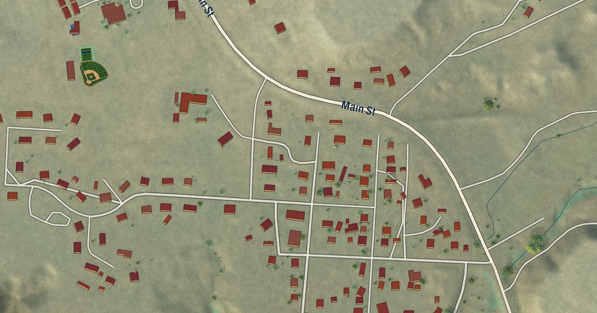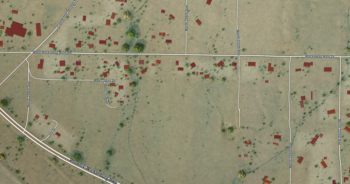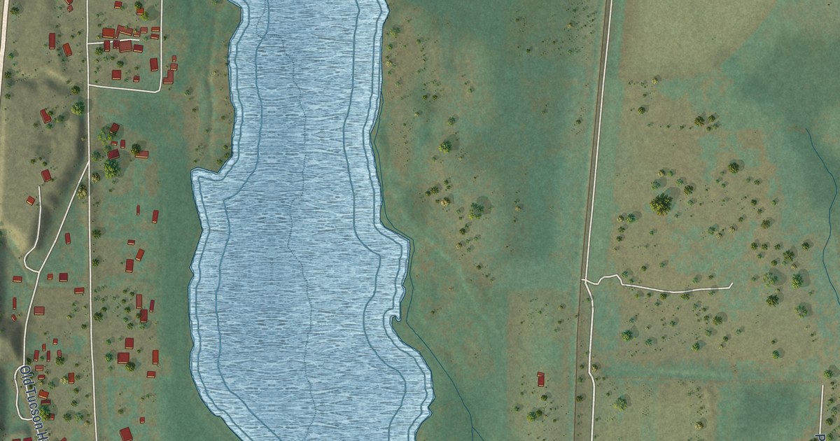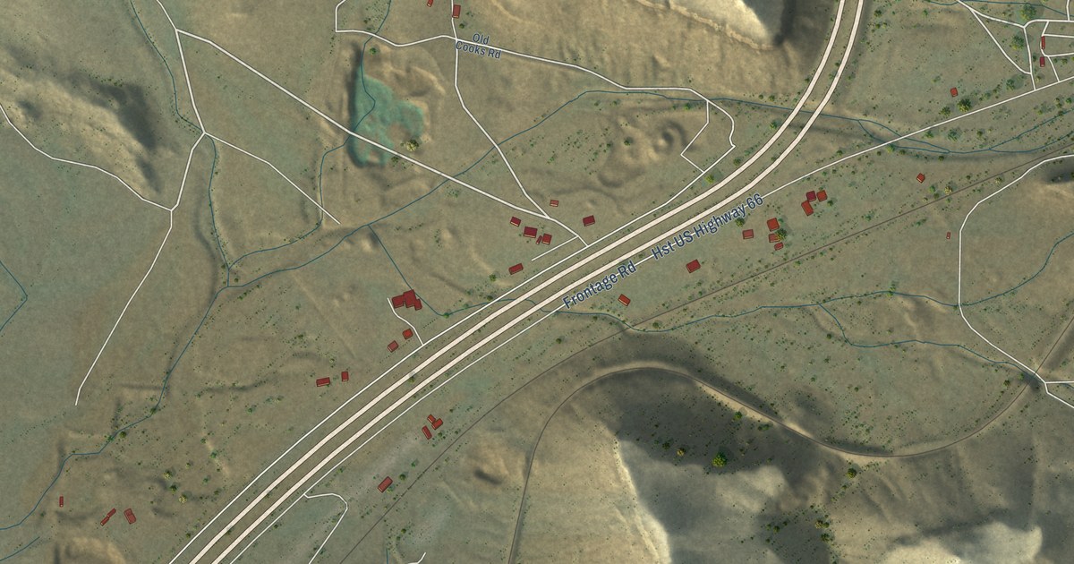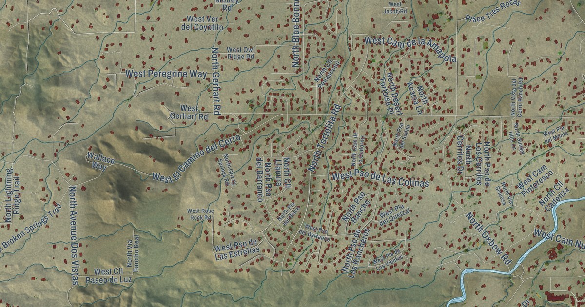
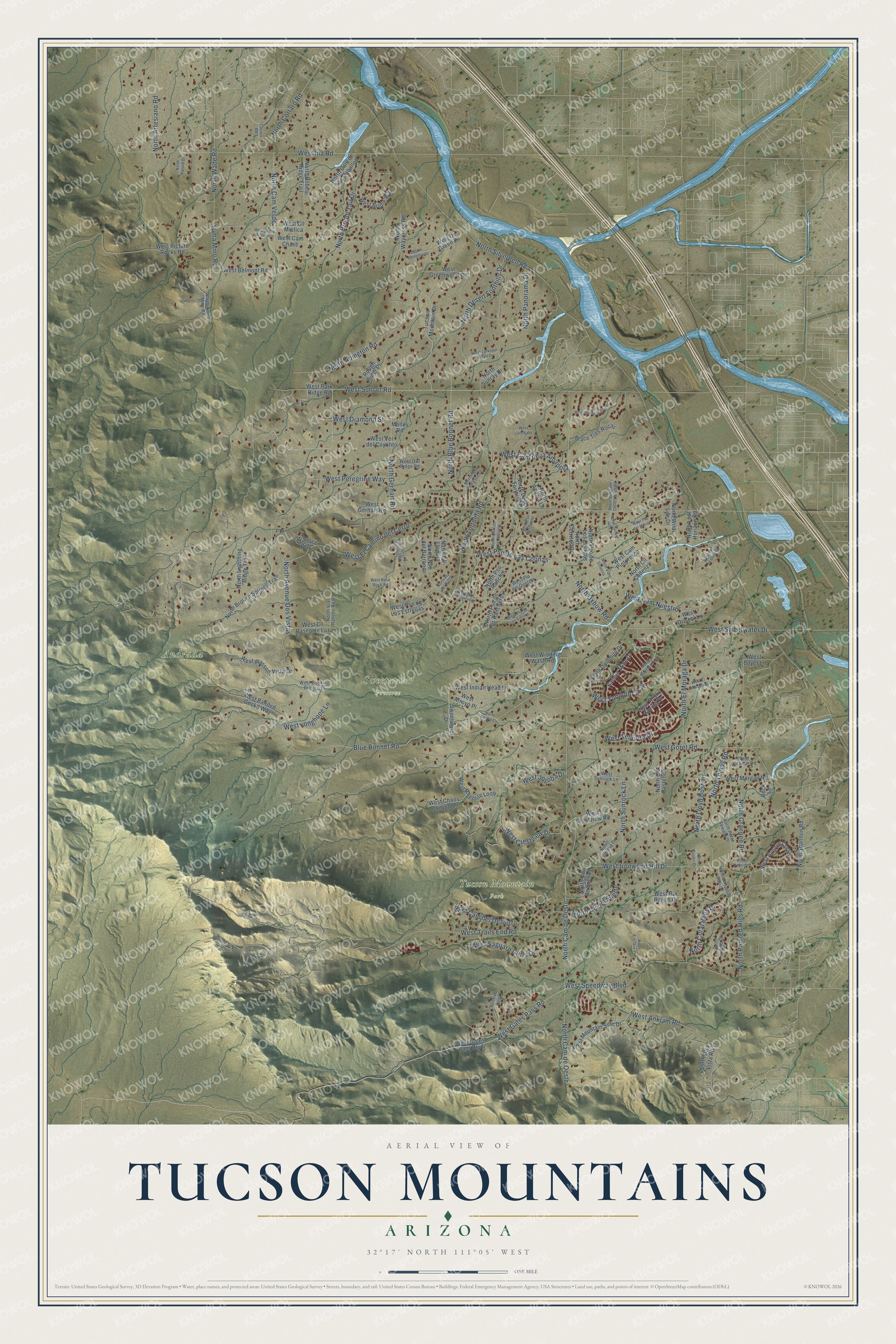
This beautifully detailed map of Tucson Mountains, Arizona was created in 2026 using aerial imagery combined with modern topographical, census, street and landmark data. It’s a one-of-a-kind view of Tucson Mountains that combines accurate data with a vintage aesthetic. The map shows every building in its true location, many of the roads carry their names, and the shaded topographic relief shows the shape of the land.
Explore an aerial view of Tucson Mountains, Arizona
On the map you’ll find Andrada, Sweetwater Preserve, Tucson Mountain Park, West Cam Nuestro, North Cam de Oeste, and West El Camino del Cerro, along with West Sunset Road, North Tortolita Road, West Tombolo Trail, North Blue Bonnet Road, North Gerhart Road, West Sweetwater Drive, and more. Tucson Mountains sits about 4 miles west of Flowing Wells, 6 miles southwest of Casas Adobes and 8 miles north of Tucson Estates. If you look closely you can even find your house accurately drawn in its correct location. Zoom in on the preview to look for yours.
Take a closer look at the Tucson Mountains map
Names on this map
These names are printed on this map.
Places: Andrada, Sweetwater Preserve and Tucson Mountain Park.
Streets and roads: West Sunset Road, North Tortolita Road, West Tombolo Trail, West Cam Nuestro, North Blue Bonnet Road, North Gerhart Road, North Cam de Oeste, West El Camino del Cerro, West Sweetwater Drive, North Silverbell Road, West Ina Road, North Abington Road.
More street names, A to Z
Banner Mine Drive, Blue Bonnet Road, Buck Lane, Cortaro Road, Molley Road, North Abington Drive, North Acacia Lane, North Alta Vista Road, North Arroyo Lane, North Artesiano Road, North Avenue Dos Vistas, North Bobcat Ridge Trail, North Broken Springs Trail, North Broom Tail Drive, North Cam de Deste, North Cam de la Codorniz, North Cam de Los Caballos, North Cam Verde, North Cerritos Drive, North Cll Cadenza, North Cll Castellon, North Cll del Suerte, North Cll Llanura, North Cll Penascoso, North Coral Bells Drive, North Cortaro Road, North Desert Foothills Drive, North Desert Tortoise Place, North Dolomite Drive, North Dupler Drive, North El Moraga Drive, North Enclave Place, North Grannen Road, North Grizzly Springs Road, North Harold Drive, North Indigo Drive, North Lightning Ridge Trail, North Lloyd Bush Drive, North Lost Horizon Road, North Magnetite Lane, North Oxbow Road, North Painted Hills Road, North Panorama Drive, North Peter Seward Drive, North Pla del Risco, North Pso del Barranco, North Pso de Los Cerritos, North Pso de Los Rancheros, North Pso del Sueno, North Pso Rancho, North Shannon Road, North Summit Drive, North Sunray Drive, North Sunrock Lane, North Sunset Hills Lane, North Tomas Road, North Via de Suenos, North Via Rancho Real, North Via Roma, North Via Sinuosa, North Vista del Cerro Ranch Road, North Wade Road, North Waycross Road, North Whispering Bells Drive, North Wild Life Drive, North Yuma Mine Road, Place Tres Rocas, Rough Rider Place, Sweetwater Drive, Tucson Mountain Drive, Wallace Way, West Anklam Road, West Arroyo Place, West Avenue Cresta, West Banded Gecko Way, West Bar Ranch Drive, West Belmont Road, West Boyer Lane, West Bridle Way, West Bucking Bronco Place, West Cam Chase, West Cam de la Amapola, West Cam del Desierto, West Cam Pintoresco, West Chaos Canyon Lane, West Cll de Mi Jazmin, West Cll Mistica, West Cll Paseo de Luz, West Crestview Drive, West Crestview Road, West De Green Lane, West Diamond Street, West Driscol Lane, West El Moraga Place, West Gates Pass Boulevard, West Gates Pass Road, West Gerhart Road, West Goret Road, West Greenwood Road, West Hiddenwood Place, West Hills of Gold Drive, West Indian Head Lane, West Ironwood Hill Drive, West Jacob Road, West Jojoba Drive, West Larkspur Ridge Drive, West Longhope Lane, West Morgan Road, West Mountain Side Drive, West Owl Ridge Road, West Park Ridge Road, West Pearl Drive, West Peregrine Way, West Picture Rocks Road, West Pla del Monte, West Pla de Los Vientos, West Pla del Quetzal, West Pso de Las Colinas, West Pso de Las Estrellas, West Pso del Barranco, West Rhyolite Loop, West Rocky Spring Drive, West Rose Rock Road, West Ruthann Road, West Saguaro Cliffs Drive, West Speedway Boulevard, West Sunrock Lane, West Tellurite Drive, West Trails End Road, West Ver del Coyotito, West Wasson Vista Drive, West Winding Wash Road, Yuma Mine Road.
See it on a wall
The Tucson Mountains map as a framed print. Swipe for more.


This beautifully detailed map of Tucson Mountains makes an attractive addition to your office, library, or den, and it can even be used to teach children the geography and history of the area. It also makes a great gift for anyone who grew up in Tucson Mountains or moved away. When you’re done exploring, click here to get your copy of the Tucson Mountains map.