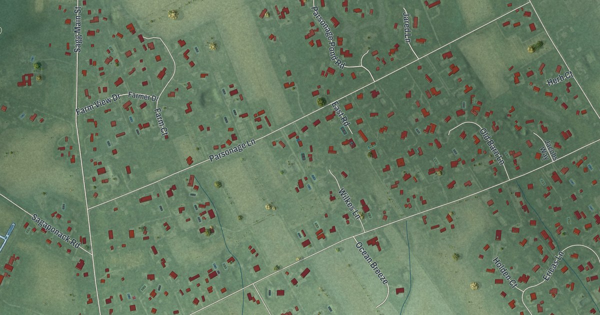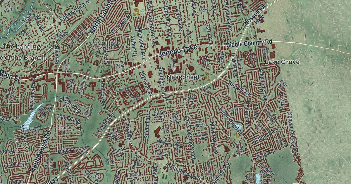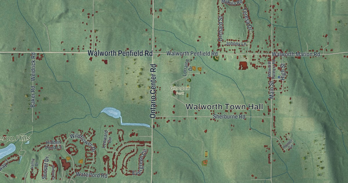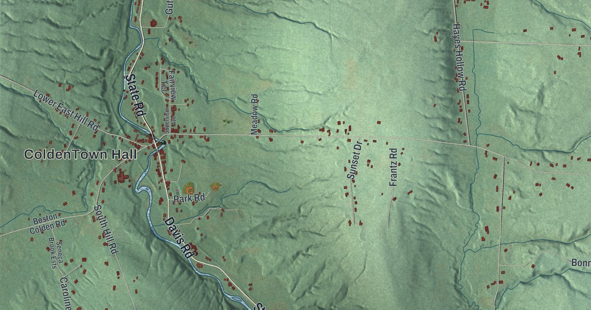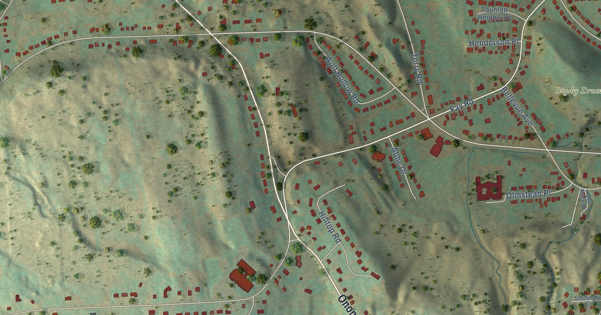
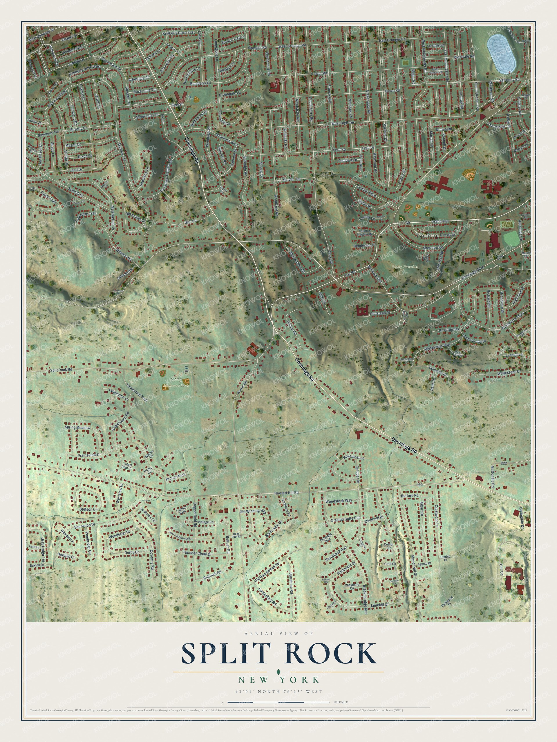
This beautifully detailed map of Split Rock, New York was created in 2026 using aerial imagery combined with modern topographical, census, street and landmark data. It’s a one-of-a-kind view of Split Rock that combines accurate data with a vintage aesthetic. The map shows every building in its true location, many of the roads carry their names, and the shaded topographic relief shows the shape of the land.
Explore an aerial view of Split Rock, New York
On the map you’ll find Bigsby Drumlin, King Memorial Park, and Taunton, along with Onondaga Road, Fay Road, Parsons Drive, Split Rock Road, Grand Avenue, Chapel Drive, Beverly Drive, Onondaga Boulevard, Howlett Hill Road, and more. If you look closely you can even find your house accurately drawn in its correct location. Zoom in on the preview to look for yours.
Did You Know?
From Internet Archive: "William Royce settled upon this road, on the western slope of the Split Rock mountains."
Split Rock is a community in Onondaga County.
Take a closer look at the Split Rock map
Names on this map
These names are printed on this map.
Places: Bigsby Drumlin, King Memorial Park and Taunton.
Streets and roads: Onondaga Road, Fay Road, Parsons Drive, Split Rock Road, Grand Avenue, Chapel Drive, Beverly Drive, Onondaga Boulevard, Howlett Hill Road, West High Terrace, Harris Road, Skyview Terrace.
More street names, A to Z
Abbe Drive, Albart Drive, Alexander Drive, Arbordale Place, Arbordale Road, Barford Road, Bellevue Avenue, Blueberry Lane, Breakspear Road, Breckenridge Run, Brentwood Drive, Broadview Drive, Bronco Path, Bronson Road, Bullrush Road, Bulrush Road, Burrstone Road, Buxton Drive, Calumet Drive, Canfield Drive, Canterbury Road, Carrigan Circle, Caulfield Drive, Cherry Road, Chester Road, Cheyenne Circle, Chickasaw Circle, Chippewa Circle, Clover Road, Collegiate Drive, Collier Circle, Colorado Run, Copperfield Road, Corliss Road, Coventry Road, Crabapple Lane, Crested Butte Run, Crestwood Lane, Croft Circle, Cutler Drive, Del Rose Place, Deon Drive, Derby Drive, Dewberry Lane, Diane Terrace, Dixon Drive, Dolomite Drive, Donaldson Drive, Dover Circle, East Clover Road, East Granger Road, East Manchester Road, Edgewood Road, Elmtree Lane, Fairwood Drive, Fara Drive, Farnham Road, Ferndale Drive, Fern Drive, Fern Road, Foothill Path, Forest Edge Drive, Glenview Parkway, Glide Path Road, Glinden Lane, Granger Road, Gray Ledge Terrace, Grove Road, Gulf Road, Harriet Street, Haywood Road, Heffield Circle, Helmi Drive, Henderson Place, Highridge Drive, Hillbrook Road, Hillcrest Road, Hilltop Road, Hollowcrest Road, Horace Drive, Huckleberry Lane, Inwood Drive, Ivy Lane, Jane Drive, Jarrett Drive, Juniper Lane, Kent Place, Kimberly Drive East, Kimberly Drive West, Knapp Road, Knolltop Terrace, Langhorne Lane, Lathrop Road, Limehill Drive, Limestone Lane, Locust Lane, Lormik Lane, Ludden Parkway, Lynmar Lane, Lynnbrook Circle, Mancini Circle, Manor Hill Drive, Maple Road, Marian Drive, Marly Drive, Mason Drive, McDonald Road, Meadow Road, Merrill Road, Merriwether Drive, Morgan Road, Newcastle Road, Norma Road, Northfield Road, November Lane, Occ Drive, October Drive, Old Homestead Road, Old Semet Lane, Old Winding Way, Olmstead Place, Ormsby Drive, Ottman Road, Ottoman Road, Paikin Drive, Parkwood Drive, Peluso Drive, Pembridge Circle, Peridot Drive, Prairieview Drive, Preston Circle, Pueblo Drive, Pumpkin Lane, Razorback Run, Richard Road, Robertson Terrace, Rockwood Road, Rodeo Circle, Ronnell Drive, Rosebud Drive, Rose Lane Terrace, Rosita Street, Rushmore Drive, Rutledge Road, Saint John Drive, Salisbury Road, Semloh Drive, Shady Lane, Sheraton Road, Sherwood Drive, Shrineview Drive, Silverlace Terrace, Simmons Terrace, South Orchard Road, South Terry Road, Spring Meadow, Spruce Tree Lane, Stagecoach Road, Stetson Circle, Steven Terrace, Stockton Place, Stoney Drive, Stonington Circle, Sutton Drive, Tarheel Run, Taunton Heights Drive, Tenderfoot Trail, Terrace Drive, Terry Road, Terrytown Heights Drive, Thunder Cloud Drive, Topaz Trail, Totem Pole Circle, Treeland Circle, Turquoise Trail, Vintage Road, Wagon Lane, Wagon Trails End, Walberta Road, West Genesee Street, West Granger Road, Westholm Boulevard, West Langerwood Lane, West Manchester Road, Westmont Road, Westvale Road, Westview Drive, Whedon Road, Whitestone Drive, Whitney Road, Wickson Road, Wilderness Way, Windemere Road, Winkworth Parkway, Wolf Hollow Road, Woodbriar Drive, Woodland Road, Woodstock Way, Wynnfield Drive.
See it on a wall
The Split Rock map as a framed print. Swipe for more.


This beautifully detailed map of Split Rock makes an attractive addition to your office, library, or den, and it can even be used to teach children the geography and history of the area. It also makes a great gift for anyone who grew up in Split Rock or moved away. When you’re done exploring, click here to get your copy of the Split Rock map.