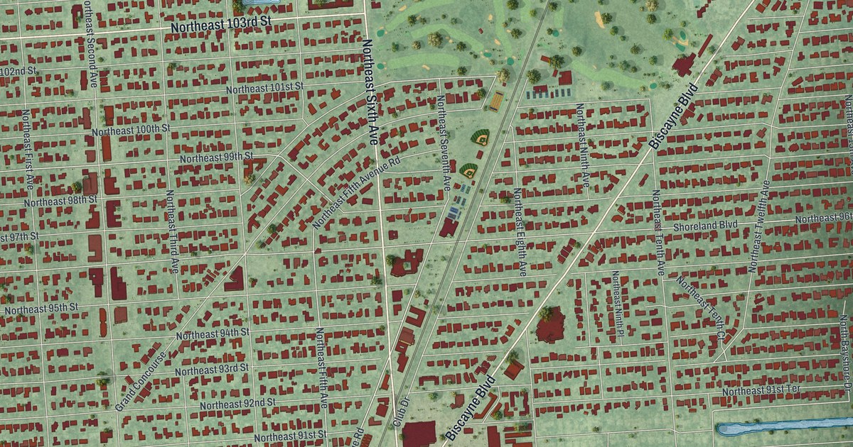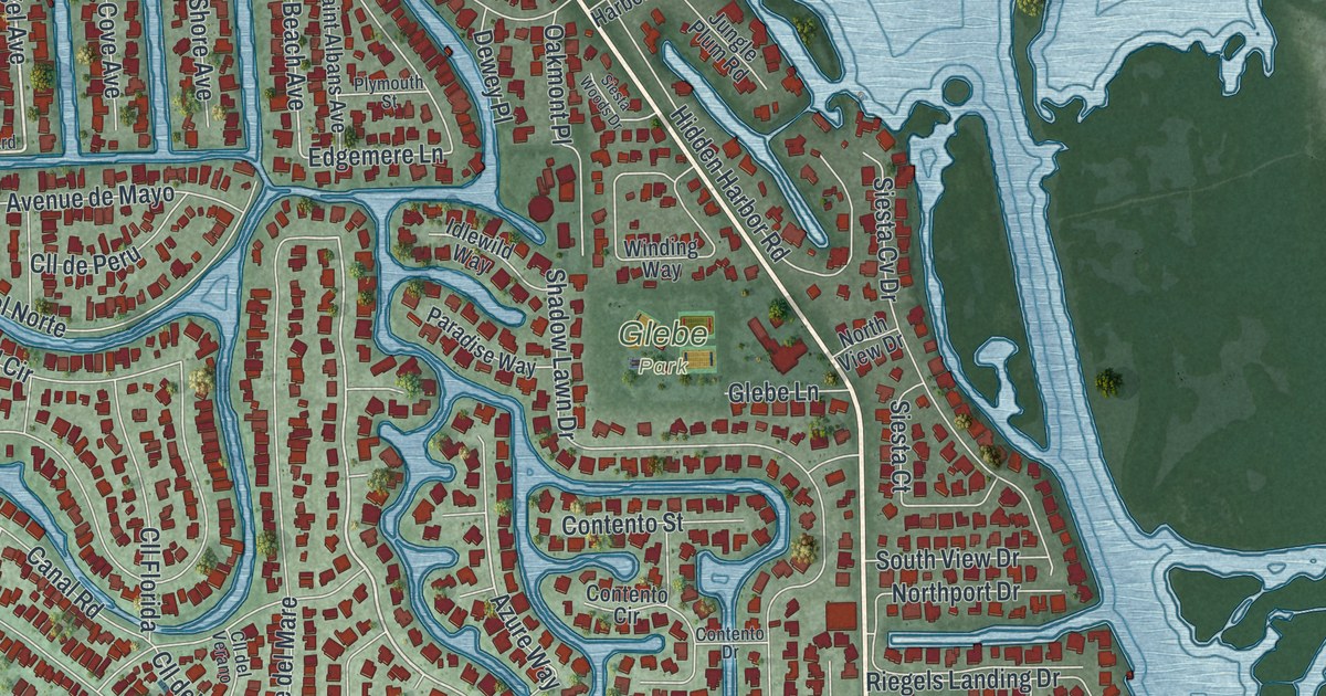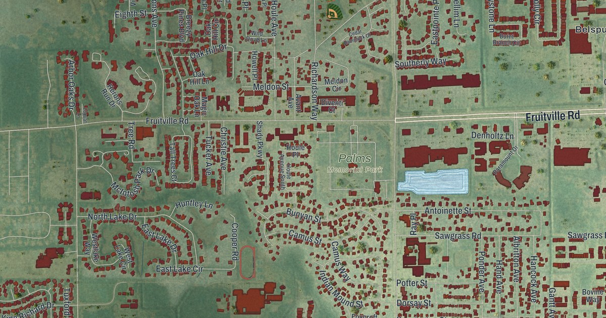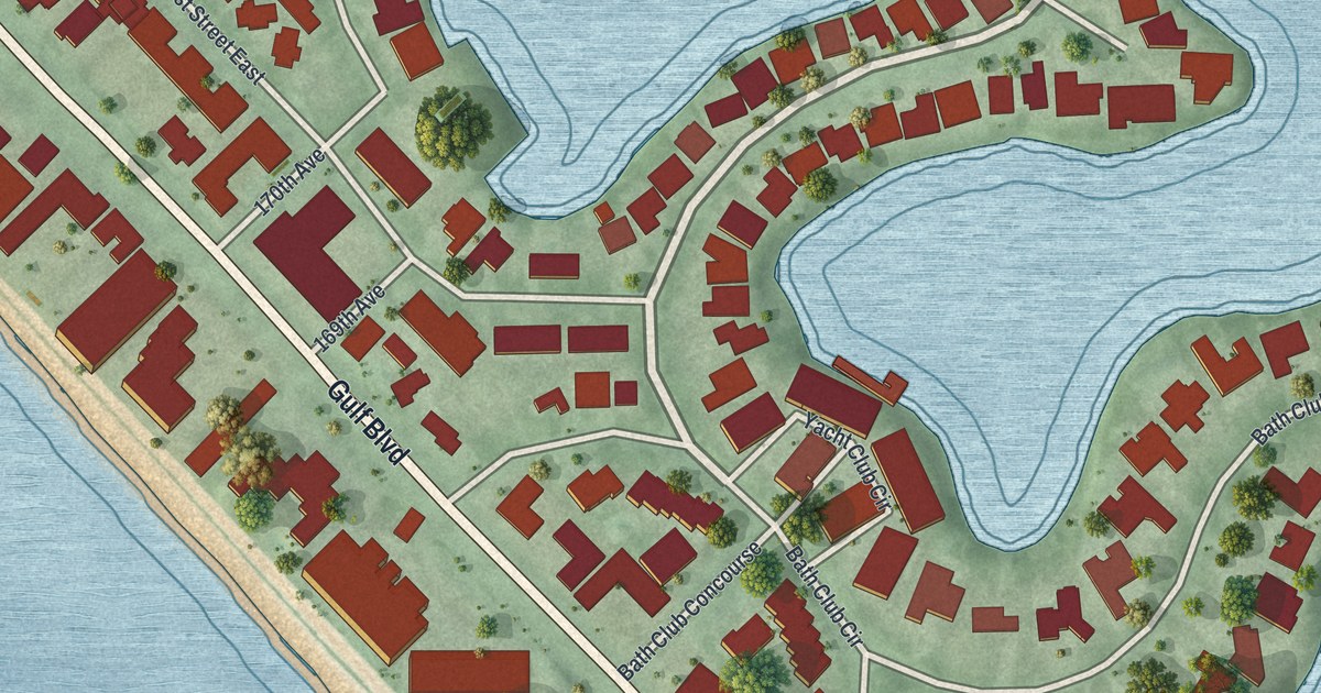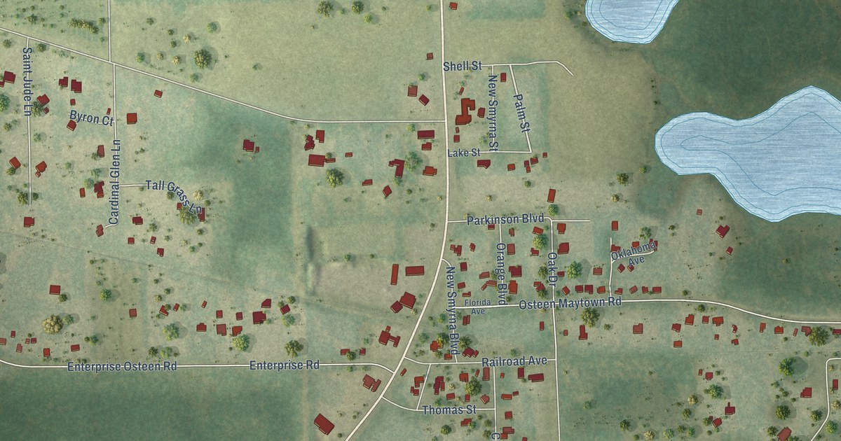
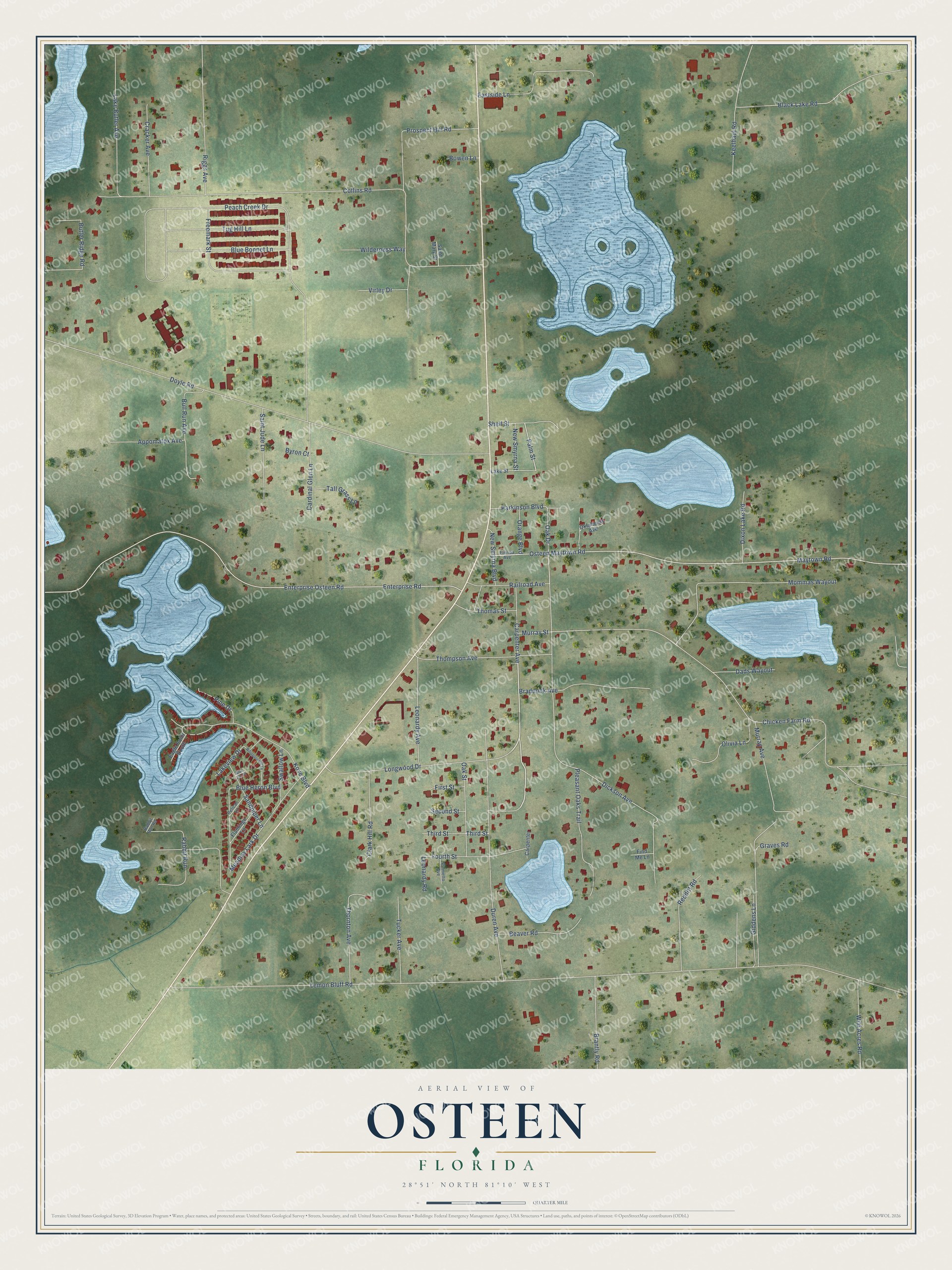
This beautifully detailed map of Osteen, Florida was created in 2026 using aerial imagery combined with modern topographical, census, street and landmark data. It’s a one-of-a-kind view of Osteen that combines accurate data with a vintage aesthetic. The map shows every building in its true location, many of the roads carry their names, and the shaded topographic relief shows the shape of the land.
Explore an aerial view of Osteen, Florida
On the map you’ll find Carpenter Avenue, Palm Street, Lemon Bluff Road, Peach Creek Drive, Doyle Road, Enterprise Osteen Road, Enterprise Road, Collins Road, Maytown Road, Osteen Maytown Road, Murray Avenue, Dickson Avenue, and more. If you look closely you can even find your house accurately drawn in its correct location. Zoom in on the preview to look for yours.
Did You Know?
From Internet Archive: "Carter & Wood, genl store Hudson R, genl store Long Leaf Yellow Pine Co, saw mill Osteen H L. grocer Peacock W H, genl store WOOD M E, Postmaster Young W C, drugs CHIPLEY Population 2,000."
Osteen is a community in Volusia County.
Take a closer look at the Osteen map
Names on this map
These names are printed on this map.
Streets and roads: Carpenter Avenue, Palm Street, Lemon Bluff Road, Peach Creek Drive, Doyle Road, Enterprise Osteen Road, Enterprise Road, Collins Road, Maytown Road, Osteen Maytown Road, Murray Avenue, Dickson Avenue.
More street names, A to Z
Appomatox Avenue, Beaver Road, Black Lake Road, Blue Bonnet Lane, Blue Heron Boulevard, Blue Jay Place, Bowen Lane, Braddock Avenue, Brantly Road, Bull Run Avenue, Butler Ridge Road, Byron Court, Cardinal Glen Lane, Carpenter, Chicken Farm Road, Clark Hill Road, Cracker Avenue, Dads Wayout, Dixon Lake Road, Duren Avenue, Eagle Point South, Eastside Lane, Find Me Lane, First Street, Flamingo Lane, Florida Avenue, Fourth Street, Freemark Street, Giddens Lane, Graves Road, Keelhaul Road, Kove Boulevard, Lake Butler Avenue, Lake Street, Lakeview Drive, Leonardy Avenue, Leonardy Road, Longwood Drive, Meadow Lark Drive, Mommas Wayout, Murray Street, New Smyrna Boulevard, New Smyrna Street, Oak Drive, Oak Street, Oklahoma Avenue, Olivia Lane, Orange Boulevard, Palmetto Avenue, Parkinson Boulevard, Pelican Lane, Pine Drive, Pleasant Oaks Trail, Prospect Hill Road, Rabbit Run, Rabbit Run Road, Railroad Avenue, Redditt Road, Riggs Avenue, Saint Jude Lane, Saint Mary Street, Sandpiper Lane, Second Street, Shell Street, Swallow Lane, Tall Grass Lane, Third Street, Thomas Street, Thompson Avenue, Thornton Avenue, Tucker Avenue, Tug Hill Lane, Virley Drive, Whippoorwill Lane, Wild Acres Road, Wilderness Way.
See it on a wall
The Osteen map as a framed print. Swipe for more.


This beautifully detailed map of Osteen makes an attractive addition to your office, library, or den, and it can even be used to teach children the geography and history of the area. It also makes a great gift for someone who left Osteen and still calls it home. When you’re done exploring, click here to get your copy of the Osteen map.