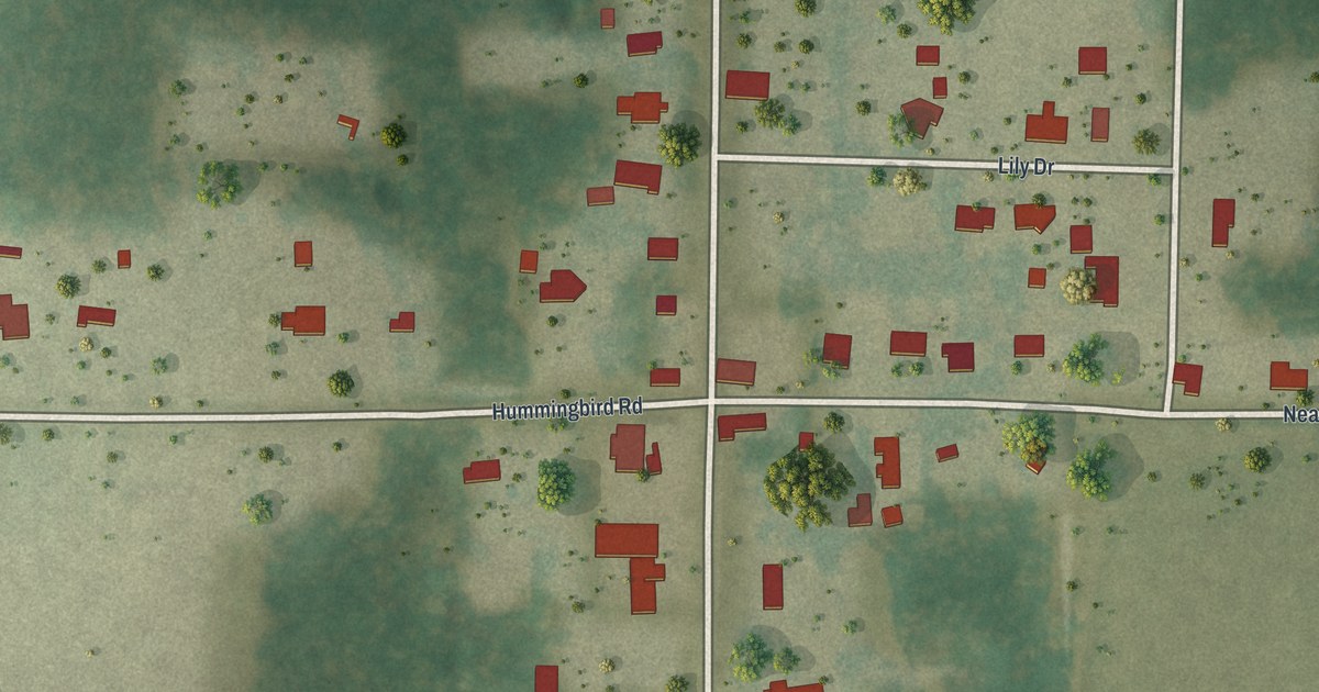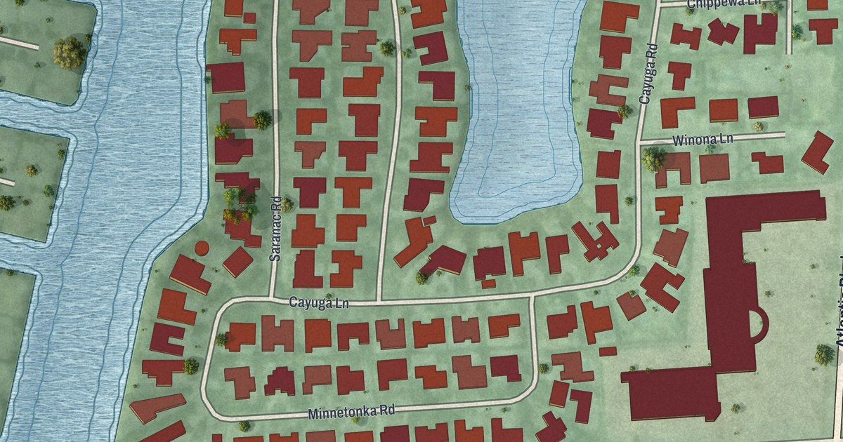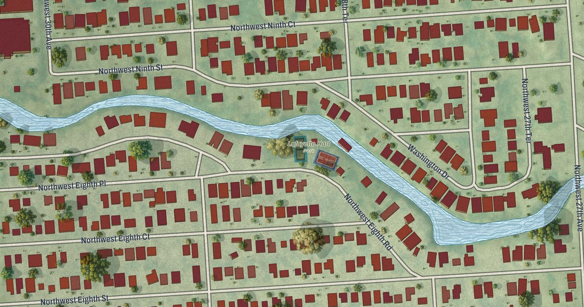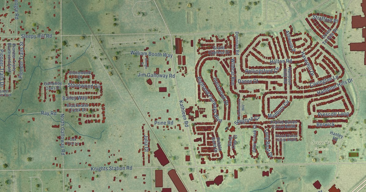
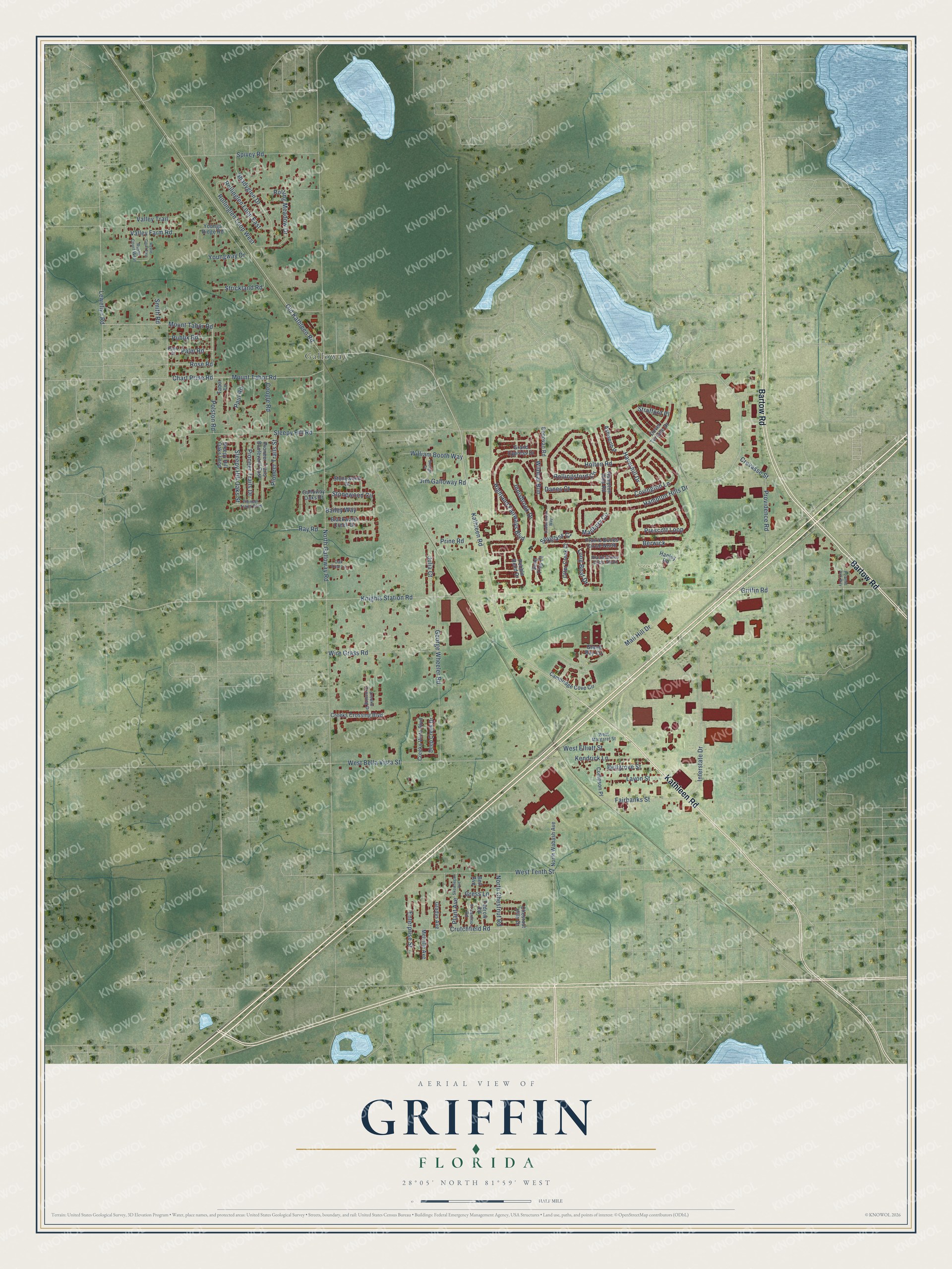
This beautifully detailed map of Griffin, Florida was created in 2026 using aerial imagery combined with modern topographical, census, street and landmark data. It’s a one-of-a-kind view of Griffin that combines accurate data with a vintage aesthetic. The map shows every building in its true location, many of the roads carry their names, and the shaded topographic relief shows the shape of the land.
Explore an aerial view of Griffin, Florida
On the map you’ll find Serenity Gardens and Galloway, along with Bartow Road, Kathleen Road, Hampton Hills Drive, Fairbanks Street, Chart Prine Road, Sleepy Hill Road, Mall Hill Drive, West Bella Vista Street, Griffin Road, Interstate Drive, and more. If you look closely you can even find your house accurately drawn in its correct location. Zoom in on the preview to look for yours.
Did You Know?
From Internet Archive: "The irel to be given by the Woman's Club will be on Tuesday, March 9, at the Methodist church. erybody be sure.to come and enjoy ibe fom, Those of the high school girls who will take part are Cleo Griffin and Dorothy and Betty Burford."
Griffin is a community in Polk County.
Take a closer look at the Griffin map
Names on this map
These names are printed on this map.
Places: Serenity Gardens and Galloway.
Streets and roads: Bartow Road, Kathleen Road, Hampton Hills Drive, Fairbanks Street, Chart Prine Road, Sleepy Hill Road, Mall Hill Drive, West Bella Vista Street, Griffin Road, Interstate Drive, North Galloway Road, Highland Fairways Boulevard.
More street names, A to Z
Ashworth Place, Bailey Way, Bell Avenue, Bellgrove Street, Berwick, Blackwater Creek Drive, Brengle Drive, Cambridge Cove Circle, Chestnut Hills Drive, Compson Place, Coogle Road, Covington Lane, Creeks Crossing Boulevard, Creeks Crossing Drive, Creeks Vista Boulevard, Crevasse Street, Crutchfield Road, Danes Court, Deep Creek Drive, Donovan Road, Dover Terrace Drive, El Camino Road, Enterprise Street, Galloway Oaks Drive, George Wheeler Road, Gladys Avenue, Grand Bay Circle, Grand Cypress Drive, Gress Lane, Hampton Hills Road, Hanley Road, Haverhill Drive, Holton Road, Innisbrook Drive, Jim Galloway Road, Julia Court, Kendrick Lane, Knights Station Road, Lavon Street, Lewellyn Road, Long Boat Drive, Madbury Circle, Melville Avenue, Mount Tabor Road, North Chestnut Road, North Wabash Avenue, Oak Tree Lane, Old Kathleen Road, Otter Creek Court, Palm Road, Palm Street, Paul Road, Pebble Bend Drive, Pioneer Trails Boulevard, Pioneer Trails Boulevard East, Pioneer Trails Drive, Pioneer Trails Street, Plant Avenue, Polston Road, Prairie Dunes Circle North, Prairie Dunes Circle South, Prescott Loop, Prine Road, Providence Road, Publix Road, Pyramid Park Way, Ray Road, Rollinglen Loop East, Rollinglen Loop West, Rolling Meadow Drive, Rollingsford Circle, Rose Road, Rustic Court East, Rustic Court West, Saddlebrook Way, Sand Trap Court, Shadyglen Drive, Skowhegan Avenue, Sleepy Hill Oaks Loop, Sleepy Hill Oaks Street, Smith Road, Spivey Road, Spyglass Court, Stonewood Circle, Stonewood Drive, Strafford Place, Strickland Road, Tabor Lane, Tedrow Road, Valley Farm Road, Valley Trail, West Elliott Street, West Margaret Street, West Tenth Street, Wildcat Run, William Booth Way, Wire Grass Road, Youngs Ridge Road, Youngway Drive.
See it on a wall
The Griffin map as a framed print. Swipe for more.


This beautifully detailed map of Griffin makes an attractive addition to your office, library, or den, and it can even be used to teach children the geography and history of the area. It also makes a great gift for anyone who grew up in Griffin or moved away. When you’re done exploring, click here to get your copy of the Griffin map.