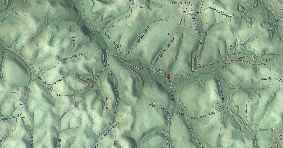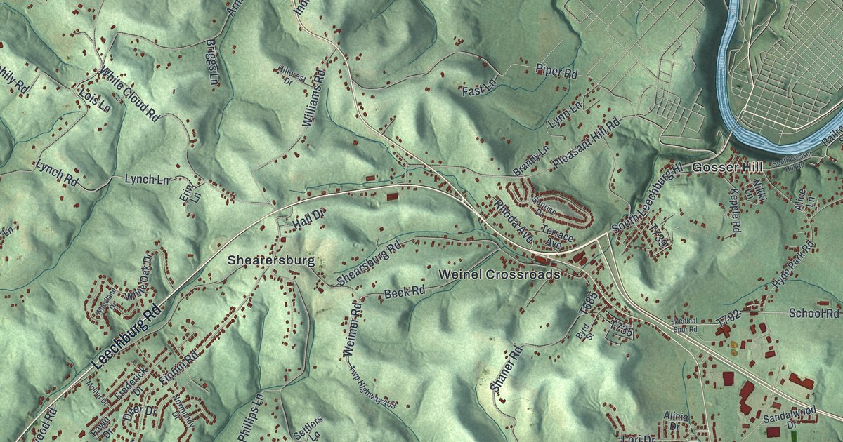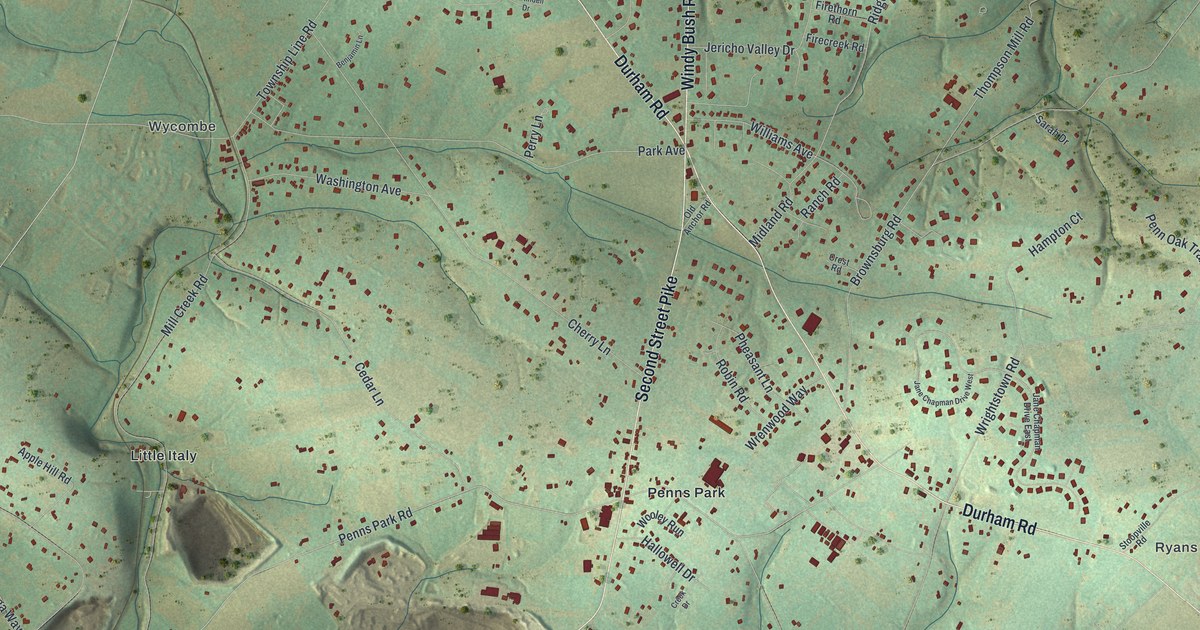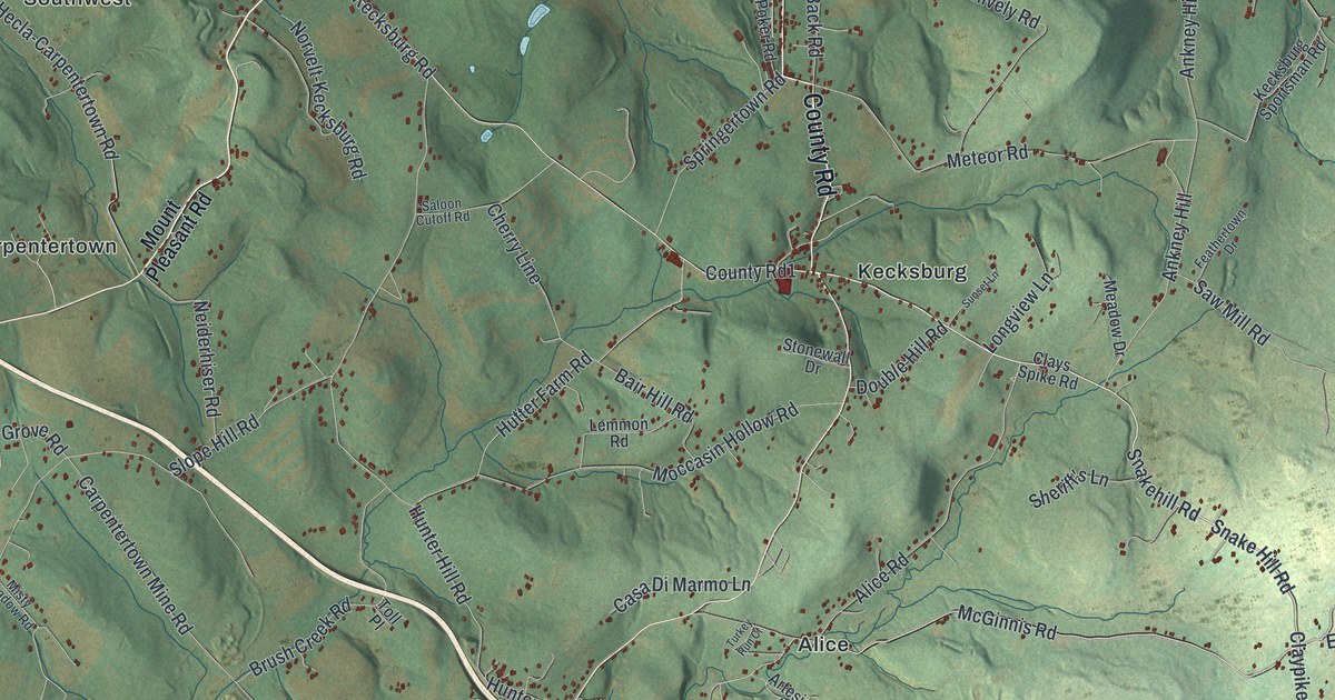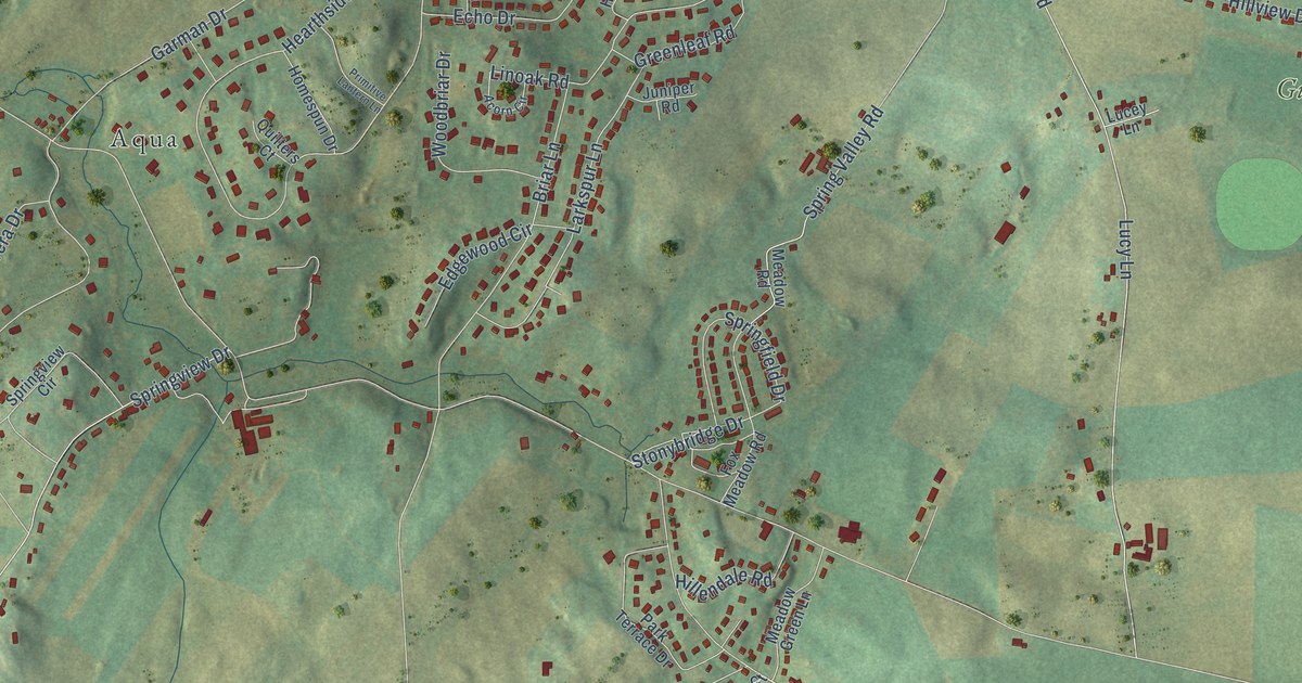
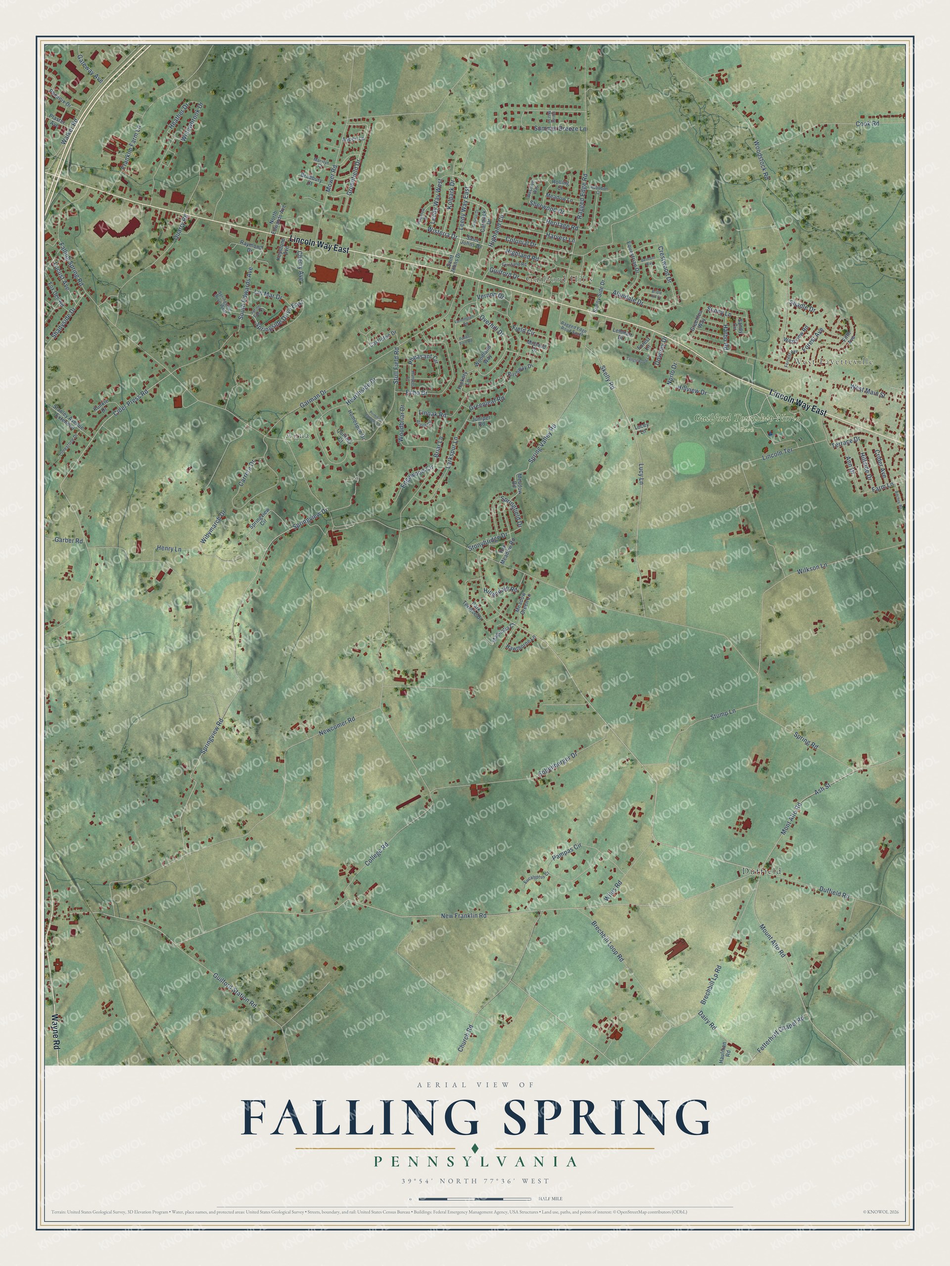
This beautifully detailed map of Falling Spring, Pennsylvania was created in 2026 using aerial imagery combined with modern topographical, census, street and landmark data. It’s a one-of-a-kind view of Falling Spring that combines accurate data with a vintage aesthetic. The map shows every building in its true location, many of the roads carry their names, and the shaded topographic relief shows the shape of the land.
Explore an aerial view of Falling Spring, Pennsylvania
On the map you’ll find West Fayetteville, Guilford Hills, Guilford Township Norlo Park, Duffield, and Aqua, along with Lincoln Way East, Wayne Road, Falling Spring Road, Wisteria Drive, Leedy Way East, Greenfield Drive, Overhill Drive, and more. If you look closely you can even find your house accurately drawn in its correct location. Zoom in on the preview to look for yours.
Did You Know?
From Internet Archive: "The settlement was known by the name of Falling Spring until 1764. when the town of Chambersburg was laid out and named after the proprietor."
Falling Spring is a community in Franklin County.
Take a closer look at the Falling Spring map
Names on this map
These names are printed on this map.
Places: West Fayetteville, Guilford Hills, Guilford Township Norlo Park, Duffield and Aqua.
Streets and roads: Lincoln Way East, Wayne Road, Falling Spring Road, Wisteria Drive, Leedy Way East, Greenfield Drive, Overhill Drive, Heritage Road, New Franklin Road, Newcomer Road, Spring Road, Ash Street.
More street names, A to Z
Acorn Circle, Alandale Drive, Ann Drive, Arbutus Drive, Aspen Lane, Audubon Court, Belmont Way, Birchway Drive, Bradbury Court, Brechbill Loop Road, Brechbill Lp Road, Briar Lane, Bridle Hill Court, Carmack Drive, Carrera Drive, Castleton Drive, Cherry Avenue, Church Road, Cider Press Road, College Road, Colonial Drive, Cook Road, Crestwood Drive, Crider Avenue, Dairy Road, Downey Drive, Duffield Road, Echo Drive, Edgewood Circle, Equestrian Drive, Eucalyptus Court, Farmington Road, Farm Lane, Fersfield Road, Fetterhoff Chapel Road, Field Circle, Fifth Avenue, Forest Avenue, Forest Lane, Forrest Avenue, Fox Den Road, Fox Meadow Road, Franklin Farm Lane, Garber Road, Garman Drive, Gateway Avenue, Greenleaf Road, Greenlea Way, Guilford Drive, Guilford Station Road, Harbo Road, Harvest Lane, Haulman Road, Hawthorne Lane, Hearthside Drive, Heather Drive, Hedgerow Drive, Henry Lane, Hickory Lane, Highland Circle, Highland Road, Hillendale Road, Hillside Drive, Hillview Drive, Homespun Drive, Hunters Lane, Juniper Road, Keystone Avenue, Kolpark Drive, Kunkle Drive, Larkspur Lane, Leedy Way West, Lehman Drive, Limestone Drive, Lincoln Terrace, Lin Mar Drive, Linoak Road, Locust Avenue, Lucey Lane, Lucy Lane, Magnolia Court, Marylyn Court, Meadow Green Lane, Meadow Lane, Meadow Road, Midland Drive, Mont Alto Road, Mount Alto Road, Mower Road, Norlo Drive, North Edwards Avenue, Pampas Circle, Park Terrace Drive, Pheasant Circle, Phoenix Drive, Plaster Avenue, Ponds Turn Road, Primitive Lantern Lane, Quarry Road, Quilters Court, Ragged Edge Road, Ragged Edge Road South, Raymond Drive, Ritchey Road, Rolling Court, Saint Johns Drive, Sandy Circle, Shadle Drive, Shadyside Drive, Sherwood Drive, Skelly Road, Sollenberger Drive, South Edwards Avenue, Springfield Drive, Spring Mist Lane, Spring Side Court, Springside Drive East, Springside Drive West, Spring Valley Road, Springview Circle, Springview Drive, Springview Road, Stanley Avenue Extended, Stonybridge Drive, Stull Field Road, Stump Lane, Summer Breeze Lane, Sunny Lane, Sunny Side Drive, Tanglewood Lane, Terrace Drive, Vernon Drive, Walker Road, West Main Street, Westover Way, Westview Road, Wibymarch Drive, Wiles Road, Wilkson Lane, Willowbrook Drive, Woodbriar Drive, Woodland Way, Woodstock Road.
See it on a wall
The Falling Spring map as a framed print. Swipe for more.


This beautifully detailed map of Falling Spring makes an attractive addition to your office, library, or den, and it can even be used to teach children the geography and history of the area. It also makes a great gift for someone who left Falling Spring and still calls it home. When you’re done exploring, click here to get your copy of the Falling Spring map.