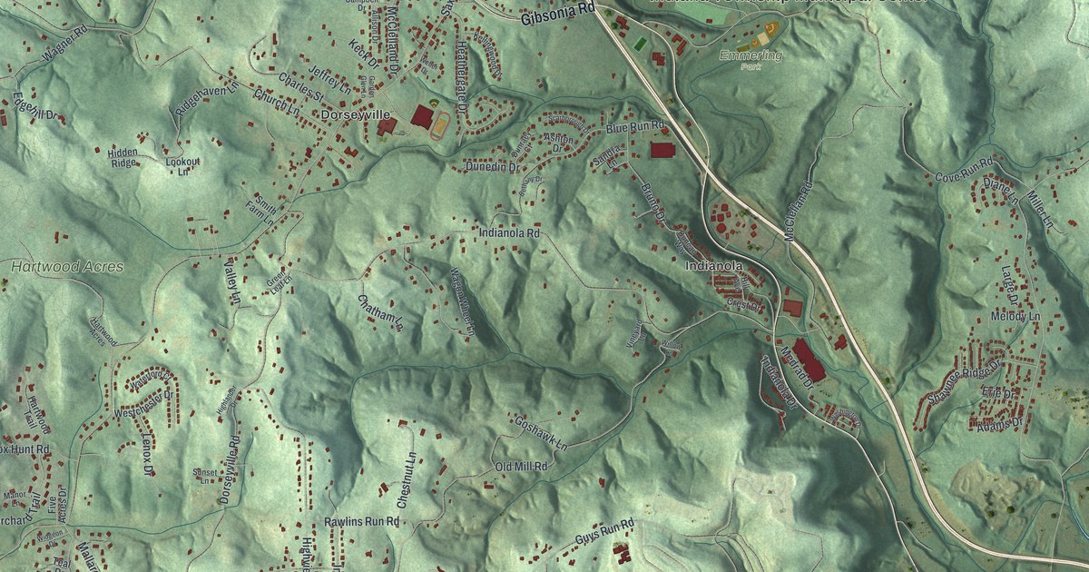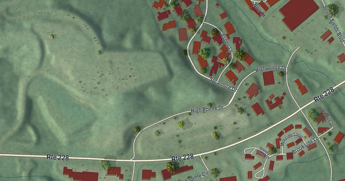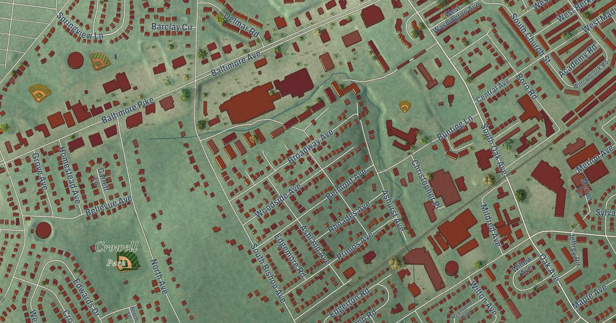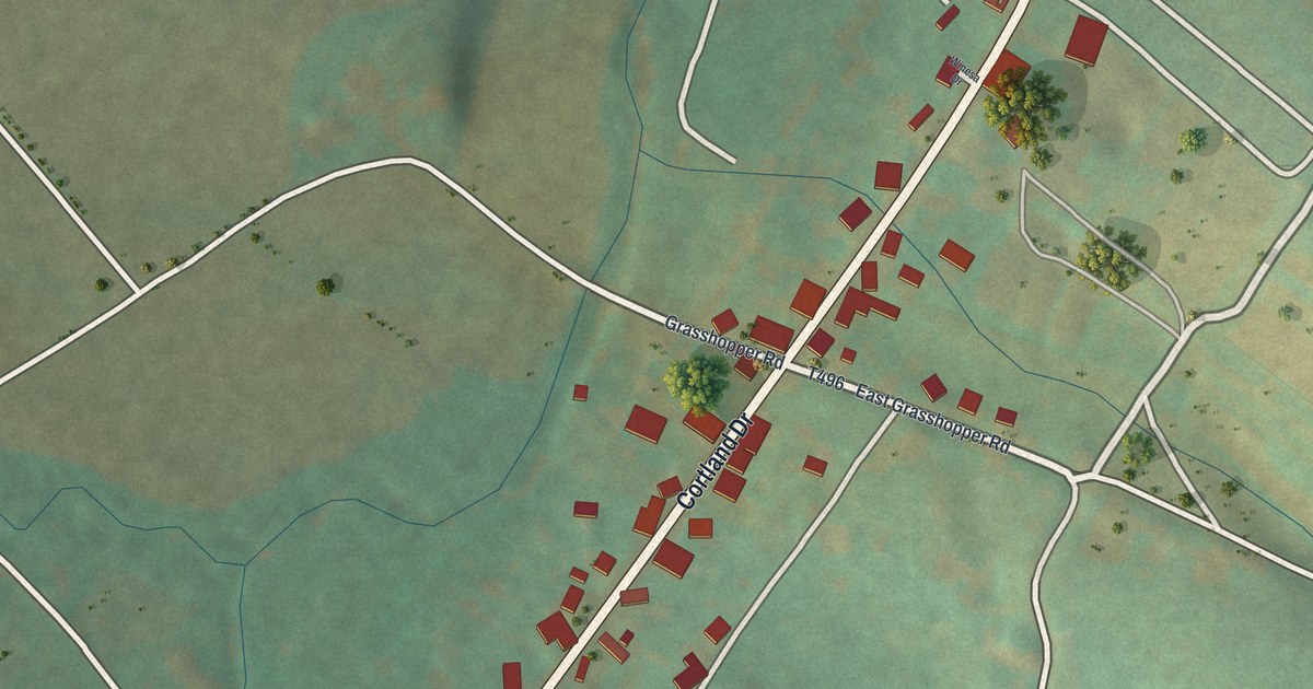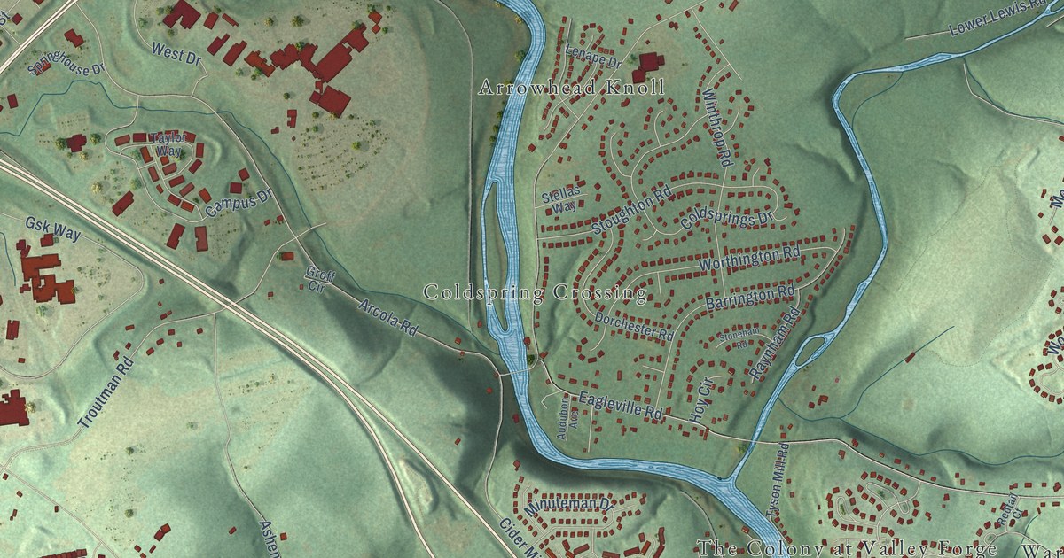
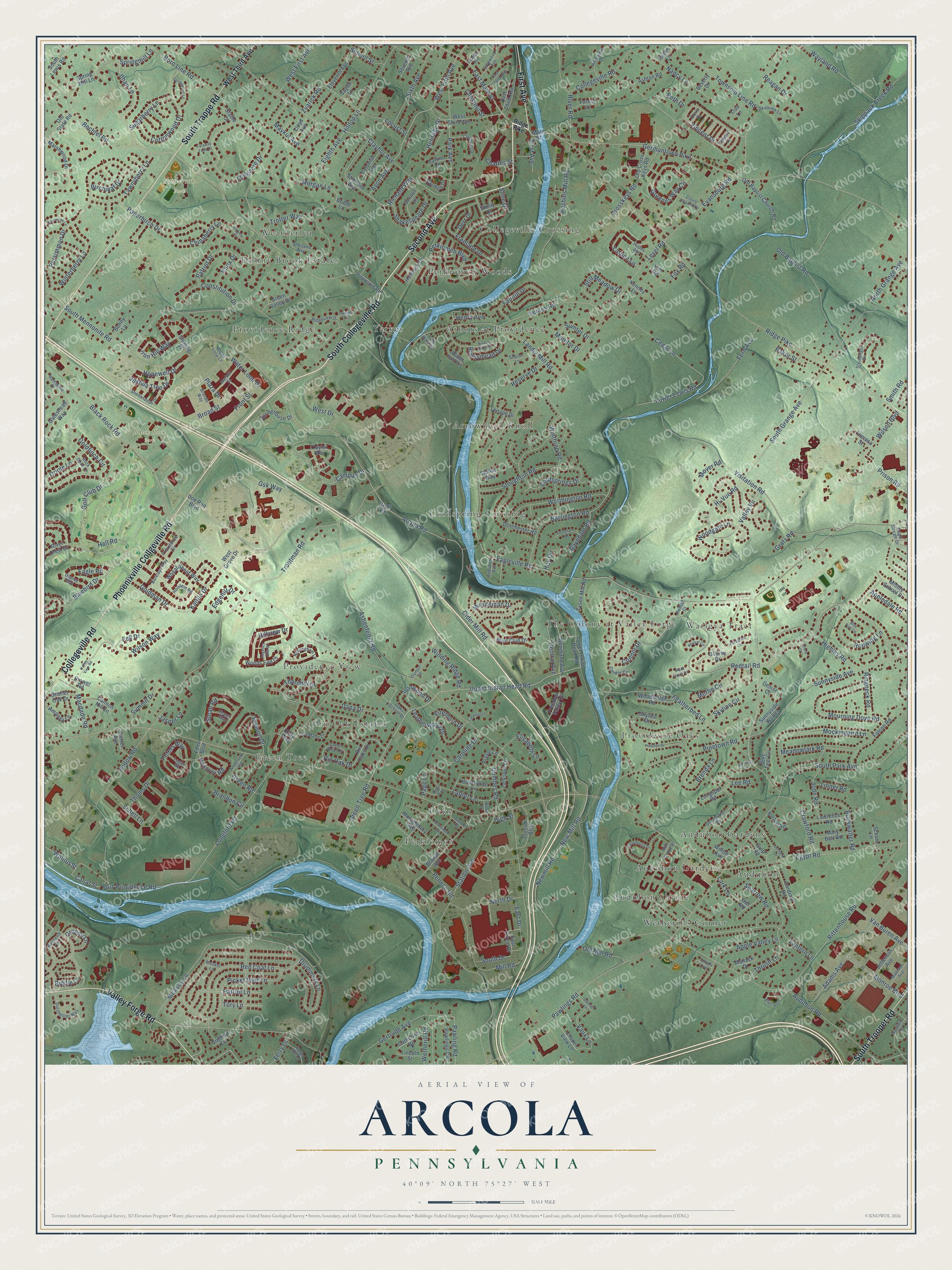
This beautifully detailed map of Arcola, Pennsylvania was created in 2026 using aerial imagery combined with modern topographical, census, street and landmark data. It’s a one-of-a-kind view of Arcola that combines accurate data with a vintage aesthetic. The map shows every building in its true location, many of the roads carry their names, and the shaded topographic relief shows the shape of the land.
Explore an aerial view of Arcola, Pennsylvania
On the map you’ll find Anderson Park, Black Rock Park, Warlgya Tract, Perkiomen, Audubon Gardens, Collegeville Crossing, Arrowhead Knoll, Providence View, The Colony at Valley Forge, Wetherills Corner, Donny Brook Estates, Coldspring Crossing, and more. If you look closely you can even find your house accurately drawn in its correct location. Zoom in on the preview to look for yours.
Did You Know?
From Internet Archive: "The opening of the Perkiomen Railroad is responsible for establishing three new villages inthe township, viz.: Oaks, Arcola and Yerkes."
Arcola is a community in Montgomery County.
Take a closer look at the Arcola map
Names on this map
These names are printed on this map.
Places: Anderson Park, Black Rock Park, Warlgya Tract, Perkiomen, Audubon Gardens, Collegeville Crossing, Arrowhead Knoll, Providence View, The Colony at Valley Forge, Wetherills Corner, Donny Brook Estates, Coldspring Crossing, Green Tree, Providence Ridge, Arbors at Providence, Providence Oaks, Audobon Gardens, Pin Oak Estates, Yerkes, Perkiomen Woods, Weatherlea, Audubon, Audubon Shrine and Oaks.
Streets and roads: South Collegeville Road, Second Avenue, Phoenixville Collgeville Road, South Trappe Road, Valley Forge Road, Collegeville Road, South Trooper Road, First Avenue, Hall Road, Bluebird Drive, Bechtel Road, Ithan Lane.
More street names, A to Z
Adams Avenue, Amanda Lane, Anderson Road, Appledale Road, Apple Valley Lane, Arcola Road, Argyle Lane, Ashenfelter Road, Ashton Road, Audubon Avenue, Audubon Road, Avon Avenue, Baker Street, Barklays Way, Barrington Road, Beth Drive, Beverly Drive, Biddle Lane, Birchleaf Drive, Black Hawk Circle, Black Rock Road, Blue Bird Circle, Blue Teel Circle, Bonny Lane, Boro Line Road, Borton Road, Brandon Circle, Brando Way, Brenda Lane, Bridle Lane, Broad Street, Brower Avenue, Brower Road, Bryce Way, Buckwalter Road, Bunting Circle, Camiel Lane, Campus Drive, Canal Street, Cannon Hill Lane, Cardinal Lane, Cardinal Road, Carmen Drive, Caroline Drive, Casselberry Drive, Catherine Road, Cedar Lane, Central Avenue, Chapel View Lane, Charles Street, Chestnut Street, Chinaberry Lane, Cider Mill Road, Clamer Avenue, Clayhor Avenue, Claymont Drive, Coldsprings Drive, Colonial Avenue, Condor Circle, Condor Drive, Constitution Drive, Cottonwood Drive, Crawford Road, Cressm Boulevard, Crosskeys Road, Culp Road, Dana Drive, Denise Court, Derr Drive, Doe Run Boulevard, Dorchester Road, Dorchester Way, Doris Drive, Drummers Lane, Eagle Road, Eagle Stream Drive, Eagleville Road, East Circle Drive, East Drive, East Fourth Avenue, East Main Street, East Third Avenue, Eden Boulevard, Edgehill Drive, Edward Lane, Egypt Road, Eighth Avenue, Eleventh Avenue, Elisabeth Lane, Elysia Lane, Evansburg Road, Fairhill Drive, Falcon Road, Faraway Farm Court, Featherbed Lane, Fell Drive, Fern Avenue, Ferry Lane, Fifth Ward Road, Firethorn Drive, Forest Lane, Forge Hill Lane, Fox Road, Freedom Valley Drive, Freeland Drive, Front Street, Gateshead Way, Germantown Pike, Gertrude Avenue, Glenwood Avenue, Goldfinch Circle, Goldman Drive, Golf Club Drive, Gratz Road, Green Briar Drive, Greene Lane, Greene Meadow Drive, Greenes Way Circle, Green Road, Green Tree Road, Green Valley Drive, Groff Circle, Gsk Way, Guilford Circle, Gumbes Road, Hanover Road, Hawthorne Lane, Hemlock Drive, Henry Avenue, Heritage Drive, Hi-Vue Road, Hickory Place, Highley Road, High Street, Hildebidle Drive, Hilltop Lane, Hillview Drive, Hodes Avenue, Hollow Road, Holstein Road, Hopewell Drive, Hopwood Road, Hoy Circle, Hudson Drive, Hunt Club Drive, Iron Hill Way, Ironwood Drive, Jasper Lane, Jefferson Avenue, Jode Road, Joshua Tree Drive, Kaitlin Drive, Kenney Lane, Kestral Circle, Kim Road, Knox Drive, Landis Mill Road, Lantern Lane, Larkin Lane, Lark Lane, Larkspur Lane, Lattice Lane, Laurel Lane, Lawrence Road, Leatherwood Drive, Lee Road, Lenape Drive, Level Road, Lincoln Street, Linnet Road, Lisa Lane, Lisa Marie Lane, Lloyd Avenue, Locust Street, Logan Road, Longacre Drive, Longford Road, Longspur Road, Lower Indian Head Road, Lower Lewis Road, Macdade Road, Madison Avenue, Main Street, Market Street, Marshwood Drive, Mary Bell Road, Matlack Drive, Maykut Avenue, McAvoy Lane, Meadowlark Road, Merlin Circle, Middle School Drive, Mill Grove Drive, Mill Road, Minuteman Drive, Mockingbird Lane, Monitor Drive, Monroe Boulevard, Montgomery Avenue, Morgan Lane, Mourning Dove Road, Moyer Road, Musket Lane, Nancy Lane, New Mill Road, Newmill Road, North Drive, North Grange Avenue, Nottingham Lane, Oakland Avenue, Oaks School Drive, Old Baptist Church Road, Old Baptist Road, Old Cross Keys Road, Old Mill Road, Old State Road, Olympic Road, Orchard Lane, Oriole Court, Oriole Lane, Osprey Drive, Osprey Way, Owl Road, Page Lane, Paperbirch Drive, Park Avenue, Patriot Drive, Patriot Lane, Pawling Road, Pawlings Circle, Pawlings Road, Pechins Mill Road, Pennco Road, Peregrine Circle, Perkiomen Avenue, Perkiomen Boulevard, Persimmon Drive, Peters Way, Picket Post Lane, Pinetown Road, Pinetree Drive, Pin Oak Drive, Pin Oaks Drive, Plaza Drive, Port Providence Road, Prison Road, Providence Circle, Ramsgate Drive, Raynham Road, Reagan Drive, Red Coat Lane, Redtail Court, Redtail Road, Redwing Lane, Regency Hills Drive, Reserve Drive, Richard Way, Ridge Pike, Ridgeview Drive, Ringneck Road, Rittenhouse Road, River Crest Drive, River Road, Rivers Edge Drive, Robin Lane, Rock Dove Lane, Runnymead Drive, Saylor Lane, Scarlet Oak Drive, Schara Lane, Schell Lane, School Street, Seventh Avenue, Shakespeare Drive, Sharon Lane, Shearwater Drive, Shelly Drive, Shenandoah Drive, Shetland Way, Sixth Avenue, Skippack Creek Road, Skipview Lane, Skyline Circle, Skyline Drive, Sloan Road, Smith Road, Sonnet Lane, Sourwood Lane, South Drive, South Grange Avenue, South Lewis Road, South Mennonite Road, South Park Avenue, Sparrow Road, Springhouse Drive, Springmill Lane, Spring Mill Lane, Springwood Lane, Stable Court, Station Avenue, Steinbright Drive, Stellas Way, Sterling Place, Still Meadow Drive, Stine Drive, Stoneham Road, Stoughton Road, Stratford Avenue, Sugarberry Lane, Summit Drive, Sumter Drive, Sunnyside Avenue, Sunnyside Woods, Sunset Avenue, Tawnyberry Lane, Taylor Way, Thayer Way, Theresa Street, Thoms Drive, Thornhill Drive, Thrush Lane, Timothy Trail, Tory Lane, Township Line Road, Trotter Way, Troutman Road, Twilight Circle, Tyson Mill Road, Unity Way, Upper Indian Head Road, Valley View Road, Valley Vu, Van Buren Avenue, Vaux Lane, Vincent Drive, Visitation Road, Walnut Street, Water Fall Circle, Water Loop Drive, Water Loop Lane, Wayfield Drive, Wayland Road, West Drive, West Fifth Avenue, West First Avenue, West Grove Drive, West Third Avenue, Wetherill Lane, Wetherill Road, Wheat Sheaf Way, Willow Avenue, Willow Drive, Wilson Boulevard, Wilson Way, Winding Ridge Road, Winterberry Lane, Winthrop Road, Woodgate Lane, Woodland Avenue, Woodsedge Road, Woods End Court, Worthington Road, Yerkes Road, Zvarick Road.
See it on a wall
The Arcola map as a framed print. Swipe for more.


This beautifully detailed map of Arcola makes an attractive addition to your office, library, or den, and it can even be used to teach children the geography and history of the area. It also makes a great gift for anyone who grew up in Arcola or moved away. When you’re done exploring, click here to get your copy of the Arcola map.