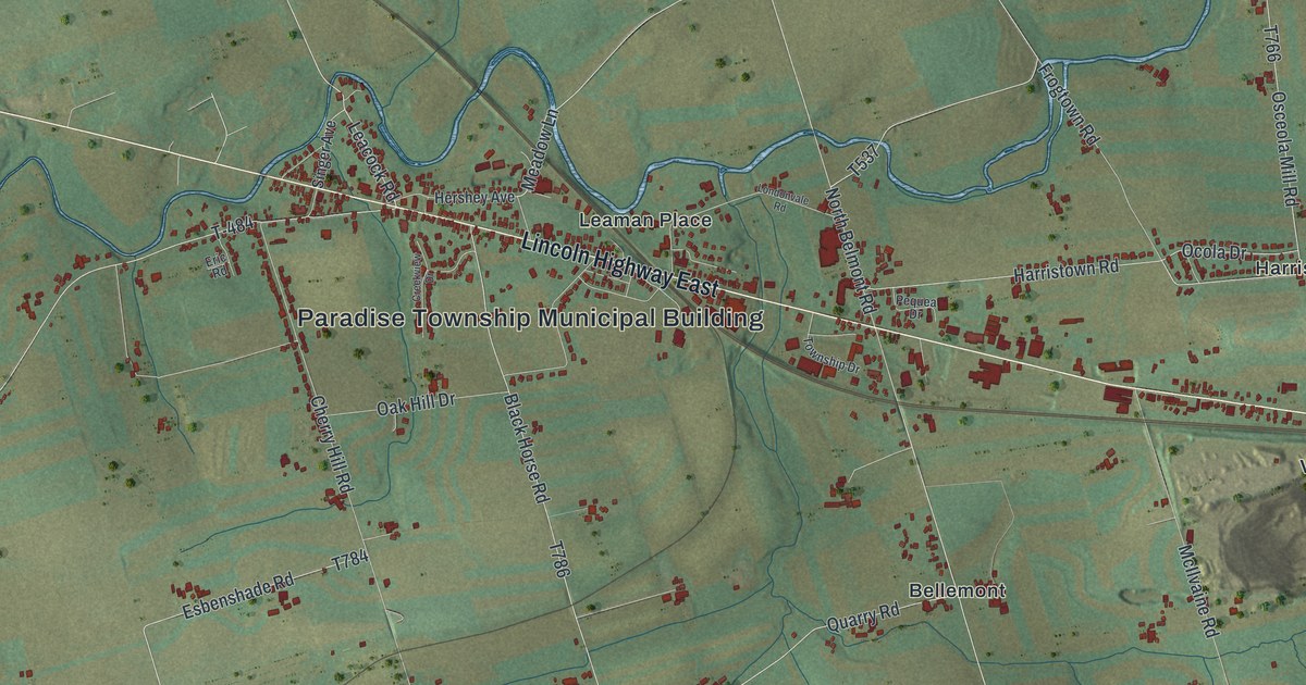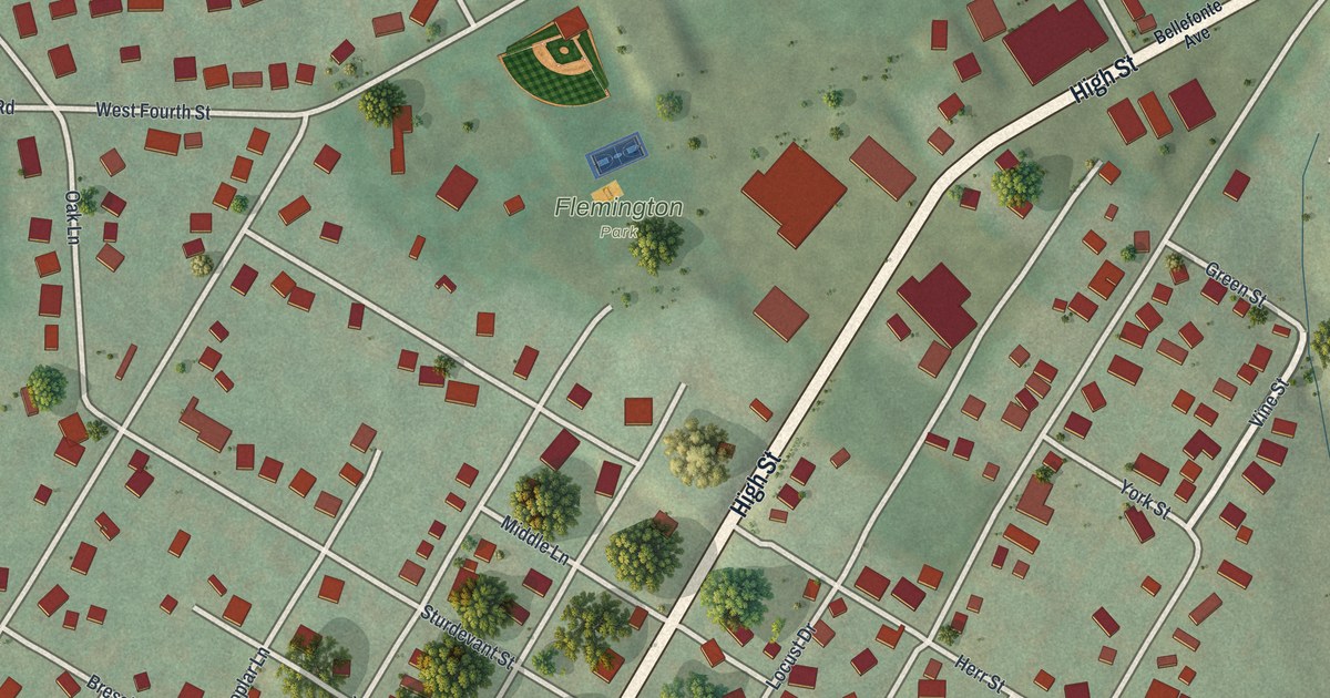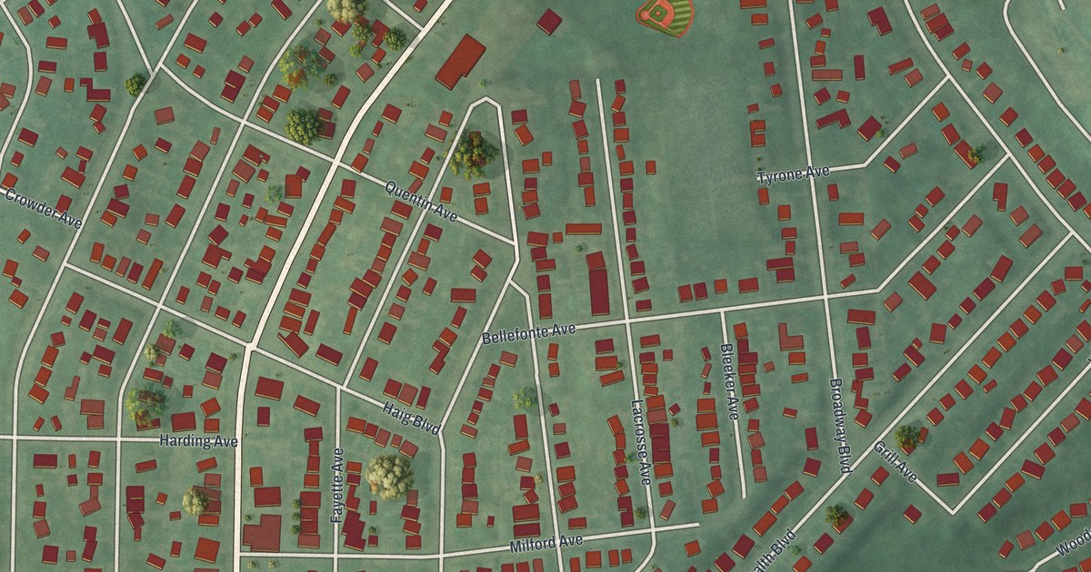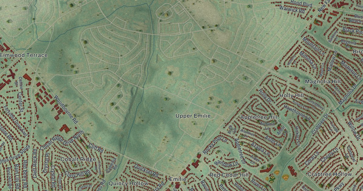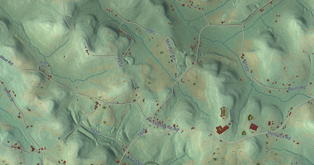
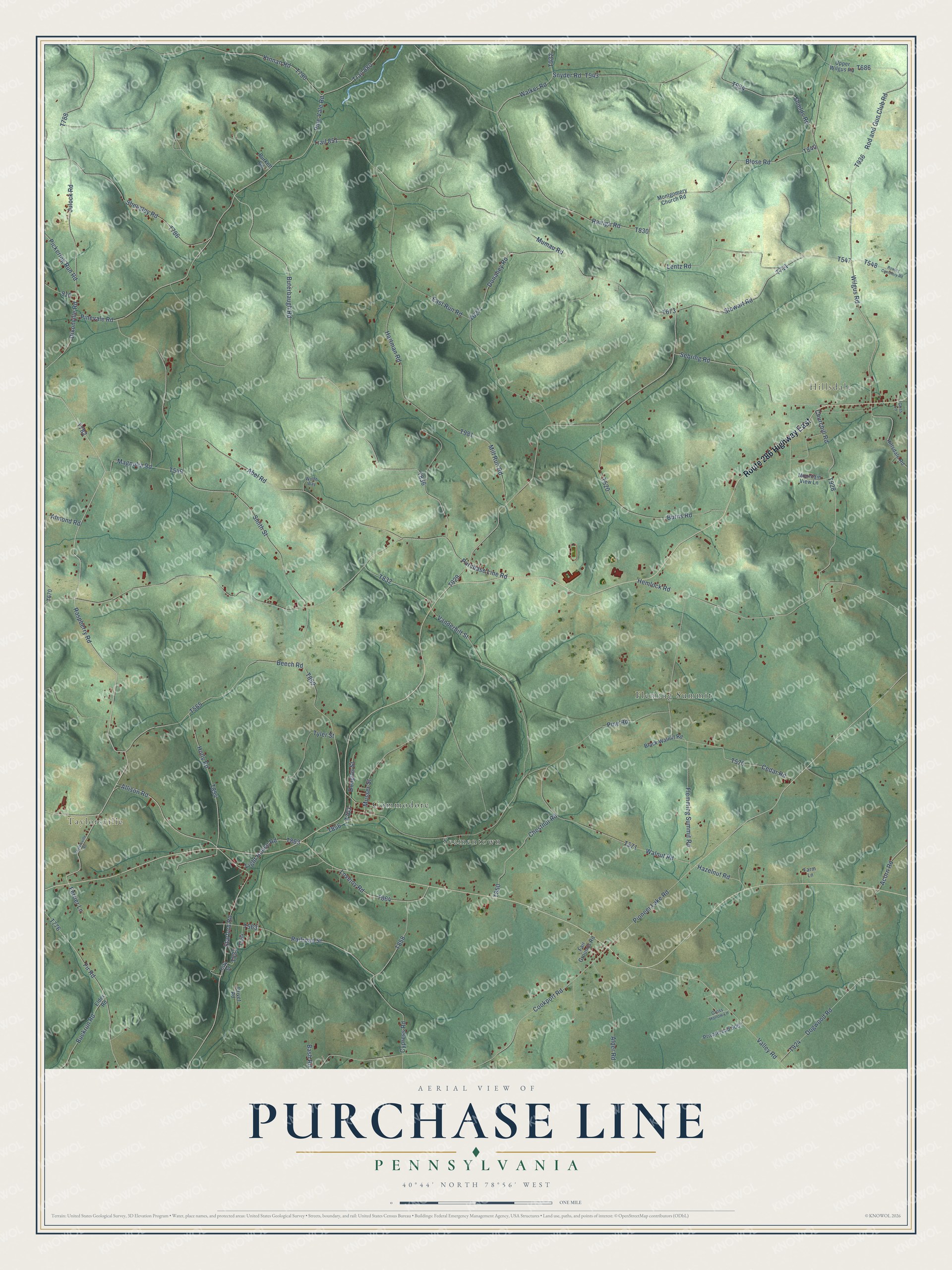
This beautifully detailed map of Purchase Line, Pennsylvania was created in 2026 using aerial imagery combined with modern topographical, census, street and landmark data. It’s a one-of-a-kind view of Purchase Line that combines accurate data with a vintage aesthetic. The map shows every building in its true location, many of the roads carry their names, and the shaded topographic relief shows the shape of the land.
Explore an aerial view of Purchase Line, Pennsylvania
On the map you’ll find Taylorsville, Hillsdale, Fleming Summit, Seamentown, and Commodore, along with Route 286 Highway East, Raspberry Road, Allison Road, Cookport Road, Buterbaugh Road, and more. If you look closely you can even find your house accurately drawn in its correct location. Zoom in on the preview to look for yours.
Did You Know?
From the 1913 history of Indiana County, Pennsylvania: "The first mill in this township and the second north of the Purchase Line was the Dilts mill, erected about 1809 by William Dilts, on Mud Lick."
Purchase Line is a community in Indiana County.
Take a closer look at the Purchase Line map
Names on this map
These names are printed on this map.
Places: Taylorsville, Hillsdale, Fleming Summit, Seamentown and Commodore.
Streets and roads: Route 286 Highway East, Raspberry Road, Allison Road, Cookport Road, Buterbaugh Road, Pioneer Lake Road, Flemming Summit Road, Pickering Run Road, Musser Street, Lovejoy Road, Dixonville Road, Vanderbilt Street.
More street names, A to Z
Abel Road, Acorn Road, Alder Road, Almond Road, Bash Road, Beech Road, Black Walnut Road, Blose Road, Buckrun Road, Burkett Road, Burns Road, Cedar Road, Chestnut Road, Churchill Road, City Street, Cypress Road, Dogwood Road, Donahey Road, Douglas Street, East Run Road, Elder Road, Fair Grounds Road, Farm Lane, Ferrier Lane, Fir Road, Goss Lane, Gross Hollow Lane, Hartman Road, Hazelnut Road, Hemlock Road, Hillsdale Road, Holly Road, Julock Road, Kinnan Road, Lentz Road, Light House Road, Magnolia Road, Mill Run Road, Montgomery Church Road, Mountain View Lane, Mumau Road, Pine Road, Pine Vale Road, Pinevale Road, Privateroad 5067, Privet Road, Purchase Line Road, Railroad Street, Rairigh Road, Rod and Gun Club Road, Rowley Cemetery Road, Sebring Road, Sheesley Road, Shields Road, Smith Street, Snyder Road, Starford Road, Stewart Road, Taylorsville Road, Trail 851, Trail 880, Tyler Street, Upper Wilgus Road, Valley Road, Walker Road, Walnut Road, Wilgus Road, Wolfe Way.
See it on a wall
The Purchase Line map as a framed print. Swipe for more.


This beautifully detailed map of Purchase Line makes an attractive addition to your office, library, or den, and it can even be used to teach children the geography and history of the area. It also makes a great gift for anyone who grew up in Purchase Line or moved away. When you’re done exploring, click here to get your copy of the Purchase Line map.