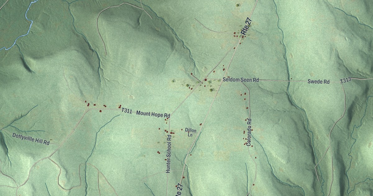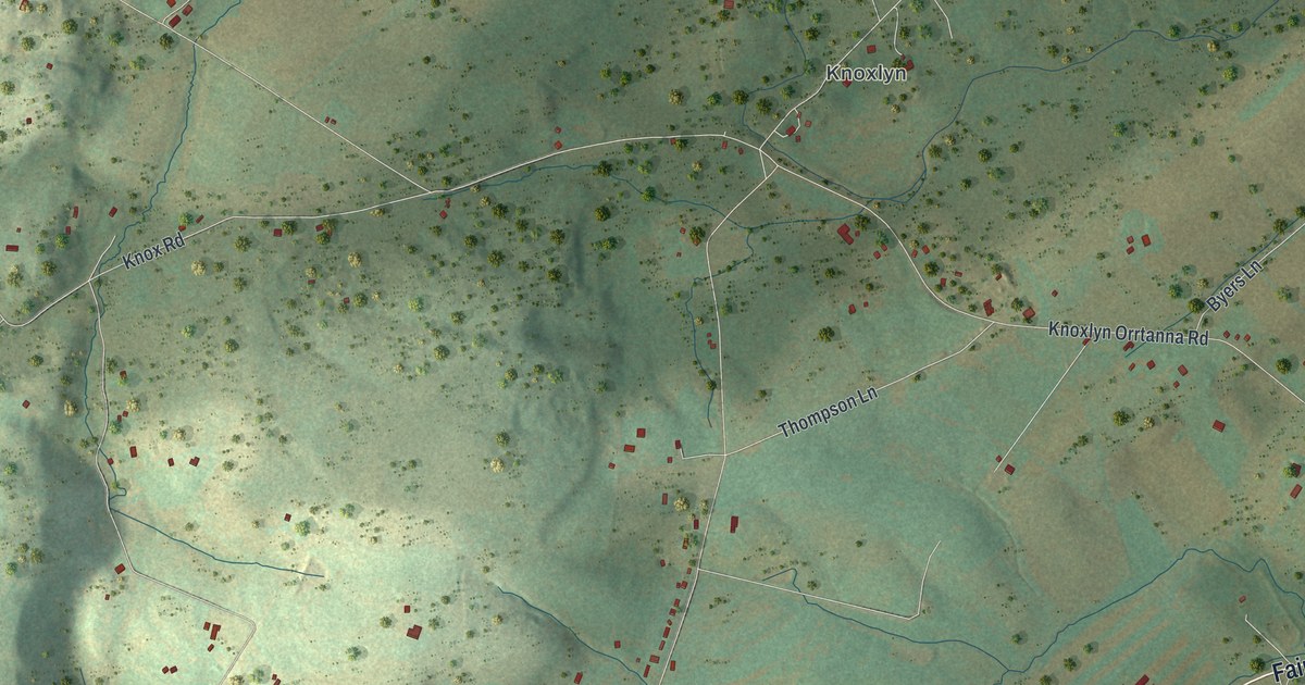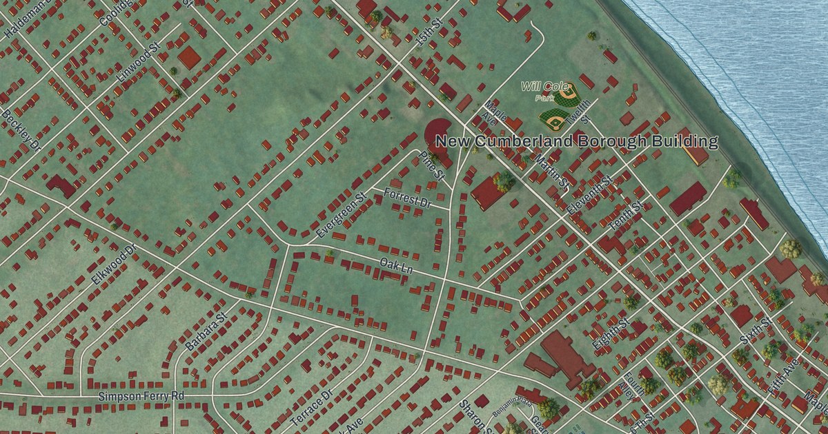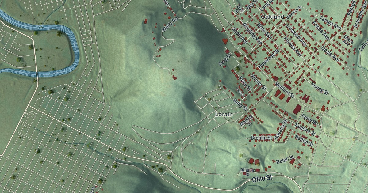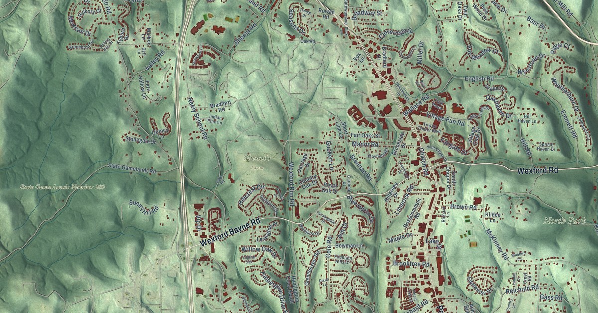
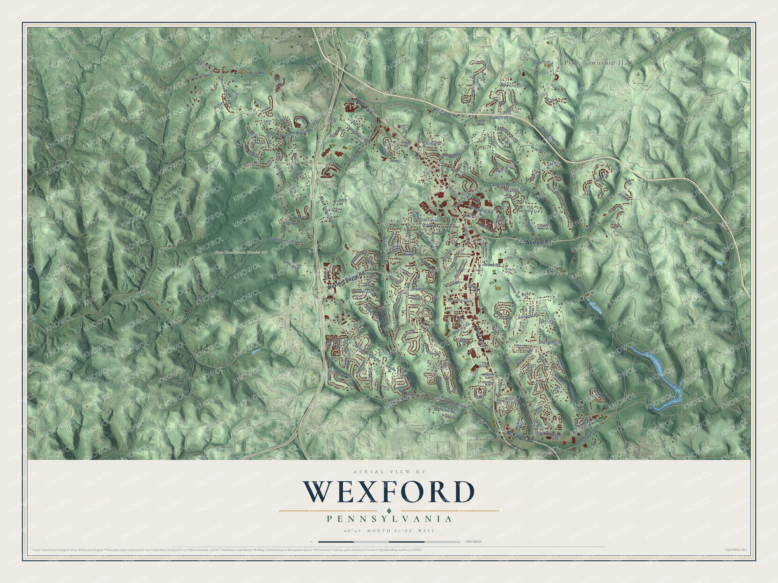
This beautifully detailed map of Wexford, Pennsylvania was created in 2026 using aerial imagery combined with modern topographical, census, street and landmark data. It’s a one-of-a-kind view of Wexford that combines accurate data with a vintage aesthetic. The map shows every building in its true location, many of the roads carry their names, and the shaded topographic relief shows the shape of the land.
Explore an aerial view of Wexford, Pennsylvania
On the map you’ll find Pine Township Hall, Knob Hill Park, North Park, Shenot’s Farm, State Game Lands Number 203, and Keown, along with Wexford Bayne Road, Wexford Road, Perry Highway, McKnight Road, Brandt School Road, East Ingomar Road, and more. If you look closely you can even find your house accurately drawn in its correct location. Zoom in on the preview to look for yours.
Did You Know?
From Internet Archive: "Stephen Murphy came from county Wexford Ireland, to Cherry township about 1840 and settled on the farm now owned by his son, Stephen Murphy."
Wexford is a community in Allegheny County.
Take a closer look at the Wexford map
Names on this map
These names are printed on this map.
Places: Pine Township Hall, Knob Hill Park, North Park, Shenot's Farm, State Game Lands Number 203 and Keown.
Streets and roads: Wexford Bayne Road, Wexford Road, Perry Highway, McKnight Road, Brandt School Road, East Ingomar Road, Wallace Road, Pearce Mill Road, Wexford Run Road, Mingo Road, Warrendale Bayne Road, Grubbs Road.
More street names, A to Z
Alder Drive, Alydar Drive, Arbordale Lane, Arthur Drive, Ash Court, Ashley Hill Drive, Balsa Drive, Barrington Drive, Baur Drive, Beaver Road, Bell Drive, Birch Drive, Blazier Drive, Bluebird Lane, Blue Heron Drive, Blum Avenue, Bowman Lane, Bradford Drive, Bradford Road, Brant Road, Brennan Road, Briar Hill Court, Bridle Path Drive, Bristlecone Drive, Broadway Street, Brookside Drive, Brooks Road, Brooktree Road, Brown Road, Candle Ridge Drive, Cardinal Drive, Carriage Drive, Church Road, Ciderberry Drive, Cloverdale Court, Cloverdale Drive, Clubhouse Drive, Cole Road, Cooper Creek Lane, Country Lane, Country Manor Lane, Country Oak Drive, Courtney Place, Crest Road, Deer View Point, Derby Court, Dixon Lane, Dogwood Drive, Drake Drive, Dyrt Lane, Easley Lane, Eddie Lewis Drive, Edelweiss Drive, Edison Drive, Elkridge Drive, Emmett Road, Ems Lane, Enders Lane, English Farm Drive, English Oak, English Road, Fairgate Drive, Fairmont Drive, Fair Oaks Street, Farmingdale Drive, Fern Hollow Lane, Forest Oaks Drive, Forestvue Avenue, Fountain Hills Drive, Fox Lane, Fox Meadow Drive, Foxwood Drive, Frey Drive, Gass Road, Gateway Avenue, Glenchester Road, Glenwood Drive, Glomb Lane, Graham Road, Greenbriar Drive, Greenwood Drive, Guckert Lane, Harmony Road, Hickory Court, Hickory Place, Hideaway Lane, Highpoint Drive, Highview Road, Hillcrest Circle, Hill Haven Lane, Hill Road, Hunters Point Drive, Huntington Court South, Indian Pine Lane, Ivy Drive, Janber Lane, Jurecko Lane, Kildee Lane, Killarney Drive, Knob Road, Kummer Road, Lake Drive, Lake Road, Landau Drive, Le Grand Drive, Lexington Place, Limerick Road, Lindenwood Drive, Lloydmont Drive, Longmount Drive, Longvue Avenue, Lyndhurst Circle, Malbec Lane, Manor Road, Maple Drive, Matterhorn Drive, Mayfield Road, McKean Drive, McKinney Road, Meinert Road, Miller Drive, Morelli Lane, Nash Lane, Neely School Road, Neuhart Boulevard, North Chapel Drive, Oakhaven Drive, Oakridge Drive, Oak Road, Old Farm Lane, Old Perry Highway, Parkland Drive, Park Plaza, Pheasant Run Drive, Phyllis Drive, Pine Creek Road, Pine Lane, Pine Park Drive, Pine Wood Drive, Pinkerton Drive, Pinkerton Road, Pleasant Hill Road, Pleasant Hills Road, Providence Drive, Quincy Lane, Rabold Drive, Range Drive, Reichold Road, Richard Lane, Richard Road, Ridge Court, Ridgeview Avenue, Rinaman Road, Rolling Hills Drive, Rosscommon Road, Rowan Road, Royal Oak Drive, Ruffner Lane, Sarver Lane, Scarlet Circle, Seasons Drive, Shenot Road, Short Line Lane, Slick Lane, South Chapel Drive, Spruce Haven Drive, State Gamelands Road, Stonegate Drive, Strawberry Lane, Summit Drive, Sunny Hill Road, Swinderman Road, Tech 21 Drive, Terry Lane, Tierra Vista Drive, Timberglen Drive East, Towne Center Boulevard, Trinity Way, Twin Hill Road, Twin Oaks Drive, Tyburn Drive, Valley Road, Vander Road, Village Club Drive, Village Run Road, Vip Drive, Wagon Wheel Trail, Warrendale Road, Wedgewood Drive, Weinman Road, Wheatland Road, Whetherburn Drive, Willow Oak Drive, Windgate Drive, Windwood Drive, Woodbury Drive, Wynstone Drive, Zander Lane, Zey Fang Lane.
See it on a wall
The Wexford map as a framed print. Swipe for more.


This beautifully detailed map of Wexford makes an attractive addition to your office, library, or den, and it can even be used to teach children the geography and history of the area. It also makes a great gift for anyone with Wexford roots. When you’re done exploring, click here to get your copy of the Wexford map.