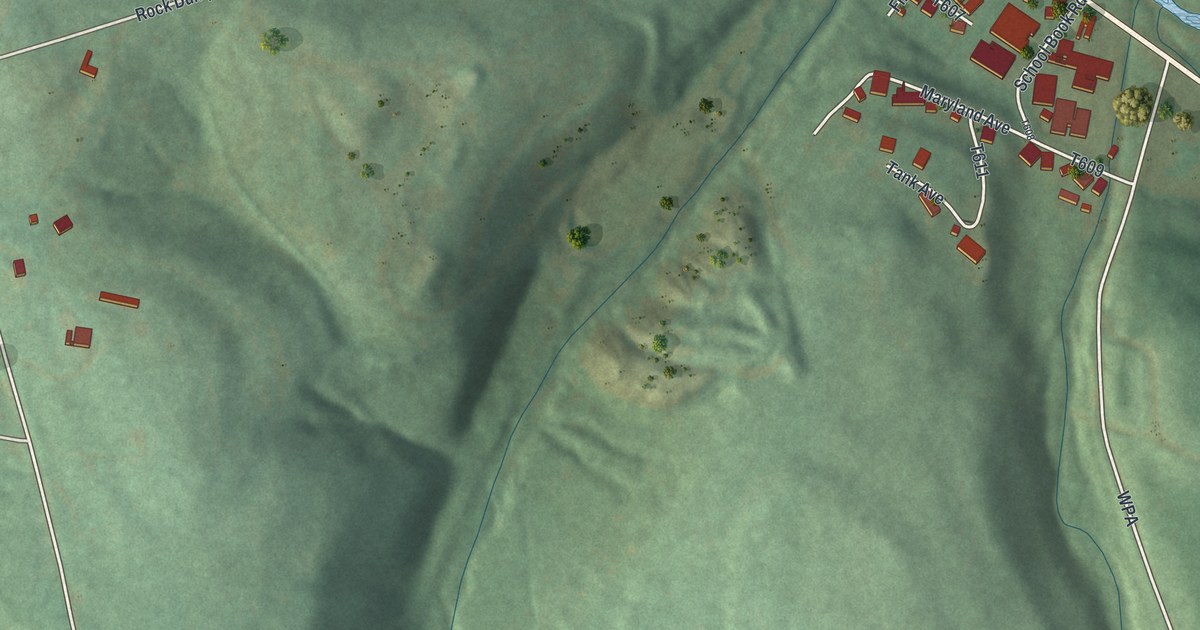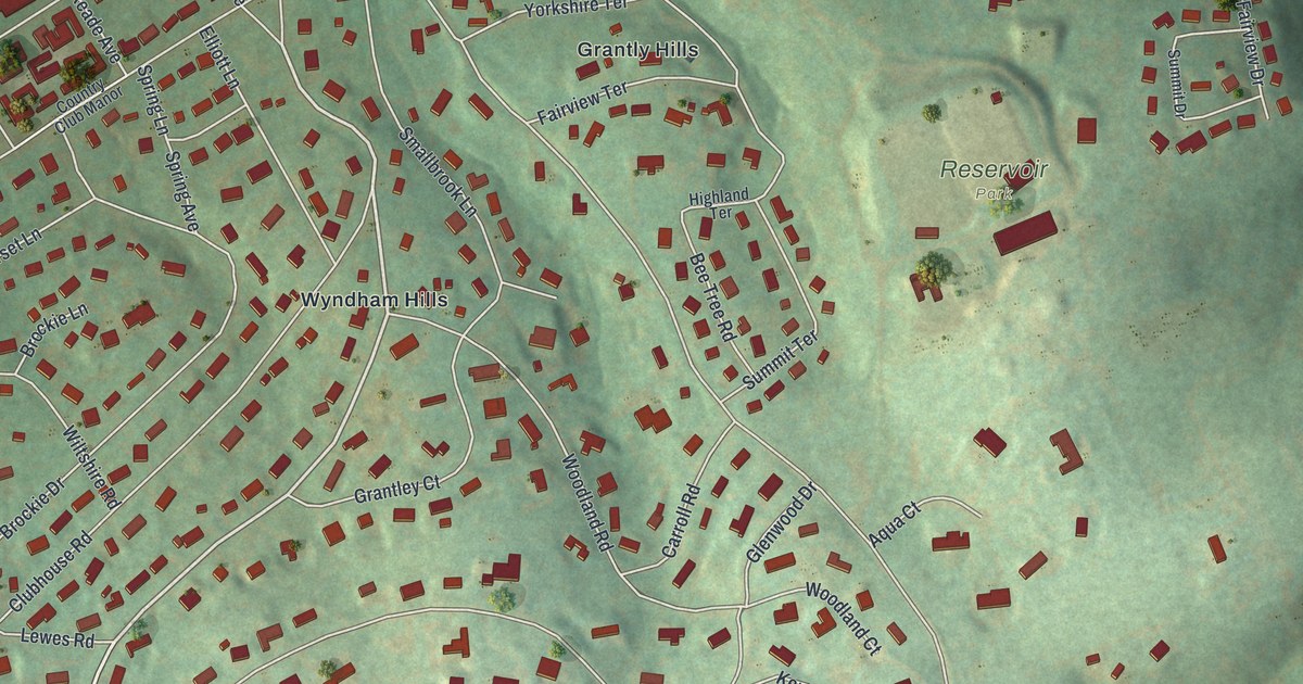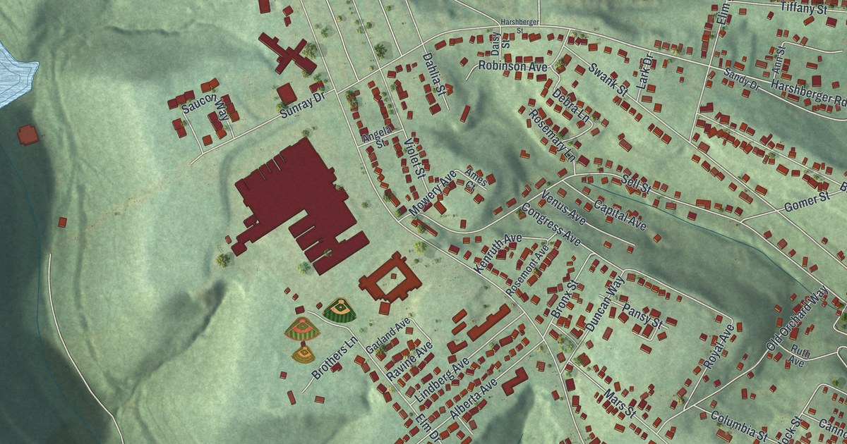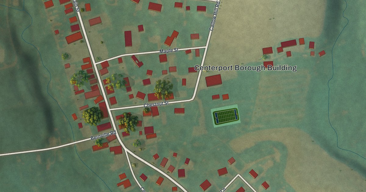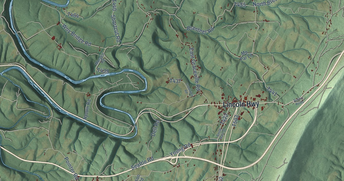
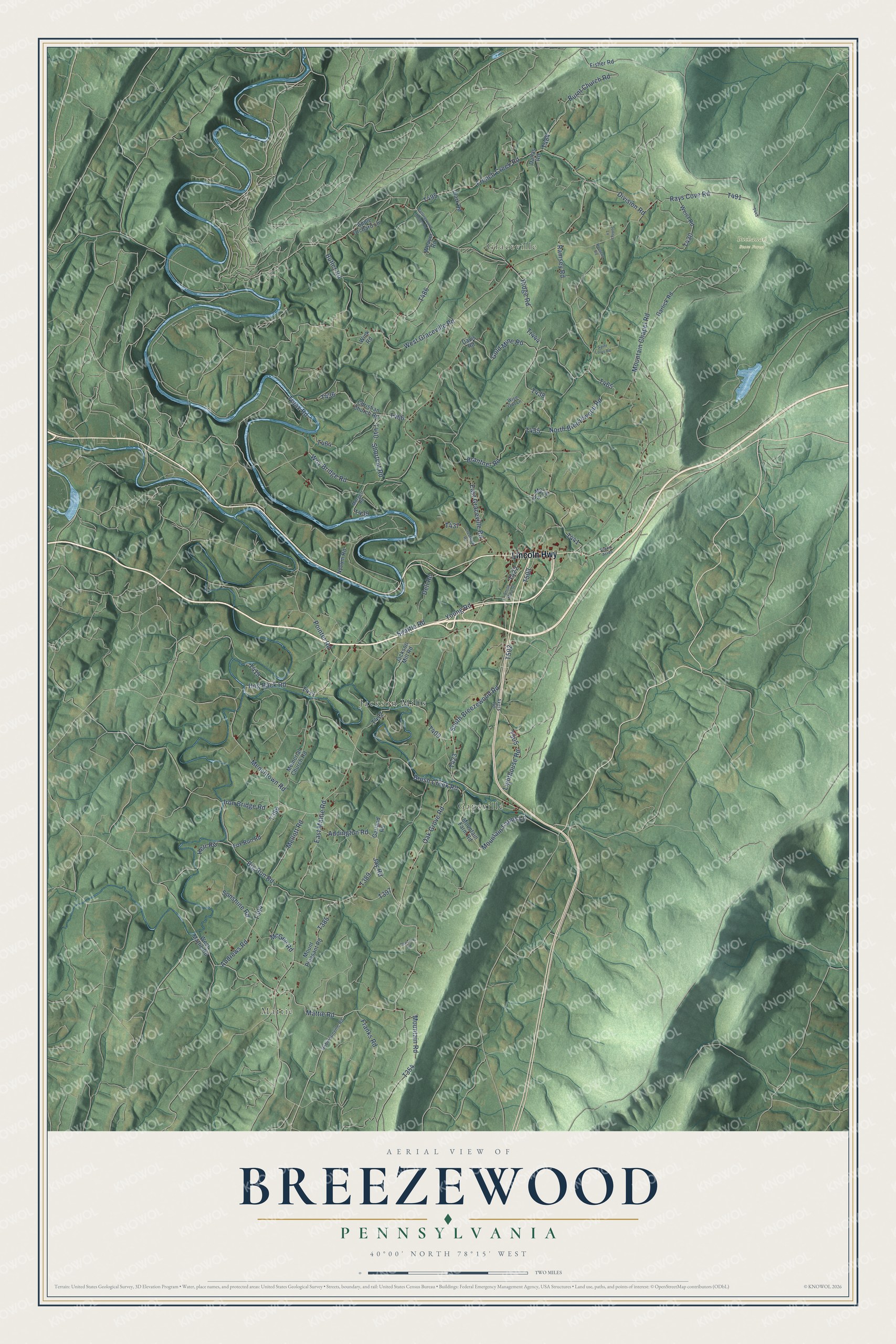
This beautifully detailed map of Breezewood, Pennsylvania was created in 2026 using aerial imagery combined with modern topographical, census, street and landmark data. It’s a one-of-a-kind view of Breezewood that combines accurate data with a vintage aesthetic. The map shows every building in its true location, many of the roads carry their names, and the shaded topographic relief shows the shape of the land.
Explore an aerial view of Breezewood, Pennsylvania
On the map you’ll find Mattie, Graceville, Buchanan State Forest, Gapsville, and Jackson Mills, along with Lincoln Highway, South Breezewood Road, Division Road, Oak Grove Road, and more. If you look closely you can even find your house accurately drawn in its correct location. Zoom in on the preview to look for yours.
Take a closer look at the Breezewood map
Names on this map
These names are printed on this map.
Places: Mattie, Graceville, Buchanan State Forest, Gapsville and Jackson Mills.
Streets and roads: Lincoln Highway, South Breezewood Road, Division Road, Oak Grove Road, Burnt Church Road, French Creek Road, Ramsey Road, East Mattie Road, Menchtown Road, Lighthouse Road, Brush Creek Road, North Breezewood Road.
More street names, A to Z
Addington Road, Akers Road, Andrews Road, Apple Orchard Lane, Battleground Hollow Road, Big Run Road, Brantner Road, Butler Road, Christian Church Road, Clark Road, Crestview Road, Dallas Road, Davis Road, Dell Road, East Graceville Road, Fisher Road, Fox Run Road, Franks Road, Garland Road, Garlick Road, Gold Mine Road, Herr Road, Hog Back Road, Houston Road, Iron Bridge Road, Jackson Mill Road, Jay Road, Mattie Road, McGee Road, Mellott Road, Memorial Church Road, Mo Par Lane, Morgert Road, Mountain Chapel Road, Mountain Farm Road, Mountain Farms Lane, Mountain Road, Mount Pleasant Road, Nycum Road, Pheonix Road, Pointer Road, Rays Cove Road, Ridge Road, Robinsonville Road, Saint Louis Road, Scenic Acres, Seattle Road, Shortcut Road, South Main Street, Sunnys Lane, Sunshine Road, Tr444, Truax Road, Weaver Road, Weist Road, West Graceville Road, West Mattie Road, Wink Road, Wise Owl Lane, Woy Bridge Road, Young Road.
See it on a wall
The Breezewood map as a framed print. Swipe for more.


This beautifully detailed map of Breezewood makes an attractive addition to your office, library, or den, and it can even be used to teach children the geography and history of the area. It also makes a great gift for anyone with Breezewood roots. When you’re done exploring, click here to get your copy of the Breezewood map.