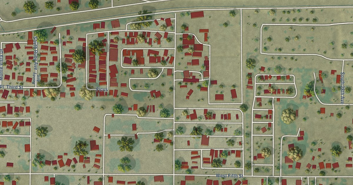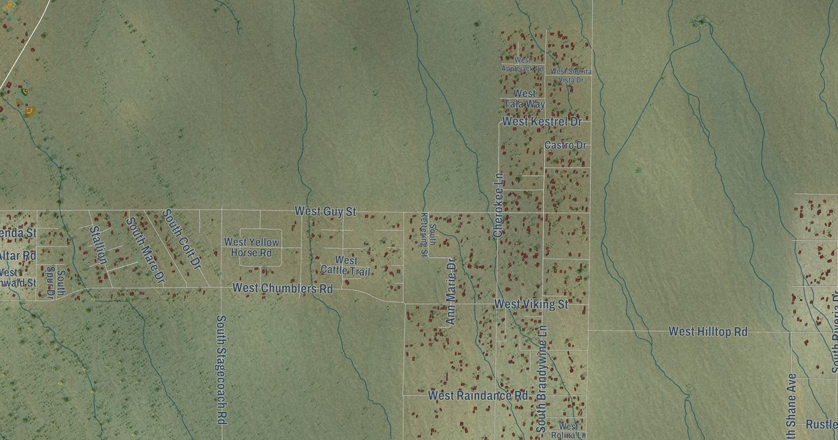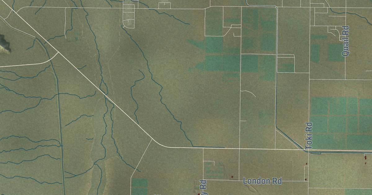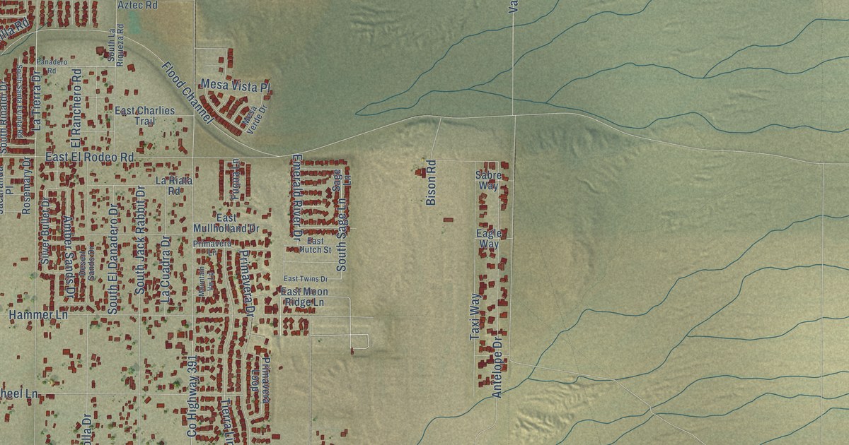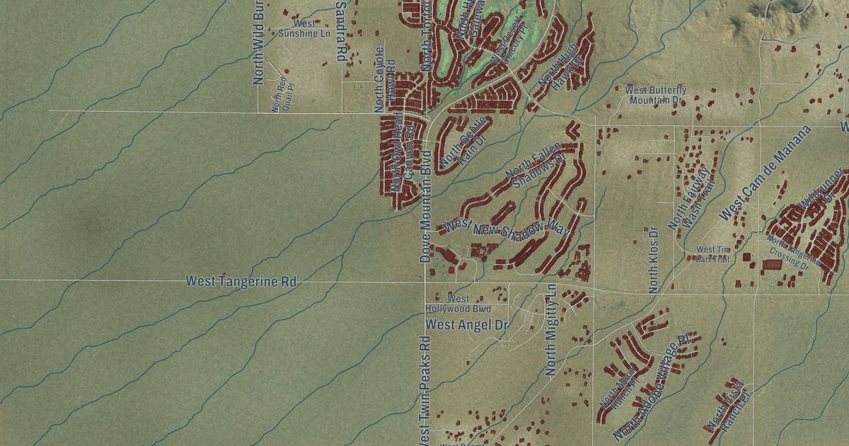
This beautifully detailed map of Tortolita, Arizona was created in 2026 using aerial imagery combined with modern topographical, census, street and landmark data. It’s a one-of-a-kind view of Tortolita that combines accurate data with a vintage aesthetic. The map shows every building in its true location, many of the roads carry their names, and the shaded topographic relief shows the shape of the land.
Explore an aerial view of Tortolita, Arizona
On the map you’ll find Cascada North Donation, North Cam de Oeste, and West Cam de Manana, along with West Twin Peaks Road, West Moore Road, Dove Mountan Boulevard, North Dove Mountain Boulevard, North Thornydale Road, West Tangerine Road, West Cochie Canyon Trail, West Linda Vista Boulevard, West Cortaro Farms Road, and more. If you look closely you can even find your house accurately drawn in its correct location. Zoom in on the preview to look for yours.
Take a closer look at the Tortolita map
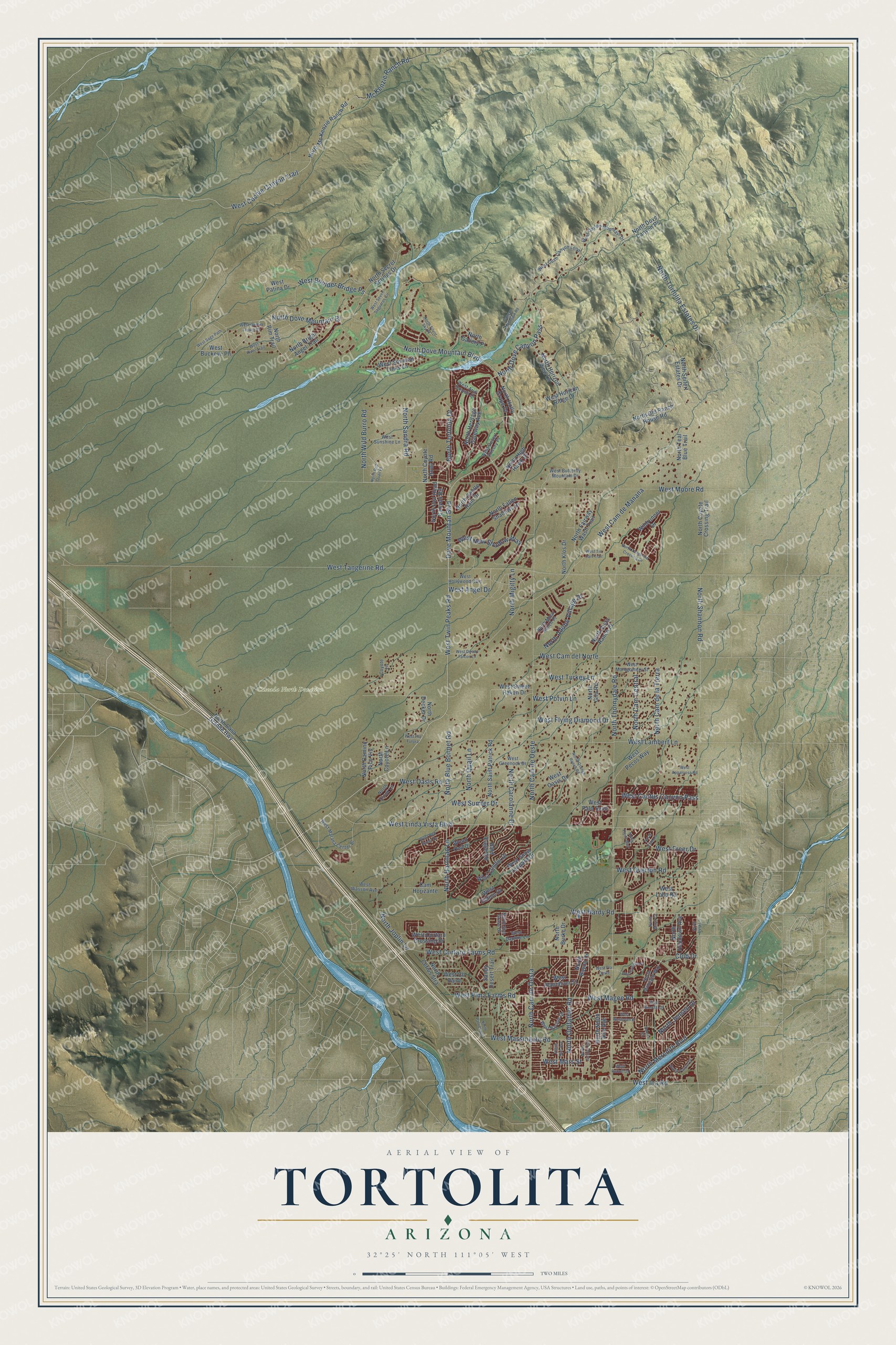
Names on this map
These names are printed on this map.
Places: Cascada North Donation.
Streets and roads: West Twin Peaks Road, West Moore Road, Dove Mountan Boulevard, North Dove Mountain Boulevard, North Thornydale Road, North Cam de Oeste, West Tangerine Road, West Cochie Canyon Trail, West Linda Vista Boulevard, West Cam de Manana, West Cortaro Farms Road, North Oldfather Road.
More street names, A to Z
Bald Eagle Road, Cam Horizante, Canyon Mountain Road, Club Drive, Coyote Lane, Eunice Street, Mc Kenzie Ranch Road, North Adobe Village Place, North Bayou Drive, North Blue Bonnet Road, North Bright Angel Trail, North Burke Drive, North Cam Central, North Cam de la Tierra, North Cam de Oesta, North Camino Pico Vis, North Carolanne Drive, North Casa Grande Highway, North Cerius Stra, North Coyote Crossing Trail, North Coyote Howl Road, North Coyote Lane, North Crook Lane, North Decker Drive, North Dove Canyon Pass, North Dove Canyon Ps, North Dove Mountain Bl, North Elan Lane, North Fairway Wash Trail, North Fallen Shadows Drive, North Flynn Way, North Gallery Place, North Gentle Rain Drive, North Gila Road, North Hartman Lane, North Heritage Gateway Avenue, North High Hawk Drive, North Holly Grape Drive, North Hopdown Avenue, North Horizon View Lane, North Jensen Drive, North Joplin Lane, North Juniper Road, North Klos Drive, North Lyra Lane, North Maya Court, North Mc Kenzie Ranch Road, North Meredith Boulevard, North Midnight Way, North Migitty Lane, North Moon Ranch Place, North North Aire Avenue, North Old Ranch House Road, North Orange Ranch Road, North Owl Head Canyon Road, North Patrick Road, North Patriot Drive, North Quail Lane, North Rae Avenue, North Red Quail Place, North Rim Trail, North Saint Patrick Road, North Sandra Road, North Secret Springs Drive, North Seifert Estates Drive, North Shannon Road, North Silent Sky Place, North Star Grass Drive, North Tangerine Crossing Drive, North Teal Blue Trail, North Tortolita Drive, North Tortolita Estates Drive, North Vista Ranch Place, North Wild Burro Road, Sandy Desert Trail, West Angel Drive, West Appaloosa Road, West Arid Canyon Drive, West Barque Drive, West Boulder Bridge Ps, West Buckeye Ph, West Butterfly Mountain Drive, West Cactus Canyon Pass, West Cactus Flower Ps, West Cam del Norte, West Cayton Mountain Drive, West Cll Paint, West Condor Drive, West Cortaro Crossing Drive, West Cush Canyon Loop, West Daphne Lane, West Desert Chicory Place, West Desert Falcon Lane, West Didion Drive, West Flying Diamond Drive, West Freer Drive, West Goshen Drive, West Greenock Drive, West Hardy Road, West Hollywood Boulevard, West Horizon Ridge Drive, West Ina Road, West Lambert Lane, West Lobo Road, West Magee Road, West Marana Center Bl, West Mars Street, West Massingale Road, West Montgomery Street, West New Shadow Way, West Oasis Drive, West Oasis Road, West Overton Road, West Palo Seco, West Patina Drive, West Pecos Way, West Pima Farms Road, West Pla Futura, West Plantation Street, West Pla Oeste, West Potvin Lane, West Red Racer Drive, West River Trail, West Rudolf Drive, West Sage Path, West Seven Saguaros Circle, West Snow Leopard Drive, West Sonoran Links Lane, West Sumter Drive, West Sunshine Lane, West Sweet Haven Drive, West Tin Cart Trail, West Turkey Lane, West Wasson Avenue, West Wesleyan Drive, West Westfal Drive, Wildrunner Drive, Wood Owl Drive.
See it on a wall
The Tortolita map as a framed print. Swipe for more.


This beautifully detailed map of Tortolita makes an attractive addition to your office, library, or den, and it can even be used to teach children the geography and history of the area. It also makes a great gift for anyone with Tortolita roots. When you’re done exploring, click here to get your copy of the Tortolita map.