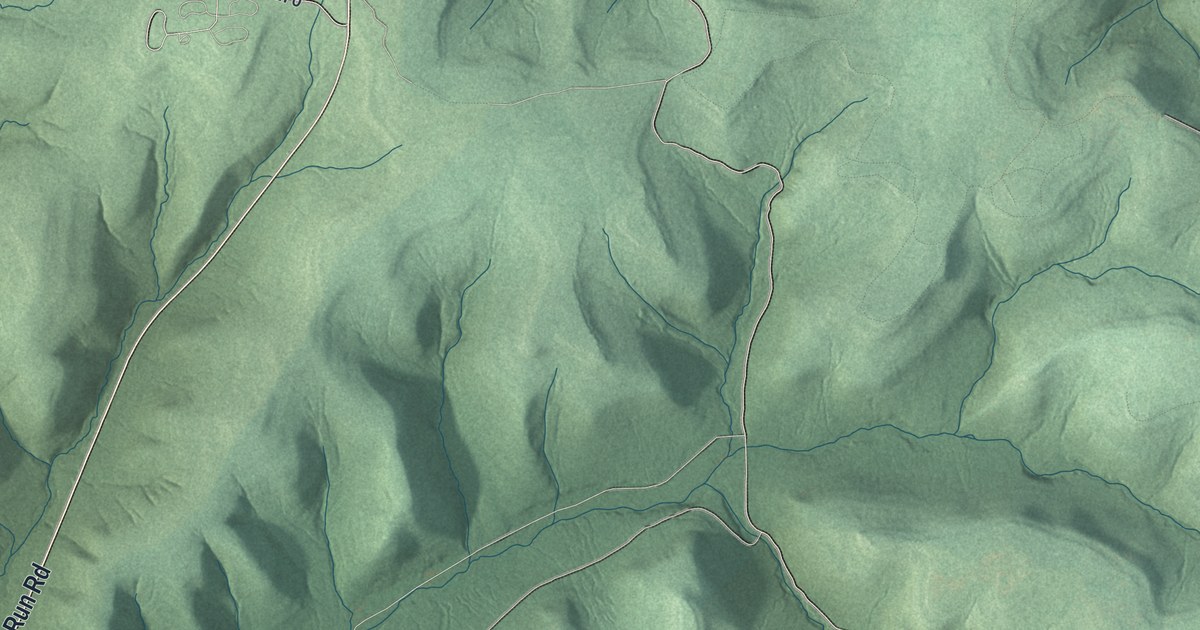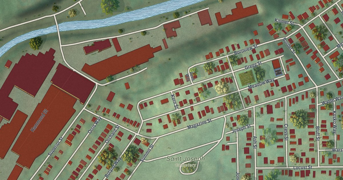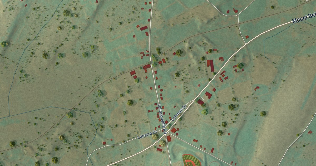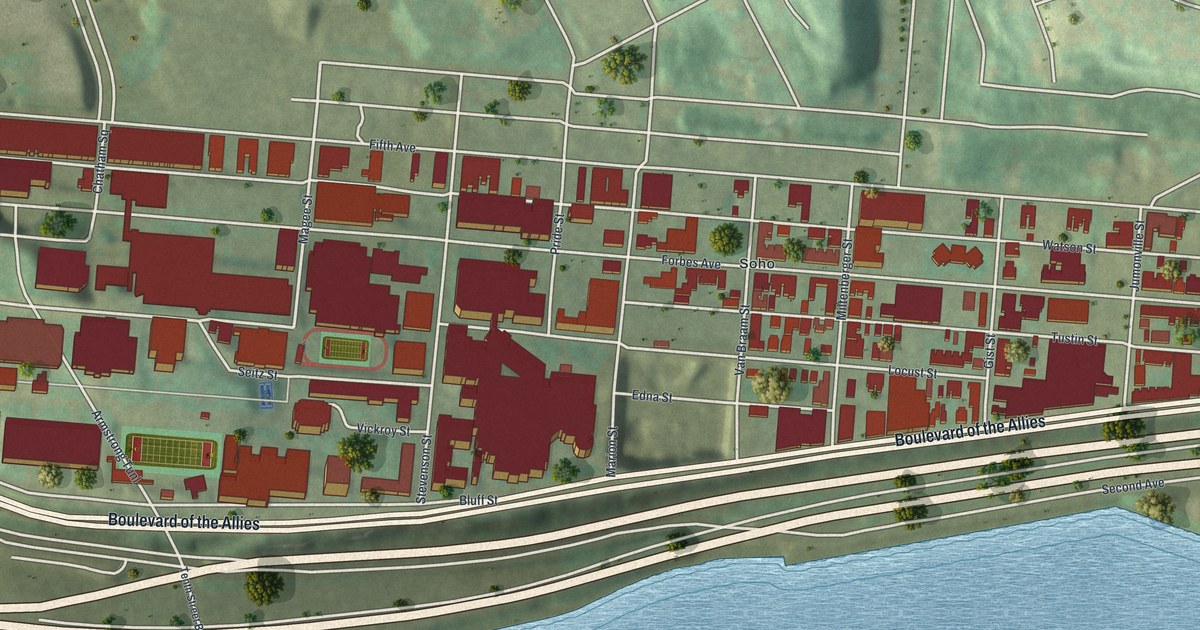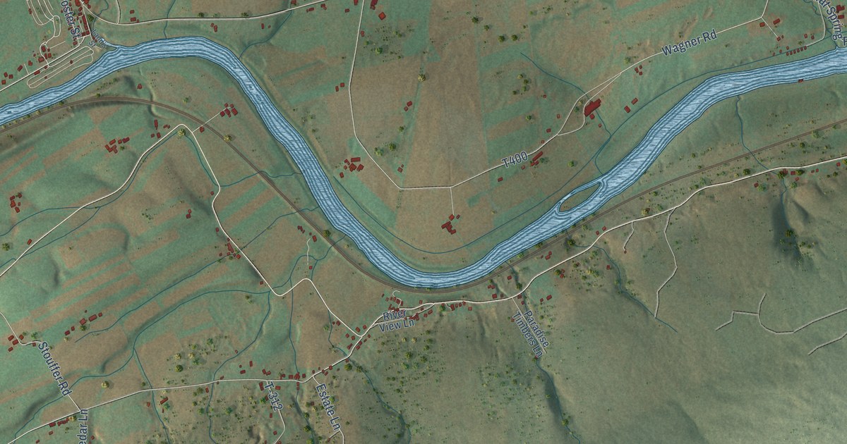
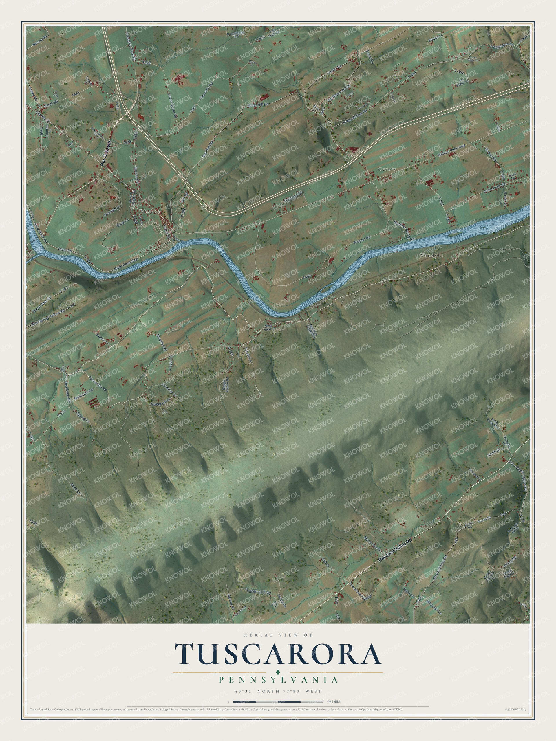
This beautifully detailed map of Tuscarora, Pennsylvania was created in 2026 using aerial imagery combined with modern topographical, census, street and landmark data. It’s a one-of-a-kind view of Tuscarora that combines accurate data with a vintage aesthetic. The map shows every building in its true location, many of the roads carry their names, and the shaded topographic relief shows the shape of the land.
Explore an aerial view of Tuscarora, Pennsylvania
On the map you’ll find Vandyke, Centre, Mexico, and T-380, along with Raccoon Valley Road, Estate Lane, River Road, Tuscarora Road, River Road East, Locust Run Road, Industrial Park Road, William Penn Highway, and more. If you look closely you can even find your house accurately drawn in its correct location. Zoom in on the preview to look for yours.
Take a closer look at the Tuscarora map
Names on this map
These names are printed on this map.
Places: Vandyke, Centre and Mexico.
Streets and roads: Route 75 South, Raccoon Valley Road, Estate Lane, River Road, Tuscarora Road, River Road East, T-380, Locust Run Road, Industrial Park Road, William Penn Highway, Swamp Road, T-352.
More street names, A to Z
Acorn Drive, Acorn Road, Ash Drive, Auker Road, Barnes Drive, Beason Lane, Birch Lane, Blue Spring Hollow Road, Book Lane, Burd Lane, Casner Drive, Cedar Grove Road, Cedar Lane, Center Road, Cherry Valley Road, Chicken Plant Road, Conard Lane, Connie Lane, County Legend Drive, Crabapple Lane, Cunningham Road, Deamer Lane, Debra Drive, Deerville Road, Dever Hollow Road, Doe Run Road, Dowling Lane, Fairman Road, Fossil Lane, Foster Street, Frymoyer Drive, Gallagher Lane, Gill Road, Haas Lane, Hampton Lane, Hemlock Hill Drive, Hickory Lane, Hilltop Road, Iron Kettle Lane, Jonestown Road, Kauffman Hill Road, Kyle Street, Landis Street, Maben Road, Maggie Kepner Road, Marsh Run Drive, Maykut Lane, Mexico Heights Road, Miller Hill Road, Mountain Road, Muskrat Spring Road, Nelson Road, Old Route 22, Paradise Timbers Lane, Ponderosa Trail, Poplar Lane, Quail Lane, Rabbit Slide Lane, Rabbit Slide Road, Red Rock Road, Renno Lane, Reservoir Road, River View Lane, Royal View Road, Saner Lane, Sipe Lane, Smith Drive, Smith Road, Spring Lane, Stony Creek Way, Stouffer Road, T-312, T-313, T-357, T-361, T-362, T-364, T-382, T-391, T-399, T-401, T-404, T-406, T-437, T-455, T-562, Texas Hollow Road, Tolbert Lane, Tuscarora View Drive, Un-Named, Un-Named Lane, Wagner Lane, Wagner Road, Walker Township Park Lane, West River Road, Whitetail Lane, Windy Hill Lane.
See it on a wall
The Tuscarora, Turbett Township, Juniata County map as a framed print. Swipe for more.


This beautifully detailed map of Tuscarora, Turbett Township, Juniata County makes an attractive addition to your office, library, or den, and it can even be used to teach children the geography and history of the area. It also makes a great gift for anyone who grew up in Tuscarora or moved away. When you’re done exploring, click here to get your copy of the Tuscarora, Turbett Township, Juniata County map.