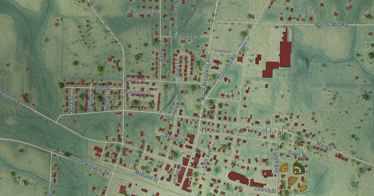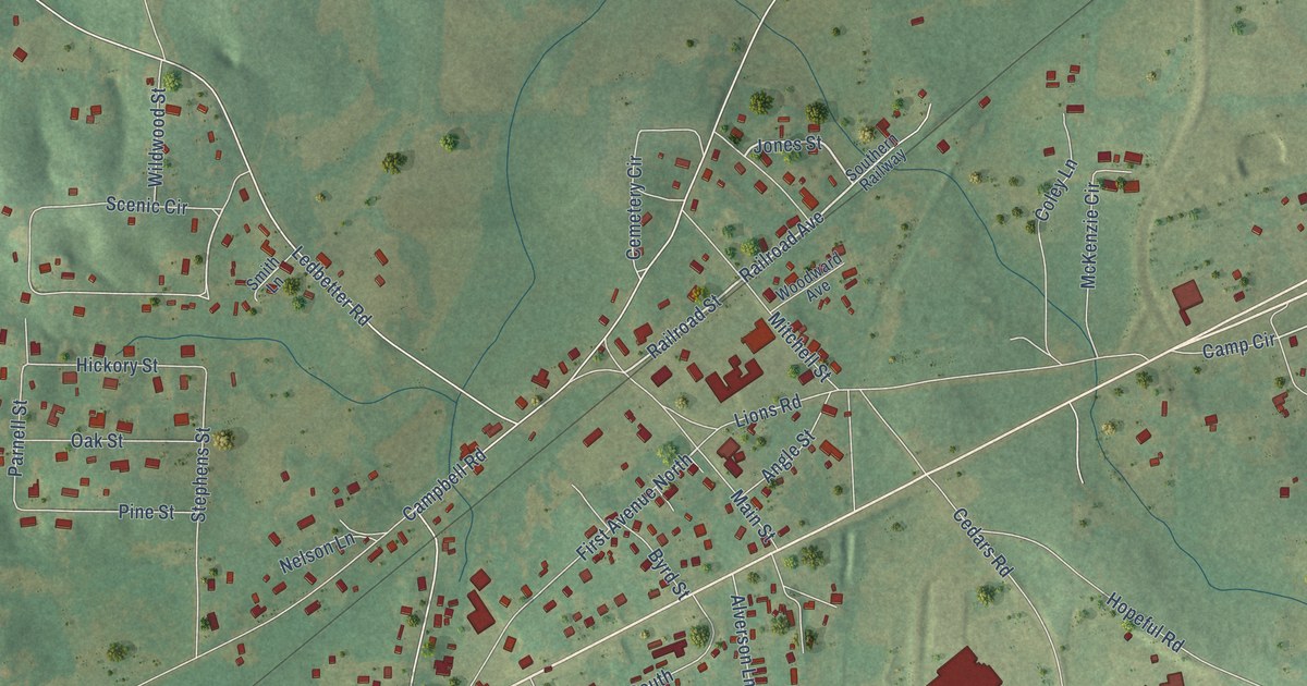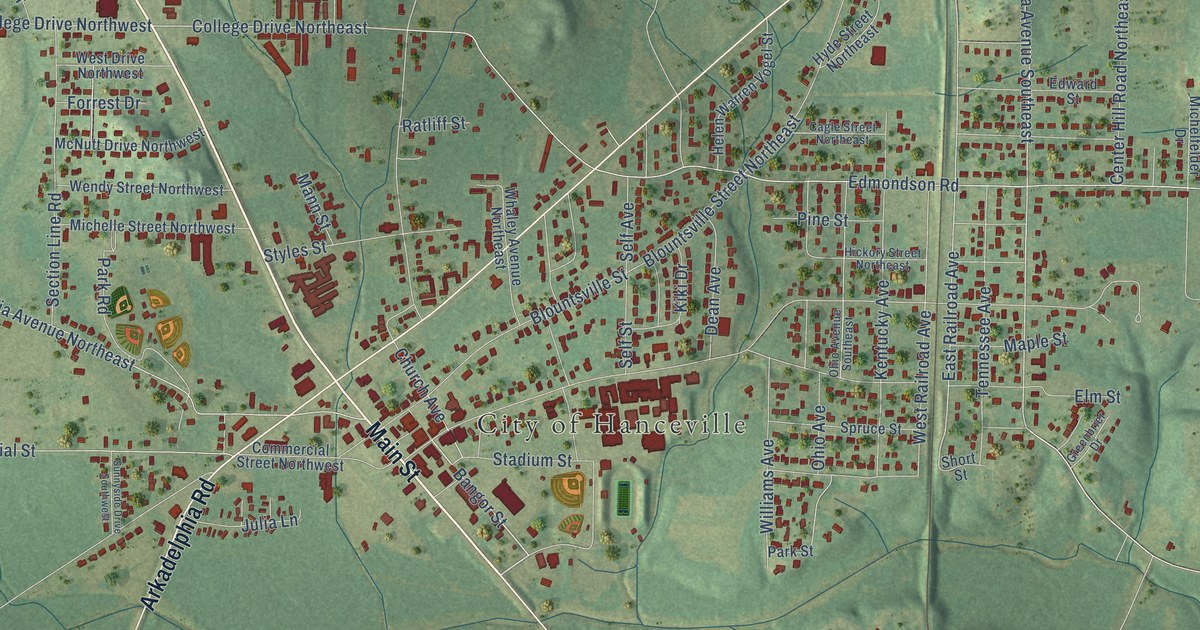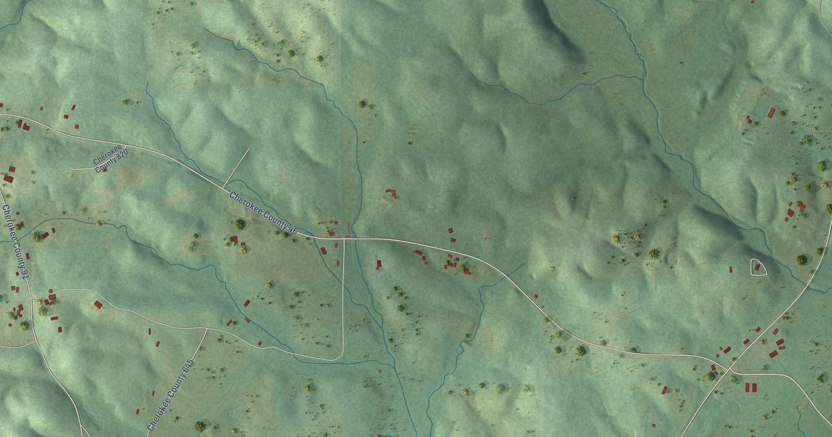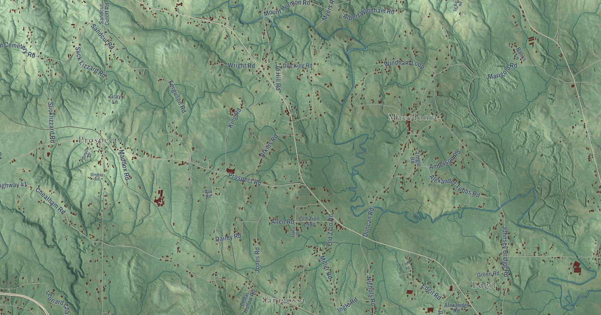
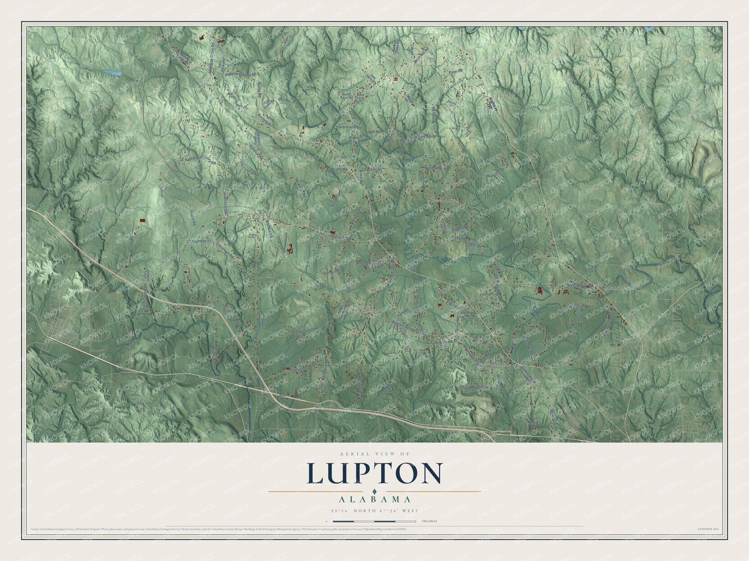
This beautifully detailed map of Lupton, Alabama was created in 2026 using aerial imagery combined with modern topographical, census, street and landmark data. It’s a one-of-a-kind view of Lupton that combines accurate data with a vintage aesthetic. The map shows every building in its true location, many of the roads carry their names, and the shaded topographic relief shows the shape of the land.
Explore an aerial view of Lupton, Alabama
On the map you’ll find Manchester, Prospect, Rosehill, Gamble, Macedonia, Saragossa, Thach, and Edgil, along with Saragossa Road, County Highway 41, Cheatham Road, Redmill Saragossa Road, and more. If you look closely you can even find your house accurately drawn in its correct location. Zoom in on the preview to look for yours.
Take a closer look at the Lupton map
Names on this map
These names are printed on this map.
Places: Manchester, Prospect, Rosehill, Gamble, Macedonia, Saragossa, Thach and Edgil.
Streets and roads: Saragossa Road, County Highway 41, Cheatham Road, Redmill Saragossa Road, Popular Springs Road, Prospect Road, Duncan Road, Rose Hill Road, Scott Cemetery Road, Johnsey Bridge Road, Ripley Road, Myers Road.
More street names, A to Z
Albert Windham Road, Alexander Road, Alexander Tubbs Road, Allen Road, Anderson Road, Atkins Road, Avery Road, Banks Lane, Bell Road, Bluecut Road, Bradford Road, Bunkum Creek Road, Burton Road, Busby Church Road, Busby Road, Butler Farm Road, Camp Grnd Road, Cedar Hollow Road, Chism Loop, Clark Road, Cooner Road, Cooper Drive, Dailey Road, Dean Lane, Diamond Drive, Dingler Road, Doc King Road, Edell Road, Edgil Grove Road, Edgil Road, Ferguson Road, Flora Drive, Gamble Mine Road, Giles Road, Gray Lane, Green Road, Harrison Shipman Road, Highway 195, Holly Drive, Ingle Road, Ivey Farm Road, Jagger Road, Jd Hill Road, Jones Road, Keeton Cemetery Road, Kilgore Lane, Kilgore Road, Kimbrell Road, King Road, Langley Road, Langston Road, Leonard Chapel Road, Lost Creek Road, Maddox Road, Marigold Road, Miller Road, Miskelley Drive, Mount Hermon Road, Nauvoo Road, New Oak Grove Road, Nichols Road, Oak Grove Road, Oak Road, Oakwood Court, Old Russellville Road North, Old Zion Loop, Old Zion Road, Pine Lane, Piper Road, Poplar Springs Road, Prescott Road, Ripley Cutoff Road, Ripley Lane, Romine Bailey Road, Russell Dairy Road, Sandcut Cutoff Road, Sandcut Road, Sg Barker Road, Shanna Lane, Slicklizzard Road, Slick Lizzard Road, Smith Chapel Road, Smith Drive, Tingle Road, Trenton Drive, Trotter Road, Twin Valley Road, Un Td II, Webb Drive, Wells Loop, West Farm, Williams Road, Windham Loop, Wire Road, Wood Lane, Woods Road, Wright Road.
See it on a wall
The Lupton map as a framed print. Swipe for more.


This beautifully detailed map of Lupton makes an attractive addition to your office, library, or den, and it can even be used to teach children the geography and history of the area. It also makes a great gift for anyone with Lupton roots. When you’re done exploring, click here to get your copy of the Lupton map.