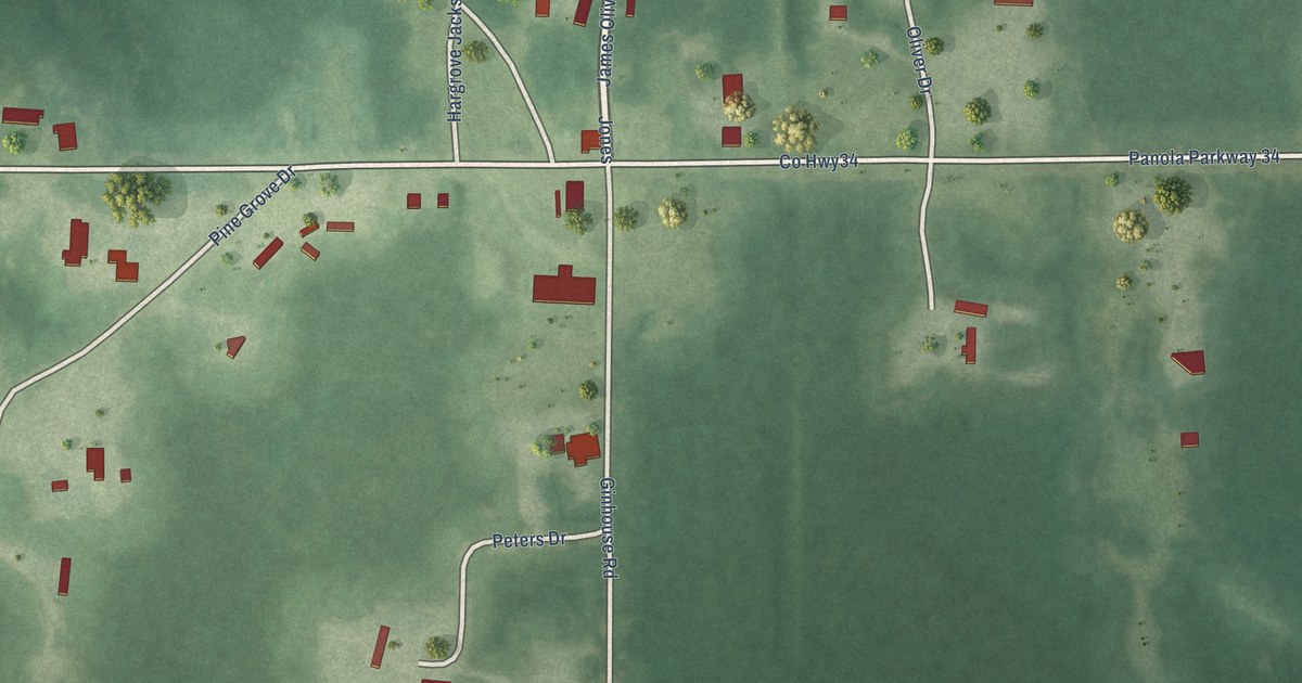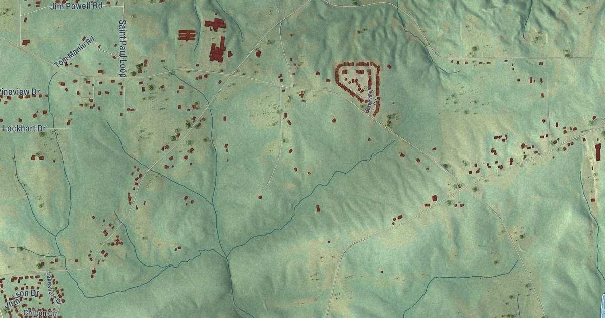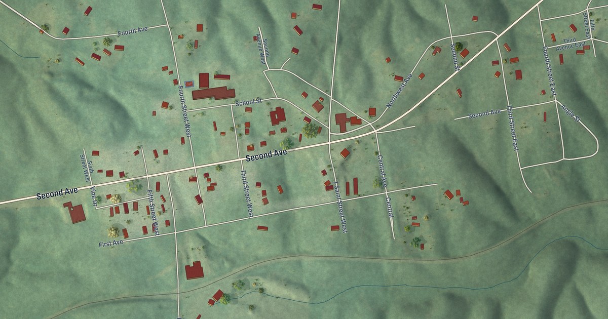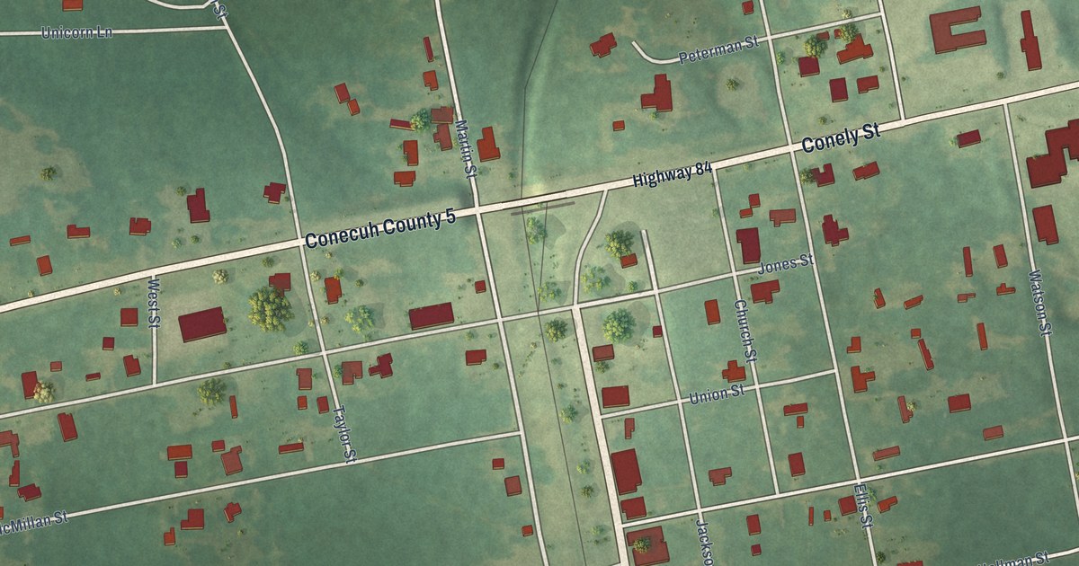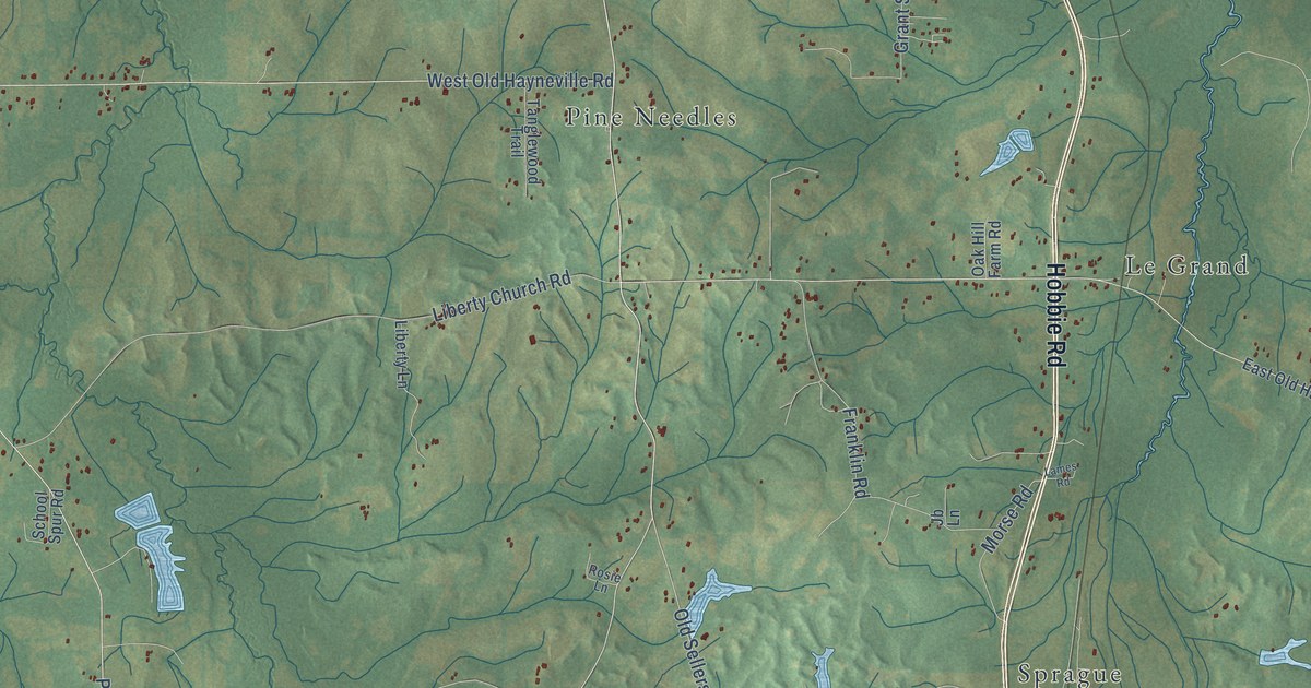
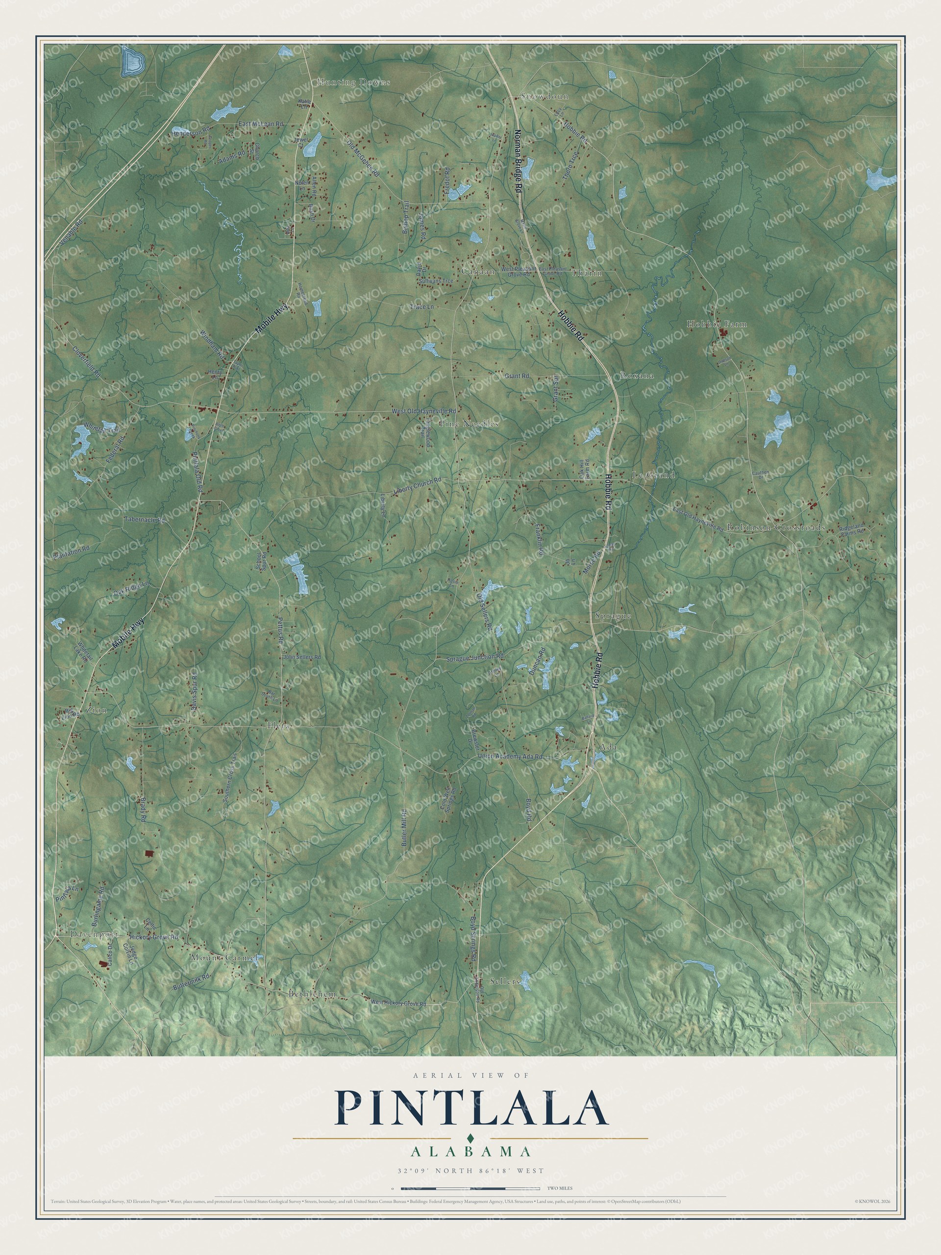
This beautifully detailed map of Pintlala, Alabama was created in 2026 using aerial imagery combined with modern topographical, census, street and landmark data. It’s a one-of-a-kind view of Pintlala that combines accurate data with a vintage aesthetic. The map shows every building in its true location, many of the roads carry their names, and the shaded topographic relief shows the shape of the land.
Explore an aerial view of Pintlala, Alabama
On the map you’ll find Davenport, Hunting Downs, Snowdoun, Ada, Robinson Crossroads, Sellers, Zion, Pine Needles, Hobbie Farm, Fleta, Sprague, Bethlehem, and more. If you look closely you can even find your house accurately drawn in its correct location. Zoom in on the preview to look for yours.
Did You Know?
From Internet Archive: "Two miles south of Hope Hull on the Marsden road is a mound and village site, located near Pintlala Creek about 10 miles above its mouth."
Pintlala is a community in Montgomery County.
Take a closer look at the Pintlala map
Names on this map
These names are printed on this map.
Places: Davenport, Hunting Downs, Snowdoun, Ada, Robinson Crossroads, Sellers, Zion, Pine Needles, Hobbie Farm, Fleta, Sprague, Bethlehem, Canaan, Le Grand, Roxana, Tharin and Mount Carmel.
Streets and roads: Hobbie Road, Mobile Highway, Norman Bridge Road, Hickory Grove Road, Butler Mill Road, Pettus Road, Old Sellers Road, Sprague Junction Road, West Old Hayneville Road, Venable Road, Union Academy Ada Road, Brady Road.
More street names, A to Z
Abby Lane, Adams Road, Allen Road, Ashley Lane, Ballard Lane, Bar South Lane, Belle Grove, Big Zion Road, Bishop Trail, Boyd Road, Boyd Springs Road, Brewster Drive, Burlingame Road, Bush Drive, Buttermilk Road, Calico Drive, Cauthen Drive, Celtic Lane, Church Street, Cloverfield Road, Cold Well Springs Road, Cooper Road, David Drive, Davis Spur Road, Dodson Lane, Duncan Road, East McLean Road, East Old Hayneville Road, East Pleasant Grove Road, Federal Road, Franklin Road, Fredot Road, Grant Road, Grant Spr, Henderson Road, Henry Lane, Homestead Road, James Road, Jb Lane, Jewel Court, John Sellers Road, Judge Colvin Lane, Jupiter Lane, Katie Lane, Lames Road, Liberty Church Road, Liberty Lane, Lucy Lane, Maple Grove Lane, Morse Road, Nolen Lane, Oak Hill Farm Road, Oak Ridge Lane, Old Anderson Road, Old McGehee Road, Pinchony Creek, Pintlala Lane, Pintlala Old Road, Plantation Road, Ridgeland Farms Road, Rosie Lane, School Spur Road, Southern Cross Trail, Sullivans Trce, Tabernacle Road, Tanglewood Trail, Taylor Trail, Thorn Trce, Trace Lane, West Hickory Grove Road, West Pleasant Grove Road, Whitetail Lake Road, Whitetail Trail, Windham Road, Zolman Road.
See it on a wall
The Pintlala map as a framed print. Swipe for more.


This beautifully detailed map of Pintlala makes an attractive addition to your office, library, or den, and it can even be used to teach children the geography and history of the area. It also makes a great gift for anyone with Pintlala roots. When you’re done exploring, click here to get your copy of the Pintlala map.