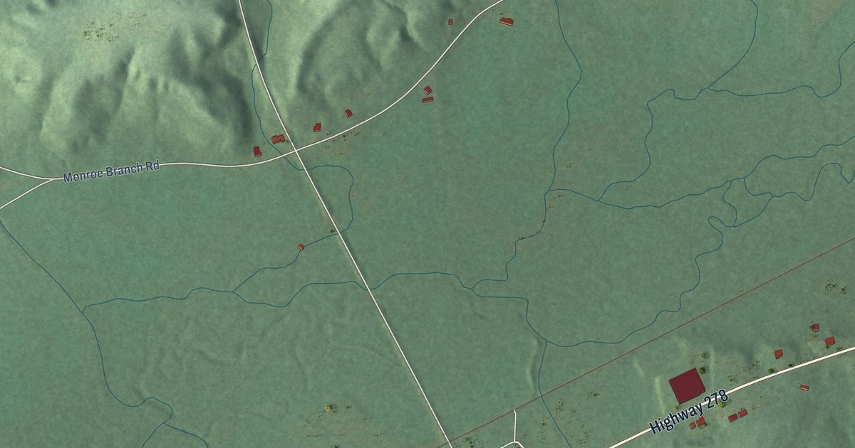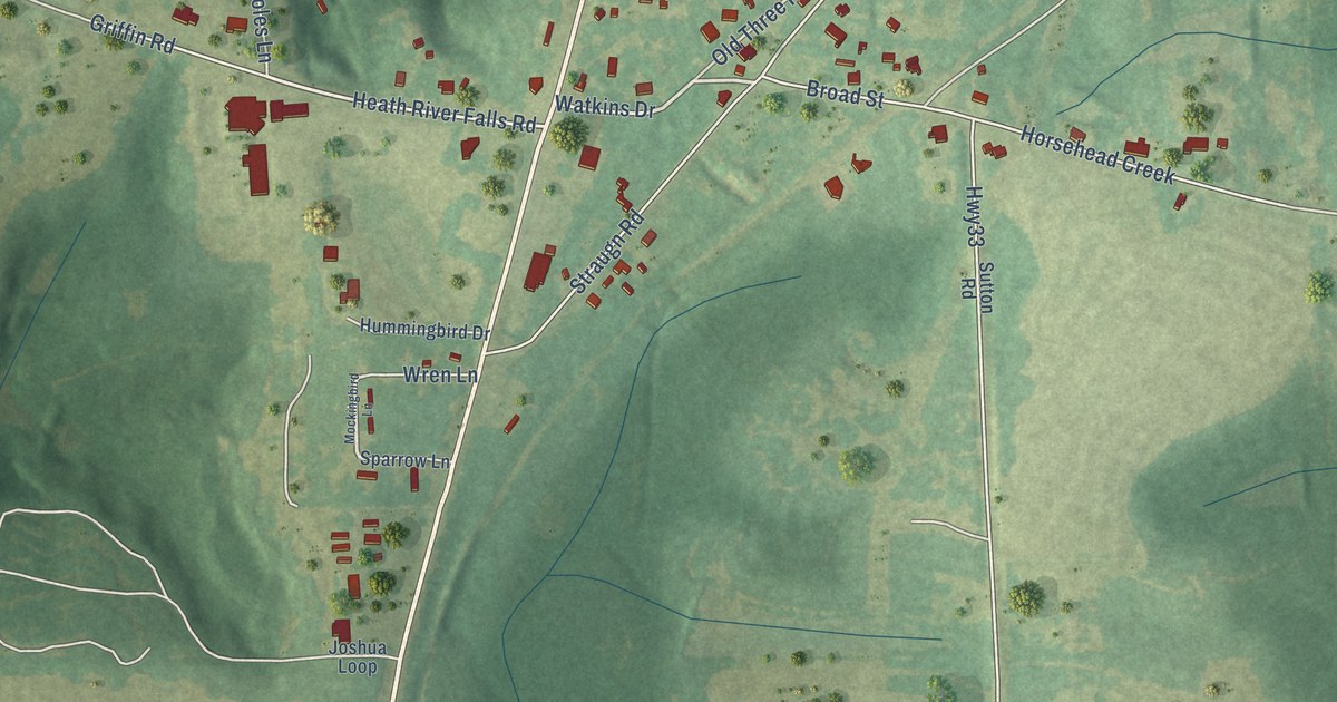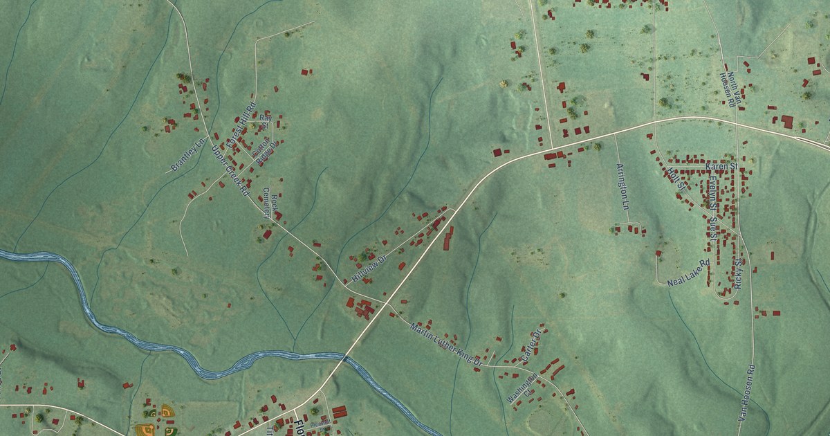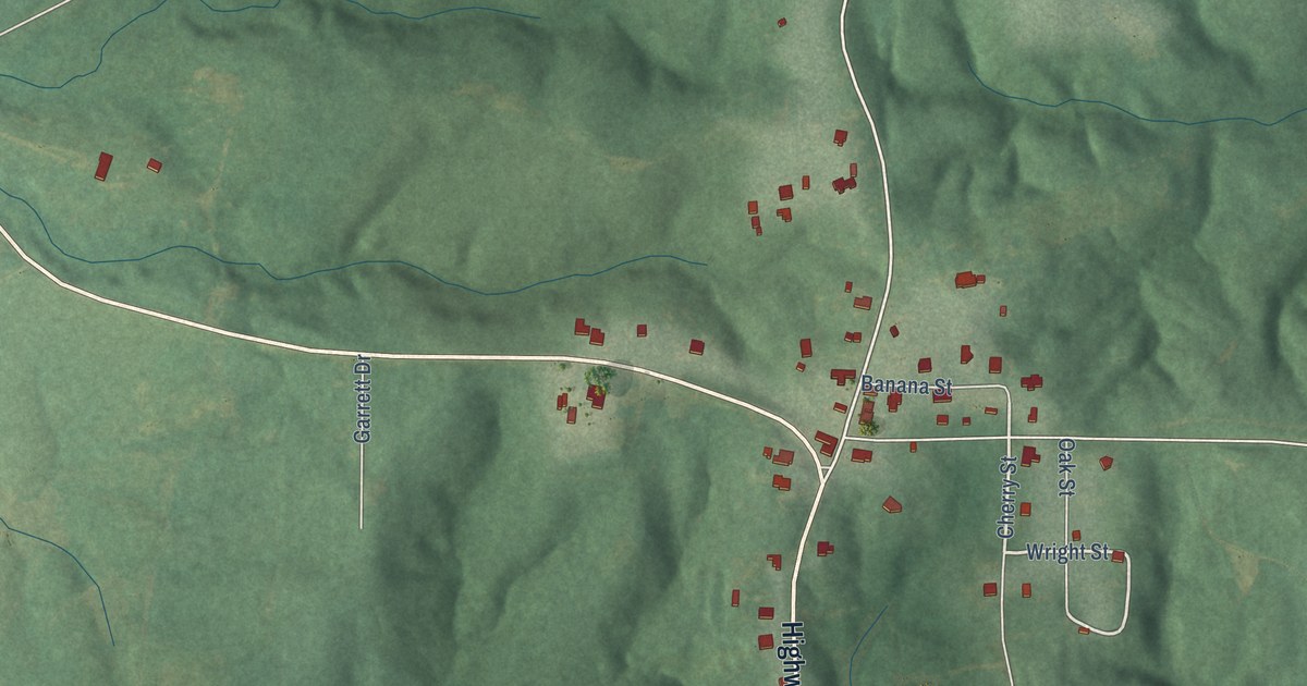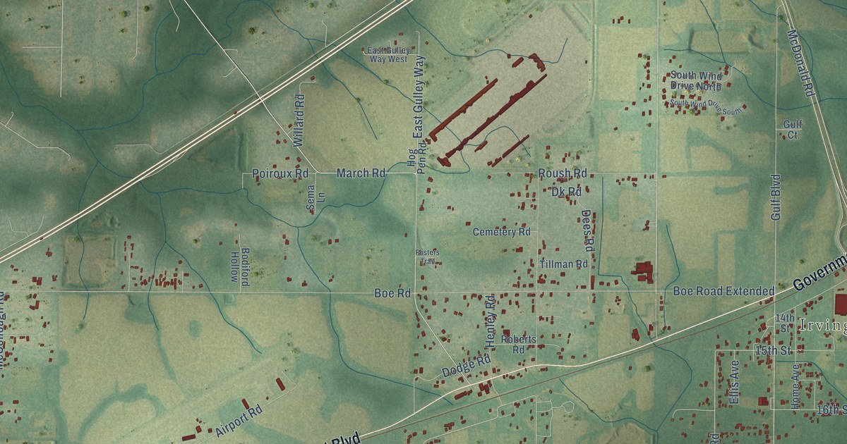
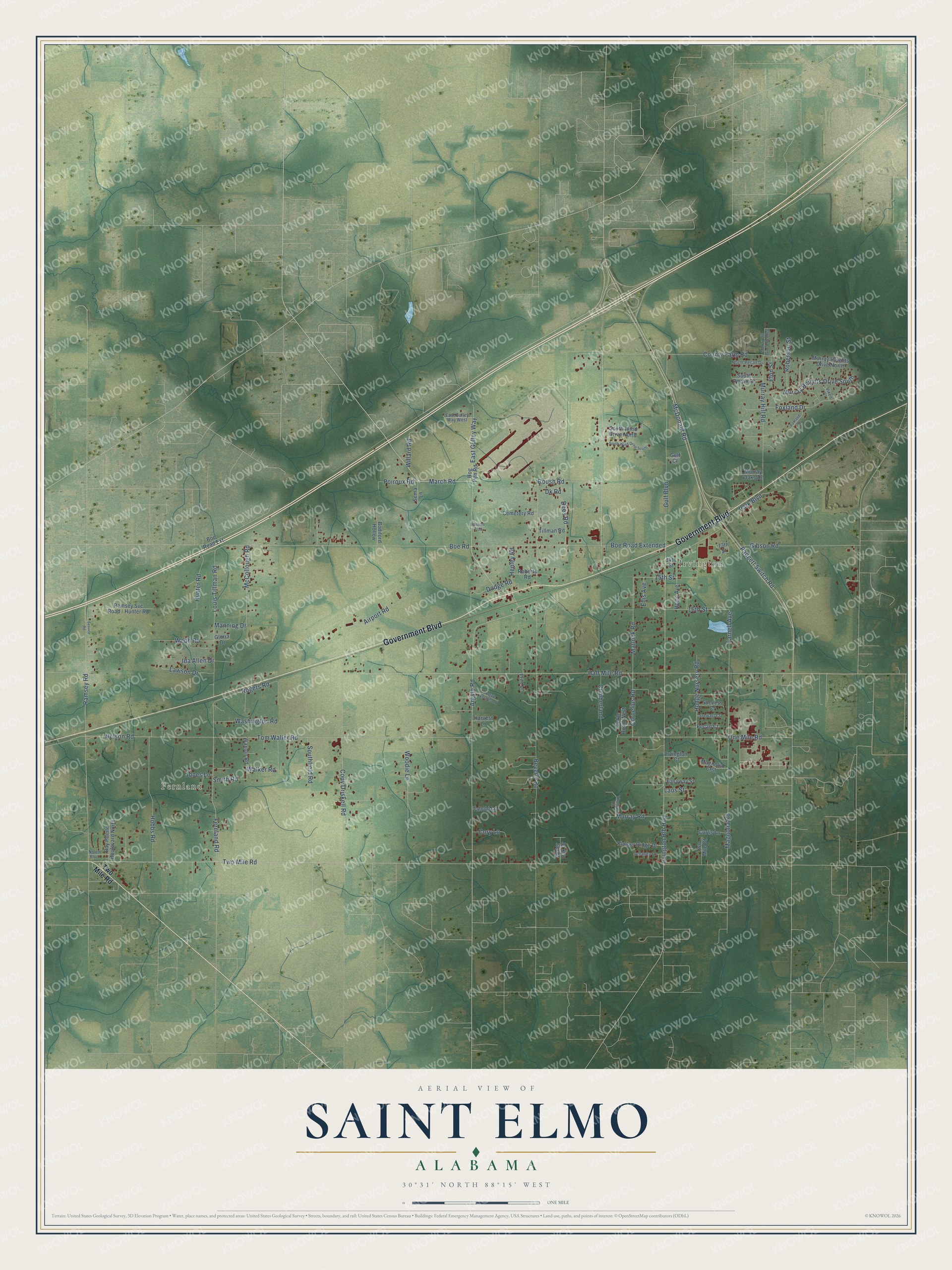
This beautifully detailed map of Saint Elmo, Alabama was created in 2026 using aerial imagery combined with modern topographical, census, street and landmark data. It’s a one-of-a-kind view of Saint Elmo that combines accurate data with a vintage aesthetic. The map shows every building in its true location, many of the roads carry their names, and the shaded topographic relief shows the shape of the land.
Explore an aerial view of Saint Elmo, Alabama
On the map you’ll find Fernland and Irvington, along with Government Boulevard, East Gulley Way, March Road, Cornelius Road, Argyle Road, Magnolia Road, McDonald Road, Padgett Switch Road, Fernland Road, Matlock Road, and more. If you look closely you can even find your house accurately drawn in its correct location. Zoom in on the preview to look for yours.
Take a closer look at the Saint Elmo map
Names on this map
These names are printed on this map.
Places: Fernland and Irvington.
Streets and roads: Government Boulevard, East Gulley Way, March Road, Cornelius Road, Argyle Road, Magnolia Road, McDonald Road, Padgett Switch Road, Fernland Road, Matlock Road, Half Mile Road, Boe Road.
More street names, A to Z
13th Street, 14th Street, 15th Street, 16th Street, Airport Road, Amanda Lane, Argyle Estates Road, Bay Pointe Boulevard North, Beverly Road, Bodiford Hollow, Boe Road Extended, Boe Road Extension, Cemetery Road, Cody Driskell Road, Cory Lane, County Farm Road, Cumberland, Curtis Lane, Dees Road, Dk Road, Dodge Road, East Gulley Way West, Easyway Street, Ellis Avenue, Elon Street, Farnell Avenue, Fosters Trail, Foxland Court, Foxland Drive, Fritz Lane, Gibson Road, Ginkle Road West, Gloria Drive, Gulf Boulevard, Gulf Court, Harvest Lane, Henley Road, Hobbs Road, Hodge Nursery Road, Hog Pen Road, Home Avenue, Hunter Road, Ida Allen Drive, Irvington Blb Highway, Irvington Court, Jones Lane, Kimber Ridge Drive, Laos Street, Lawson Drive, Louis Tillman Road, Magnolia Crst, Manning Drive, McCollough Road, Murray Heights Drive North, Murray Heights Drive South, Murray Hill Drive Extended, Murray Hill Road, Murray Oaks Drive, Murray Road, Nelson Road, Nolen Boulevard, North Pecan Drive, One Mile Road, Park Boulevard, Pecan Court, Poiroux Road, Ramsey Road, Roberson Street, Roberts Road, Rogers Road, Roush Road, Sema Lane, Service Road, Smith Road, Southfield Road, South Pecan Drive, South Wind Drive North, South Wind Drive South, Stewart Court, Success Court, Tahobi Lane, Thomas Road, Tillman Road, Tom Waller Road, Two Mile Court, Two Mile Road, Vixen Court, Walker Road, Washington Road, Water Oak Drive, Waxton Road, Webb Road, Willard Road, Woodie Lane.
See it on a wall
The Saint Elmo map as a framed print. Swipe for more.


This beautifully detailed map of Saint Elmo makes an attractive addition to your office, library, or den, and it can even be used to teach children the geography and history of the area. It also makes a great gift for someone who left Saint Elmo and still calls it home. When you’re done exploring, click here to get your copy of the Saint Elmo map.