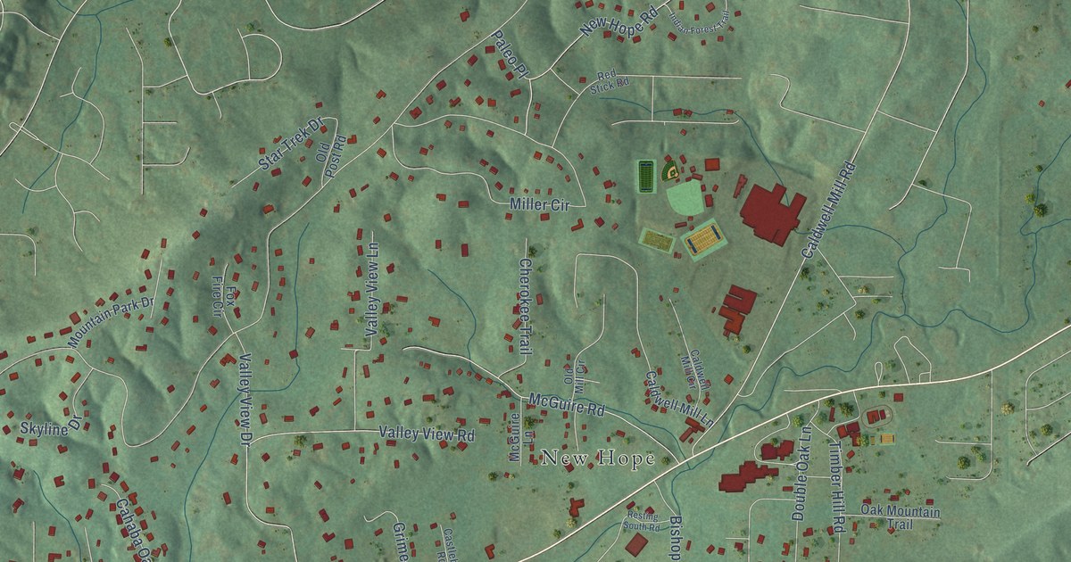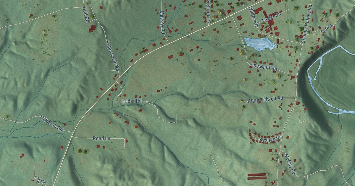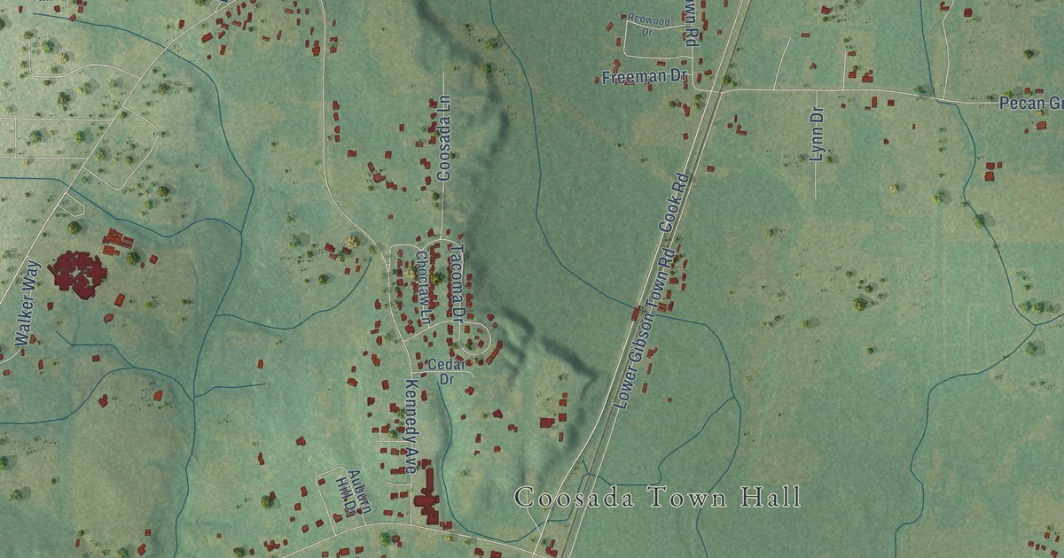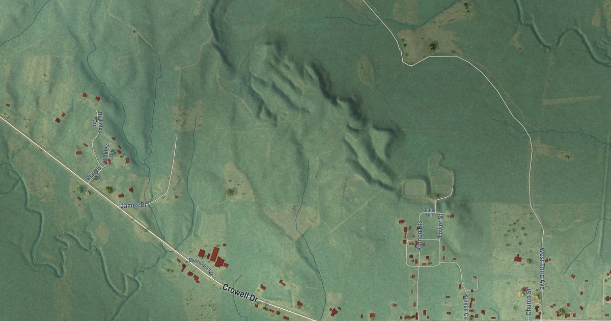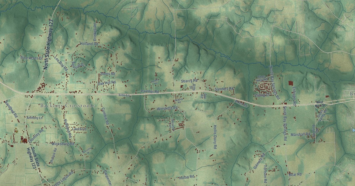
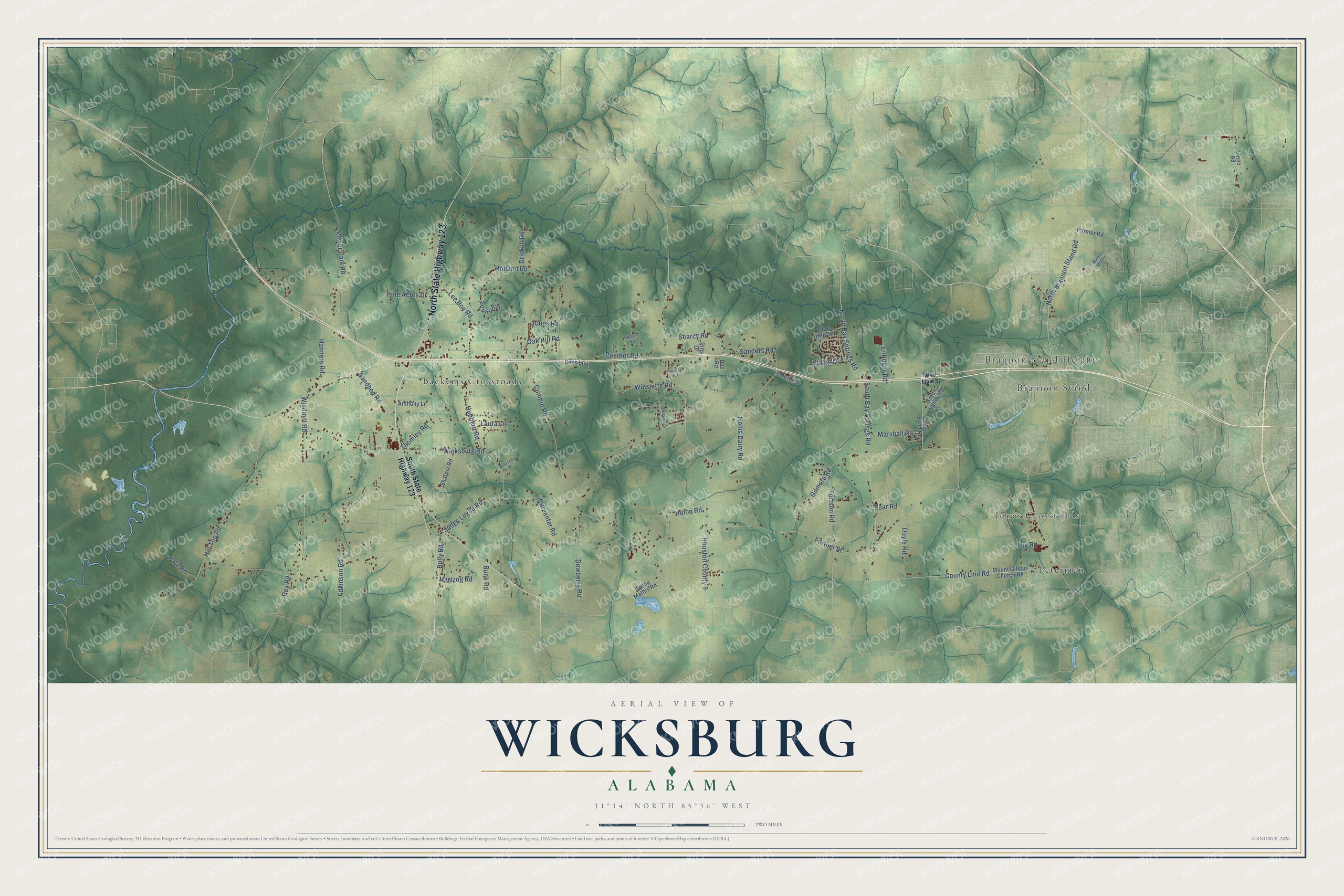
This beautifully detailed map of Wicksburg, Alabama was created in 2026 using aerial imagery combined with modern topographical, census, street and landmark data. It’s a one-of-a-kind view of Wicksburg that combines accurate data with a vintage aesthetic. The map shows every building in its true location, many of the roads carry their names, and the shaded topographic relief shows the shape of the land.
Explore an aerial view of Wicksburg, Alabama
On the map you’ll find Jones Crossroads, Backems Crossroads, Brannon Stand Heights, Peterman, Brannon Stand, and Houston County 9, along with North State Highway 123, North Bay Springs Road, South Bay Springs Road, Dewberry Road, North Brannon Stand Road, Sandbed Road, and more. If you look closely you can even find your house accurately drawn in its correct location. Zoom in on the preview to look for yours.
Take a closer look at the Wicksburg map
Names on this map
These names are printed on this map.
Places: Jones Crossroads, Backems Crossroads, Brannon Stand Heights, Peterman and Brannon Stand.
Streets and roads: North State Highway 123, North Bay Springs Road, South Bay Springs Road, Dewberry Road, Houston County 9, North Brannon Stand Road, Sandbed Road, Judge Logue Road, Fortner Street, Cumbie Road, Holland Road, Wicksburg Road.
More street names, A to Z
Adkinson Road, Albert Road, Anthony Lane, Bear Road, Beasley Road, Brazzelle Drive, Bully Road, Bunk Road, Carpenter Road, Choc Hills Road, County Line Road, Doc Road, Doyle Road, Driskell Road, Enfinger Road, Fortson Road, Foy Road, Gilmore Road, Green Valley Road, Hanners Road, Hartzog Road, Hill Top Road, Hollis Dairy Road, Holmes Road, Hosea Mathis Road, Hubbard Road, Hulon Road, Jones Road, Ken Lane, Laura Lane, Lee Boy Road, Lingo Road, Marshall Road, Mount Gilead Church Road, Murphy Mill Road, Oak Hill Road, Panther Road, Parmer Road, Pate Road, Pine Acres Drive, Pitts Drive, Power Dam Road, Rex Road, Sanders Road, Searcy Road, Sharpie Road, Sherwood Trail, Sims Lane, South State Highway 123, Squirrel Drive, Thomley Road, Vining Drive, West Main Street, Wg Bond Road, Windmill Road, Winslette Road.
See it on a wall
The Wicksburg map as a framed print. Swipe for more.


This beautifully detailed map of Wicksburg makes an attractive addition to your office, library, or den, and it can even be used to teach children the geography and history of the area. It also makes a great gift for someone who left Wicksburg and still calls it home. When you’re done exploring, click here to get your copy of the Wicksburg map.