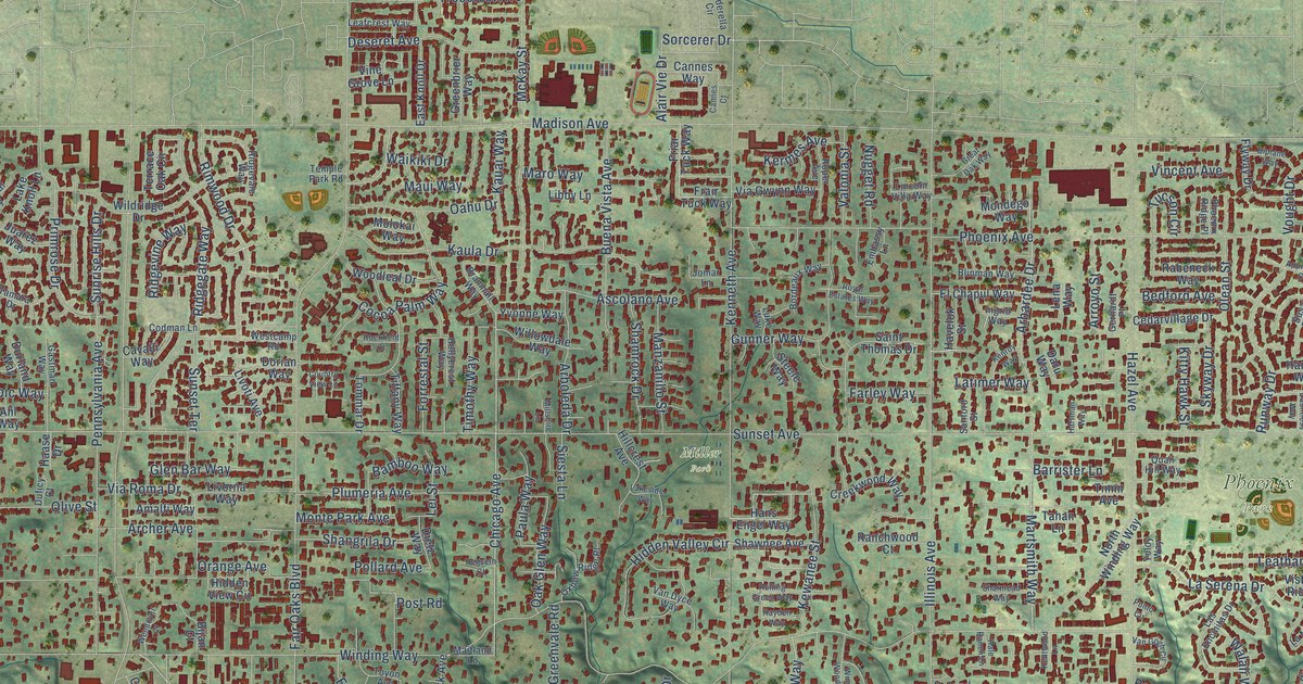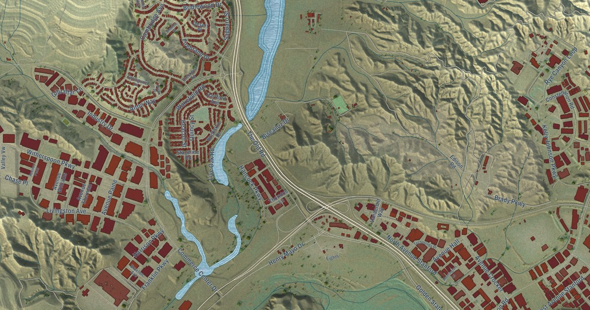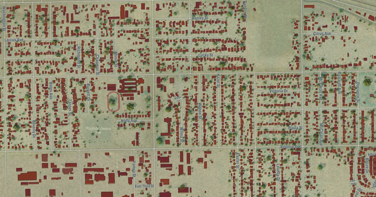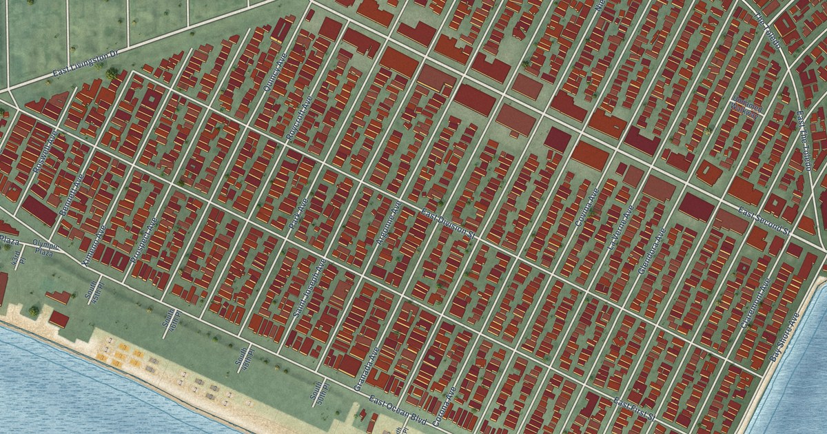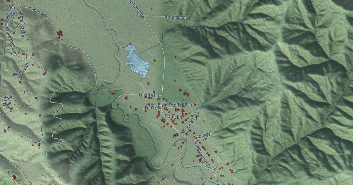
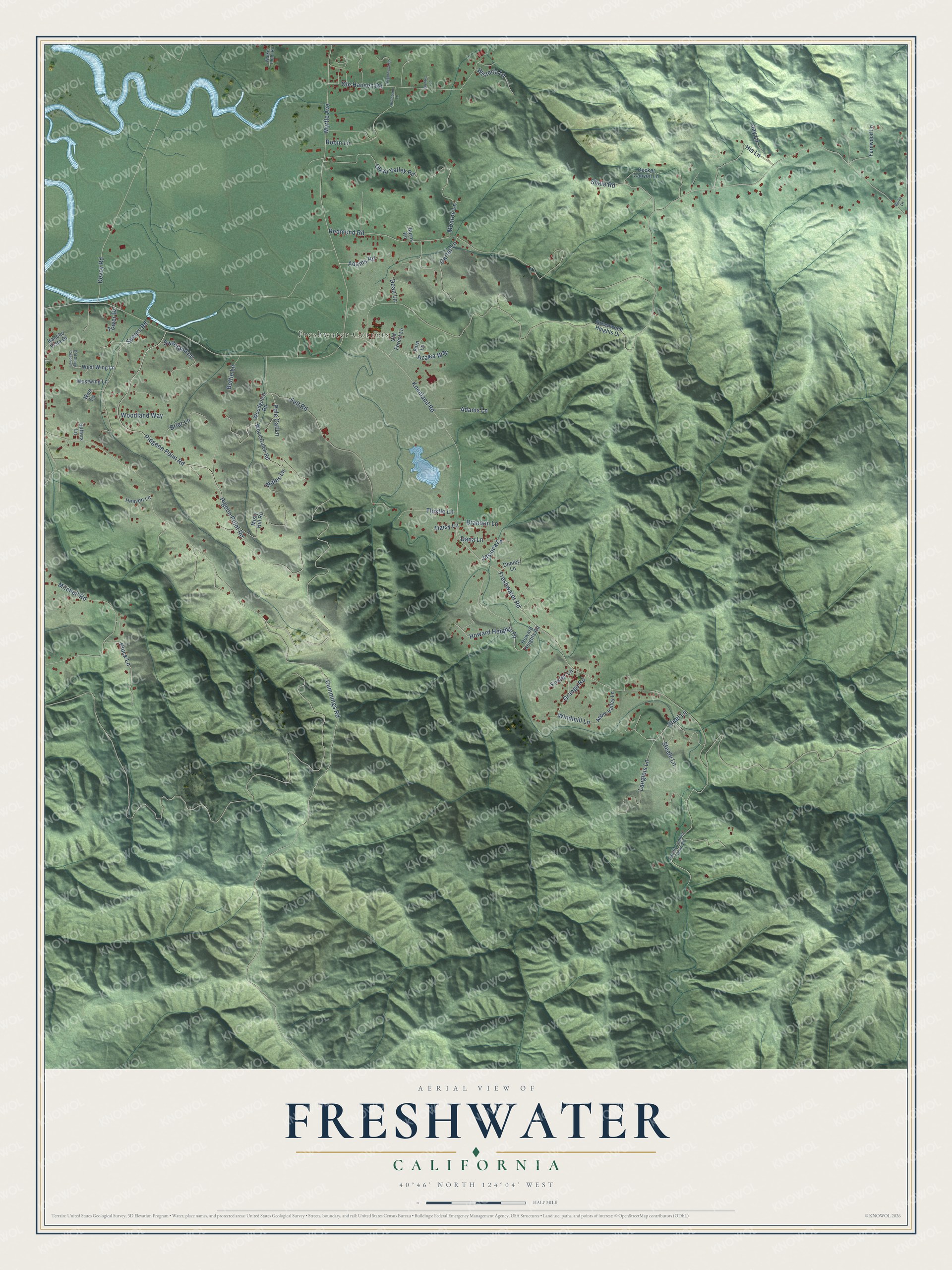
This beautifully detailed map of Freshwater, California was created in 2026 using aerial imagery combined with modern topographical, census, street and landmark data. It’s a one-of-a-kind view of Freshwater that combines accurate data with a vintage aesthetic. The map shows every building in its true location, many of the roads carry their names, and the shaded topographic relief shows the shape of the land.
Explore an aerial view of Freshwater, California
On the map you’ll find Freshwater Corners, along with Freshwater Road, Cummings Road, Kneeland Road, Myrtle Avenue, Pidgeon Point Road, Pigeon Point Road, Redmond Road, Mitchell Road, Felt Road, Ole Hansen Road, Langlois Lane, and more. If you look closely you can even find your house accurately drawn in its correct location. Zoom in on the preview to look for yours.
Did You Know?
From Internet Archive: "In 1867 he settled on the Freshwater, eight miles northwest from what is now the thriving town of Williams."
Freshwater is a community in Humboldt County.
Take a closer look at the Freshwater map
Names on this map
These names are printed on this map.
Places: Freshwater Corners.
Streets and roads: Freshwater Road, Cummings Road, Kneeland Road, Myrtle Avenue, Pidgeon Point Road, Pigeon Point Road, Redmond Road, Mitchell Road, Felt Road, Ole Hansen Road, Langlois Lane, Spears Road.
More street names, A to Z
Adams Lane, Adams Road, Apple Valley Lane, Azalea Way, Bettie Lane, Bowles Lane, Brandon Lane, Brier Lane, Brightwood Lane, Burke Lane, Burns Road, Carter Lane, Daisy Lane, Dana Lane, Dean Lane, Decker Canyon Lane, Devoy Road, Dooley Lane, Fern Lane, Fernwood Lane, Foster Lane, Grange Road, Greenwood Heights Drive, Heaven Lane, His Lane, Howard Heights Drive, Howard Heights Road, Jay Lane, Jessica Lane, Kluck Lane, Misty Hill Road, Monroe Lane, Old Forest Lane, Old Stage Coach Lane, Pacific Lumber Camp Road, Pole Cat Lane, Quail Valley Road, Rancho Vista Drive, Robin Lane, Rosebank Lane, Shale Road, Steele Lane, Steel Lane, Sutters Lane, Swanland Lane, Thistle Lane, Tower Drive, Wales Lane, Walker Point Road, West Wing Lane, Westwing Lane, Windmill Lane, Wisteria Lane, Wolf Lane, Wood Gulch Road, Woodgulch Road, Woodland Way.
See it on a wall
The Freshwater map as a framed print. Swipe for more.


This beautifully detailed map of Freshwater makes an attractive addition to your office, library, or den, and it can even be used to teach children the geography and history of the area. It also makes a great gift for someone who left Freshwater and still calls it home. When you’re done exploring, click here to get your copy of the Freshwater map.