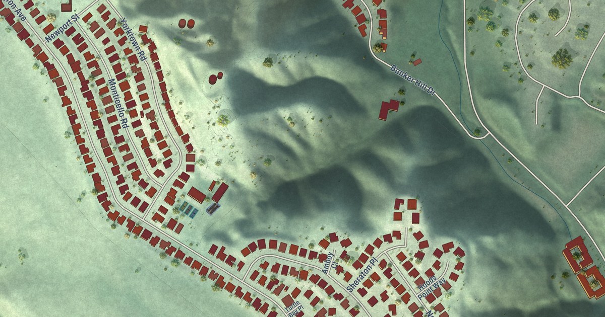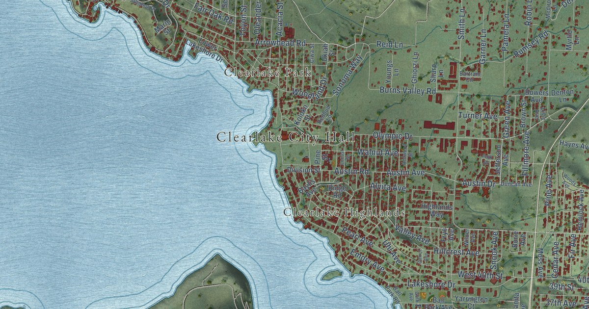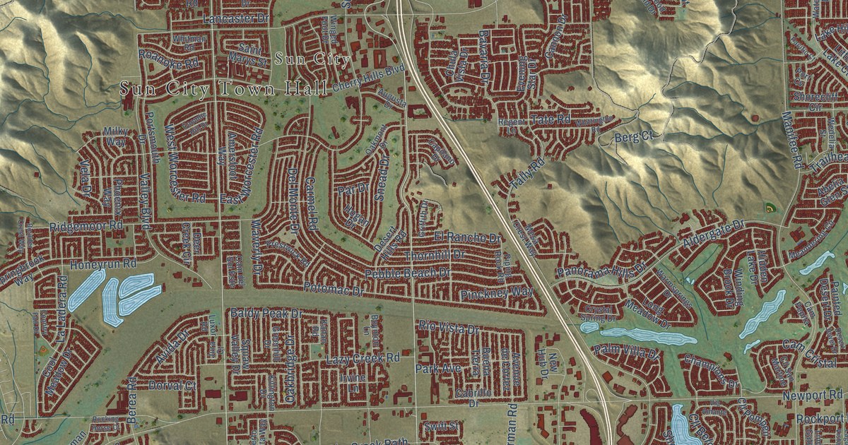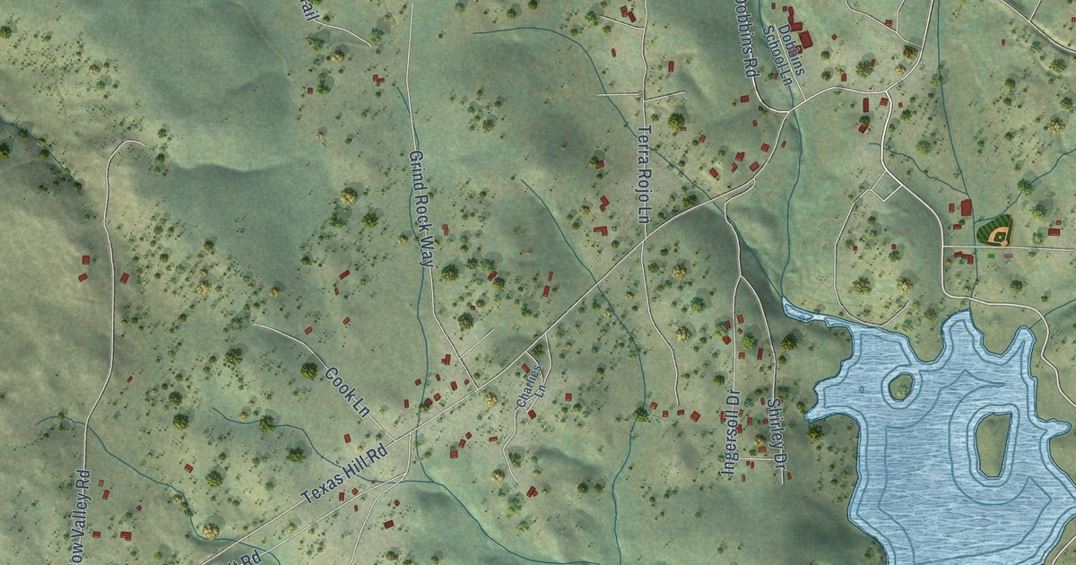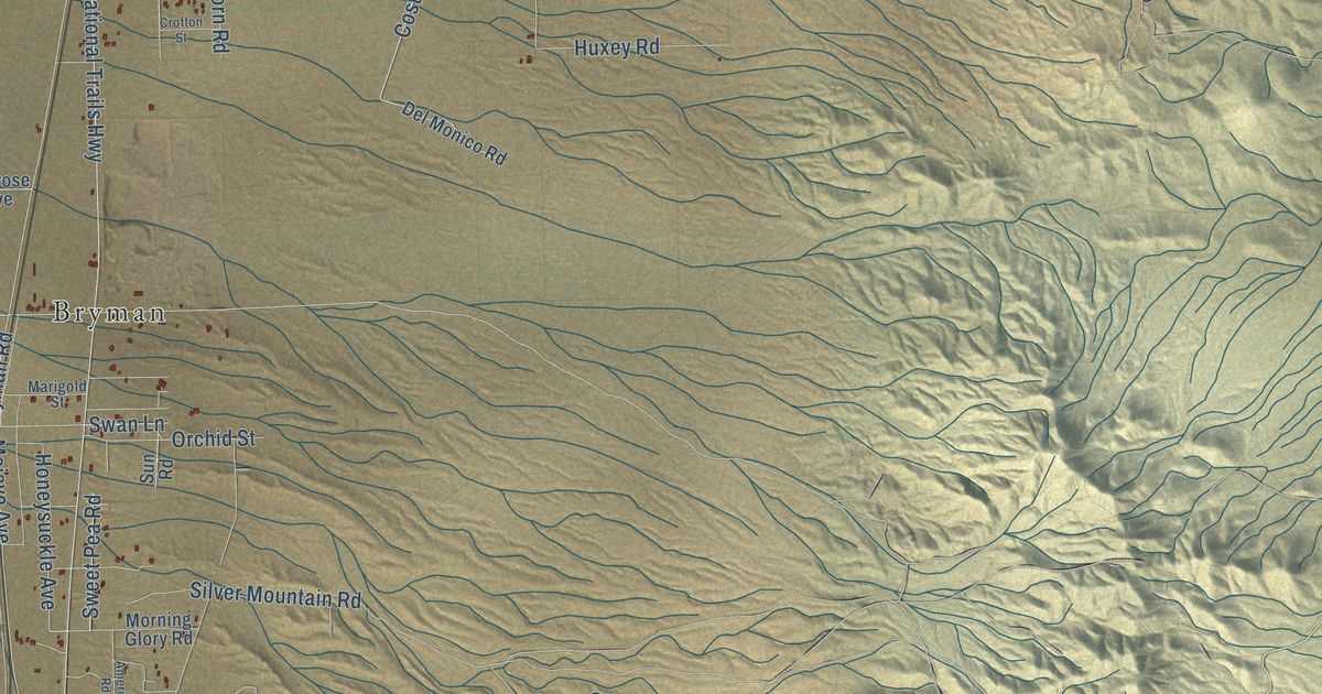
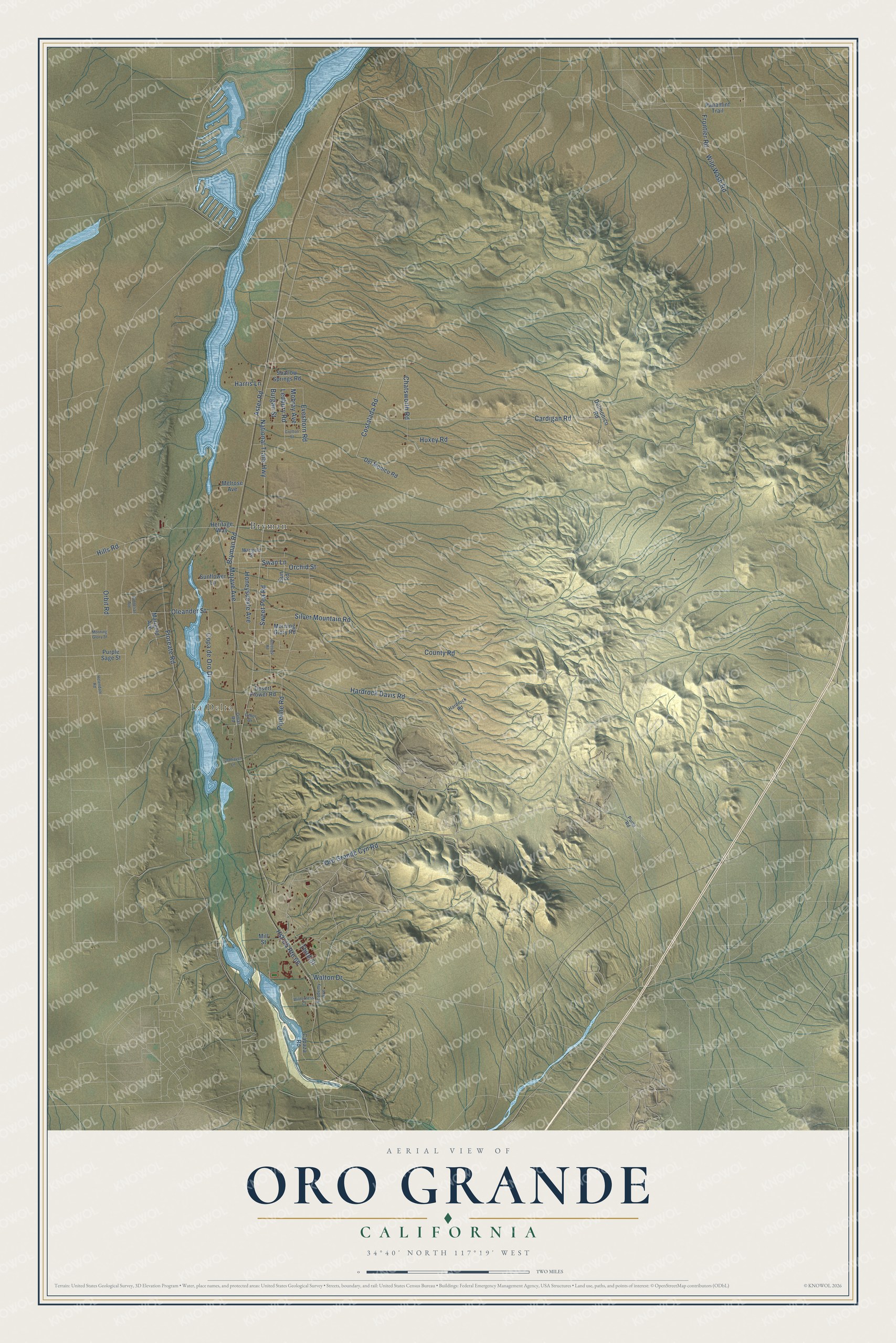
This beautifully detailed map of Oro Grande, California was created in 2026 using aerial imagery combined with modern topographical, census, street and landmark data. It’s a one-of-a-kind view of Oro Grande that combines accurate data with a vintage aesthetic. The map shows every building in its true location, many of the roads carry their names, and the shaded topographic relief shows the shape of the land.
Explore an aerial view of Oro Grande, California
On the map you’ll find La Delta and Bryman, along with Aster Road, Bryman Road, Honeysuckle Avenue, Hills Road, National Trails Highway, Cardigan Road, Silver Mountain Road, Oro Grande Cyn Road, Hardrock Davis Road, Costalada Road, and more. If you look closely you can even find your house accurately drawn in its correct location. Zoom in on the preview to look for yours.
Did You Know?
From Internet Archive: "Smelters are established at Victor and Oro Grande and a number of stamp mills are engaged in crushing ore."
Oro Grande is a community in San Bernardino County.
Take a closer look at the Oro Grande map
Names on this map
These names are printed on this map.
Places: La Delta and Bryman.
Streets and roads: Aster Road, Bryman Road, Honeysuckle Avenue, Hills Road, National Trails Highway, Hst US Route 66, Cardigan Road, Silver Mountain Road, Oro Grande Cyn Road, Hardrock Davis Road, Costalada Road, Oleander Street.
More street names, A to Z
Academy Avenue, Amerigo Road, Burgan Street, Capaza Road, Carnelian Avenue, Chatsworth Road, Copa de Oro Drive, County Road, Crofton Street, Del Monico Road, Delmonico Road, Desert Flower Road, Eveshorn Road, Floreate Road, Frontier Road, Hardrock Road, Harris Lane, Helendale Road, Heritage Way, Huxey Road, Ledbury Road, Lynnhaven Lane, Marigold Avenue, Marigold Street, Melrose Avenue, Mill Street, Mobray Avenue, Mojave Avenue, Morning Glory Road, Morning Glory Street, Omar Road, Omor Drive, Orbit Road, Orchid Street, Panamint Trail, Pipeline Road, Puma Road, Purple Sage Street, Shallow Springs Road, Sunflower Lane, Sun Road, Swan Lane, Sweet Pea Road, Third Street, Walton Drive, Wilderness Court, Wild Wash Road.
See it on a wall
The Oro Grande map as a framed print. Swipe for more.


This beautifully detailed map of Oro Grande makes an attractive addition to your office, library, or den, and it can even be used to teach children the geography and history of the area. It also makes a great gift for anyone with Oro Grande roots. When you’re done exploring, click here to get your copy of the Oro Grande map.