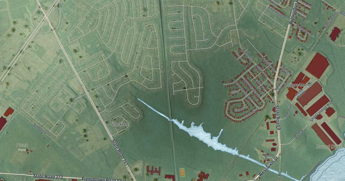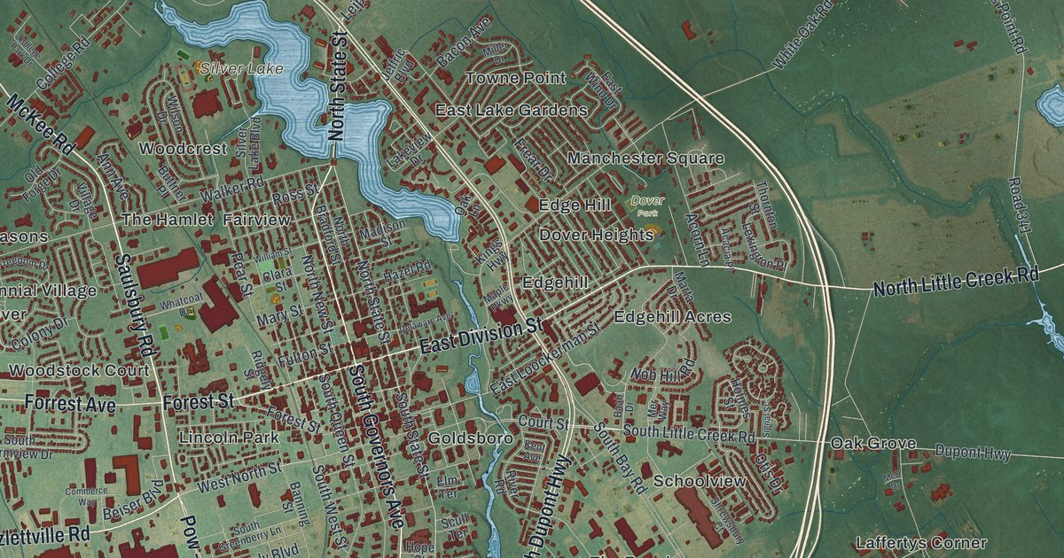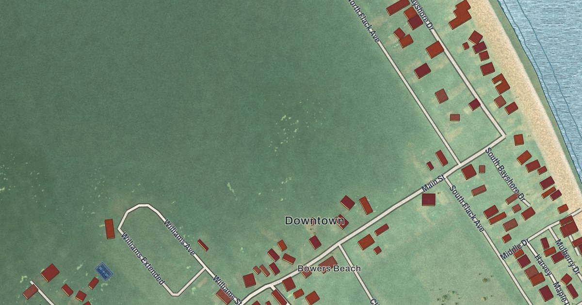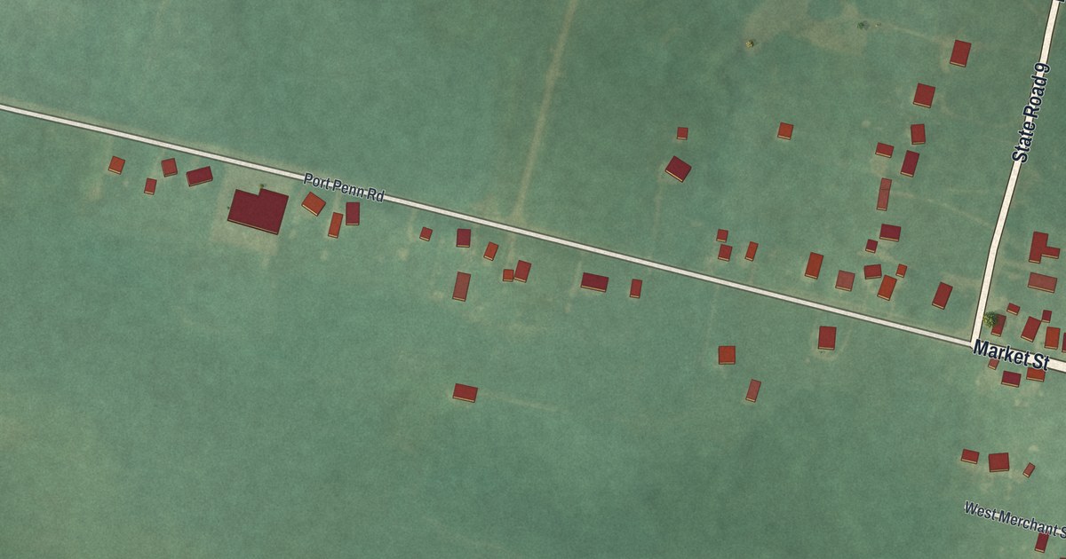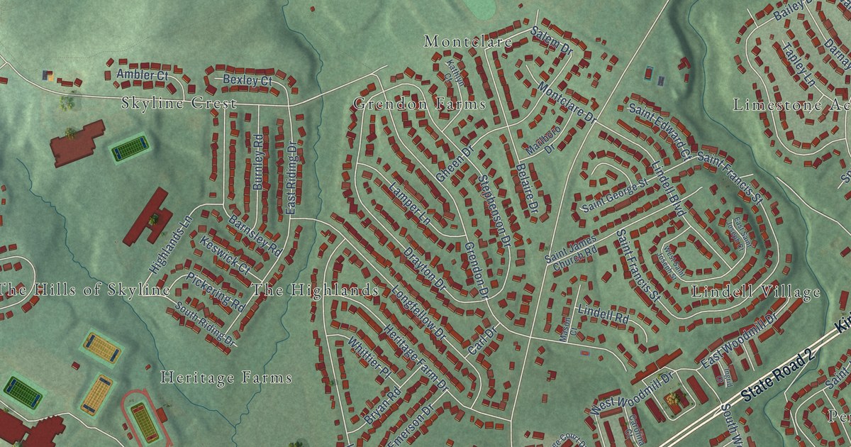
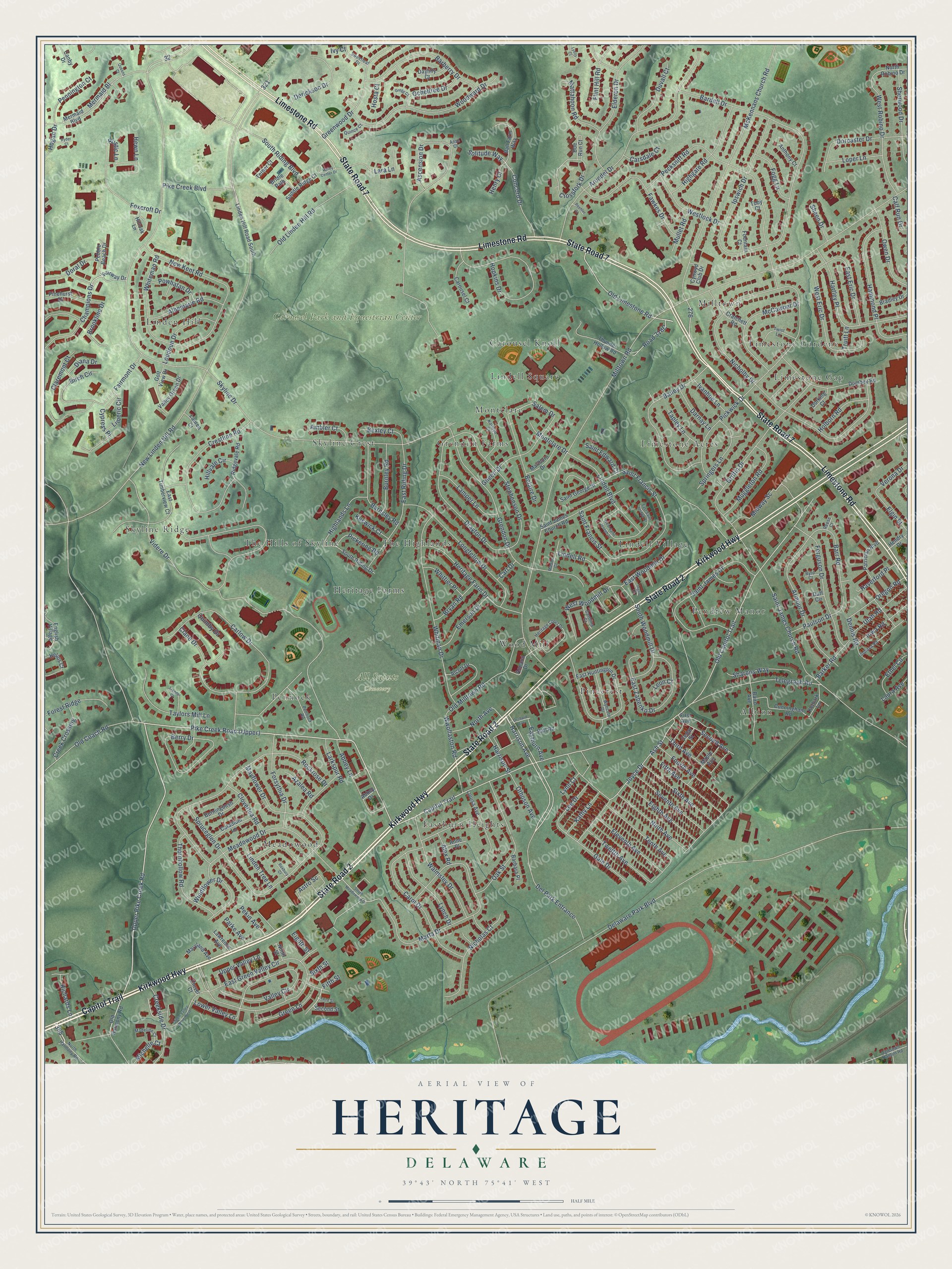
This beautifully detailed map of Heritage, Delaware was created in 2026 using aerial imagery combined with modern topographical, census, street and landmark data. It’s a one-of-a-kind view of Heritage that combines accurate data with a vintage aesthetic. The map shows every building in its true location, many of the roads carry their names, and the shaded topographic relief shows the shape of the land.
Explore an aerial view of Heritage, Delaware
On the map you’ll find All Saints Cemetery, Carousel Park and Equestrian Center, Albion, Limestone Gardene, Meadowood, Limestone Acres, Wood Mill, Linden Hill, Skyline Ridge, Lindell Village, Skyline Crest, Eastburn Heights, and more. If you look closely you can even find your house accurately drawn in its correct location. Zoom in on the preview to look for yours.
Did You Know?
From Elizabeth Waterston’s 1925 Churches in Delaware During the Revolution: "Early that Delaware was not only the first province in America, but the first country in the world to make a special enactment for the prohibition of 5 Early, Heritage of the South, p. 30. 2 Applegarth, Quakers in Pennsylvania, p. 79. 3 Jones, p. 518. 4 Bowden, Vol."
Heritage is a community in New Castle County.
Take a closer look at the Heritage map
Names on this map
These names are printed on this map.
Places: All Saints Cemetery, Carousel Park and Equestrian Center, Albion, Limestone Gardene, Meadowood, Limestone Acres, Wood Mill, Linden Hill, Skyline Ridge, Lindell Village, Skyline Crest, Eastburn Heights, Grendon Farms, The Hills of Skyline, Carousel Knoll, Pennock, Milltown, The Highlands, Pendrew Manor, Montclare, Pinecrest, Heritage Farms, Lindell Square and Limestone Gap.
Streets and roads: Kirkwood Highway, State Road 2, Capitol Trail, State Road 7, Limestone Road, Upper Pike Creek Road, Harrison Avenue, Del Park Entrance, Old Limestone Road, Old Capitol Trail, Wwollaston Road, Salem Drive.
More street names, A to Z
Abbey Drive, Abbey Lane, Albemarle Road, Alcott Drive, Alex Road, Ambler Court, Annand Drive, Anne Place, Anse Court, Anthony Court, Armour Drive, Arundel Drive, Ascension Drive, Ash Street, Astro Sc, Azalea Road, Bailey Drive, Baird Avenue, Ball Farm Way, Ball Road, Barbara Place, Barberry Drive, Bardell Drive, Barker Road, Barnsley Road, Barr Road, Beehler Court, Belaire Drive, Berry Drive, Bexley Court, Birch Circle, Bradley Drive, Bridle Path, Brookline Drive, Bryan Road, Burningbush Drive, Burnley Road, Byrd Court, Caladium Lane, Calf Run Drive, Canby Drive, Carl Drive, Carlow Drive, Carol Drive, Carolina Court, Carousel Court, Carsdale Court, Cedar Street, Champions Drive, Clane Drive, Claremont Court, Clover Court, Cloverlea Road, Concord Drive, Cratchett Road, Creek Crossing, Creekside Drive, Crestline Road, Crossfork Drive, Cunningham Road, Cynwyd Club Drive, Cypress Place, Darnay Lane, Daylilly Court, Delaware Park Boulevard, Dennis Road, Derickson Drive, Diana Drive, Doe Run Court, Dombey Road, Doral Drive, Dorcaster Drive, Dorking Court, Drayton Drive, Duff Circle, Duvall Court, Eastburn Avenue, East Eric Drive, East Green Valley Circle, East Huntington Drive, East Riding Drive, East Saint Joseph Court, East Timberview Court, East Woodmill Drive, East Zabenko Drive, Eighth Avenue, Eighth Street, Elderon Drive, Eleventh Avenue, Elgin Street, Emerson Drive, English Village, Ethel Circle, Fairmont Drive, Fairway Drive, Fawkes Drive, Ferguson Drive, Fifth Avenue, Fifth Street, First Avenue, Flint Hill Road, Fogg Lane, Forest Ridge, Forsythia Drive, Fountain Court, Fourth Avenue, Foxcroft Drive, Gale Drive, Gheen Drive, Golf View Drive, Green Lane, Green Valley Drive West, Greenwood Drive, Gregg Court, Grendon Drive, Griffin Drive, Hammond Place, Harrison Street, Hartley Place, Haverford Place, Helios Court, Hendry Drive, Henry Court, Heritage Court Drive, Heritage Farm Drive, Hewn Lane, Highgate Road, Highlands Lane, Hilloak Lane, Hillvale Circle, Hogan Drive, Holborn Road, Hopkins Drive, Hosta Court, Indiana Road, Ingrid Court, Iowa Road, Ipswich Drive, Ivanhoe Lane, Ivy Court, Joyce Drive, Kathlyn Court, Kathy Lane, Kelbark Lane, Keswick Court, Lamper Lane, Lara Lane, Larkspur Road, Laura Avenue, Lauren Court, Lawrence Avenue, Lee Drive, Leon Court, Limeric Circle, Lindell Boulevard, Lindell Road, Linden Hill Road South, Linden Tree Lane, Longfellow Drive, Loper Lane, Loudoun Drive, Louisa Avenue, Lower Valley Lane, Lyells Court, Lynch Drive, Lynn Court, Madeline Court, Maple Avenue, Marlboro Drive, Marta Drive, Maryland Avenue, Mason Court, Mattahoon Road, Mayflower Drive, McCawber Drive, McKennans Church Road, Meadowood Drive, Mermaid Bl, Mermaid Boulevard, Michelle Court, Midway Sc, Milltown Road, Montclare Drive, Muggleton Road, Mullet Road, New Kent Road, New Linden Hill Road, Nicholas Court, Nicholby Drive, Ninth Avenue, Ninth Street, North Avenue, North Harmony Road, North Robino Drive, Oak Street, Ocheltree Drive, Ogletown Stanton Road, Old Coach Road, Old Harmony Road, Old Linden Hill Road, Old Milltown Road, Orchard Avenue, Oregon Road, Othoson Avenue, Owen Drive, Parke Avenue, Patrician Boulevard, Paulson Drive, Pebble Beach Drive, Pecksniff Road, Pekin Avenue, Pennington Court, Pennock Road, Pickering Road, Pickwick Drive, Pike Creek Boulevard, Pinehurst Drive, Powhatan Drive, Queens Court, Quimby Drive, Quince Court, Reese Court, Richards Lane, Ridgevale Road, Rockrose Drive, Roxbury Court, Rustic Lane, Ryder Court, Saddle Ridge Court, Saint Edward Court, Saint Francis Street, Saint George Street, Saint James Church Road, Saint James Drive, Second Avenue, Second Street, Seventh Avenue, Sharons Way, Sheen Drive, Sherwood Drive, Sixth Avenue, Sixth Street, Skyline Drive, Solitude Way, South Meadowood Drive, South Riding Boulevard, South Riding Drive, South Woodmill Drive, Springers Lane, Spruceglen Drive, Stephenson Drive, Sweetleaf Drive, Tapley Lane, Taylors Mill Lane, Telegraph Road, Tenth Avenue, Tether Court, Third Avenue, Third Street, Thornhollow Road, Thunder Hollow Road, Toby Court, Trender Court, Truitt Lane, Twelfth Avenue, Twist Lane, Upper Valley Lane, Utah Road, Valley Center Drive, Valley Circle, Valley Green Drive, Verona Drive, Videre Drive, Walmsley Drive, West Eric Drive, Westlock Drive, West Robino Drive, West Saint Joseph Street, West Woodmill Drive, Whiteman Road, Whitman Drive, Whittier Place, Windflower Drive, Woodward Drive, Wyncote Drive.
See it on a wall
The Heritage map as a framed print. Swipe for more.


This beautifully detailed map of Heritage makes an attractive addition to your office, library, or den, and it can even be used to teach children the geography and history of the area. It also makes a great gift for anyone who grew up in Heritage or moved away. When you’re done exploring, click here to get your copy of the Heritage map.