


Delaware Town Maps A to Z
All 94 town maps, from Arden to Wyoming. Each one opens its own page with the whole map.
A
B
C
D
E
F
G
H
K
L
M
N
O
P
R
S
T
V
W
Don’t see your town? Ask us to draw it.
About Delaware
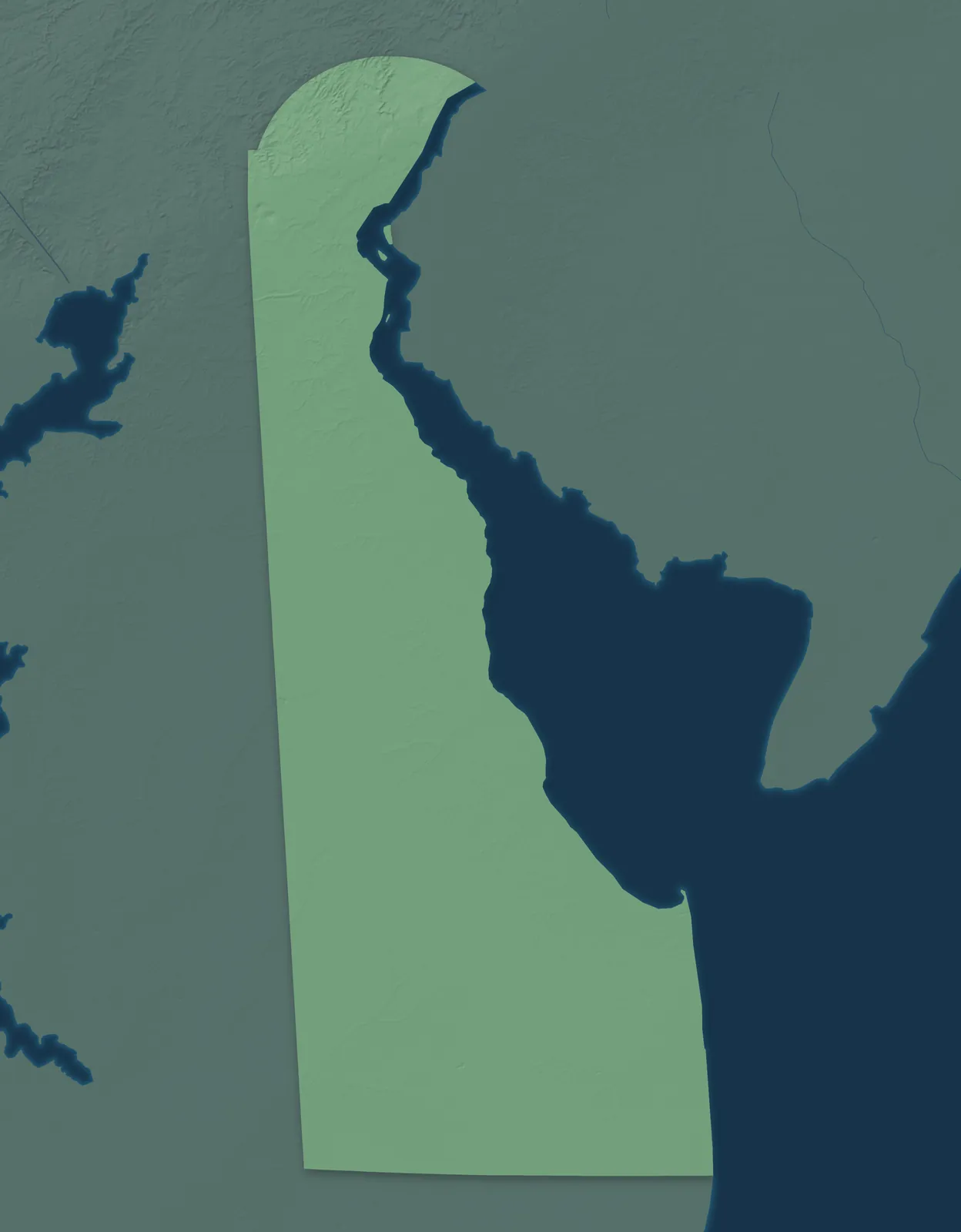
Delaware's rounded northern border is an arc drawn 12 miles out from the old courthouse in New Castle. Below the rolling hills near Wilmington, the land flattens into farm fields and marsh along Delaware Bay and ends at the Atlantic beaches. On December 7, 1787, delegates at a tavern in Dover voted unanimously for the new U.S. Constitution, and Delaware became the first state to ratify it. That's why it's called the First State.
Most Delawareans live in New Castle County, around Wilmington and Newark. Wilmington grew with the flour mills along the Brandywine. Farther south, many towns began as landings on creeks that run to the bay. Others grew up along the Delaware Railroad, which reached Delmar on the Maryland line in 1859. The Nanticoke and Lenape peoples lived here long before Europeans came, and both tribes are still based near Millsboro and Cheswold.
- Statehood
- December 7, 1787
- Capital
- Dover
- Population
- 1,059,9522025 Census estimate
- Highest point
- Ebright Azimuth, 449 feet
- Lowest point
- Atlantic Ocean, sea level
- Size
- 2,489 square miles, the 49th largest state
Wilmington and New Castle County
Wilmington, Newark, Middletown, Bear and Hockessin fill Delaware's northern county. It runs from the hills of the Brandywine Valley down to flat farm country south of the Chesapeake and Delaware Canal. Swedish settlers landed at the Rocks on the Christina River in 1638 and built Fort Christina where Wilmington began. In 1802, E. I. du Pont started building gunpowder mills on the Brandywine, and they're now the Hagley Museum. Down the river, William Penn first set foot in America at New Castle in 1682.


Dover and Kent County
Dover, Smyrna, Camden, Clayton and Harrington sit in the farm country of central Delaware. Marshes and old fishing towns such as Bowers Beach line the bay. Dover was laid out around its Green in 1717 and became the state capital in 1777. In 1776, Caesar Rodney rode all night from Dover to Philadelphia through thunder and rain to vote for independence. His ride is on Delaware's state quarter. The fair that opened at Harrington in 1920 grew into today's Delaware State Fair.


Sussex County and the Beaches
Sussex, the largest county, runs from the farm country around Seaford and Laurel to Lewes, Rehoboth Beach and Bethany Beach on the ocean. Dutch settlers started a whaling colony at Lewes in 1631, so the town calls itself the First Town in the First State. Every two years, two days after Election Day, the winners ride around the Circle in Georgetown in horse-drawn carriages. Then party leaders bury a hatchet in sand. In 1939, DuPont opened the world's first nylon plant at Seaford.


- 12 × 18 inPrint $39.99Framed $89.99
- 18 × 24 inPrint $49.99Framed $129.99
- 24 × 36 inPrint $89.99Framed $199.99

Sizes and Prices
Every map comes in three sizes on archival matte paper. Framed prints come in black or white wood.
How each map is made
It starts with the real place
Streets, buildings, terrain and water form the map, drawn the way Delaware looks today.
Then the details
Local research and an old atlas style give each town its character.
Then it's yours
Look around the map, then pick a print to keep or give.
















