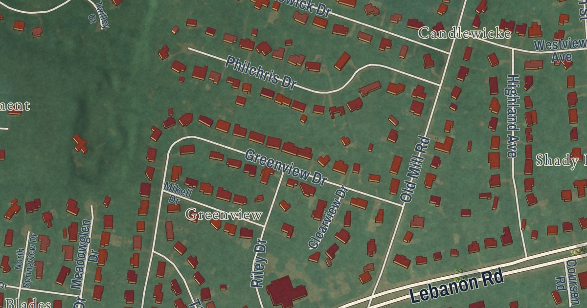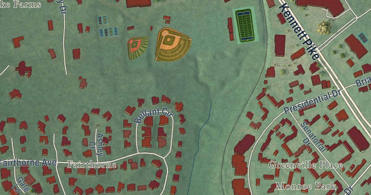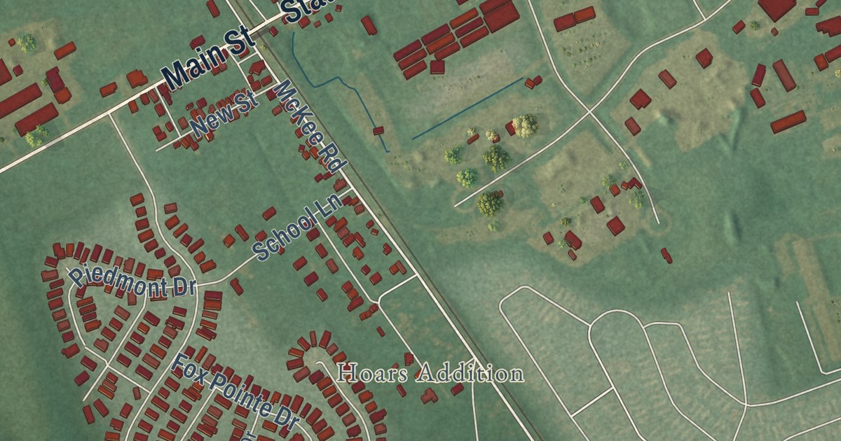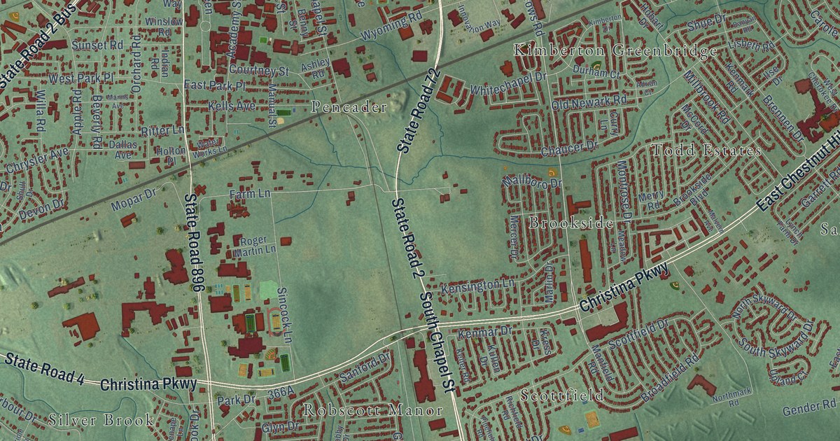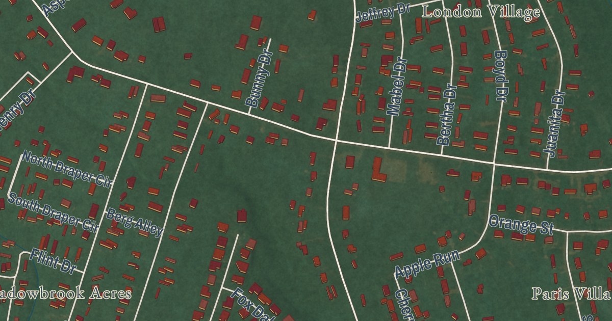
This beautifully detailed map of Woodside East, Delaware was created in 2026 using aerial imagery combined with modern topographical, census, street and landmark data. It’s a one-of-a-kind view of Woodside East that combines accurate data with a vintage aesthetic. The map shows every building in its true location, many of the roads carry their names, and the shaded topographic relief shows the shape of the land.
Explore an aerial view of Woodside East, Delaware
On the map you’ll find Alexanders Village, Bork Acres, Breezewood, London Village, Meadowbrook Acres, Normansmeade, and Paris Villa, along with South Dupont Highway, State Road 10 Alt, Walnut Shade Road, East Pebworth Road, Millchop Lane, and more. If you look closely you can even find your house accurately drawn in its correct location. Zoom in on the preview to look for yours.
Take a closer look at the Woodside East map
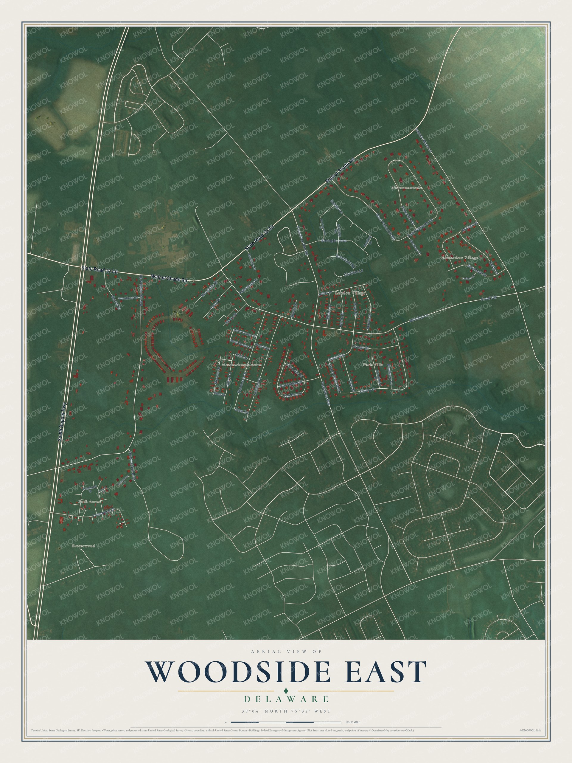
Street and place names on the Woodside East, Delaware map
These names are printed on the map of Woodside East, Delaware.
Places: Meadowbrook Acres, Normansmeade, Breezewood, London Village, Paris Villa, Alexanders Village and Bork Acres.
Streets and roads: South Dupont Highway, State Road 10 Alt, Walnut Shade Road, Millchop Lane, Barney Jenkins Road, Peachtree Run Road, Peachtree Run, Autumn Moon Lane, Cherry Drive, Road 368, Lambert Drive, East Pebworth Road.
More street names, A to Z
Apple Run, Aspencade Place, Berg Alley, Bertha Drive, Blueberry Drive, Bournemouth Drive, Bovingdon Avenue, Boyd Drive, Brentfield Road, Bunny Drive, Chalfont Lane, Cherry Drive West, Colleen Court, Crestwood Drive, Crew Circle, Cypress Court, Emily Lane, Flint Drive, Fox Dale Road, Fox Hollow Drive, Fox Run Drive, Grays Lane, Henry Drive, Hunters Run Boulevard, Jeffrey Drive, Juanita Drive, Kendel Lane, Mabel Drive, Melissa Street, Merritt Drive, Moores Drive, North Draper Circle, Orange Street, Pebworth Road, Pinehurst Drive, Plum Drive, Reading Lane, Riley Drive, South Draper Circle, Steeplechase Court, Stevenson Drive, Strawberry Drive, Sunwood Drive, Susannah Drive, Terry Drive, Uxbridge Road, Wembley Court, West Pebworth Road, Woodland Road, Woodville Drive.
See the Woodside East, Delaware map on a wall
The Woodside East map as an 18 x 24 inch print in a black frame.

This beautifully detailed map of Woodside East makes an attractive addition to your office, library, or den, and it can even be used to teach children the geography and history of the area. It also makes a great gift for someone who left Woodside East and still calls it home. When you’re done exploring, click here to get your copy of the Woodside East map.