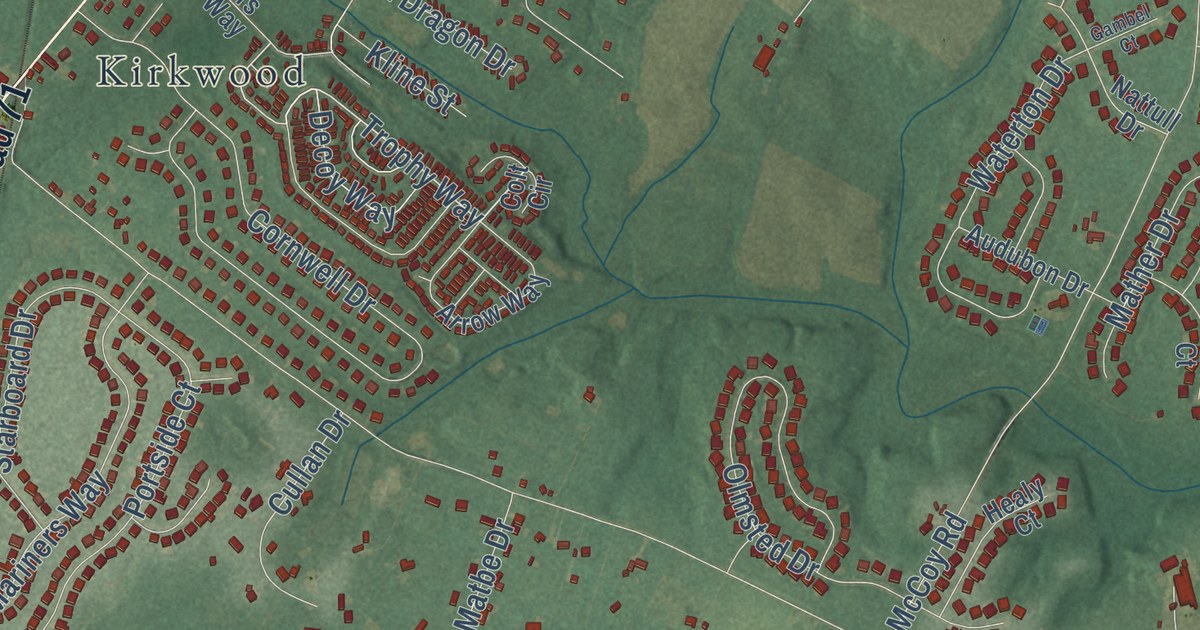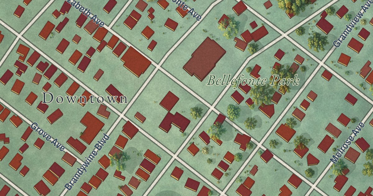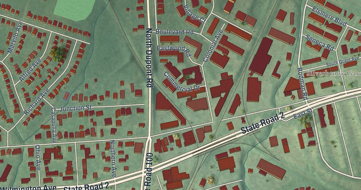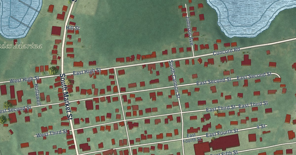
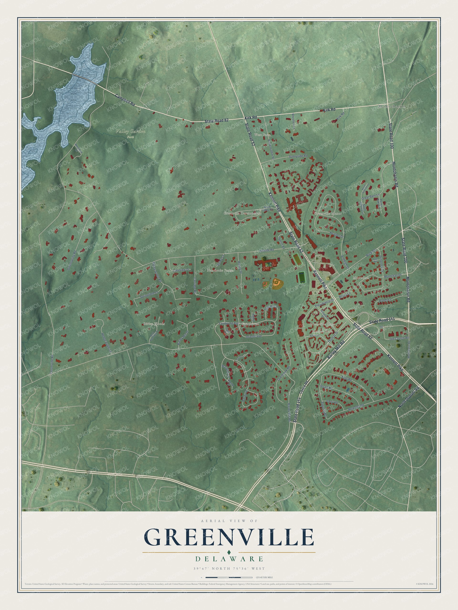
This beautifully detailed map of Greenville, Delaware was created in 2026 using aerial imagery combined with modern topographical, census, street and landmark data. It’s a one-of-a-kind view of Greenville that combines accurate data with a vintage aesthetic. The map shows every building in its true location, many of the roads carry their names, and the shaded topographic relief shows the shape of the land.
Explore an aerial view of Greenville, Delaware
On the map you’ll find Valley Garden Park, Barley Woods, Fairthorne, Greenville Development, Greenville Manor, Greenville Place, Monroe Park, Montchan, Montchanin, Nanticoke Farms, and West Farm, along with State Road 100, and more. If you look closely you can even find your house accurately drawn in its correct location. Zoom in on the preview to look for yours.
Did you know this piece of Greenville, Delaware history?
From the Delaware Public Archives: "Joseph Church was built in 1841 by a diverse community of Roman Catholic immigrants to meet the needs of the growing Catholic population."
Take a closer look at the Greenville map
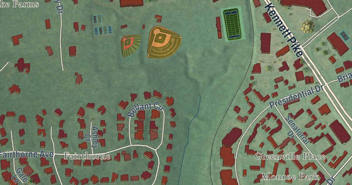
Street and place names on the Greenville, Delaware map
These names are printed on the map of Greenville, Delaware.
Places: Montchanin, Valley Garden Park, Barley Woods, Montchan, West Farm, Nanticoke Farms, Greenville Development, Monroe Park, Greenville Manor, Fairthorne and Greenville Place.
Streets and roads: State Road 100, Montchanin Road, Campbell Road, Kirk Road, Kennett Pike, State Road 52, Barley Mill Road, State Road 141, State Road 82, North Dupont Road, Thomas Drive, Presidential Drive.
More street names, A to Z
Ardleigh Drive, Ashley Court, Augusta Road, Barley Drive, Barley Mill Drive, Bellant Circle, Berkeley Road, Briars Lane, Brookmeadow Road, Brook Valley Road, Buck Road, Carriage Road, Cecil Road, Centerville Road, Centre Road, Fairthorne Avenue, Gale Lane, Great Barn Lane, Greenock Drive, Greenspring Road, Halsey Drive, Heather Drive, Hedge Apple Lane, Hillside Road, Kent Road, Lakeview Drive, Montchan Drive, North Ashview Lane, North Buckridge Drive, Old Church Road, Oriente Avenue, Overbrook Road, Paired Oaks Lane, Ponds Lane, Quail Run, Robert Lane, Senatorial Drive, South Ashview Lane, Springfield Lane, Squirrel Road, Stuart Road, Sunnyside Road, Thaxten Lane, Valley Green Road, Valmy Lane, Warick Court, Warwick Lane, Westbrae Lane, Wheellock Lane.
See the Greenville, Delaware map on a wall
The Greenville map as an 18 x 24 inch print in a black frame.

This beautifully detailed map of Greenville makes an attractive addition to your office, library, or den, and it can even be used to teach children the geography and history of the area. It also makes a great gift for someone who left Greenville and still calls it home. When you’re done exploring, click here to get your copy of the Greenville map.