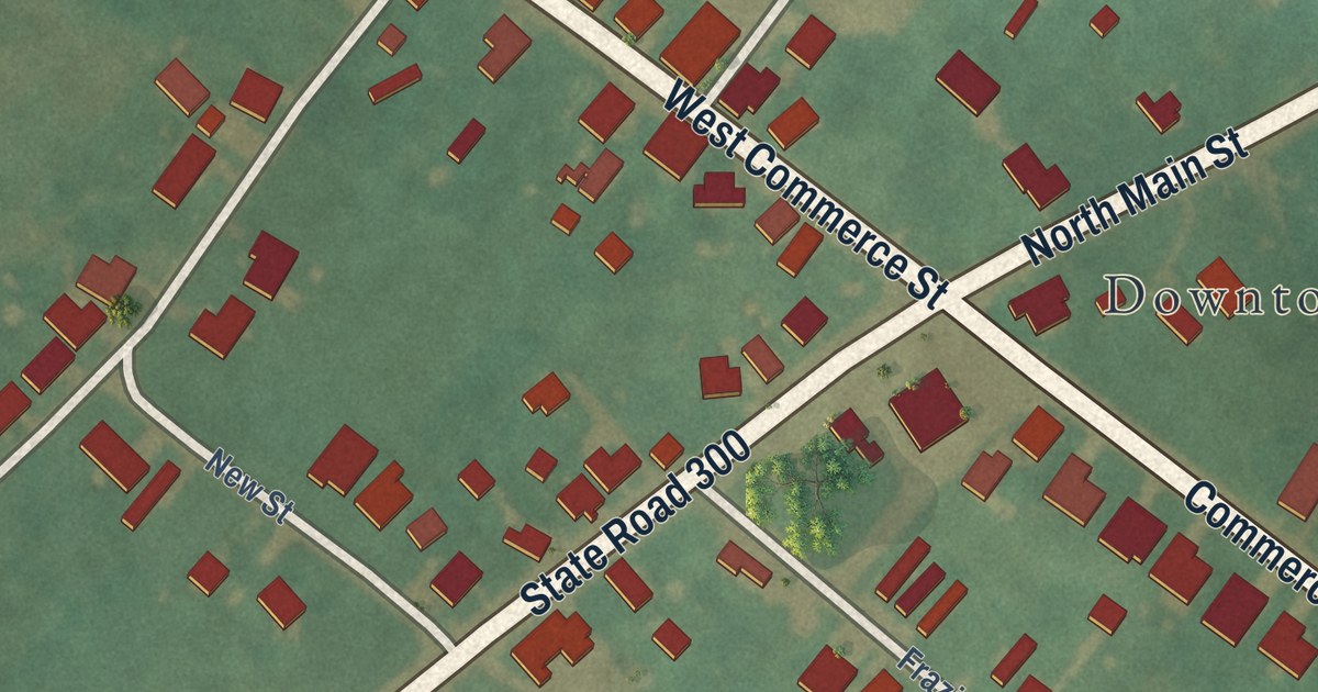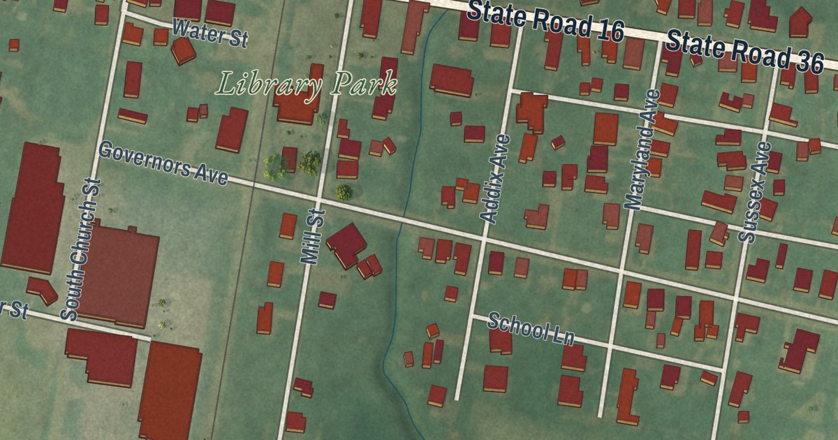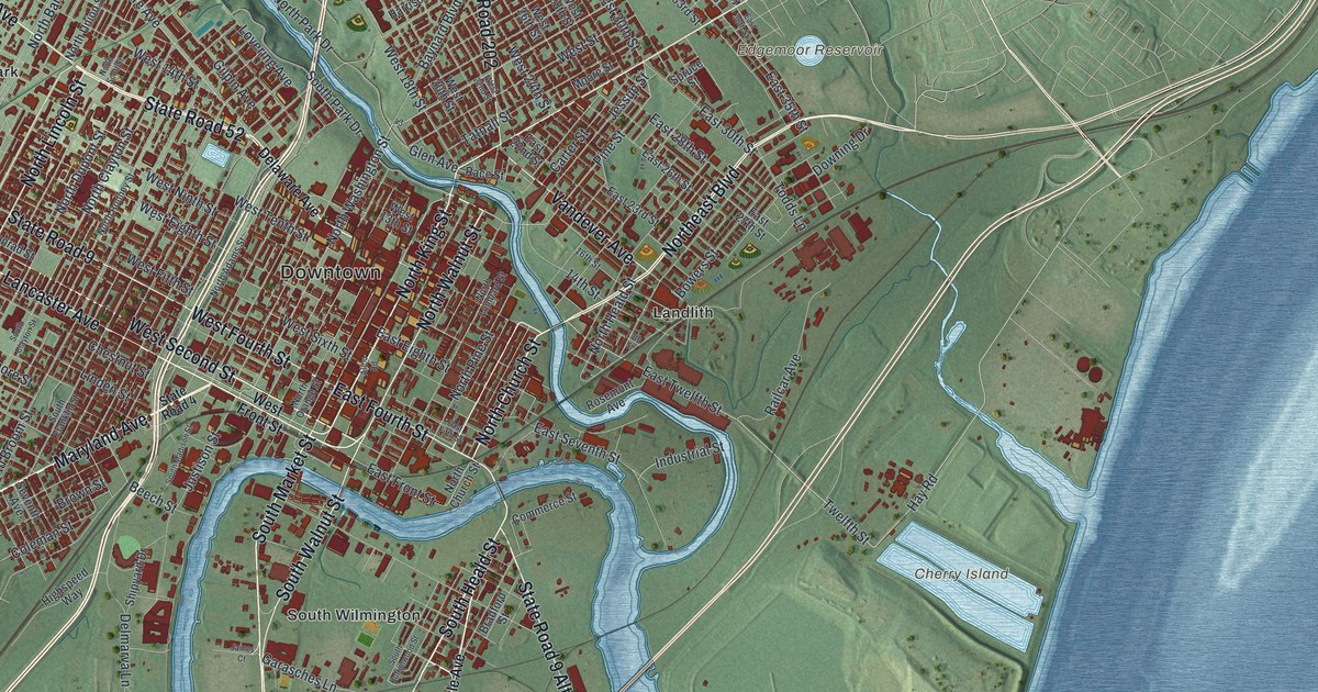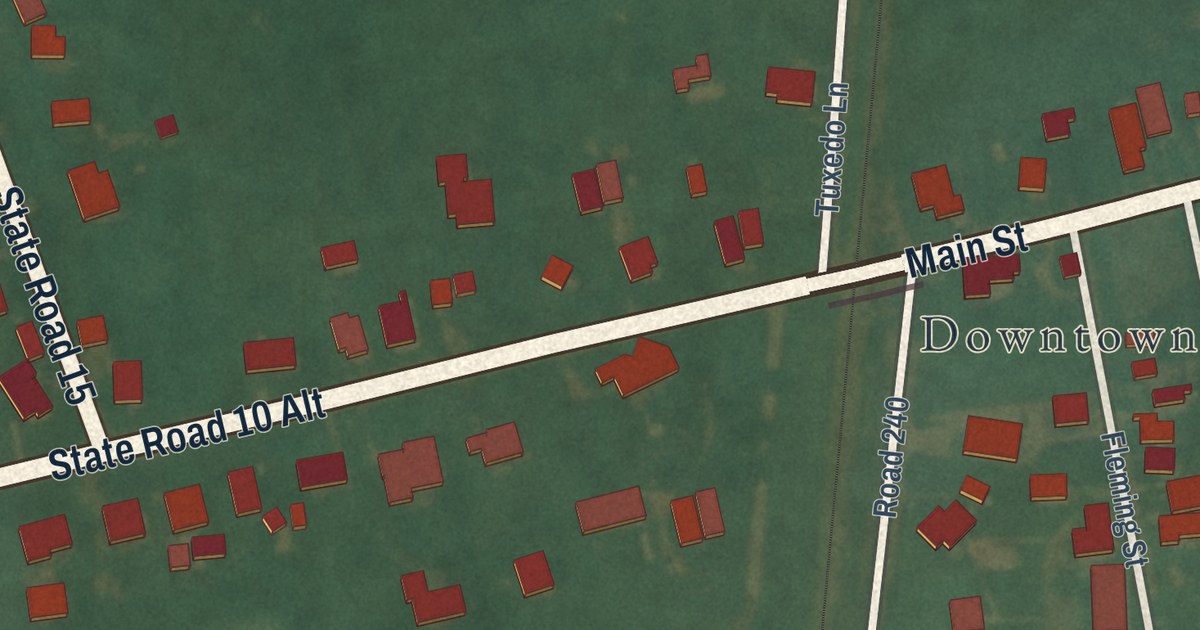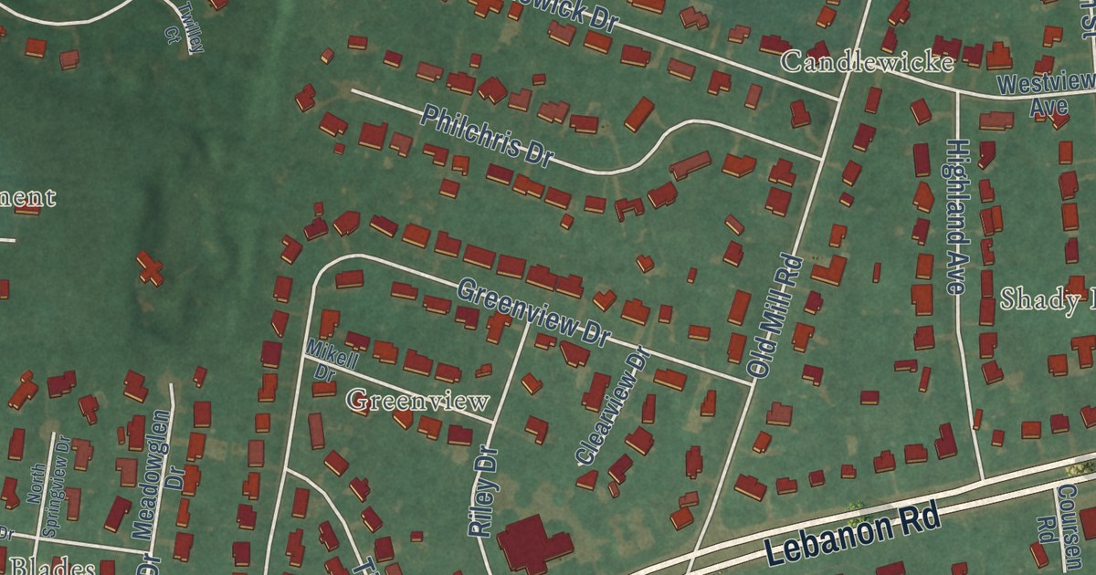
This beautifully detailed map of Highland Acres, Delaware was created in 2026 using aerial imagery combined with modern topographical, census, street and landmark data. It’s a one-of-a-kind view of Highland Acres that combines accurate data with a vintage aesthetic. The map shows every building in its true location, many of the roads carry their names, and the shaded topographic relief shows the shape of the land.
Explore an aerial view of Highland Acres, Delaware
On the map you’ll find Odd Fellows Cemetery, Tibury Park, Beades Estate, Candlewicke, Carter Development, Fairfield Farms, Forest Landing, Greenview, Moores Lake Development, Richardson Estates, and Royal Grant, along with Carriage Lane, and more. If you look closely you can even find your house accurately drawn in its correct location. Zoom in on the preview to look for yours.
Take a closer look at the Highland Acres map
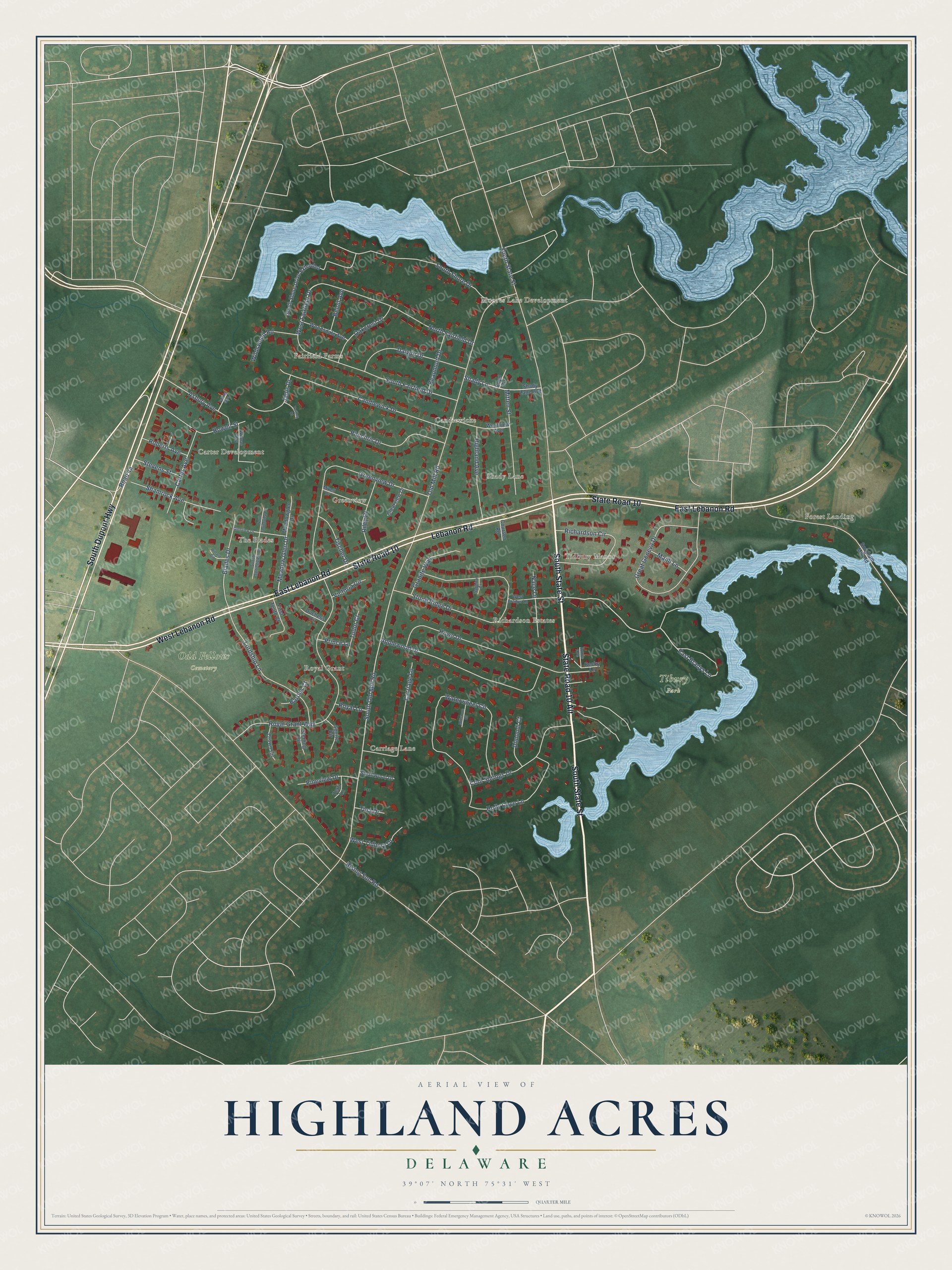
Street and place names on the Highland Acres, Delaware map
These names are printed on the map of Highland Acres, Delaware.
Places: Odd Fellows Cemetery, Tibury Park, Moores Lake Development, Carter Development, Forest Landing, Shady Lane, Fairfield Farms, Carriage Lane, Richardson Estates, The Blades, Greenview, Tidbury Manor, Royal Grant and Candlewicke.
Streets and roads: South State Street, State Road 10 Alt, State Road 10, East Lebanon Road, Lebanon Road, West Lebanon Road, South Dupont Highway, West Fairfield Drive, Meadow Glen Drive, East Bradys Lane, South Old Mill Road, Rising Sun Road.
More street names, A to Z
Applewood Drive, Asbury Avenue, Barons Court, Beaumont Drive, Becky Lane, Beloit Avenue, Blades Drive, Boyd Circle, Candlewick Drive, Carter Avenue, Clearview Drive, Cool Springs Drive, Coursen Road, Crown Circle, Dalwin Drive, Dimondi Court, Duchess Circle, Failing Avenue, First Tenth Court, Glenview Drive, Granite Way, Great Geneva Drive, Greenview Drive, Highland Avenue, Holly Cove Lane, Howe Drive, Howell Street, Janis Drive, Lordship Lane, Majill Lane, Meadowglen Drive, Mikell Drive, Millstone Court, Mitten Street, Nace Lane, North Fairfield Drive, North Springview Drive, Oakcrest Drive, Old Mill Road, Philchris Drive, Pineview Drive, Prince Lane, Richardson Circle, Riley Drive, Roberts Avenue, Roxie Avenue, Royal Grant Way, Royal Lane, Saphire Court, Shady Lane Avenue, Shamrock Avenue, Smallwood Drive, Sorghum Mill Road, South Fairfield Drive, South Shore Drive, South Shore Drive Extended, South Springview Drive, Squire Circle, Sterling Circle, Stevens Street, Stone Ridge Drive, Terri Lane, Tina Drive, Tischer Drive, Tudor Court, Twilley Court, Victoria Circle, Waterwheel Circle, West Bradys Lane, West Tidbury Drive, Westview Avenue, Wildswood Road, Willard Circle, Wilmas Way, Woodsdale Avenue.
See the Highland Acres, Delaware map on a wall
The Highland Acres map as an 18 x 24 inch print in a black frame.

This beautifully detailed map of Highland Acres makes an attractive addition to your office, library, or den, and it can even be used to teach children the geography and history of the area. It also makes a great gift for anyone with Highland Acres roots. When you’re done exploring, click here to get your copy of the Highland Acres map.