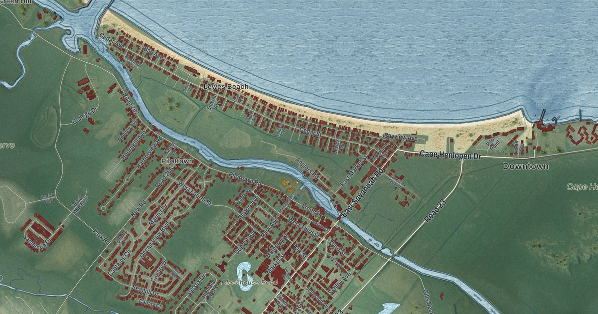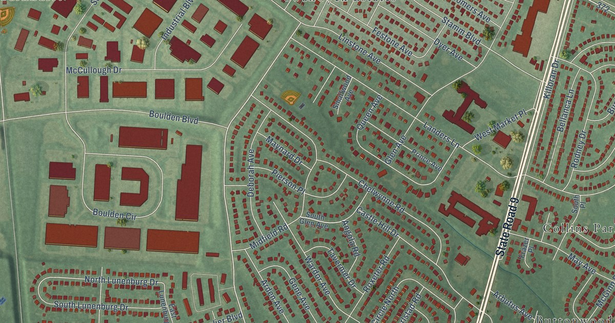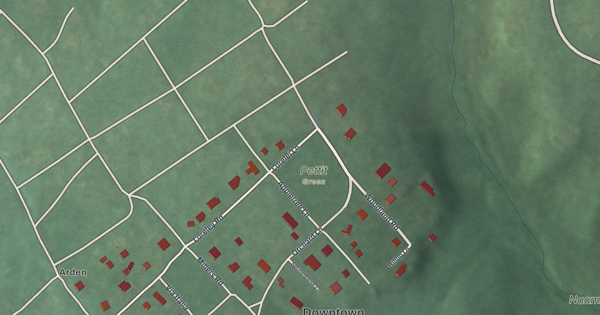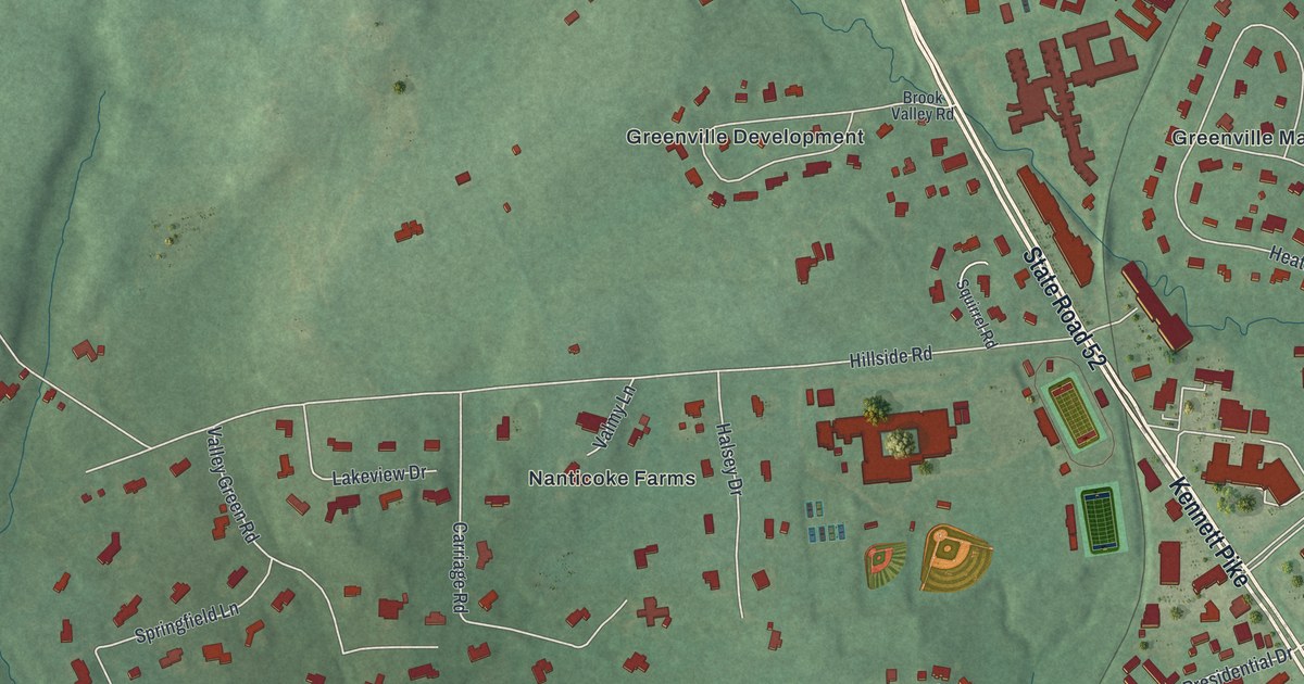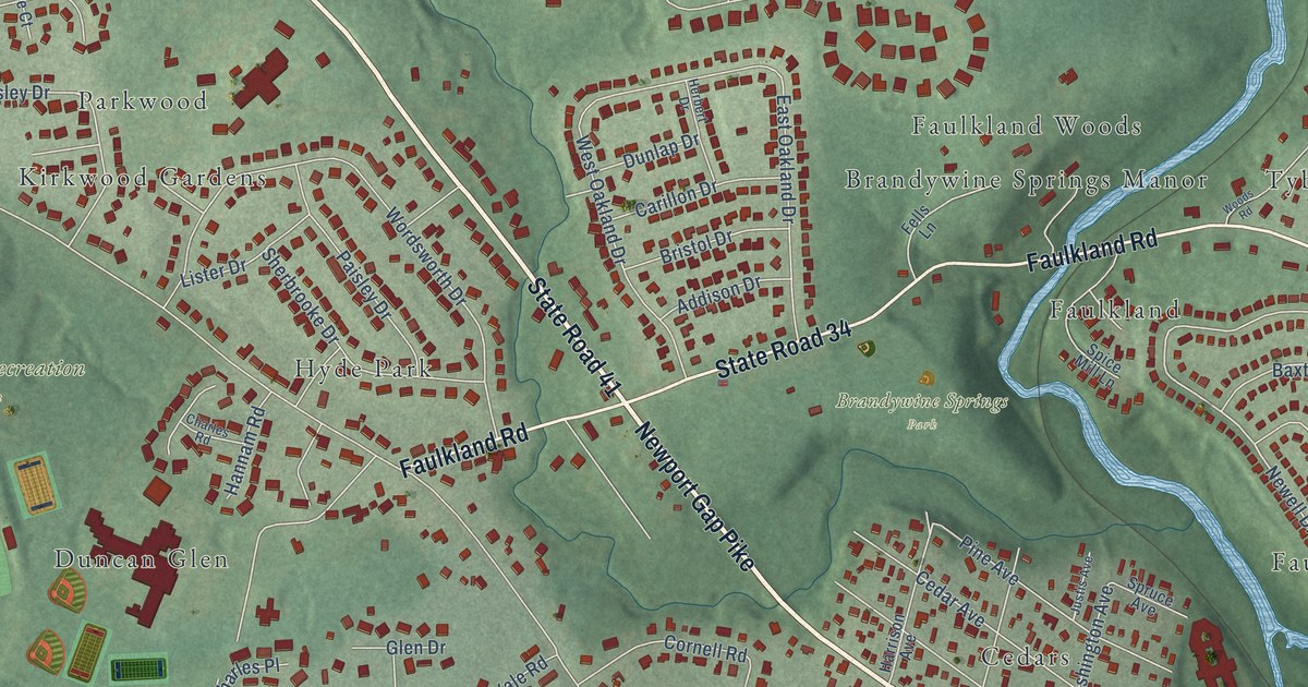
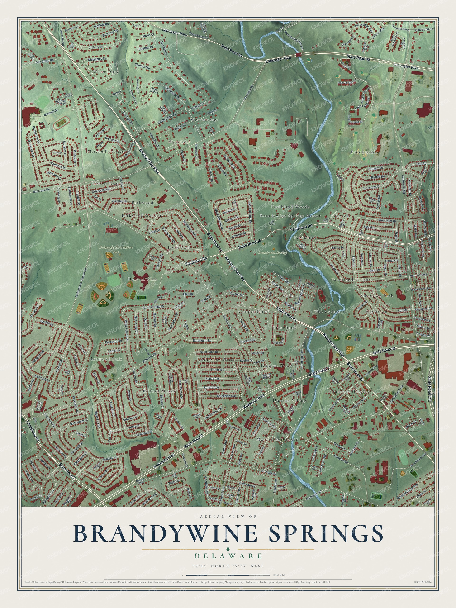
This beautifully detailed map of Brandywine Springs, Delaware was created in 2026 using aerial imagery combined with modern topographical, census, street and landmark data. It’s a one-of-a-kind view of Brandywine Springs that combines accurate data with a vintage aesthetic. The map shows every building in its true location, many of the roads carry their names, and the shaded topographic relief shows the shape of the land.
Explore an aerial view of Brandywine Springs, Delaware
On the map you’ll find Brandywine Springs Park, Delcastle Recreation Park, Brookmeade, Winterbury, Duncan Village, Sherwood Park, Mitchell Estates, Tybrook, Cooper Farm, Albertson Park, Westminster, Marshallton Green, and more. If you look closely you can even find your house accurately drawn in its correct location. Zoom in on the preview to look for yours.
Did You Know?
George Washington’s army camped at Brandywine Springs during the Revolutionary War. In 1826 a big four-story resort hotel rose here. Daniel Webster, Henry Clay and John Quincy Adams all stayed there. In the 1880s the area drew crowds again for its mineral springs.
Brandywine Springs is a community in New Castle County.
Take a closer look at the Brandywine Springs map
Names on this map
These names are printed on this map.
Places: Brandywine Springs Park, Delcastle Recreation Park, Brookmeade, Winterbury, Duncan Village, Sherwood Park, Mitchell Estates, Tybrook, Cooper Farm, Albertson Park, Westminster, Marshallton Green, Hyde Park, Cranston Heights, The Cedars, Dunlinden Acres, Brandywine Springs Manor, Westmont, Parkwood, Belford Manor, Greenbank, Duncan Glen, Cedars, Coffee Run, Duncan Woods, Albertson, Faulkland Heights, Kirkwood Gardens, Faulkland and Faulkland Woods.
Streets and roads: State Road 41, Newport Gap Pike, State Road 2, Kirkwood Highway, Lancaster Pike, State Road 48, Faulkland Road, State Road 34, Limestone Road, State Road 7, State Road 62, State Road 141.
More street names, A to Z
Abbey Road, Addison Drive, Albany Place, Albertson Boulevard, Alexis Court, Alister Drive, Ambleside Drive, Angel Drive, Anthony Court, Arcadia Way, Armstrong Avenue, Arrowhead Lane, Arundel Drive, Bailey Drive, Balmoral Court, Balmore Lane, Bardell Drive, Baxter Drive, Beacon Court, Beaver Falls Place, Beech Street, Belford Drive, Berlin Street, Bradley Drive, Breckenridge Drive, Bristol Drive, Bromley Drive, Brookland Avenue, Burnhaven Lane, Calf Run Drive, Canora Drive, Carillon Drive, Cavendish Court, Cedar Avenue, Cedar Street, Center Circle, Centerville Road, Centerville Terrace, Chalet Drive, Chariot Court, Charles Place, Charles Road, Cheltenham Road, Cheshire Court, Ciro Court, Claire Place, Clayton Avenue, Clyde Street, Coffee Run Lane, Cornell Road, Cranhill Drive, Cranston Avenue, Cratchett Road, Crossgates Drive, Cunard Street, Cynwyd Club Drive, Dandenog Drive, Darby Drive, Darnay Lane, Dartmouth Road, Dean Drive, Delaware Street, Denbeigh Court, Derbyshire Way, Deville Circle, Devonshire Court, Dombey Road, Dorcaster Drive, Dorking Court, Drummond Drive, Dunbarton Drive, Duncan Road, Dunlap Drive, East Eric Drive, East Oakland Drive, East Parris Drive, East Robino Drive, Edwards Avenue, Elder Drive, Elizabeth Avenue, Elmwood Street, Entwisle Court, Eunice Avenue, Evelyn Drive, Farrand Drive, Fells Lane, Fenpor Avenue, Fenton Drive, Fogg Lane, Fountain Court, Frances Drive, Frann Drive, Galts Court, Gannet Lane, Gary Avenue, Gilbert Avenue, Glenbarry Drive, Glen Drive, Grafton Drive, Graham Drive, Greenbank Road, Griffin Drive, Hammond Place, Hampton Way, Hannam Road, Harrison Avenue, Harris Place, Hartley Place, Harvard Road, Hayes Court, Herbert Drive, Hercules Road, Heritage Drive, Hickory Spring Road, Highgate Road, Highland Avenue, Hillside Avenue, Holborn Road, Horace Drive, Hutchinson Road, Hyde Run Drive, Inman Drive, Ipswich Drive, Ivanhoe Lane, Jackson Avenue, Jarmon Place, Justis Avenue, Katherine Avenue, Kentshire Court, Kiamensi Avenue, Kiamensi Road, Kiamensi Street, Kingsgate Lane, Kings Ridge Road, Kittiwake Drive, Klair Place, Lafayette Street, Lake Avenue, Lands End Road, Larson Avenue, Lehigh Road, Leigh Court, Lincoln Avenue, Lister Drive, Locust Road, Logans Lane, Longford Court, Loper Lane, Lori Drive, Lorrain Avenue, Loveville Road, Maclary Drive, Maple Avenue, Marlyn Drive, Marshall Avenue, Maryland Avenue, McCawber Drive, McKennans Church Road, Meadowbrook Avenue, Melson Road, Meriden Drive, Merrimor Court, Millcreek Road, Milltown Road, Mitchell Drive, Monica Boulevard, Monte Circle, Muggleton Road, Mullet Road, Nancy Avenue, Nelson Lane, Newell Drive, Newport Road, New Street, Niagara Falls Drive, Nicholby Drive, Norman Drive, North Robino Drive, Oaknoll Road, Oak Ridge Road, Oak Street, Ohio Avenue, Oldbury Drive, Old Capitol Trail, Oracle Road, Orchard Road, Overlook Avenue, Owen Drive, Oxford Way, Paisley Drive, Paoletti Drive, Parker Court, Parris Drive West, Pecksniff Road, Pickwick Drive, Pine Avenue, Pine Street, Plover Court, Prospect Avenue, Redstart Court, Regis Falls Avenue, Rhode Island Avenue, Ronna Drive, Roselawn Avenue, Rothwell Drive, Rothwell Road, Saint John Drive, School Lane, Seminole Avenue, Sheen Drive, Sheffield Drive, Sherbrooke Drive, Sherwood Drive, Skylark Road, South Hampshire Court, Spice Mill Lane, Springers Lane, Spruce Avenue, Squirrel Hill Court, Stanton Road, Stonewood Way, Stratton Drive, Sugar Loaf Lane, Tanager Drive, Tapley Lane, Teal Road, Thomas Pointe Circle, Thomas Pointe Drive, Tigani Drive, Toby Court, Toucan Road, Tracy Court, Tree Line Court, Trenton Place, Trudy Drive, Truitt Lane, Turnstone Drive, Twist Lane, Valley Brook Drive, Vermont Avenue, Verona Drive, Victoria Falls Lane, Wallasey Road, Walls Avenue, Warren Lane, Washington Avenue, Watford Road, Waxwing Court, Weer Circle, West Eric Drive, Westgate Drive, Westlock Drive, West Oakland Drive, West Robino Drive, West Rolling Mill Road, Whitehall Circle, Whitekirk Drive, Wild Cherry Lane, Willow Spring Road, Wilson Street, Winterbury Circle, Woodale Road, Woodhaven Drive, Woodland Avenue, Woods Road, Woodview Drive, Woodward Avenue, Wordsworth Drive, Yale Road, Yearsley Drive.
See it on a wall
The Brandywine Springs map as a framed print. Swipe for more.


This beautifully detailed map of Brandywine Springs makes an attractive addition to your office, library, or den, and it can even be used to teach children the geography and history of the area. It also makes a great gift for anyone who grew up in Brandywine Springs or moved away. When you’re done exploring, click here to get your copy of the Brandywine Springs map.