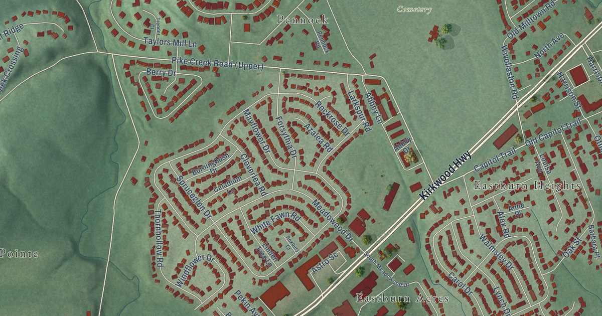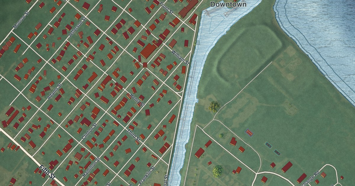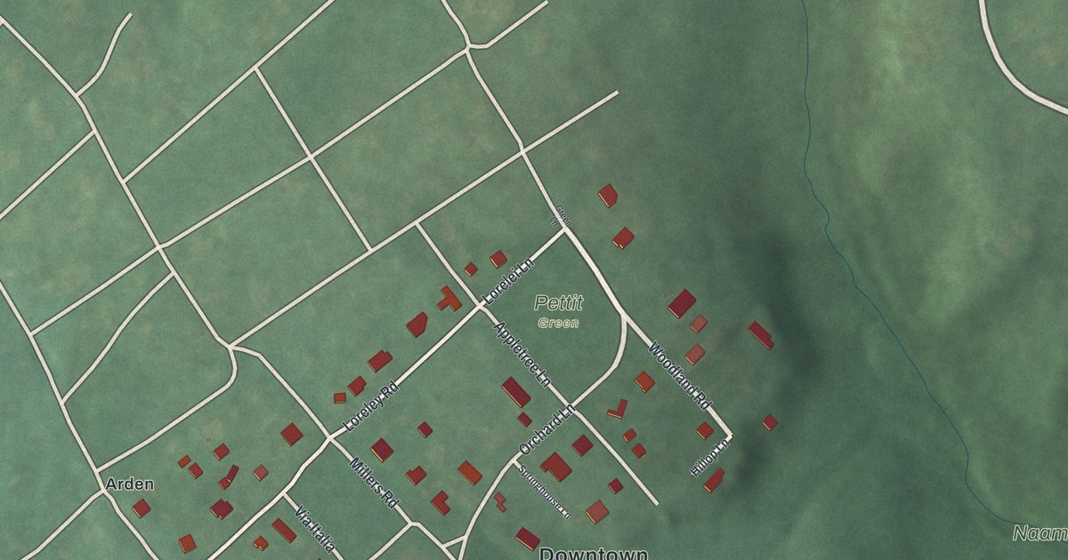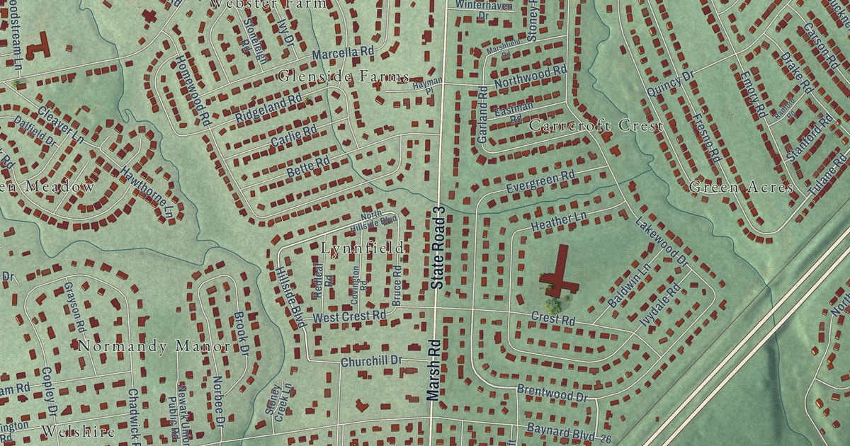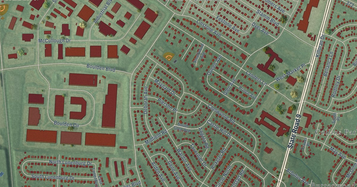
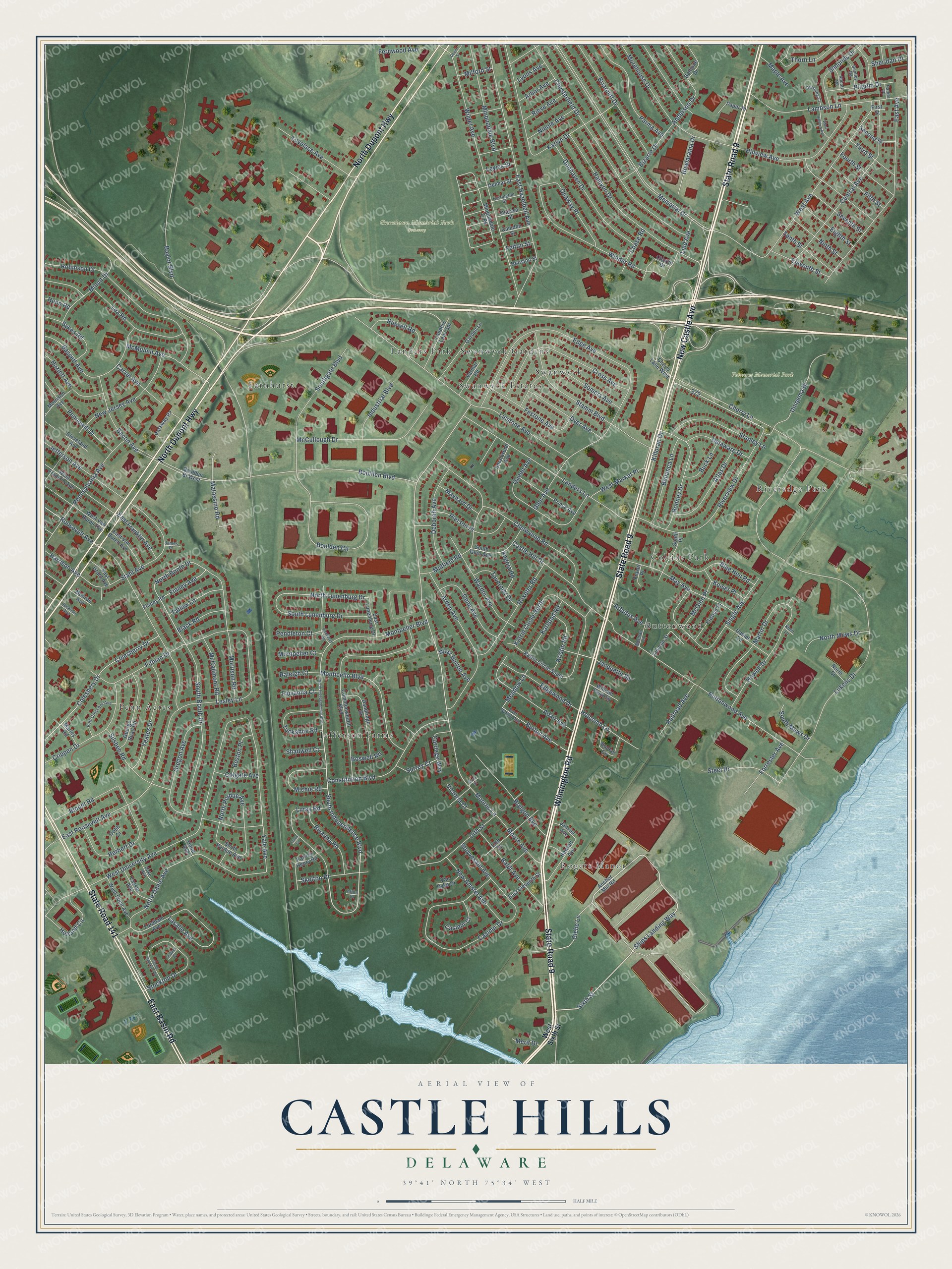
This beautifully detailed map of Castle Hills, Delaware was created in 2026 using aerial imagery combined with modern topographical, census, street and landmark data. It’s a one-of-a-kind view of Castle Hills that combines accurate data with a vintage aesthetic. The map shows every building in its true location, many of the roads carry their names, and the shaded topographic relief shows the shape of the land.
Explore an aerial view of Castle Hills, Delaware
On the map you’ll find Gracelawn Memorial Park Cemetery, Veterans Memorial Park, Buttonwood, Penn Acres, Farnhurst, Jefferson Farms, Swanwyck Estates, Rogers Manor, Riveredge Park, Collins Park, Swanwyck, Landers Park, and more. If you look closely you can even find your house accurately drawn in its correct location. Zoom in on the preview to look for yours.
Take a closer look at the Castle Hills map
Names on this map
These names are printed on this map.
Places: Gracelawn Memorial Park Cemetery, Veterans Memorial Park, Buttonwood, Penn Acres, Farnhurst, Jefferson Farms, Swanwyck Estates, Rogers Manor, Riveredge Park, Collins Park, Swanwyck, Landers Park and Swanwyck Gardens.
Streets and roads: State Road 9, New Castle Avenue, Wilmington Road, North Dupont Highway, East Basin Road, State Road 141, Sixth Street, Ships Landing Way, South Independence Boulevard, Moores Lane, Glebe Lane, North Booth Drive.
More street names, A to Z
13th Street, 14th Street, Abbott Road, Adair Avenue, Afton Court, Anchor Mill Road, Anderson Drive, Angola Road, Arbor Avenue, Arbutus Avenue, Arden Avenue, Atlas Drive, Bacon Avenue, Baldt Avenue, Bassett Avenue, Baylor Boulevard, Bellanca Lane, Bentley Road, Bethune Drive, Bizarre Drive, Black Road, Blount Road, Blue Hen Road, Booker Circle, Boston Place, Boswell Road, Boulden Bl West, Boulden Boulevard, Boulden Circle, Bowlarama Drive, Briarcliff Drive, Brylgon Avenue, Buck Lane, Burton Avenue, Buttonwood Avenue, Camden Street, Carriage Way, Carvel Avenue, Casimir Court, Casimir Drive, Castle Hill Drive, Central Avenue, Chase Road, Chelwynne Road, Cherry Lane, Cherry Lane West, Chesterfield Drive, Church Drive, Cleveland Avenue, Colesberry Drive, Colesbery Drive, Colgate Avenue, Commonwealth Boulevard, Constitution Boulevard, Crippen Drive, Cross Avenue, Dandridge Drive, Daniel Lane, Deborah Avenue, Delaware Drive, Delmar Street, Dobb Court, Donhaven Drive, Dover Street, Downing Court, Duke Avenue, Dyer Avenue, East Avenue, East Burton Avenue, East Eleventh Street, East Franklin Avenue, East Grant Avenue, East Hazeldell Avenue, East Lunenburg Drive, East Roosevelt Avenue, East Van Buren Avenue, Edge Avenue, Edgewood Drive, Eighth Street, Eleventh Street, Elwood Place, Felton Street, Fernwood Avenue, Festone Avenue, Fifth Street, Finney Avenue, Finney Road, First Street, Fithian Drive, Fluvanna Court, Fols Crescent Avenue, Fordham Avenue, Forrester Avenue, Fourth Street, Frazer Place, Garden Lane, Gene Avenue, George Read Road, Glen Avenue, Grove Street, Halcyon Drive, Harrington Street, Harrison Avenue, Hazlett Avenue, Herbert Drive, Hewlett Avenue, Hillview Avenue, Holcomb Lane, Holland Circle, Hood Avenue, Houston Street, Howell Drive, Hunn Road, Industrial Boulevard, Jackson Avenue, Jacquette Square, James Place, Janvier Avenue, Jefferson Avenue, Karlstad Road, Karlyn Drive, Katrin Circle North, Katrin Circle South, Keiser Place, Killoran Drive, Klein Lane, Kristin Road, Lambson Lane, Landers Lane, Landers Lane Spr, Lasalle Avenue, Lea Road, Lesley Lane, Lewes Street, Lincoln Street, Lind Avenue, Linstone Avenue, Lovelace Avenue, Lukens Drive, Luray Circle, Luray Road, Lyons Avenue, Maple Avenue, Marley Road, Martin Drive, Matassino Road, May Avenue, Maynard Drive, McCallmont Road, McCullough Drive, McGinn Place, McMullen Avenue, Meadow Lane, Meehan Lane, Memorial Drive, Merit Drive, Michie Road, Midfield Road, Milford Street, Minquadale Boulevard, Minquadale Tr Pk, Minuit Drive, Monroe Avenue, Monticello Boulevard, Montpelier Boulevard, Montpelier Court, Moore Avenue, Morehouse Drive, Morrison Avenue, Morrison Road, New Amstel Avenue, New Jersey Avenue, Nieole Avenue, Ninth Street, North Court, North Independence Boulevard, North Lunenburg Drive, North Mews Drive, North Purdue Avenue, Notre Dame Avenue, Odessa Street, Onaway Place, Oregon Avenue, Paper Place, Parker Place, Parkway Pz, Parma Avenue, Patrick Henry Road, Pendleton Court, Pennewill Drive, Pennsylvania Avenue, Pierson Place, Pilgrim Drive, Powhatan Road, Prince Avenue, Queen Avenue, Railroad Avenue, Raleigh Court, Rieve Avenue, Rivanna Road, Riverview Drive, Robinson Drive, Rodney Drive, Roosevelt Avenue, Roxeter Road, Russell Road, Second Street, Seventh Street, Shadwell Court, Sheridan Drive, Silsbee Road, Simonds Drive, Single Avenue, Skelton Drive, Smallwood Avenue, Somers Avenue, South Booth Drive, Southgate Boulevard, South Glen Avenue, South Lunenburg Drive, South Mews Drive, South Place, South Purdue Avenue, South Stockton Drive, Stabler Court, Stahl Avenue, Stamm Boulevard, Stanley Lane, Steel Drive, Stockton Drive, Stuyvesant Avenue, Surrey Court, Sykes Road, Tatlow Lane, Tavernier Drive, Tenth Street, Third Street, Thorn Lane, Tuckahoe Road, Uniqema Bl, Van Dyke Drive, Varmar Road, Vassar Avenue, Victoria Court, Wardor Avenue, West Avenue, West Burton Avenue, West Franklin Avenue, West Hillview Avenue, West Market Place, West Point Avenue, West Sixth Street, West University Avenue, West Van Buren Avenue, Wildel Avenue, William Penn Square, Winder Road, Yale Avenue, Yeates Drive.
See it on a wall
The Castle Hills map as a framed print. Swipe for more.


This beautifully detailed map of Castle Hills makes an attractive addition to your office, library, or den, and it can even be used to teach children the geography and history of the area. It also makes a great gift for someone who left Castle Hills and still calls it home. When you’re done exploring, click here to get your copy of the Castle Hills map.