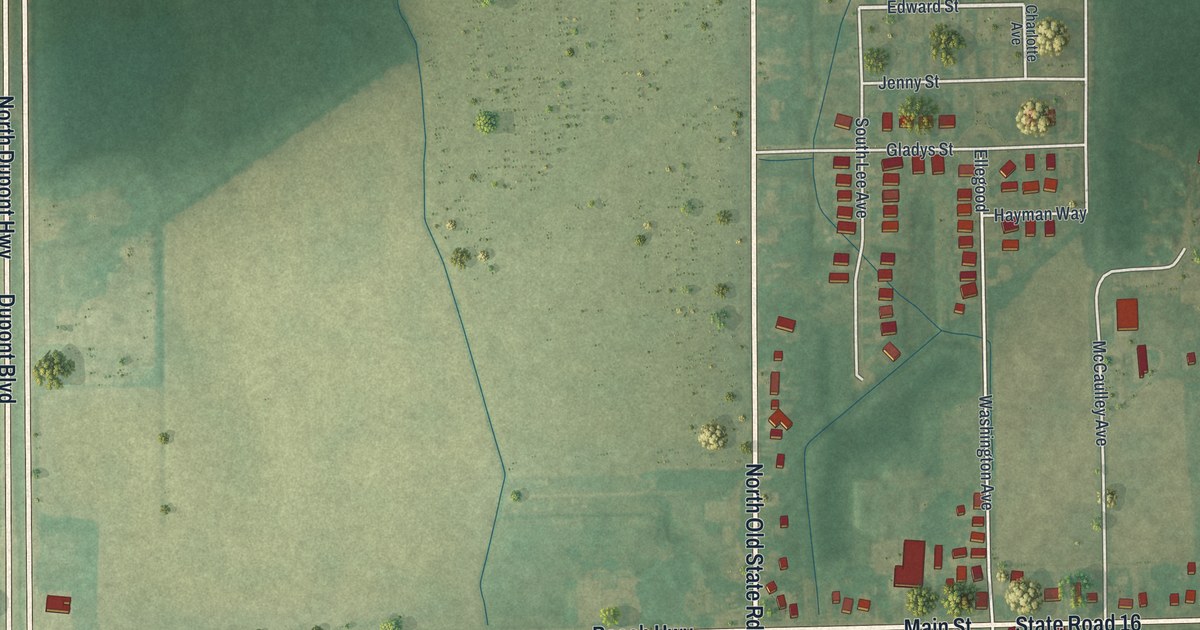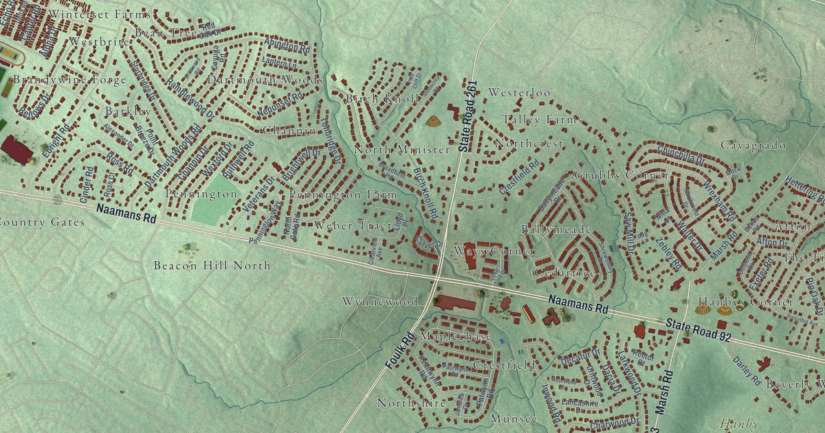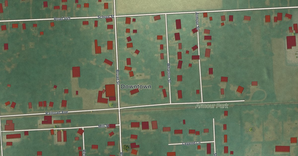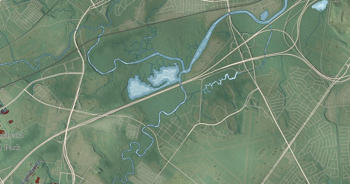
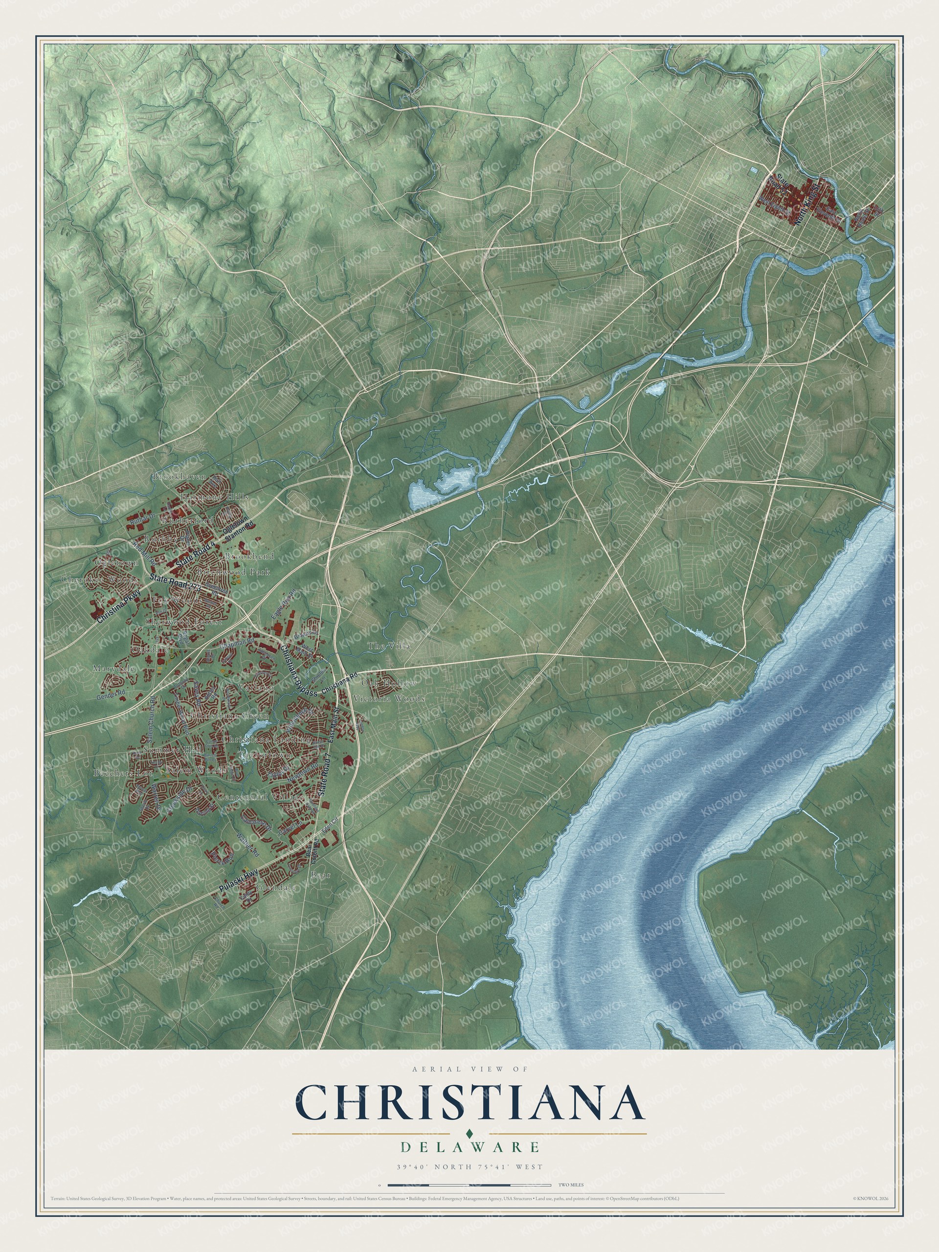
This beautifully detailed map of Christiana, Delaware was created in 2026 using aerial imagery combined with modern topographical, census, street and landmark data. It’s a one-of-a-kind view of Christiana that combines accurate data with a vintage aesthetic. The map shows every building in its true location, many of the roads carry their names, and the shaded topographic relief shows the shape of the land.
Explore an aerial view of Christiana, Delaware
On the map you’ll find Beechers Lot, Brookhaven, Christiana Landing, Bear, Oak Hollow, Marydale, Centennial Village, Summer Hill, Christiana Green, Ruthby, Sherwood Forest, Varlano, and more. If you look closely you can even find your house accurately drawn in its correct location. Zoom in on the preview to look for yours.
Did You Know?
Christiana was once an important shipping point on Christina Creek. The stream and the village were both named for Queen Christina of Sweden. In Colonial days the creek’s name was changed to Christiana, and the legislature restored the old spelling in 1936. Locals have long said the village name as Christeen. That’s from the 1938 WPA guide to Delaware.
Christiana is a community in New Castle County.
Take a closer look at the Christiana map
Names on this map
These names are printed on this map.
Places: Beechers Lot, Brookhaven, Christiana Landing, Bear, Oak Hollow, Marydale, Centennial Village, Summer Hill, Christiana Green, Ruthby, Sherwood Forest, Varlano, Glendale, Rutherford, Brookbend, Cherokee Woods, Taylortown, Birchwood Park, Salem Woods, Fox Woods, Ogletown, Oakdale, Harmony Hills, Victoria Woods and The Villa.
Streets and roads: State Road 273, State Road 7, State Road 4, Christina Parkway, Christiana Bypass, North King Street, Pulaski Highway, Salem Church Road, Chapman Road, Walther Road, Newtown Road, Gender Road.
More street names, A to Z
16th Street, Abbey Road, Alexis Drive, Anthony Drive, Barrett Run Drive, Bear Corbitt Road, Blue Ridge Circle, Browns Lane, Calvarese Drive, Canoe Club Road, Carvel Lane, Christiana Road, Church Road, Cindy Drive, Creekside Drive, Darling Street, Eagle Run Road, East Eleventh Street, East Main Street, Eden Circle, Elm Drive, Galleon Drive, Greentree Road, Happy Lane, Hull Avenue, Jacobsen Drive, Jaymar Boulevard, Kane Drive, Landau Way, Lochview Drive, Musket Road, North Heald Street, Ogletown Stanton Road, Piano Drive, Pierce Run, Providence Drive, Quail Lane, Red Mill Road, Regal Boulevard, Rivers End Drive, Rolling Drive, Ruthar Drive, Savoy Road, Sherin Drive, Shields Lane, Smalleys Dam Road, State Road 52, Taylor Drive, Timber Wood Boulevard, Tinsley Court, Tiverton Circle, Warren Drive, West Eighth Street, West Main Street, Woodshade Drive.
See it on a wall
The Christiana map as a framed print. Swipe for more.


This beautifully detailed map of Christiana makes an attractive addition to your office, library, or den, and it can even be used to teach children the geography and history of the area. It also makes a great gift for anyone who grew up in Christiana or moved away. When you’re done exploring, click here to get your copy of the Christiana map.