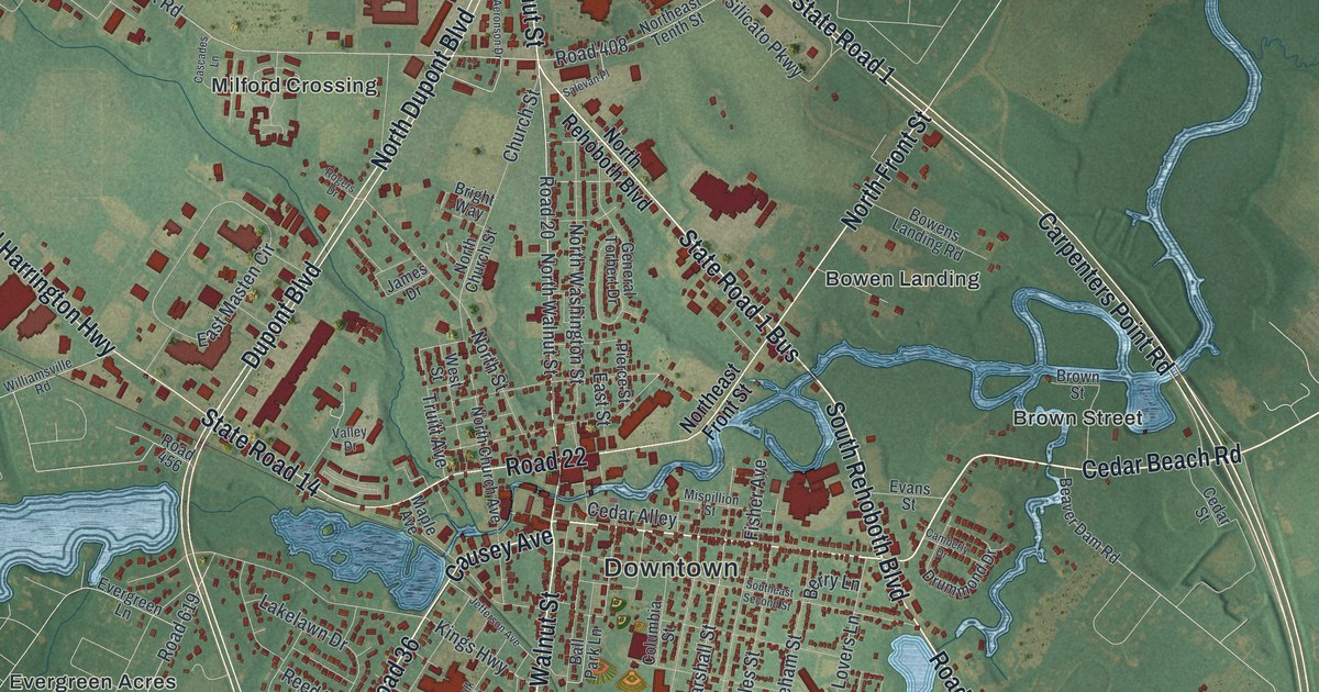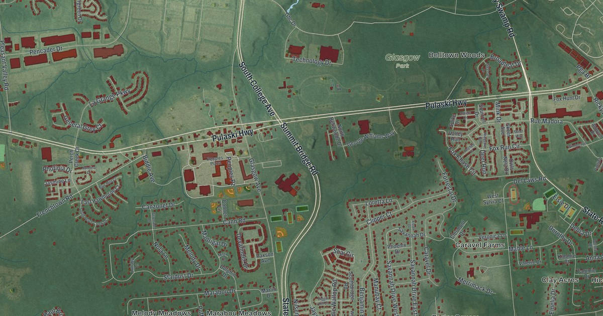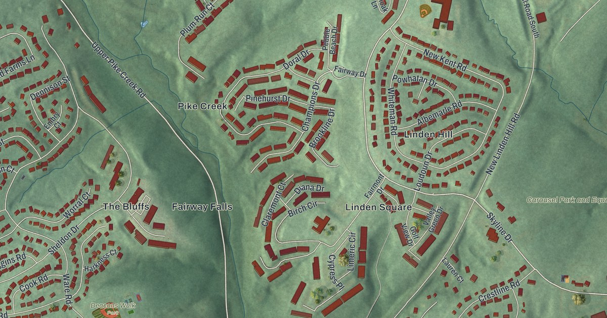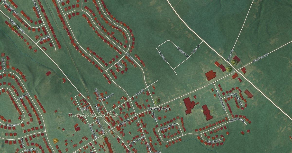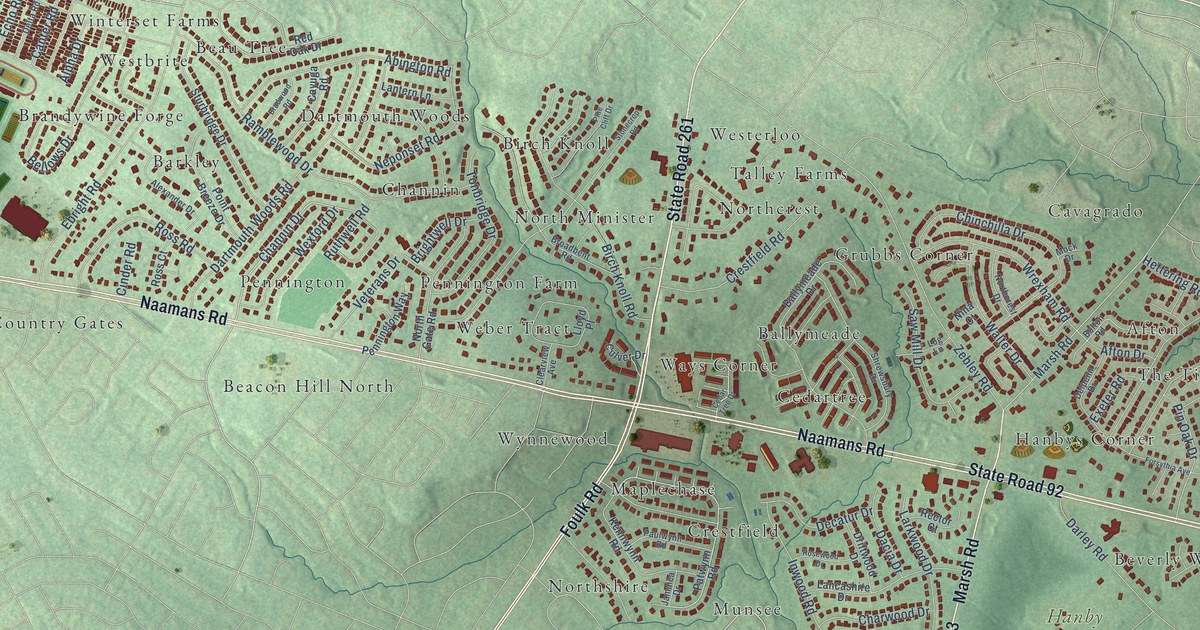
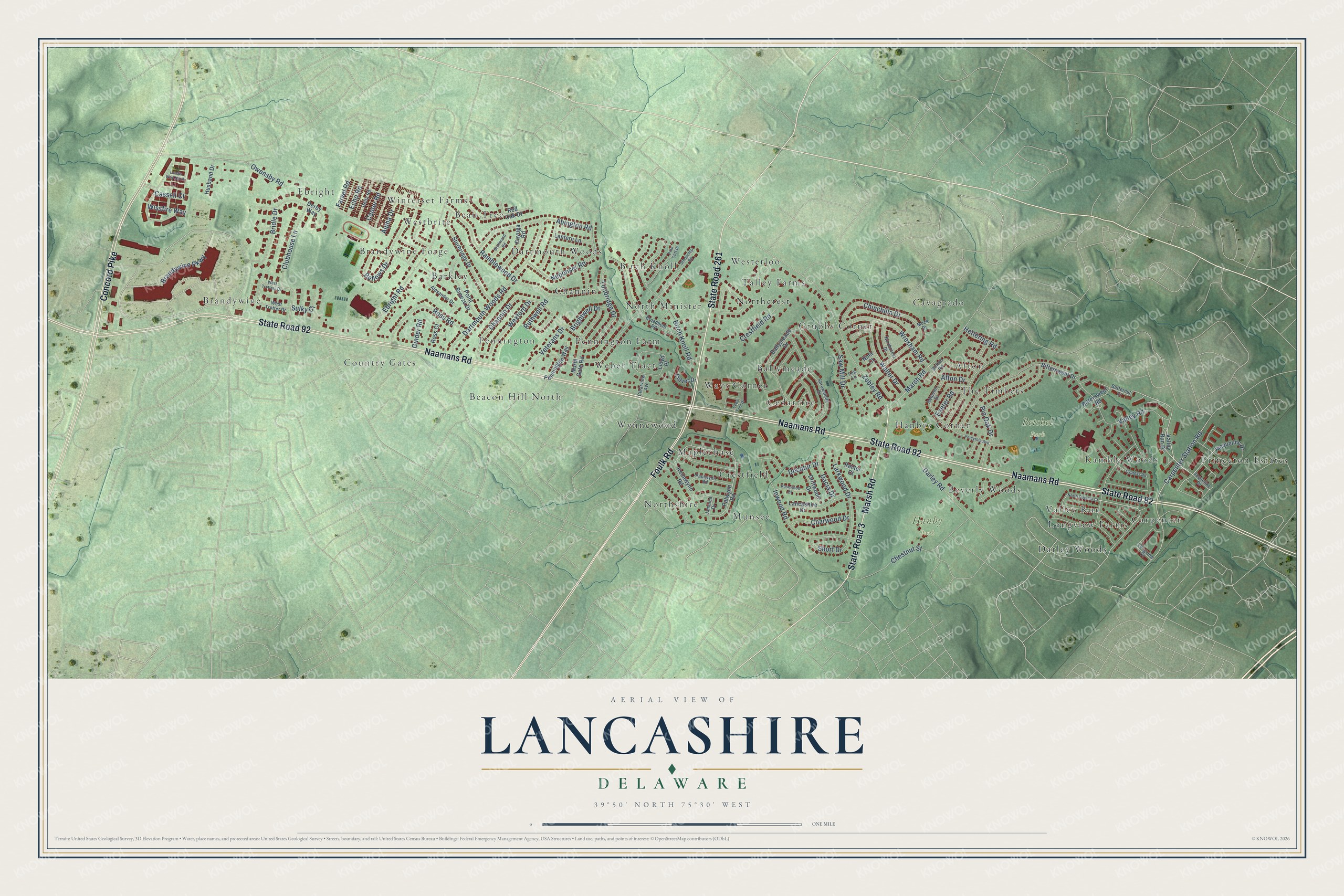
This beautifully detailed map of Lancashire, Delaware was created in 2026 using aerial imagery combined with modern topographical, census, street and landmark data. It’s a one-of-a-kind view of Lancashire that combines accurate data with a vintage aesthetic. The map shows every building in its true location, many of the roads carry their names, and the shaded topographic relief shows the shape of the land.
Explore an aerial view of Lancashire, Delaware
On the map you’ll find Betchel Park, Hanby Park, Brandywine, Beau Tree, Northshire, Northcrest, Princeton Estates, Ways Corner, Ebright, Pennington, Darley Woods, Cavagrado, and more. If you look closely you can even find your house accurately drawn in its correct location. Zoom in on the preview to look for yours.
Did You Know?
From the 1862 History of Delaware County, Pennsylvania: "The name of Lancaster for the new County was suggested by John Wright, one of the Commissioners, who had emigrated from Lancashire, England, in 1714, and settled in Chester, but had removed to Columbia in 1726.?"
Lancashire is a community in New Castle County.
Take a closer look at the Lancashire map
Names on this map
These names are printed on this map.
Places: Betchel Park, Hanby Park, Brandywine, Beau Tree, Northshire, Northcrest, Princeton Estates, Ways Corner, Ebright, Pennington, Darley Woods, Cavagrado, Country Gates, Carpenter, North Minister, Cedartree, Munsee, Channin, Beverly Woods, Brandywine Forge, Longview Farms, Hanbys Corner, Ramble Woods, Afton, Beacon Hill North, Grubbs Corner, Westbrite, Wynnewood, Weber Tract, Birch Knoll, Dartmouth Woods, Westerloo, Winterset Farms, Crestfield, Ballymeade, Pennington Farm, Talley Farms, Barkley, Maplechase, Valley Run and The Timbers.
Streets and roads: Foulk Road, State Road 261, Naamans Road, State Road 92, Concord Pike, Marsh Road, State Road 3, Brandywine Parkway, Afton Drive, Channin Drive, Carpenter Station Road, Ramblewood Drive.
More street names, A to Z
Abington Road, Alexander Drive, Alpha Drive, Ballymeade Drive, Bellows Drive, Birch Knoll Road, Bittersweet Drive, Bittersweet Road, Bolton Road, Bradwood Road, Bridle Drive, Brightwell Drive, Broadbent Road, Butternut Court, Canter Road, Cassell Court, Cayuga Road, Cedar Tree Drive, Charwood Drive, Chestnut Street, Chinchilla Drive, Cinder Road, Clearview Avenue, Clubhouse Lane, Crestfield Road, Culver Drive, Cypress Road, Dacia Drive, Darley Road, Dartmouth Woods Road, Decatur Drive, Delpenn Drive, Delta Road, Derby Way, Driftwood Drive, Ebright Road, Echo Road, Exeter Road, Farvel Road, Forsythia Avenue, Hettering Road, Husband Drive, Inwood Road, Jacqueline Drive, Jamaica Drive, Jaqueline Drive, Kennwynn Road, Lancashire Drive, Landis Way North, Lantern Lane, Larkwood Drive, Lloyd Place, Log Lane, Longview Court, Mock Drive, Neponset Road, Nina Court, Northcrest Drive, North Gate Road, North Overhill Court, Owensby Road, Patwynn Road, Paulwynn Road, Pennington Way, Pine Cliff Drive, Pin Oak Drive, Point Breeze Drive, Rector Court, Red Oak Drive, Rosewood Drive, Ross Court, Ross Road, Ruthwell Road, Saw Mill Drive, Short Drive, Shrewsbury Drive, Stonecrop Road, Sturbridge Drive, Sulky Ci, Tonbridge Drive, Valley Road, Valley Run Drive, Veterans Drive, Walter Drive, West Trotter Drive, West Trotters Drive, Wexford Drive, Wissfire Way, Wrexham Road, Zebley Road.
See it on a wall
The Lancashire map as a framed print. Swipe for more.


This beautifully detailed map of Lancashire makes an attractive addition to your office, library, or den, and it can even be used to teach children the geography and history of the area. It also makes a great gift for anyone with Lancashire roots. When you’re done exploring, click here to get your copy of the Lancashire map.