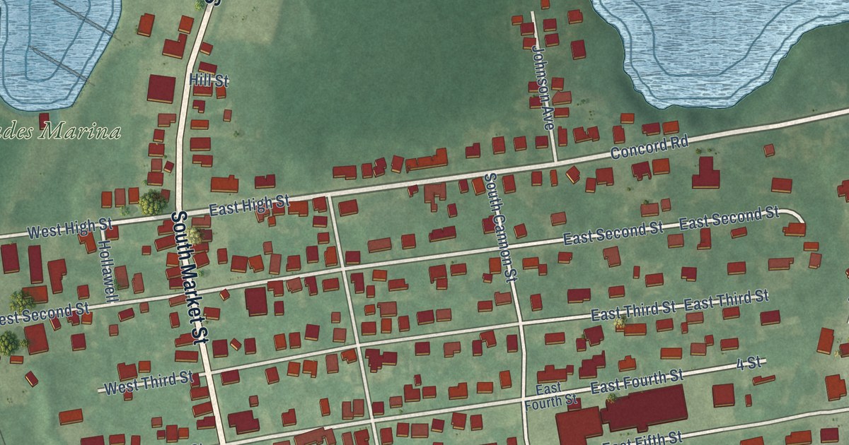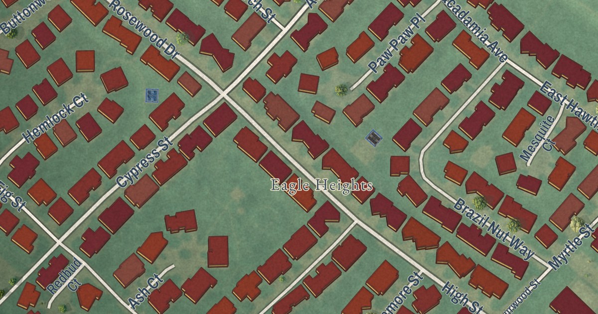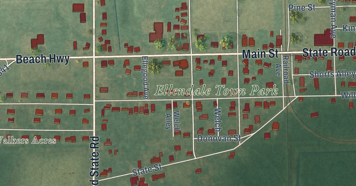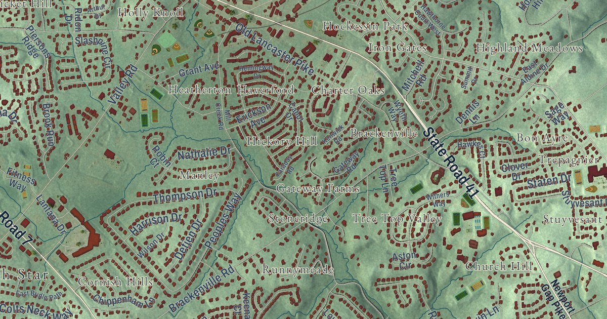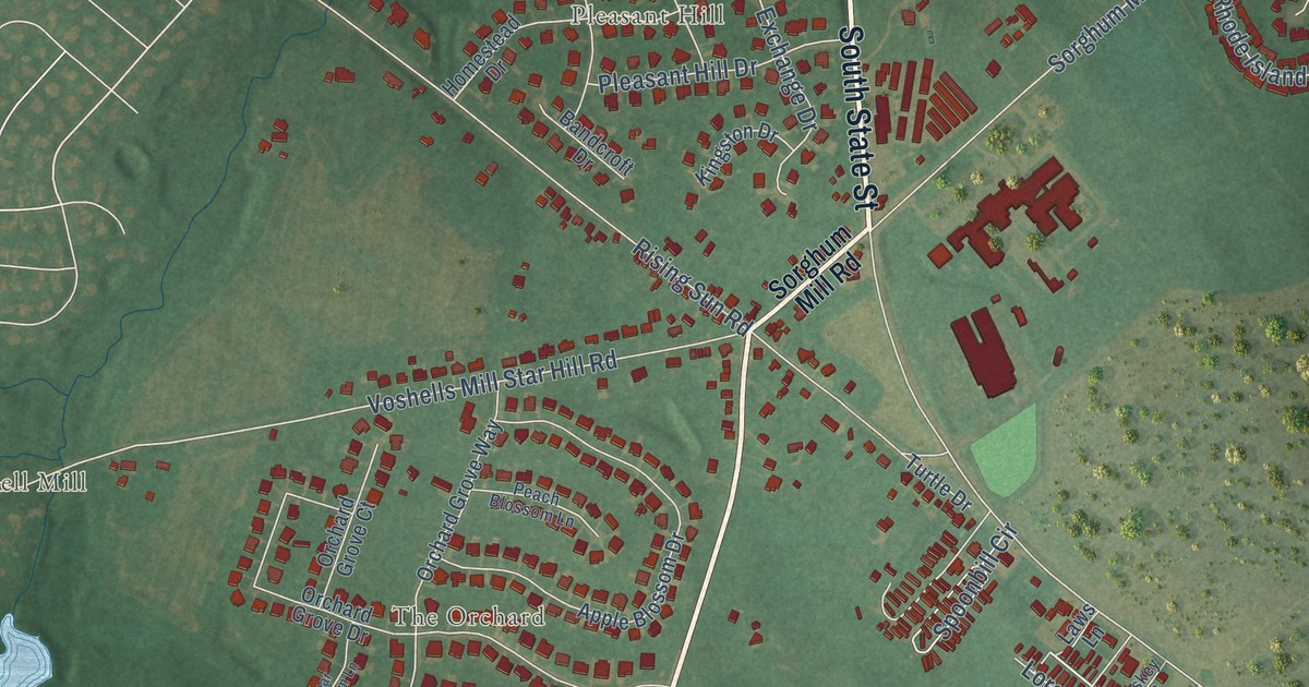
This beautifully detailed map of Rising Sun-Lebanon, Delaware was created in 2026 using aerial imagery combined with modern topographical, census, street and landmark data. It’s a one-of-a-kind view of Rising Sun-Lebanon that combines accurate data with a vintage aesthetic. The map shows every building in its true location, many of the roads carry their names, and the shaded topographic relief shows the shape of the land.
Explore an aerial view of Rising Sun-Lebanon, Delaware
On the map you’ll find Browns Corner, Cypress Gardens, George Meyers Development, Lebanon, Pleasant Hill, Rising Sun, The Orchard, and Voshell Mill, along with State Road 10 Alt, Walnut Shade Road, South State Street, Vermont Drive, and more. If you look closely you can even find your house accurately drawn in its correct location. Zoom in on the preview to look for yours.
Did you know this piece of Rising Sun-Lebanon, Delaware history?
From the Delaware A Guide to the First State: "Lebanon was, to some extent, the port of Dover, 4 miles up the crooked little stream."
Take a closer look at the Rising Sun-Lebanon map
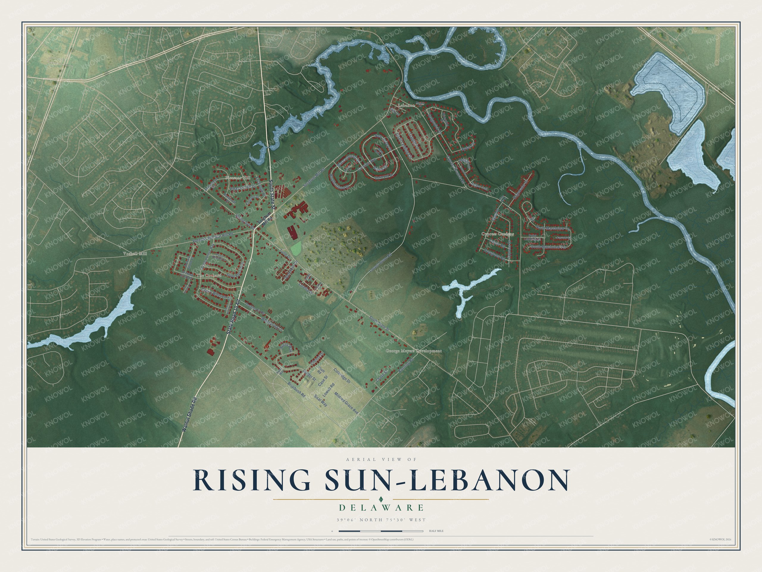
Street and place names on the Rising Sun-Lebanon, Delaware map
These names are printed on the map of Rising Sun-Lebanon, Delaware.
Places: Lebanon, Voshell Mill, George Meyers Development, Cypress Gardens, The Orchard and Pleasant Hill.
Streets and roads: State Road 10 Alt, Walnut Shade Road, South State Street, Vermont Drive, New Jersey Drive, Massachusett Drive, Carolina Avenue, Maine Drive, Loretta Drive, Cypress Branch Road, Sorghum Mill Road, Locust Grove Road.
More street names, A to Z
Abigail Lane, Amy Avenue, Apple Blossom Drive, Bandcroft Drive, Banning Road, Briarbush Road, Burns Way, Case Street, Center Road, Chase Street, Cherry Blossom Court, Cherry Blossom Drive, Cilento Drive, Coleridge Drive, Cypress Drive, Doty Drive, Douglas Fir Road, Edgewater Drive, Evergreen Road, Exchange Drive, Farrow Court, Foskey Lane, Georgia Lane, Golder Street, Homestead Drive, Jogger Trail, Kingston Drive, Laws Lane, Lowell Road, Mildred Grace Avenue, New York Lane, North Marshview Terrace, Orchard Grove Court, Orchard Grove Drive, Orchard Grove Way, Pacer Way, Peach Blossom Lane, Pear Blossom Lane, Plath Road, Pleasant Hill Drive, Point Landing Lane, Quail Landing Circle, Raylen Court, Rhode Island Drive, Rising Sun Road, Riverside Drive, Rydal Circle, Sedgewick Drive, Sisal Way, South Marshview Terrace, Spoonbill Circle, Stray Cat Lane, Tern Court, Trapper Lane, Turtle Drive, Voshells Mill Star Hill Road, West Drive, Whispering Lane.
See the Rising Sun-Lebanon, Delaware map on a wall
The Rising Sun-Lebanon map as an 18 x 24 inch print in a black frame.

This beautifully detailed map of Rising Sun-Lebanon makes an attractive addition to your office, library, or den, and it can even be used to teach children the geography and history of the area. It also makes a great gift for someone who left Rising Sun-Lebanon and still calls it home. When you’re done exploring, click here to get your copy of the Rising Sun-Lebanon map.