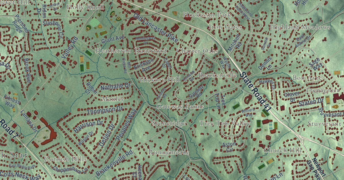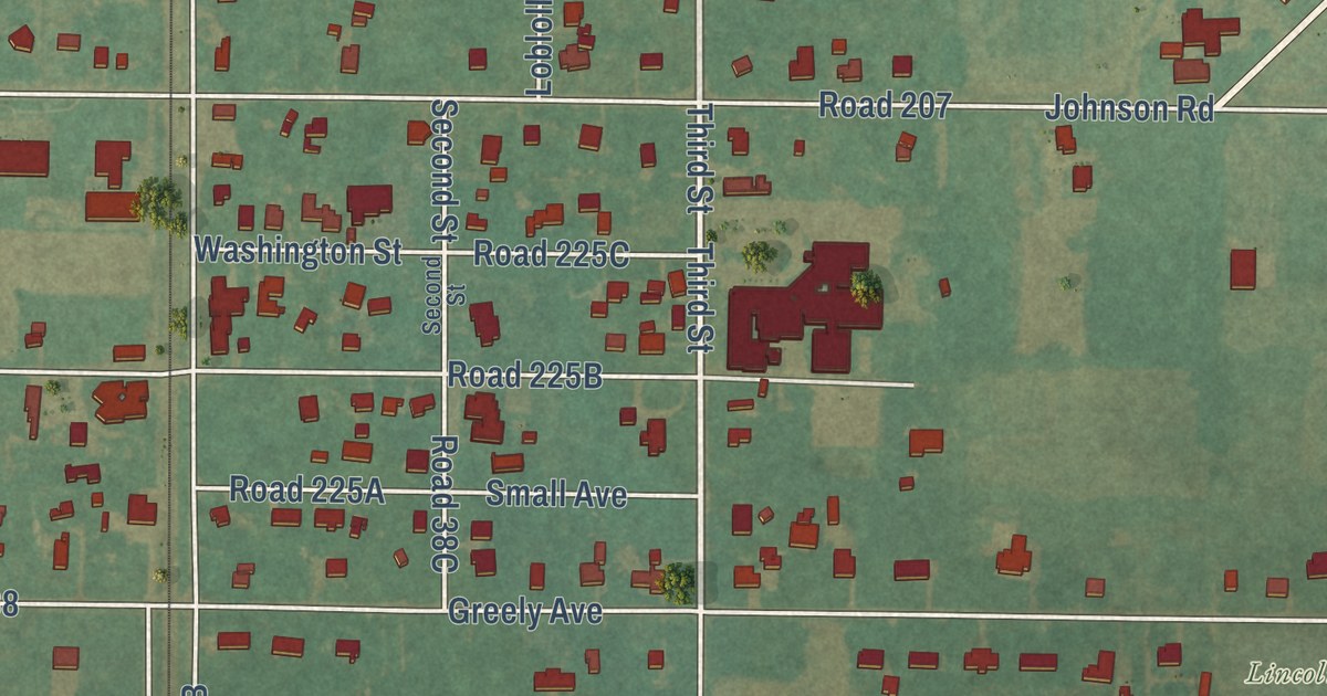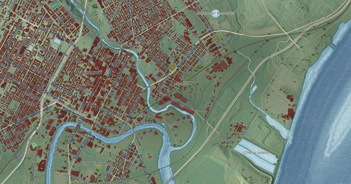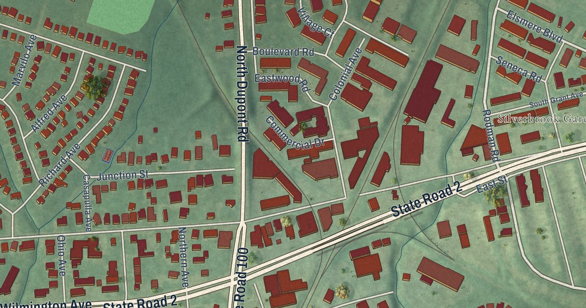
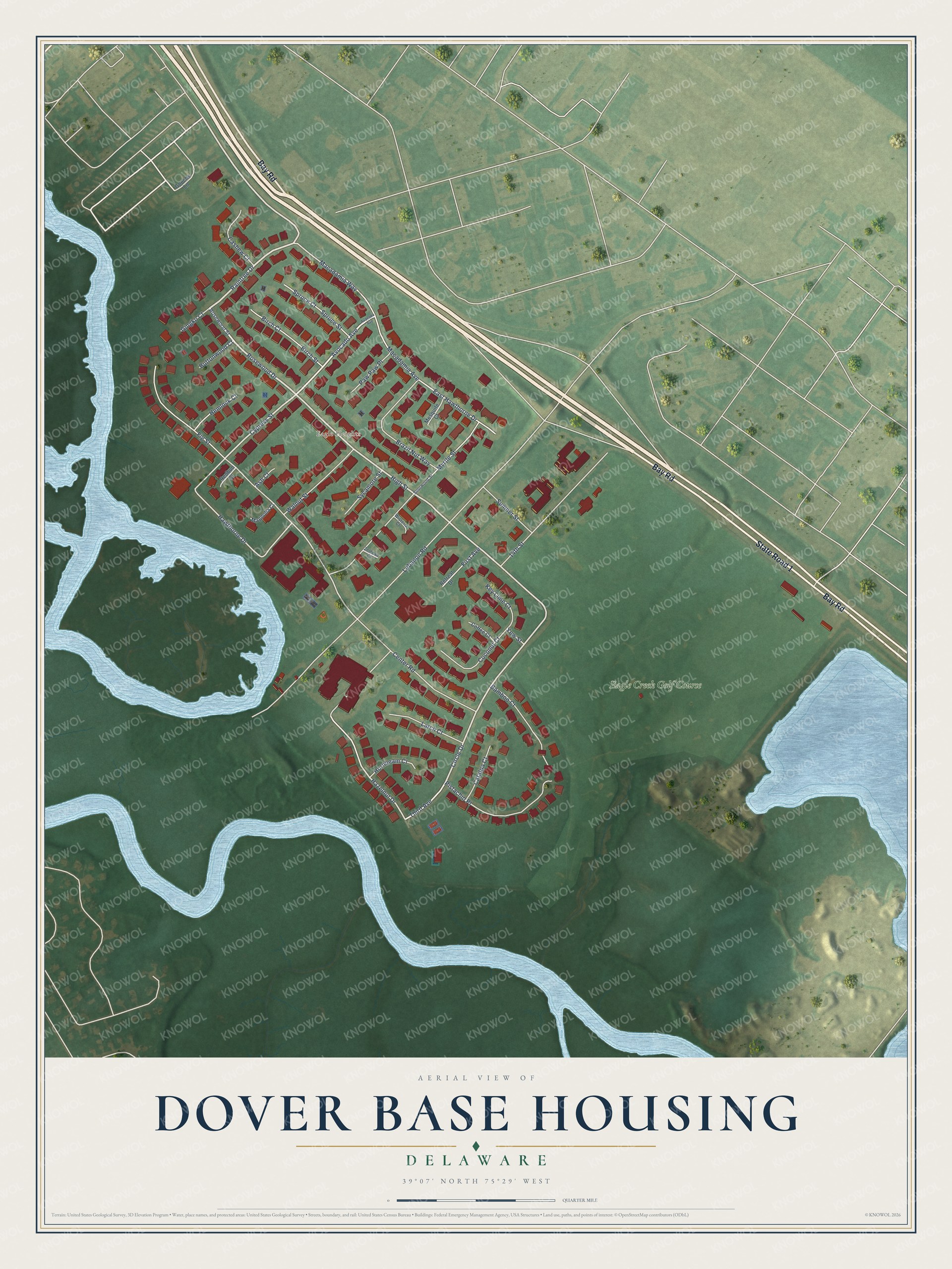
This beautifully detailed map of Dover Base Housing, Delaware was created in 2026 using aerial imagery combined with modern topographical, census, street and landmark data. It’s a one-of-a-kind view of Dover Base Housing that combines accurate data with a vintage aesthetic. The map shows every building in its true location, many of the roads carry their names, and the shaded topographic relief shows the shape of the land.
Explore an aerial view of Dover Base Housing, Delaware
On the map you’ll find Eagle Heights and Eagle Creek Golf Course, along with Bay Road, State Road 1, Rosewood Drive, Hawthorne Drive, Raintree Drive, Avocado Avenue, High Street, Circle Drive, Cypress Street, Hazelnut Drive, and more. If you look closely you can even find your house accurately drawn in its correct location. Zoom in on the preview to look for yours.
Did you know this piece of Dover Base Housing, Delaware history?
From the Congressional Record: "Control of the Base was transferred to the Ninth Air Force in February 1949. In February 1951, the Dover Air Force Base was reactivated and put under the jurisdiction of the Air Defense Command, ADC, with different fighter squadrons using the airfield over the course of the next 7 years."
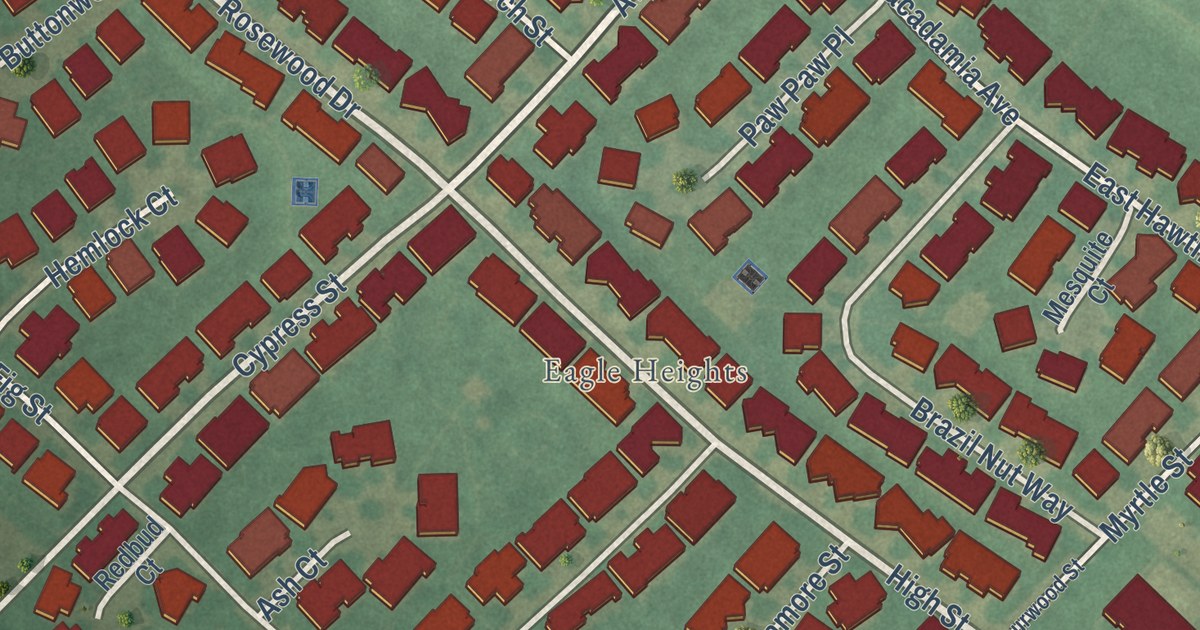
Take a closer look at the Dover Base Housing map
Street and place names on the Dover Base Housing, Delaware map
These names are printed on the map of Dover Base Housing, Delaware.
Places: Eagle Heights and Eagle Creek Golf Course.
Streets and roads: Bay Road, State Road 1, Hawthorne Drive, Rosewood Drive, Raintree Drive, Avocado Avenue, High Street, Circle Drive, Cypress Street, Hazelnut Drive, East Hawthorne Drive, Macadamia Avenue.
More street names, A to Z
14th Street, Ash Court, Avacado Avenue, Bamboo Court, Birch Court, Birch Street, Brazil Nut Way, Buttonwood Court, Cashew Court, Catalpa Court, Center Road, Coconut Court, Coffee Court, Fig Street, First Avenue, Gingko Court, Goochs Lane, Hemlock Court, Hornbeam Court, Key Lime Court, Larch Court, Lebanon Road, Macadamia Way, Magnolia Court, Mesquite Court, Myrtle Street, Paw Paw Place, Pistachio Place, Redbud Court, Retreat Drive, Rosewood Street, Sourwood Street, Spruce Court, Spruce Street, Sumner Street, Sycamore Street, Third Avenue, Walnut Street, Wisteria Court, Yew Street, Zelkova Court.
See the Dover Base Housing, Delaware map on a wall
The Dover Base Housing map as an 18 x 24 inch print in a black frame.

This beautifully detailed map of Dover Base Housing makes an attractive addition to your office, library, or den, and it can even be used to teach children the geography and history of the area. It also makes a great gift for someone who left Dover Base Housing and still calls it home. When you’re done exploring, click here to get your copy of the Dover Base Housing map.