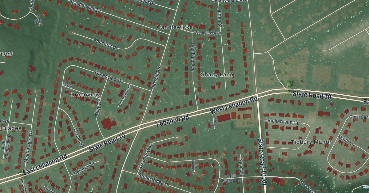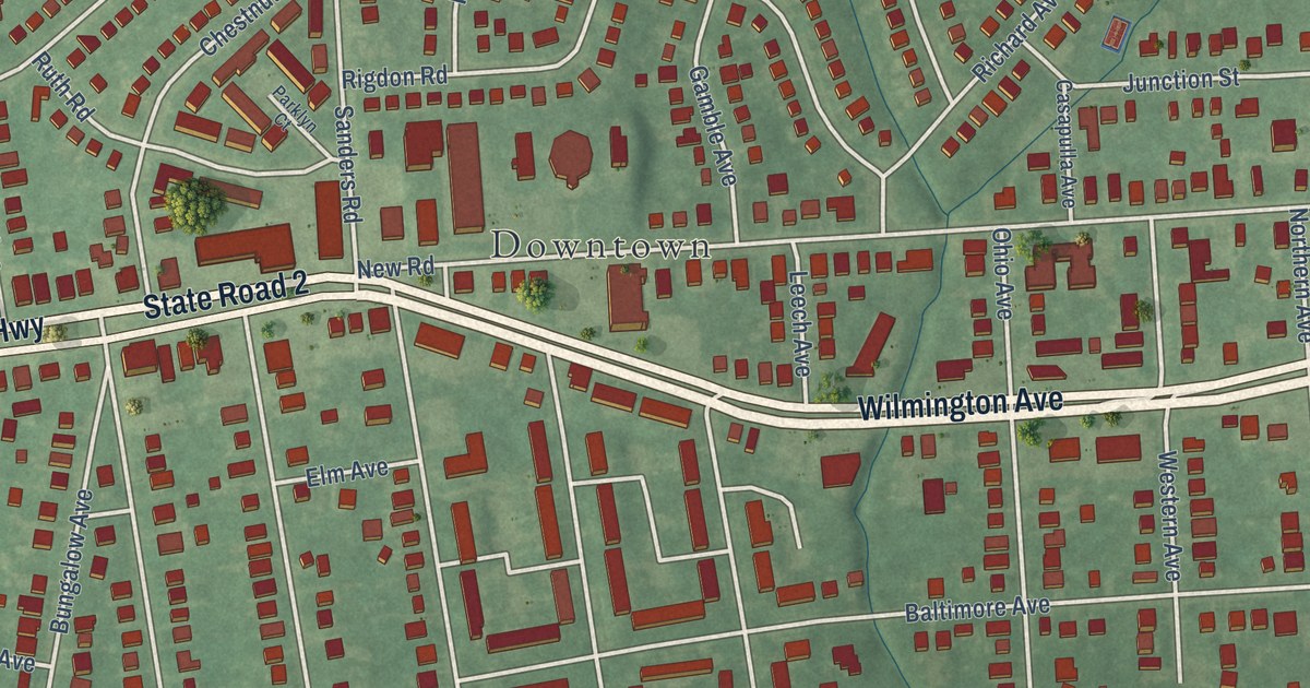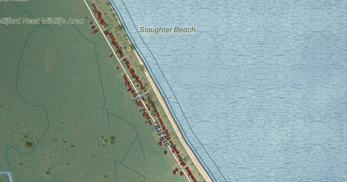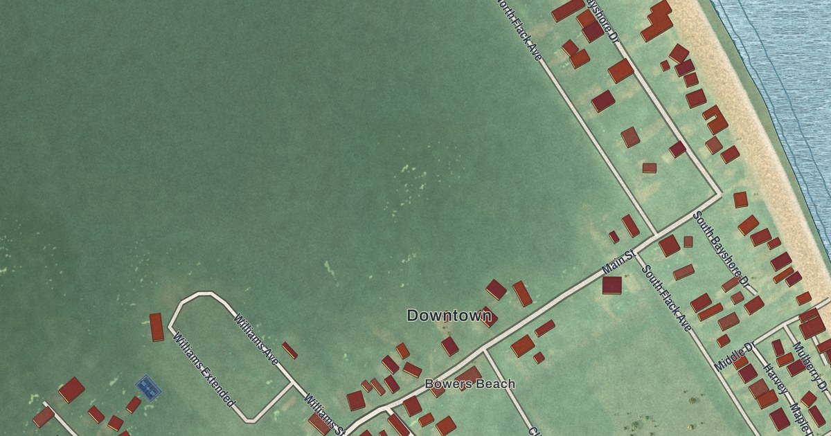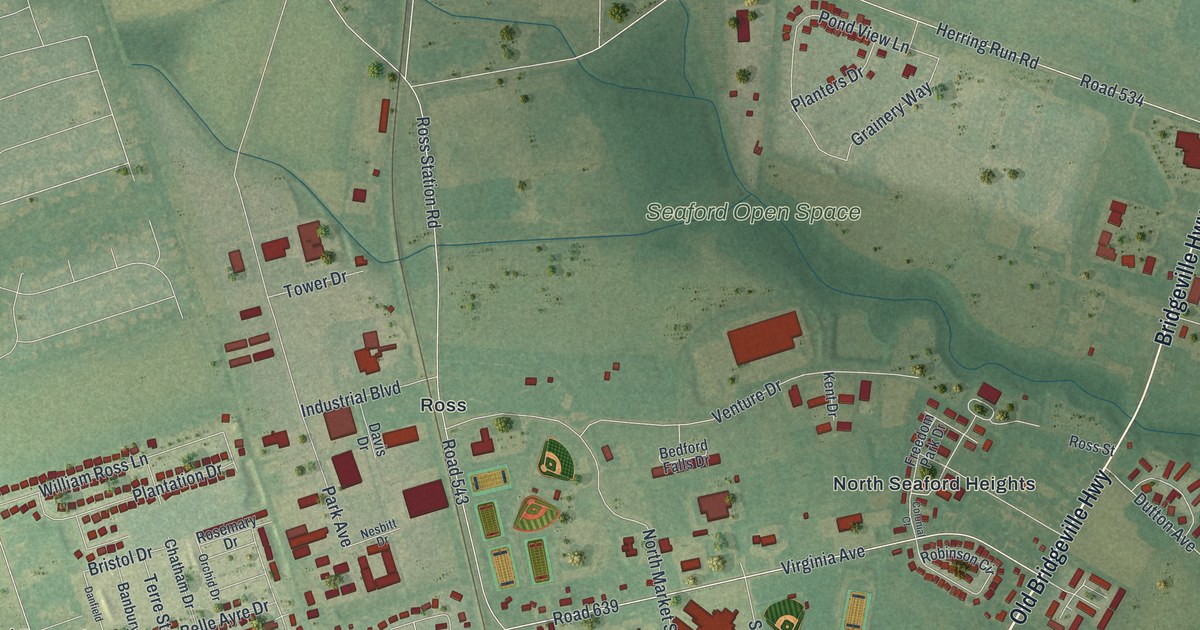
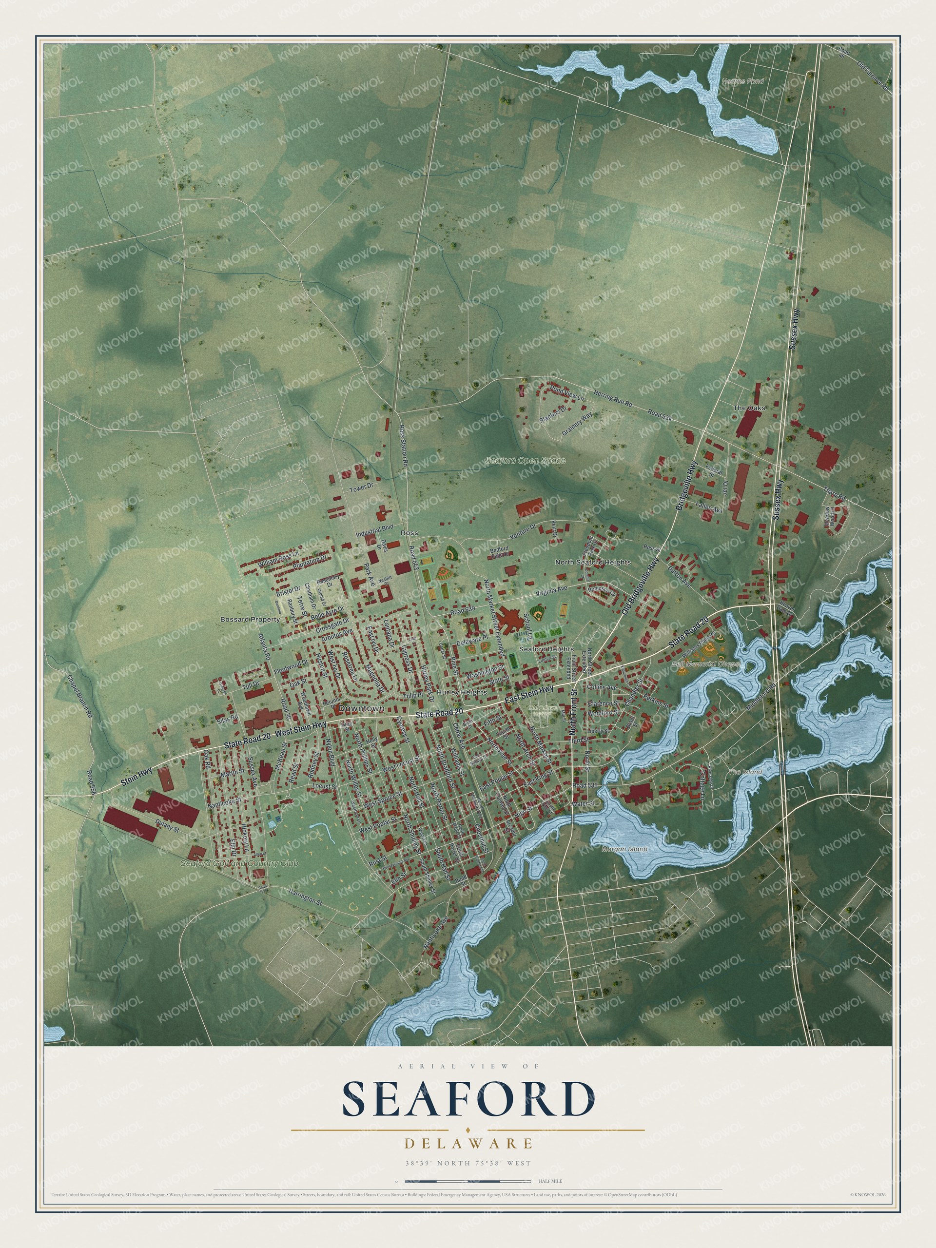
This beautifully detailed map of Seaford, Delaware was created in 2026 using aerial imagery combined with modern topographical, census, street and landmark data. It’s a one-of-a-kind view of Seaford that combines accurate data with a vintage aesthetic. The map shows every building in its true location, many of the roads carry their names, and the shaded topographic relief shows the shape of the land.
Explore an aerial view of Seaford, Delaware
On the map you’ll find Downtown, Bell Memorial Chapel, Seaford Open Space, Hearns Pond, Morgan Island, Seaford Golf and Country Club, The Island, Odd Fellows Cemetery, Bossard Property, Hurley Heights, North Seaford Heights, Ross, and more. If you look closely you can even find your house accurately drawn in its correct location. Zoom in on the preview to look for yours.
Did You Know?
From the Delaware Public Archives: "SC-114: In 1926 a group of local World War I veterans held a meeting in Burton’s Hardware Store for the purpose of organizing an American Legion Post in Seaford."
Take a closer look at the Seaford map
Names on this map
These names are printed on this map.
Places: Downtown, Bell Memorial Chapel, Seaford Open Space, Hearns Pond, Morgan Island, Seaford Golf and Country Club, The Island, Odd Fellows Cemetery, Bossard Property, Hurley Heights, North Seaford Heights, Ross, Seaford Heights and The Oaks.
Streets and roads: State Road 20, West Stein Highway, North Front Street, East Stein Highway, Old Bridgeville Highway, Sussex Highway, Stein Highway, Bridgeville Highway, Pine Street, Virginia Avenue, Road 639, Magnolia Drive.
More street names, A to Z
Allen Street, Arbutus Avenue, Arcadia Street, Atlanta Road, Banbury Street, Beaver Dam Drive, Bedford Falls Drive, Belle Ayre Drive, Bristol Drive, Budd Street, Cedar Avenue, Cedar Street, Chandler Street, Chapel Branch Road, Chatham Drive, Chestnut Street, Clarence Street, Collins Avenue, Colonial Court, Cottage Lane, Crossgate Drive, Cypress Drive, Cypress Street, Danfield, Davis Drive, Delaware Place, Dulany Street, Dutton Avenue, East Ivy Drive, East King Street, East Poplar Street, East Spruce Street, Elm Drive, Elm Street, Fallen Avenue, Federal Street, Fifth Street, Fleetwood Drive, Fourth Street, Freedom Park Drive, Front Street Extended, Grainery Way, Grant Street, Grayson Court, Gray Street, Harrington Street, Herring Run Road, Hickory Lane, High Street, Holly Street, Hurley Park Drive, Huston Street, Industrial Boulevard, Jet Drive, Kent Drive, Kimbrough Court, Lantana Drive, Liberty Street, Lilac Lane, Linden Street, Locust Street, Martin Street, McKean Street, Meadow Wood Court, Middleford Road, Mill Street, Nanticoke Avenue, Nanticoke Street, Nesbitt Drive, North Arch Street, North Bradford Street, North Conwell Street, North Delaware Avenue, North Hall Street, North Maple Street, North Market Street, North Market Street Extended, North Phillips Street, North Pine Street, North Porter Street, North Shipley Street, North Street, North Street Extended, North Willey Street, Nylon Boulevard, Oak Road, Oak Street, Old Furnace Road, Orchid Drive, Park Avenue, Pennsylvania Avenue, Perkins Street, Petunia Place, Plantation Drive, Planters Drive, Pond View Lane, Read Street, Riverside Drive, Road 30, Road 46, Road 534, Road 535, Road 536, Road 543, Road 556, Robinson Circle, Rodney Street, Rosemary Drive, Rosetree Lane, Ross Station Road, Ross Street, Rust Street, School Lane, Silas Road, Sixth Street, South Bradford Street, South Hall Street, South Pine Street, South Porter Street, South Shipley Street, State Street, Sussex Avenue, Terre Street, Tharp Road, Third Street, Tower Drive, Tulip Place, Tull Drive, Venture Drive, Walnut Lane, Washington Street, Water Street, West Ivy Drive, Westland Lane, West Locust Street, West Poplar Street, West Spruce Street, William Ross Lane, Williams Pond Road, Williams Street, Woodlawn Avenue, Woolford Street.
See it on a wall
The Seaford map as an 18 x 24 inch print in a black frame.

This beautifully detailed map of Seaford makes an attractive addition to your office, library, or den, and it can even be used to teach children the geography and history of the area. It also makes a great gift for anyone with Seaford roots. When you’re done exploring, click here to get your copy of the Seaford map.