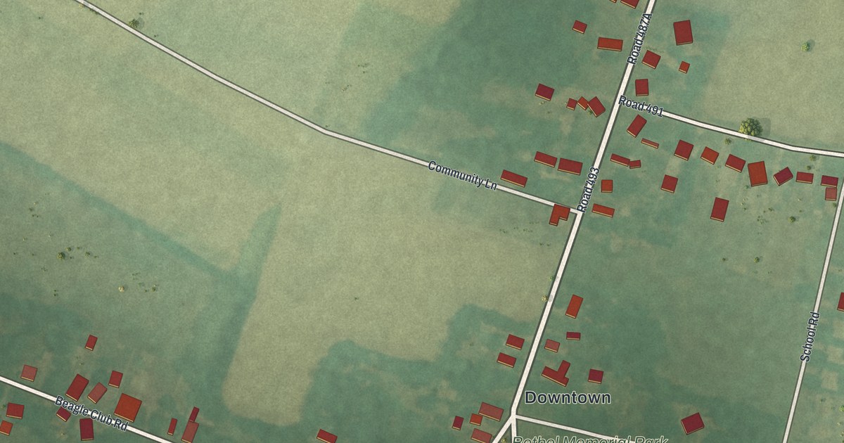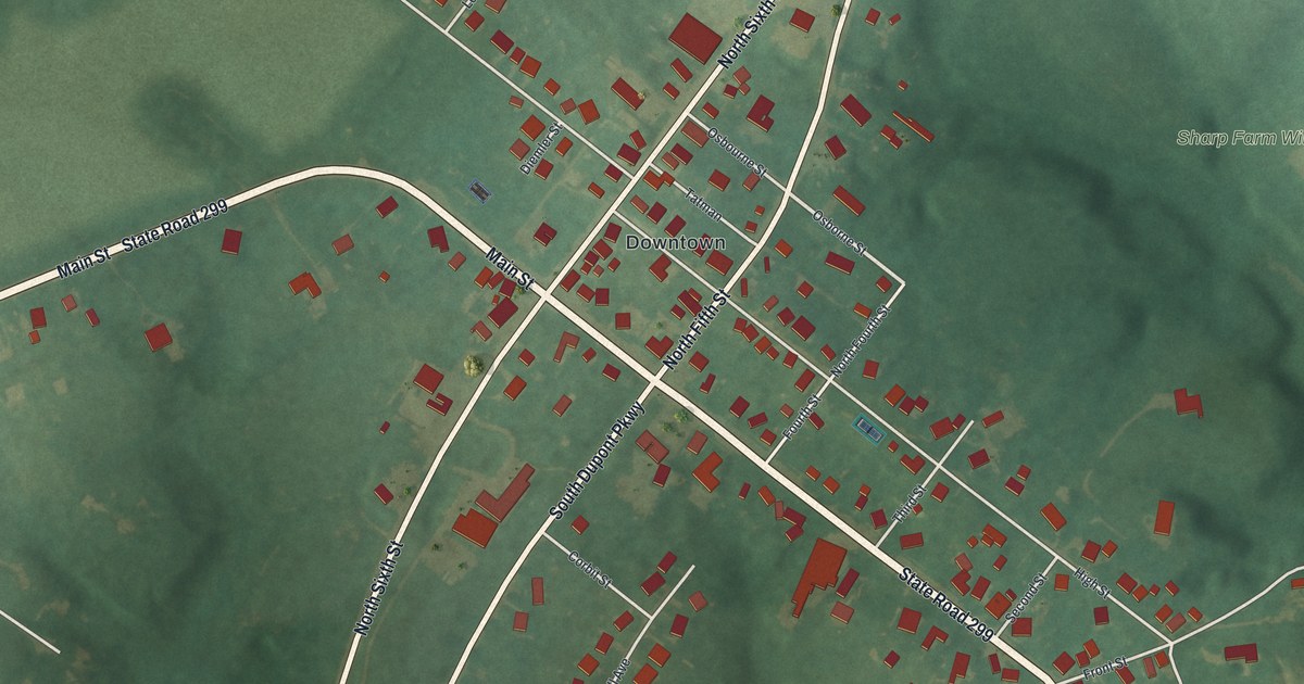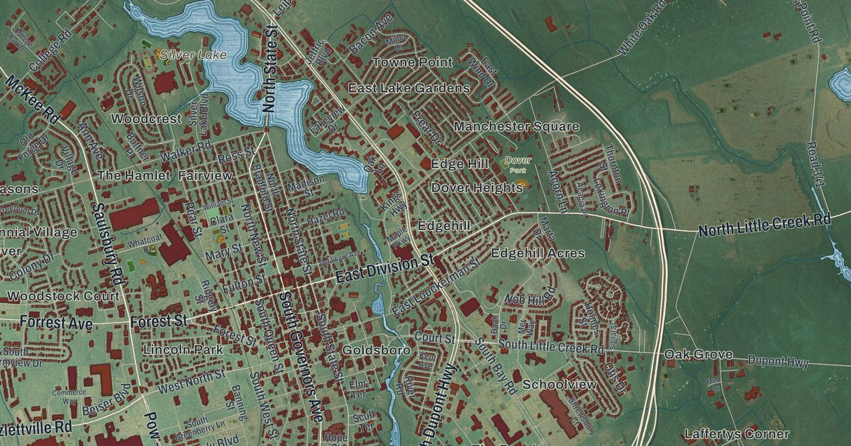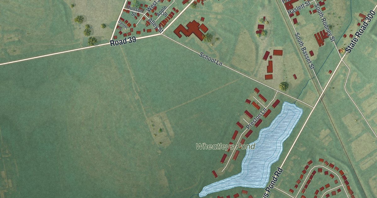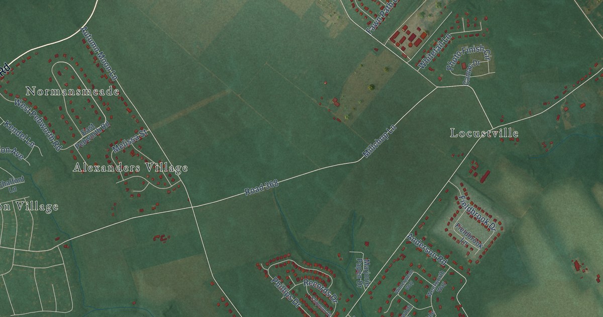
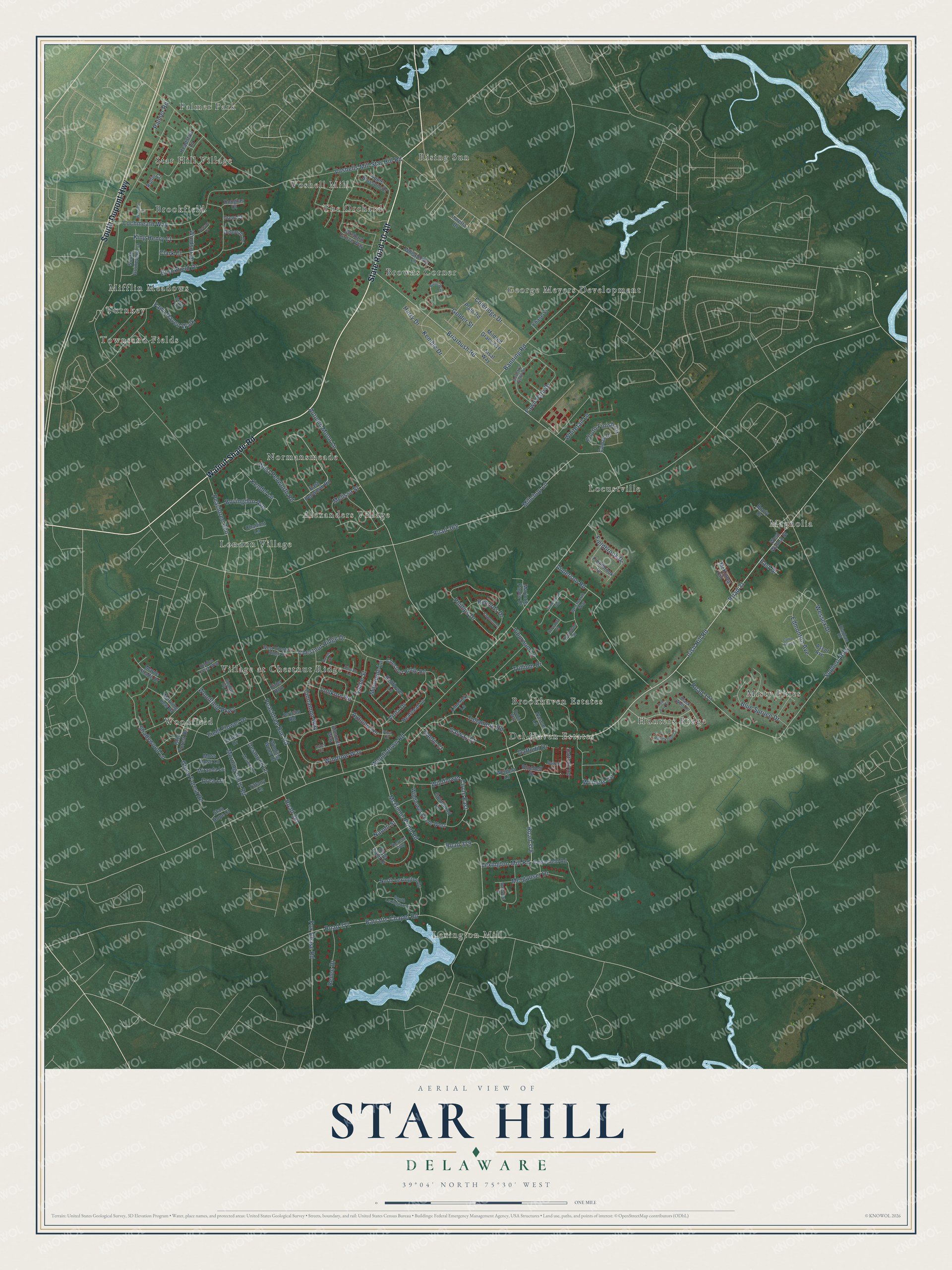
This beautifully detailed map of Star Hill, Delaware was created in 2026 using aerial imagery combined with modern topographical, census, street and landmark data. It’s a one-of-a-kind view of Star Hill that combines accurate data with a vintage aesthetic. The map shows every building in its true location, many of the roads carry their names, and the shaded topographic relief shows the shape of the land.
Explore an aerial view of Star Hill, Delaware
On the map you’ll find Alexanders Village, Rising Sun, Lexington Mill, Magnolia, Brookfield, Hunters Ridge, Village at Chestnut Ridge, Turnkey, Browns Corner, Locustville, Woodfield, George Meyers Development, and more. If you look closely you can even find your house accurately drawn in its correct location. Zoom in on the preview to look for yours.
Did You Know?
Star Hill was one of the early African American settlements in Kent County. Its AME church was a safe haven on the Underground Railroad and hosted meetings against slavery. The church now houses the Star Hill Museum, which tells the story of slavery and freedom in the county.
Take a closer look at the Star Hill map
Names on this map
These names are printed on this map.
Places: Alexanders Village, Rising Sun, Lexington Mill, Magnolia, Brookfield, Hunters Ridge, Village at Chestnut Ridge, Turnkey, Browns Corner, Locustville, Woodfield, George Meyers Development, Del Haven Estates, Misty Pines, London Village, Palmer Park, Voshell Mill, The Orchard, Normansmeade, Brookhaven Estates, Townsend Fields, Star Hill Village and Mifflin Meadows.
Streets and roads: State Road 10 Alt, Walnut Shade Road, South Dupont Highway, Irish Hill Road, Road 31, Lexington Mill Road, Glenn Forest Road, Road 378, Peachtree Run Road, Woodlytown Road, Millchop Lane, Road 368.
More street names, A to Z
Almonds Way, Anderson Road, Apple Blossom Drive, Ascot Avenue, Autumn Moon Lane, Autumn Terrace, Banning Road, Barratts Chapel Road, Begonia Lane, Bellflower Lane, Benson Court, Black Wolf Court, Bluebell Drive, Blue Spruce Drive, Boone Court, Booty Drive, Bovingdon Avenue, Briarbush Road, Bridal Path, Brookfield Drive, Burns Way, Camac Drive, Cedarfield Road, Chalfont Lane, Chase Street, Chestnut Ridge Drive, Chestnut Ridge Road, Chipman Drive, Cider Run, Cinnamon Way, Clapham Road, Clark Court, Coleridge Drive, Country Field Drive, Cullin Hills Lane, Daffodil Drive, Daffodil Road, Deborah Drive, Desmond Lane, Douglas Court, Drea Lane, Drew Court, East Drive, East Pebworth Road, Edmonton Avenue, English Ivy Lane, Esker Circle, Fawn Haven Walk, Fawn Path Drive, Fieldbrook Drive, Fieldbrook Lane, Field Flower Drive, Fox Chase Road, Gaelic Court, Galway Court, Glen Forest Drive, Goldenrod Lane, Golder Street, Harry Drive, Headstart Lane, Heartleaf Lane, Hidden Creek Way, Janelle Drive, Jericho Road, Kemble Drive, Kendel Lane, Kennison Lane, King Henry Court, Limerick Lane, Lochmeath Way, Loretta Drive, Maple Shade Drive, Marjorie Papen Drive, Mayapple Lane, McGinnis Pond Road, McKinley Circle, Melinda Lane, Melissa Street, Merganser Drive, Mildred Grace Avenue, Miranda Lane, Morning Dew Drive, Morning Glory Road, Moss Rose Lane, Naomi Street, Nascar Lane, North Lexington Drive, Olde Field Drive, Orchard Grove Way, Palmer Road, Peachtree Run, Phillips Drive, Photo Finish Circle, Pitch Kettle Court, Plath Road, Plica Circle, Records Drive, Red Fox Court, Renee Drive, Road 371, Road 377, Road 379, Road 381, Robin Way, Rollin Court, Sabbe Street, Shadywood Lane, Sisal Way, Sisson Lane, Snowdrift Circle, Sophers Row, South Guinevere Court, South Lexington Drive, Stan Hope Court, Theresa Way, Thorndale Circle, Tiffany Lane, Trillium Drive, Tullamore Road, Viburnum Lane, Viola Drive, Vollkorn Road, Voshells Mill Star Hill Road, Waterfowl Drive, Weigela Lane, Wentworth Way, Wessex Drive, West Chestnut Ridge Drive, West Pebworth Road, West Walnut Street, Whispering Lane, Whitetail Lane, Wildflower Circle East, Wildflower Circle West, Winding Wood Drive, Windrow Way, Windsor Drive, Winners Circle, Wintergreen Way, Woodfield Parkway.
See it on a wall
The Star Hill map as a framed print. Swipe for more.


This beautifully detailed map of Star Hill makes an attractive addition to your office, library, or den, and it can even be used to teach children the geography and history of the area. It also makes a great gift for anyone who grew up in Star Hill or moved away. When you’re done exploring, click here to get your copy of the Star Hill map.