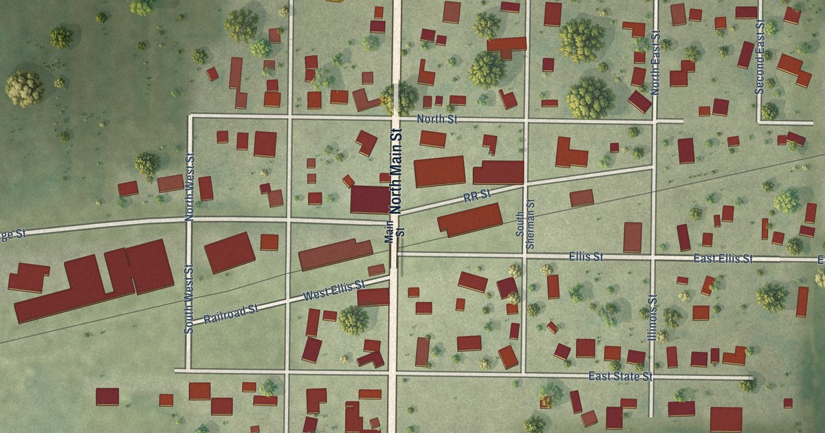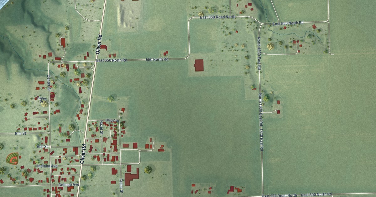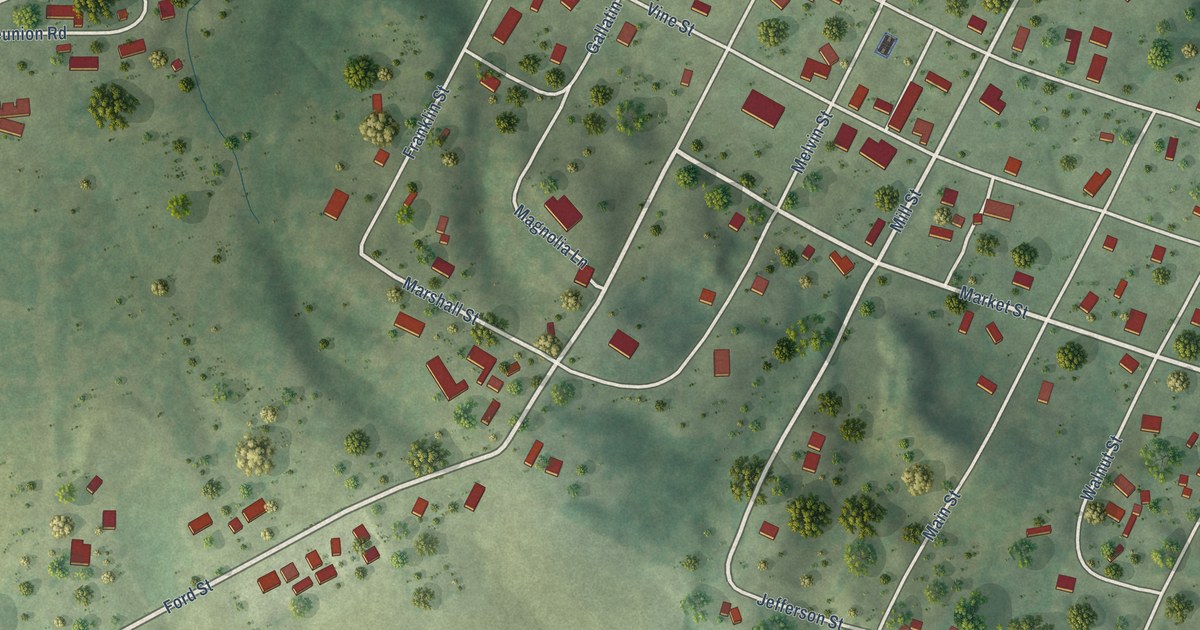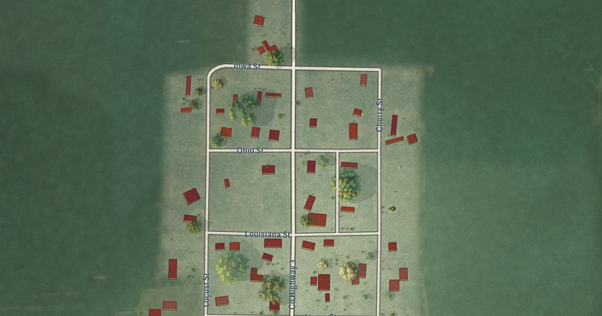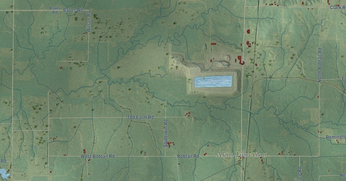
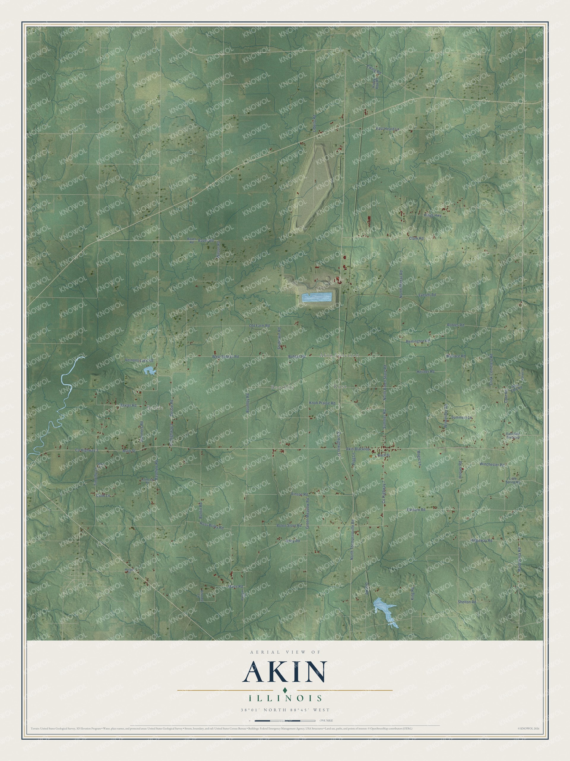
This beautifully detailed map of Akin, Illinois was created in 2026 using aerial imagery combined with modern topographical, census, street and landmark data. It’s a one-of-a-kind view of Akin that combines accurate data with a vintage aesthetic. The map shows every building in its true location, many of the roads carry their names, and the shaded topographic relief shows the shape of the land.
Explore an aerial view of Akin, Illinois
On the map you’ll find Bessie, Boothby, Akin Junction, and Rust, along with North Thompsonville Road, County Highway 7, Summer Road, North Bolen Store Road, Macedonia Road, Baxter Road, Eastern Road, Bobtail Road, and more. If you look closely you can even find your house accurately drawn in its correct location. Zoom in on the preview to look for yours.
Did You Know?
From the 1878 Past and Present of Kane County, Illinois: "The next house within the present village limits was put up by Arthur Akin, near Mc Wayne's spring."
Akin is a community in Franklin County.
Take a closer look at the Akin map
Names on this map
These names are printed on this map.
Places: Bessie, Boothby, Akin Junction and Rust.
Streets and roads: North Thompsonville Road, County Highway 7, Summer Road, North Bolen Store Road, Macedonia Road, Baxter Road, Eastern Road, Bobtail Road, Baves Road, Bessie Road, Akin Blacktop, County Highway 3.
More street names, A to Z
Baseline Road, Bauer Road, Bennett Lane, Black Street, Bolen Store Road, Boothby Road, Buntin Road, Clark Road, Cook Cemetery Road, Cook Lane, Corn Road, County Highway 2, County Highway 17, County Highway 18, Dial Road, East Akin Blacktop, East Heard Lane, Everett Road, Ewing Road, Green Meadow Road, Haithcoat Road, Hanagan Road, Happy Row Road, Heifner Road, Hoover Road, King Road, Kings Highway, Knob Prairie Road, Liberty Road, Little Spring Road, Mace Road, Magic Lane, Main Street, Morgan Street, North Bobtail Road, Old Farm Road, Pigg Lane, Remington Road, Ridgeway Road, Robles Road, Ross Briley Road, Shelton Road, Short Lane, Sniderwin Road, Summers Lane, Summers Road, Timothy Lane, Unity Road, Vernons Lake Road, Vinson Road, Wallace Road, West Bobtail Road, West Corn Road, Wilson Road, Winchester Road, Winemiller Road.
See it on a wall
The Akin map as a framed print. Swipe for more.


This beautifully detailed map of Akin makes an attractive addition to your office, library, or den, and it can even be used to teach children the geography and history of the area. It also makes a great gift for someone who left Akin and still calls it home. When you’re done exploring, click here to get your copy of the Akin map.