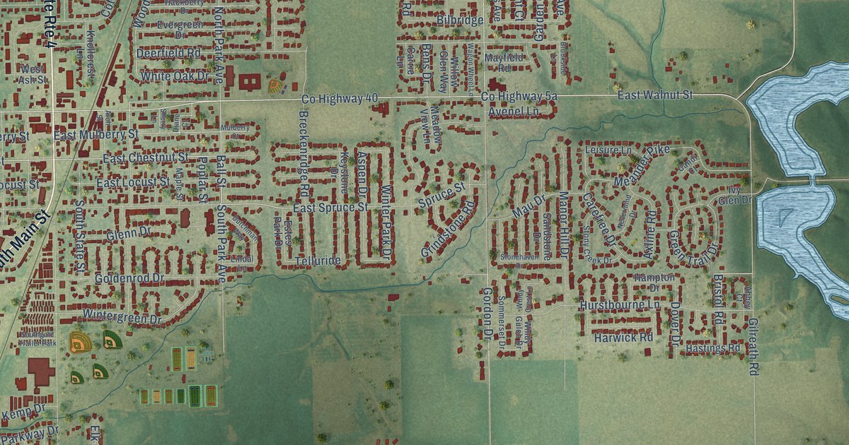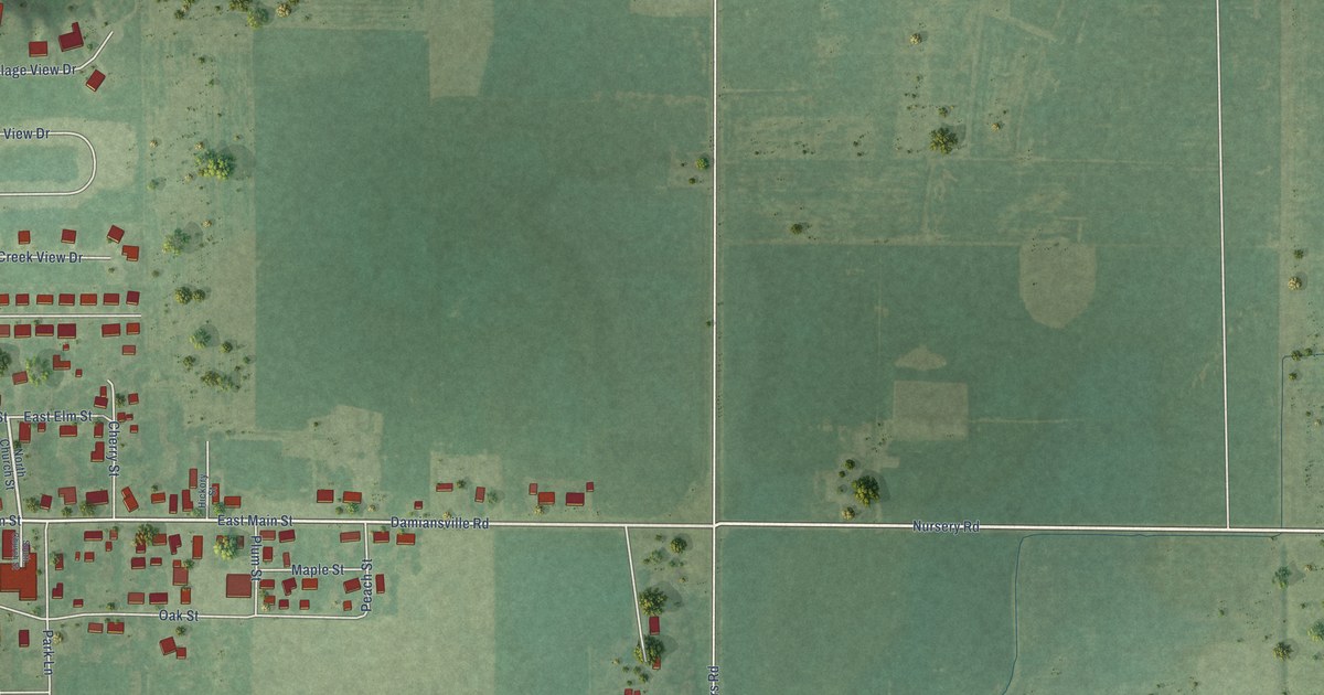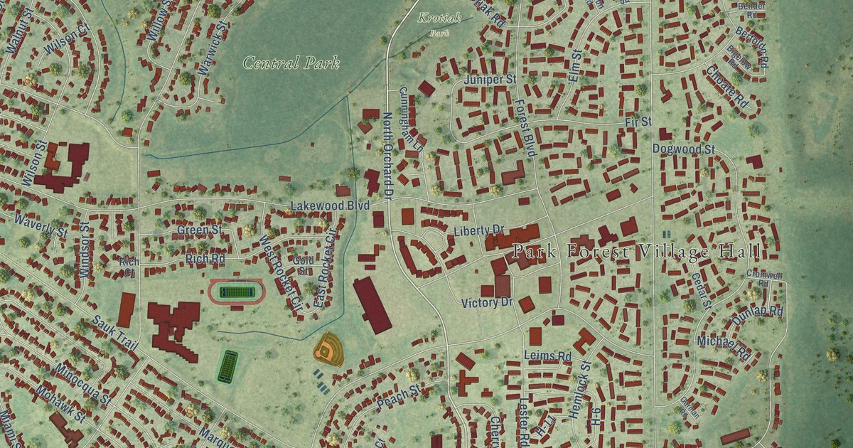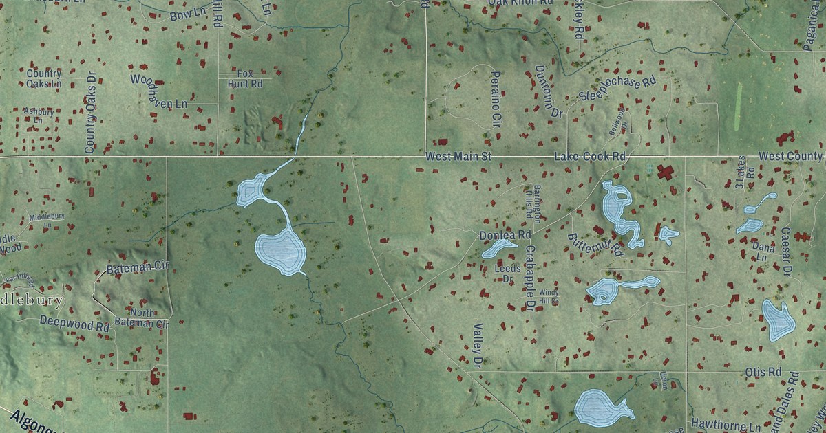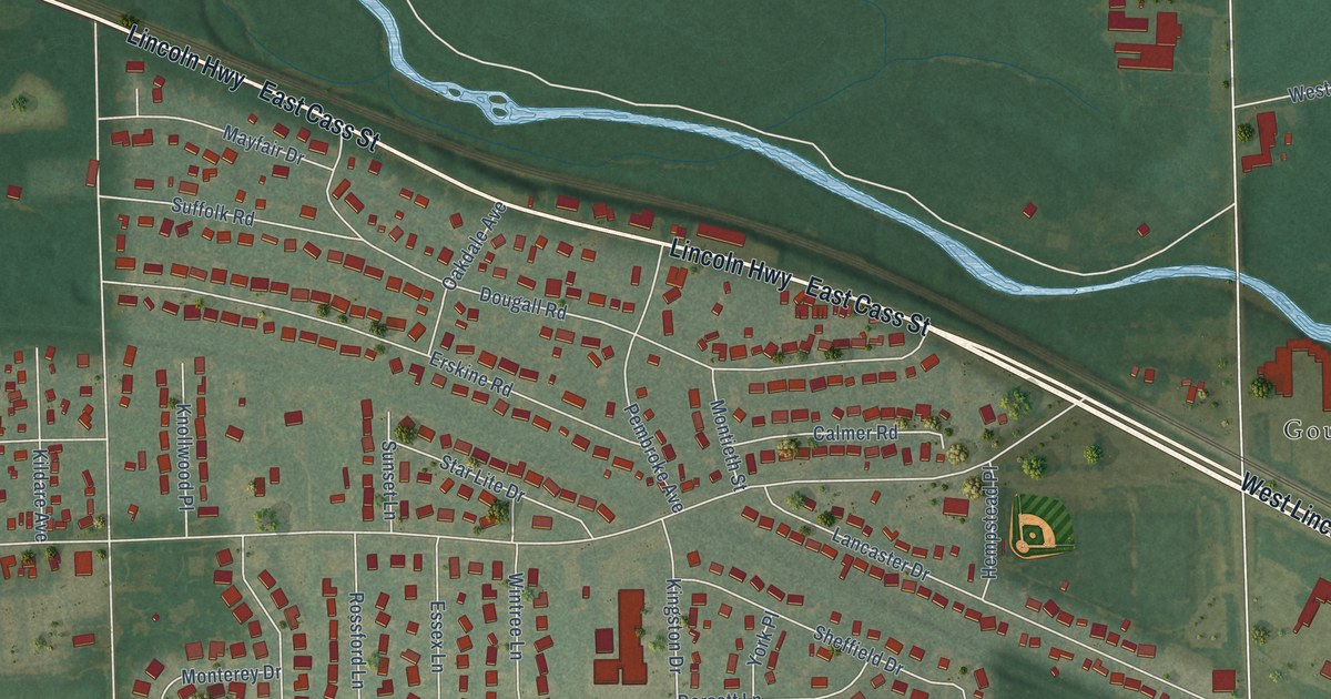
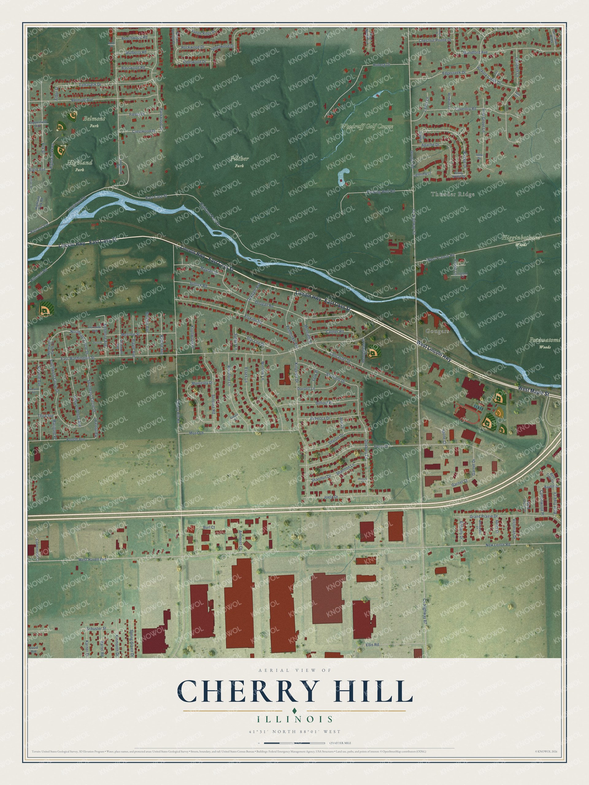
This beautifully detailed map of Cherry Hill, Illinois was created in 2026 using aerial imagery combined with modern topographical, census, street and landmark data. It’s a one-of-a-kind view of Cherry Hill that combines accurate data with a vintage aesthetic. The map shows every building in its true location, many of the roads carry their names, and the shaded topographic relief shows the shape of the land.
Explore an aerial view of Cherry Hill, Illinois
On the map you’ll find Belmont Park, Higginbotham Woods, Highland Park, Pilcher Park, Potawatomi Woods, Gougars, Thunder Ridge, and Woodruff Golf Course, along with East Cass Street, Lincoln Highway, West Lincoln Highway, West Maple Street, and more. If you look closely you can even find your house accurately drawn in its correct location. Zoom in on the preview to look for yours.
Take a closer look at the Cherry Hill map
Names on this map
These names are printed on this map.
Places: Belmont Park, Higginbotham Woods, Highland Park, Pilcher Park, Potawatomi Woods, Gougars, Thunder Ridge and Woodruff Golf Course.
Streets and roads: East Cass Street, Lincoln Highway, West Lincoln Highway, West Maple Street, Highland Park Drive, Navajo Drive, County Highway 52, Gougar Road, New Lenox Road, West Haven Avenue, Cherry Hill Road, East Washington Street.
More street names, A to Z
Abbey Court, Amherst Court, Ann Lane, Apache Drive, Arbor Street, Argyle Avenue, Auburn Court, Bartel Road, Basswood Road, Bayhill Drive, Beechwood Road, Belmont Avenue, Bent Tree Court, Bent Tree Lane, Berkley Avenue, Blandford Avenue, Boldt Drive, Brittany Drive, Burl Court, Calmer Road, Carlyle Drive, Chestnut Pointe Drive, Clairmont Avenue, Commercial Court, Copperfield Avenue, Cottonwood Place, County Highway 87, Coventry Road, Crazy Horse Drive, Crestwood Drive, David Avenue, Dorsett Lane, Dougall Road, Doxbury Court, Doxbury Lane, Edgecreek Drive, Elgin Avenue, Ellis Road, Erskine Road, Essex Lane, Ferro Drive, Fiesta Drive, Fleetwood Drive, Flowing Well Road, Forest Lane, Fourth Avenue, Fox Street, Garnet Court, Garnet Drive, Gifford Place, Grand Prairie Drive, Hanover, Hartford Place, Hempstead Place, Hickory Creek Drive, Highland Avenue, Highland Park Road, Highland Parkway, Hillcrest Road, Hoberg Drive, Independence Avenue, Ione Drive, Joela Drive, Julie Court, Karner Drive, Kenmore Avenue, Kildare Avenue, Kingston Drive, Kinmonth Drive, Knollwood Place, Lambeth Lane, Lancaster Drive, Lewis Lane, Lightning Court, Longwood Court, Longwood Drive, Lorraine Avenue, Marigold Place, Mayfair Drive, Melrose Street, Monterey Drive, Montieth Street, Moss Lane, Mulberry Road, Northeast Circle Drive, Northwest Circle Drive, Oakdale Avenue, Parkwood Drive, Pembroke Avenue, Pine Grove Lane, Pine Needle Lane, Pontiac Street, Pueblo Drive, Rebecca Drive, Rockwood Drive, Rossford Lane, Saddle Ridge Drive, Schorie Avenue, Schuster Street, Second Avenue, Shannon Drive, Shannon Lane, Sharon Drive, Sheffield Drive, Shortwood Drive, Somerset Acres, Sonoma Road, Southeast Circle Drive, Southwest Circle Drive, Spring Green Drive, Star Lite Drive, Stone Court, Suffolk Road, Sunset Lane, Tamarack Drive, Third Avenue, Timber Springs Drive, Tina Circle, Ugland Drive, Victorian Drive, West Francis Road, Whitewater Court, Wind Crest Lane, Windsor Lane, Wintree Lane, York Place.
See it on a wall
The Cherry Hill map as a framed print. Swipe for more.


This beautifully detailed map of Cherry Hill makes an attractive addition to your office, library, or den, and it can even be used to teach children the geography and history of the area. It also makes a great gift for anyone who grew up in Cherry Hill or moved away. When you’re done exploring, click here to get your copy of the Cherry Hill map.