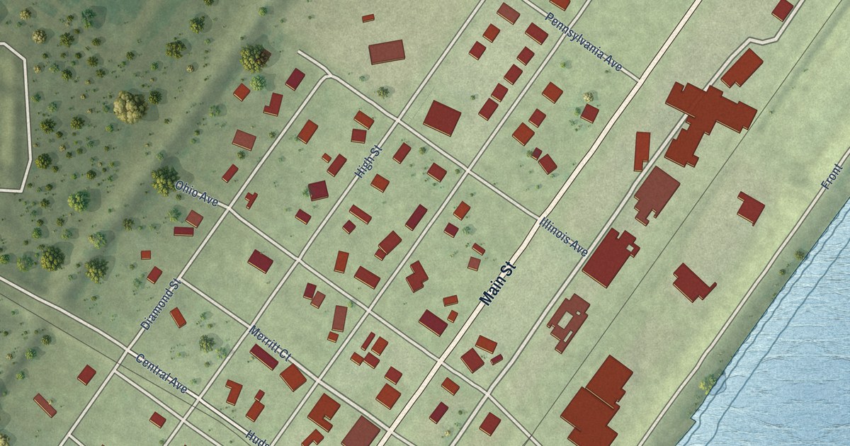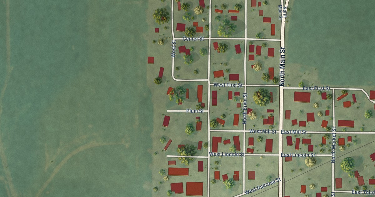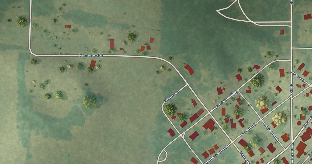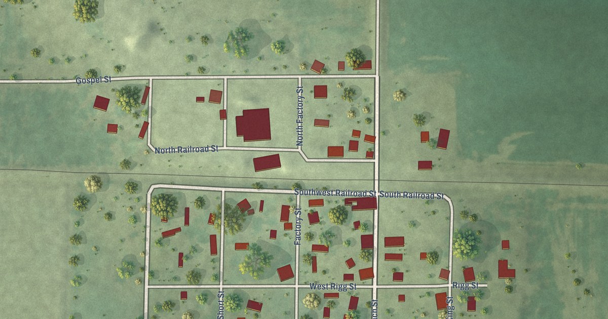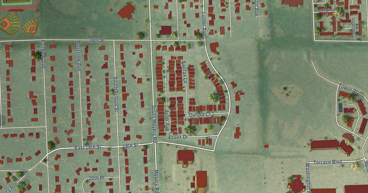
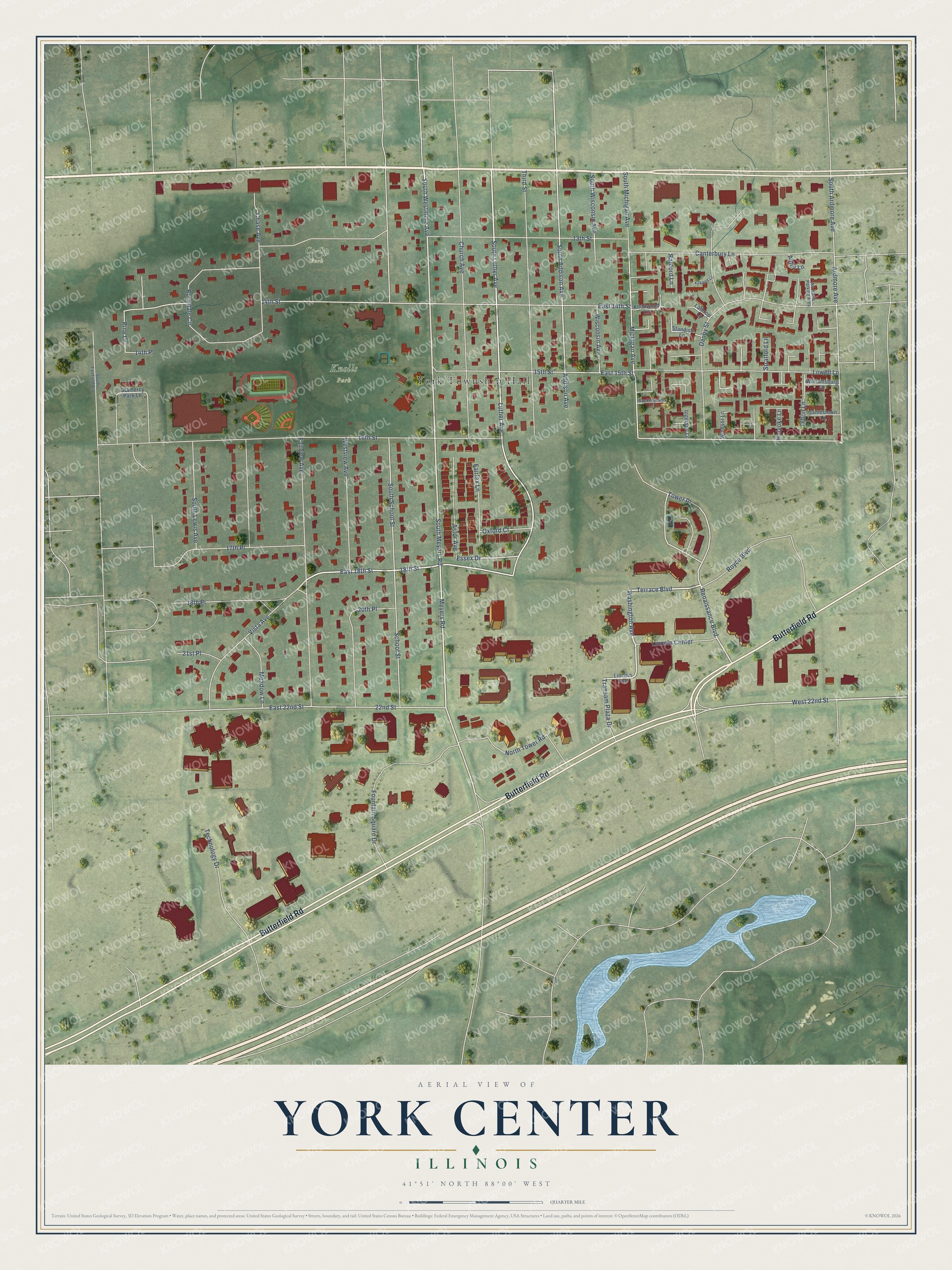
This beautifully detailed map of York Center, Illinois was created in 2026 using aerial imagery combined with modern topographical, census, street and landmark data. It’s a one-of-a-kind view of York Center that combines accurate data with a vintage aesthetic. The map shows every building in its true location, many of the roads carry their names, and the shaded topographic relief shows the shape of the land.
Explore an aerial view of York Center, Illinois
On the map you’ll find York Township Hall, Knolls Park, and Co-Op Park, along with Butterfield Road, Royce Boulevard, Renaissance Boulevard, Washington Avenue, Terrace Boulevard, South Meyers Road, 18th Street, East 18th Street, Luther Avenue, and more. If you look closely you can even find your house accurately drawn in its correct location. Zoom in on the preview to look for yours.
Did You Know?
York Center began right after World War II as a housing cooperative. Louis Shirky bought the Goltermann farm for it. The co-op welcomed all races, religions and ethnic groups. Its members joined the NAACP in a test case. In 1949, President Truman banned racial discrimination in federal housing loans.
York Center is a community in DuPage County.
Take a closer look at the York Center map
Names on this map
These names are printed on this map.
Places: York Township Hall, Knolls Park and Co-Op Park.
Streets and roads: Butterfield Road, Royce Boulevard, Renaissance Boulevard, Washington Avenue, Terrace Boulevard, South Meyers Road, 18th Street, East 18th Street, Luther Avenue, South Luther Avenue, Vista Avenue, Tower Place.
More street names, A to Z
13th Street, 14th Place, 14th Street, 15th Street, 16th Street, 17th Place, 18th Place, 20th Place, 21st Place, 22nd Street, Addison Avenue, Apley Lane, Ardmore Avenue, Astor Avenue, Buckingham Lane, Canterbury Lane, Chase Avenue, Church Avenue, Danby Street, Dillon Lane, East 14th Street, East 15th Street, East 22nd Street, Essex Drive, Fairfax Lane, Fairview Avenue, Fountain Square Drive, Gramercy Park Lane, Holyoke Lane, Ingersoll Lane, Jamestown Lane, Kirkland Lane, Knollwood Lane, Lathrop Lane, Lincoln Avenue, Lincoln Center, Lowell Lane, Meadow Lane, Meyers Road, Michigan Avenue, No Name - Parking Area, North Tower Road, Oxford Court, Pine Lane, Radford Lane, Rochdale Circle, School Street, South Addison Avenue, South Ardmore Avenue, South Fairfield Avenue, South Lewis Avenue, South Michigan Avenue, South School Street, South Westmore Avenue, South Wisconsin Avenue, Standish Lane, Stratford Lane, Technology Drive, Third Street, Transam Plaza Drive, West 22nd Street, Westview Avenue, Williamsburg Lane, Windsor Lane, Wisconsin Avenue.
See it on a wall
The York Center map as a framed print. Swipe for more.


This beautifully detailed map of York Center makes an attractive addition to your office, library, or den, and it can even be used to teach children the geography and history of the area. It also makes a great gift for anyone with York Center roots. When you’re done exploring, click here to get your copy of the York Center map.