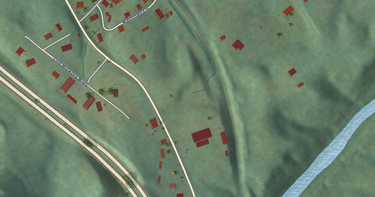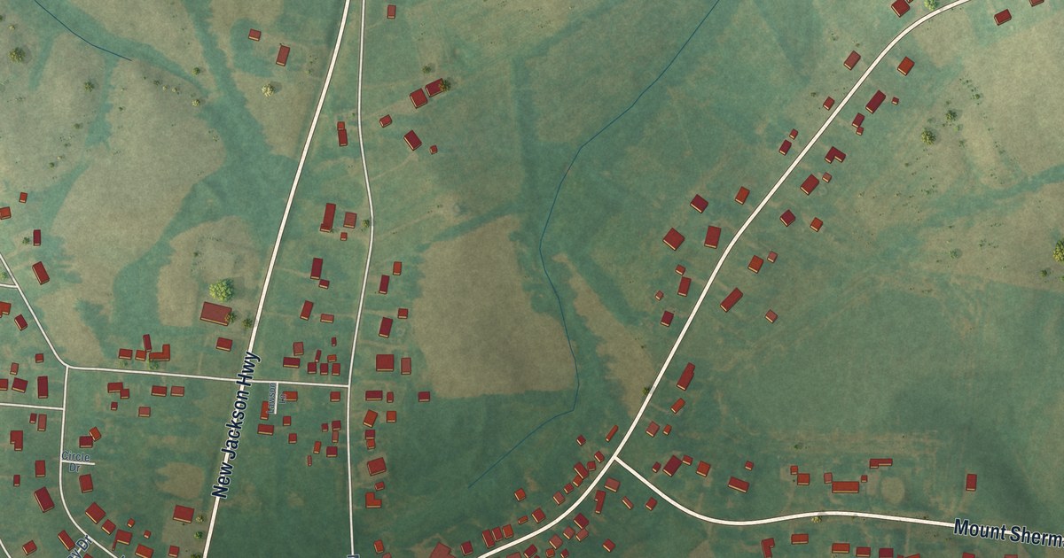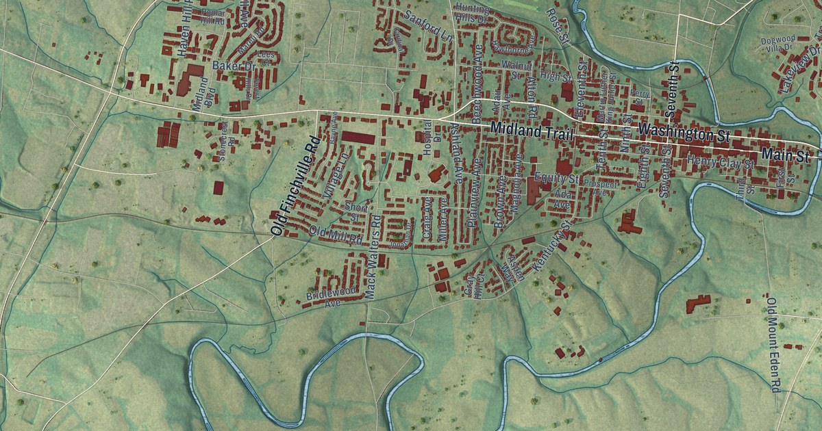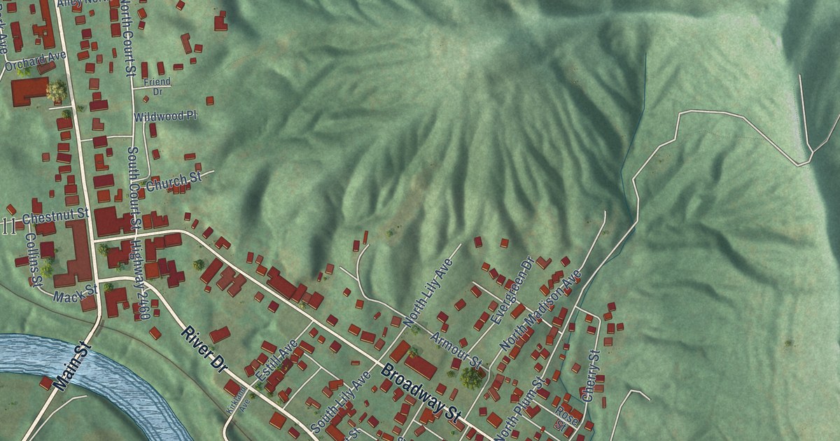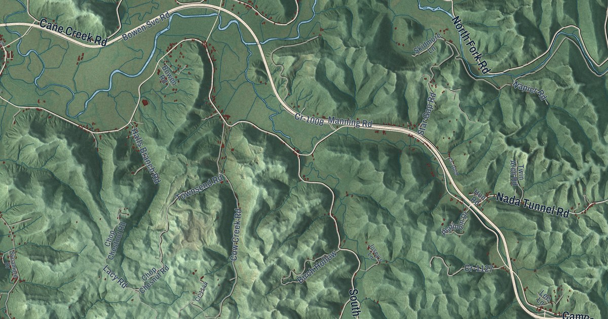
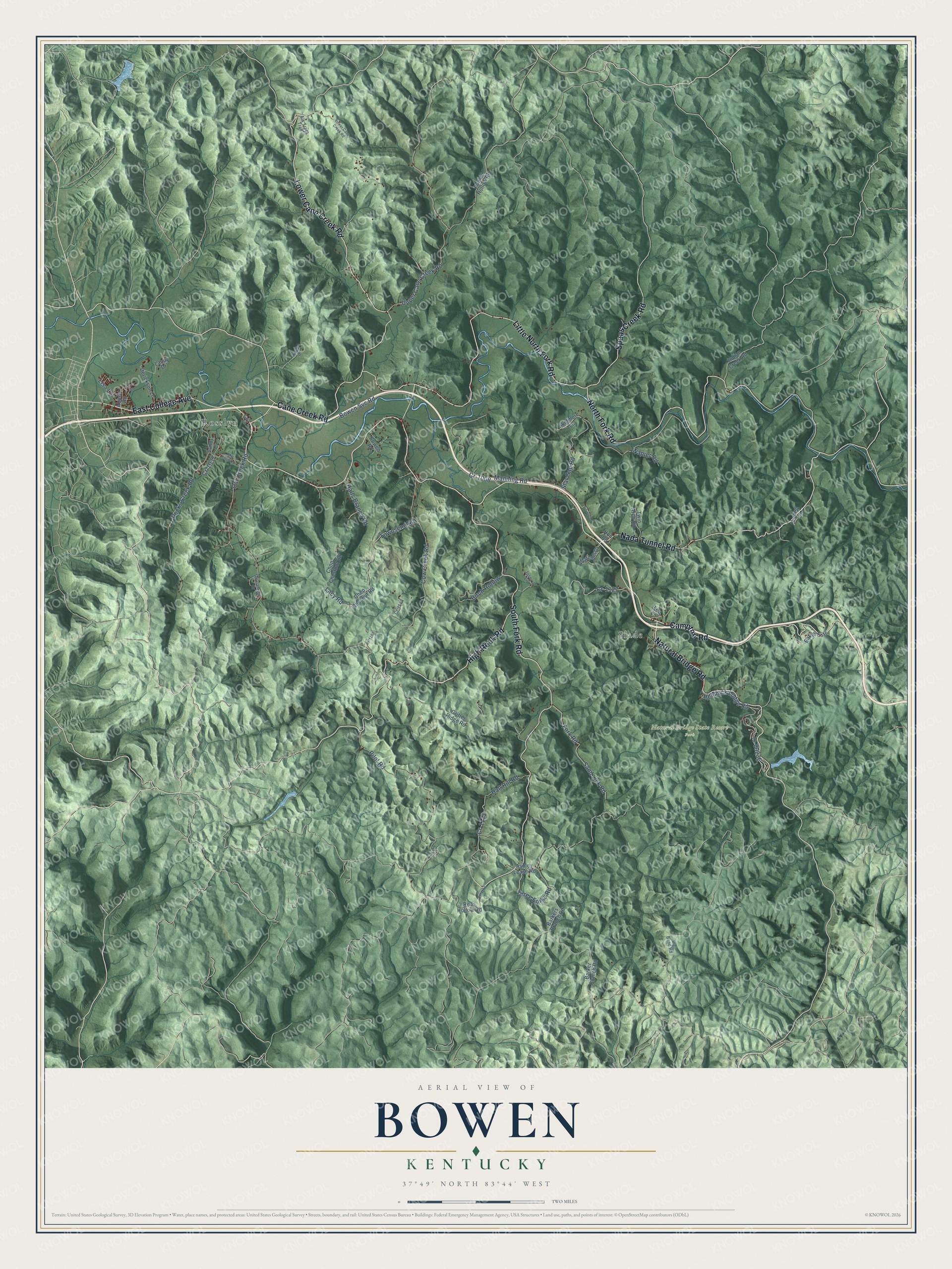
This beautifully detailed map of Bowen, Kentucky was created in 2026 using aerial imagery combined with modern topographical, census, street and landmark data. It’s a one-of-a-kind view of Bowen that combines accurate data with a vintage aesthetic. The map shows every building in its true location, many of the roads carry their names, and the shaded topographic relief shows the shape of the land.
Explore an aerial view of Bowen, Kentucky
On the map you’ll find Natural Bridge State Resort Park, Rosslyn, and Slade, along with Lower Cane Creek Road, East College Avenue, Nada Tunnel Road, Cane Creek Road, Campton Road, North Fork Road, Little North Fork Road, South Fork Road, High Rock Road, and more. If you look closely you can even find your house accurately drawn in its correct location. Zoom in on the preview to look for yours.
Did You Know?
From Internet Archive: "In 1900, in company with George Hon, he founded the Reliance Manufacturing Company, for the manufacture of lumber mill work and special articles, with a mill at Bowen, Kentucky."
Bowen is a community in Powell County.
Take a closer look at the Bowen map
Names on this map
These names are printed on this map.
Places: Natural Bridge State Resort Park, Rosslyn and Slade.
Streets and roads: Lower Cane Creek Road, East College Avenue, Nada Tunnel Road, Cane Creek Road, Campton Road, North Fork Road, Little North Fork Road, South Fork Road, High Rock Road, Natural Bridge Road, Spaas Creek Road, Upper Cane Creek Road.
More street names, A to Z
Airport Road, Apple Drive, Ashley Lease Road, Baker Ests, Barker Branch Road, Barkers Branch Road, Big Bend Road, Birch Hollow, Bowen Road, Bowen Svc Road, Brandy Lane, Cat Creek Road, Chop Chesnut Road, Chop Chestnut Road, Cow Creek Road, Cr-1008, Cr-1009, Cr-1037, Cr-1102, Cr-1113, Cr-1114, Cr-1127, Cr-1144, Derickson Lane, Elk Track Trail, Fork Road, Gritter Ridge Road, Hall Hill Road, Halls Branch Road, Hemlock Lodge Road, Hon Road, Indian Creek Road, Josey's Lane, Lacy Road, Landy Drive, Laurel Lane, Lee Lane, Lisa Lane, Manning Road, Mill Knob Road, Napier Road, Pecks Creek Road, Pilot Road, Platinum Drive, Plum Street, Punkin Hollow Road, Reds Hollow Road, Sand Lick Road, Skidmore Lane, Star Gap Road, Sycamore Drive, Three Forks Road, Townsend Road, Trent Circle, Twin Arch Road.
See it on a wall
The Bowen map as a framed print. Swipe for more.


This beautifully detailed map of Bowen makes an attractive addition to your office, library, or den, and it can even be used to teach children the geography and history of the area. It also makes a great gift for anyone who grew up in Bowen or moved away. When you’re done exploring, click here to get your copy of the Bowen map.