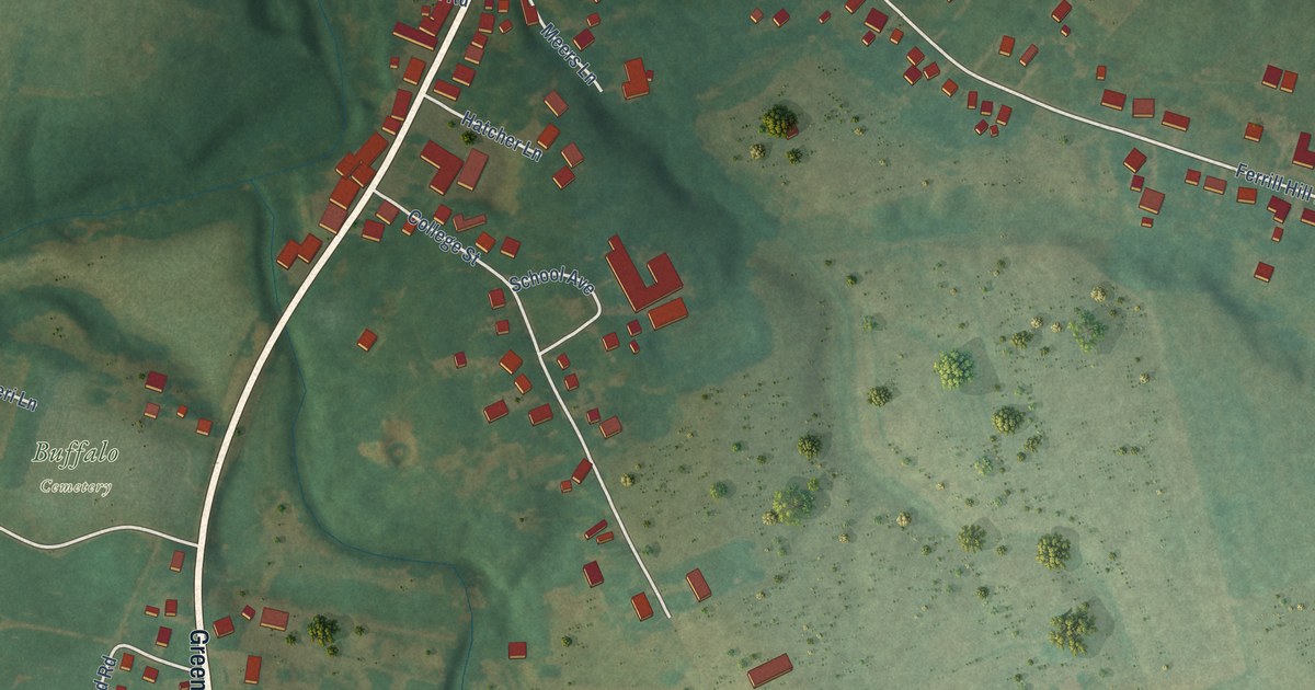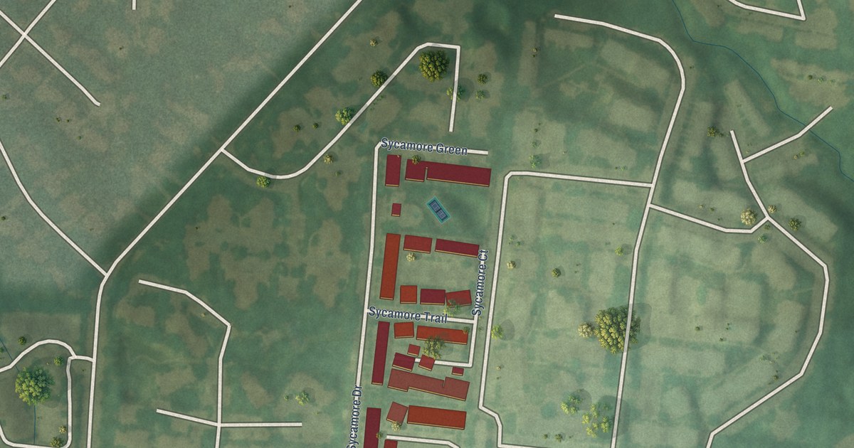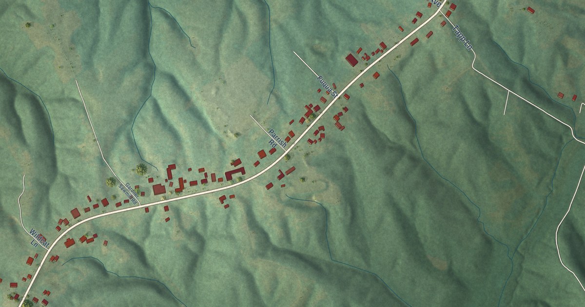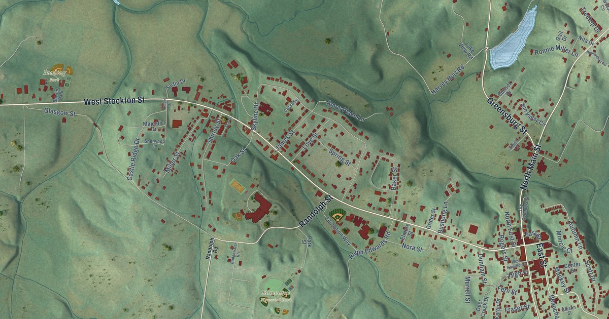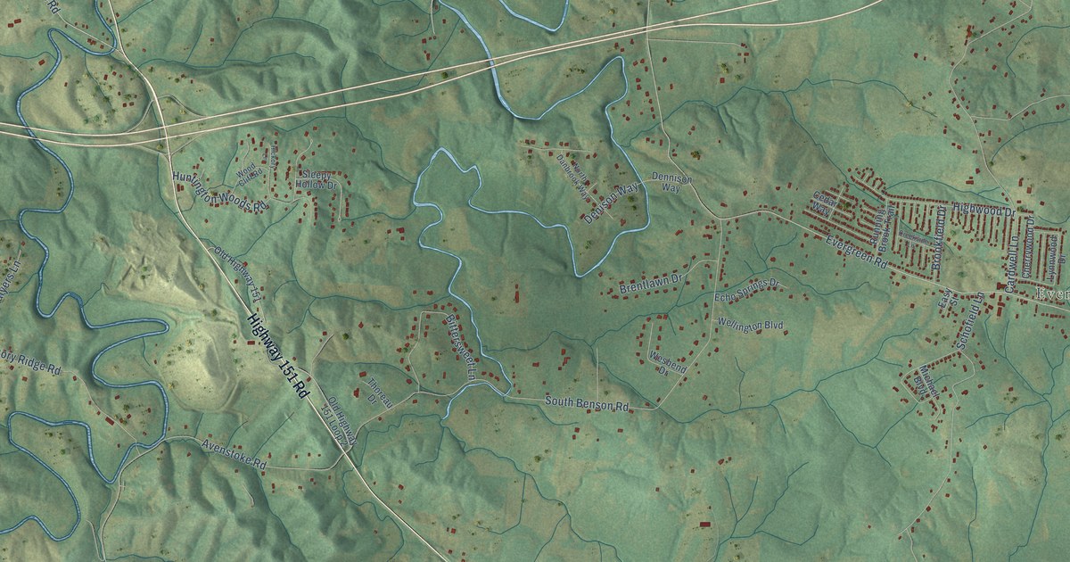
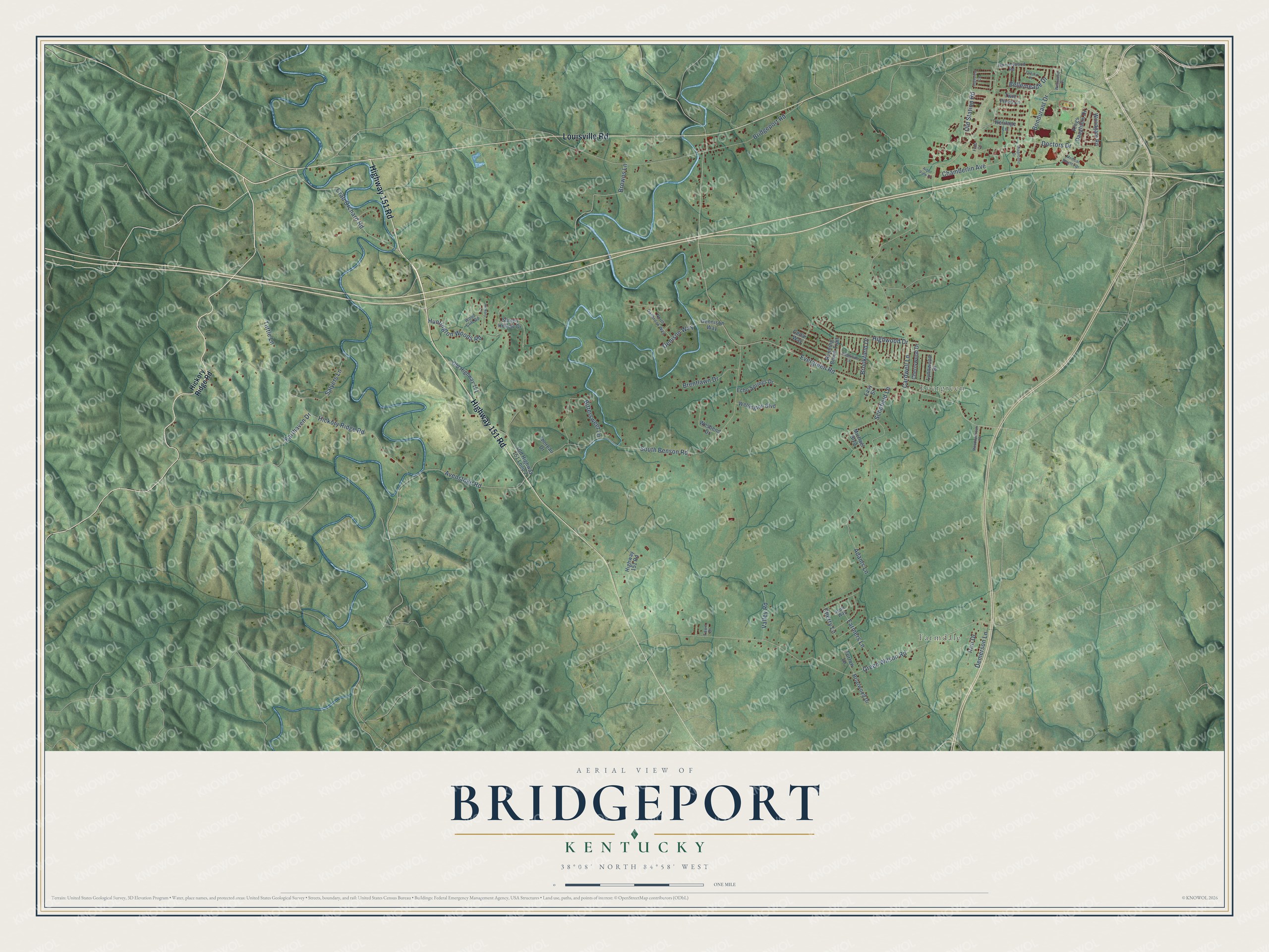
This beautifully detailed map of Bridgeport, Kentucky was created in 2026 using aerial imagery combined with modern topographical, census, street and landmark data. It’s a one-of-a-kind view of Bridgeport that combines accurate data with a vintage aesthetic. The map shows every building in its true location, many of the roads carry their names, and the shaded topographic relief shows the shape of the land.
Explore an aerial view of Bridgeport, Kentucky
On the map you’ll find Farmdale and Evergreen, along with Highway 151 Road, Louisville Road, Crab Orchard Road, Doctors Drive, Avenstoke Road, Green Wilson Road, Evergreen Road, Cardwell Lane, South Benson Road, Bridgeport Road, and more. If you look closely you can even find your house accurately drawn in its correct location. Zoom in on the preview to look for yours.
Did You Know?
From Internet Archive: "JAMES WRIGHT, Bridgeport, Ky., was disabled by railroad aooident, June, 1863, and afterward placed on list of retired soldiers. 60 Digitized by LjOOQ IC SIXTH REGIMENT, FIELD AND STAFF."
Bridgeport is a community in Franklin County.
Take a closer look at the Bridgeport map
Names on this map
These names are printed on this map.
Places: Farmdale and Evergreen.
Streets and roads: Highway 151 Road, Louisville Road, Crab Orchard Road, Doctors Drive, Avenstoke Road, Green Wilson Road, Evergreen Road, Cardwell Lane, South Benson Road, Bridgeport Road, Hickory Ridge Road, Schofield Lane.
More street names, A to Z
Adams Lane, Apple Way, Arbor View Drive, Bellemeade Drive, Bittersweet Lane, Bondurant Drive, Brentlawn Drive, Briarwood Drive, Brookfield Drive, Browns Lane, Cedar Way, Chamberlin Avenue, Cherry Lane, Cherrywood Drive, Creekside Lane, Demerson Lane, Denison Way, Dennison Way, Diagnostic Drive, Earthaven Drive, Easy Street, Echo Springs Drive, Farmers Lane, Fawn Drive, Fido Court, Furrow Lane, Harrodswood Road, Heritage Lane, Hickory Lane, Highview Circle, Highwood Drive, Huntington Woods Road, Iron Drive, Kings Daughters Drive, Lynnwood Drive, Meadowbrook Drive, Medical Heights Drive, Michael Boulevard, North Danbrook Way, Old Highway 151, Old Highway 151 Loop 2, Old Station Road, Oxford Place, Running Brook Trail, Salyers Lane, Sleepy Hollow Drive, Thoreau Drive, Tuttle Lane, Twin Pines Lane, Valley Road, Wellington Boulevard, Wesbend Drive, Westwood Drive, Wood Cliff Road, Woodgate Road.
See it on a wall
The Bridgeport map as a framed print. Swipe for more.


This beautifully detailed map of Bridgeport makes an attractive addition to your office, library, or den, and it can even be used to teach children the geography and history of the area. It also makes a great gift for someone who left Bridgeport and still calls it home. When you’re done exploring, click here to get your copy of the Bridgeport map.