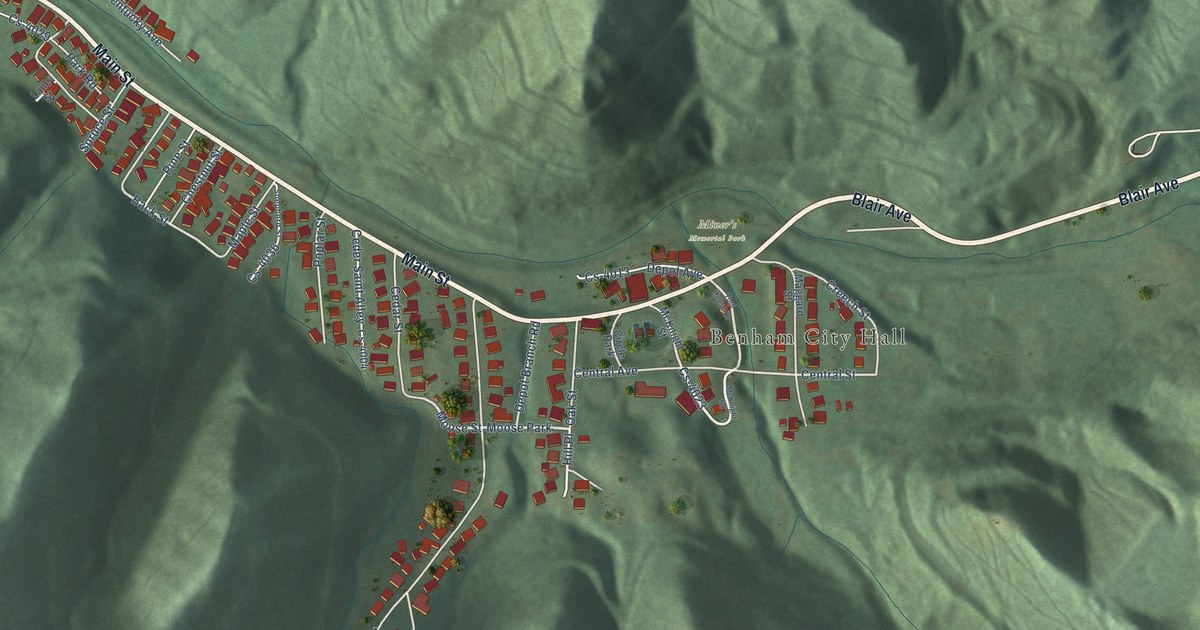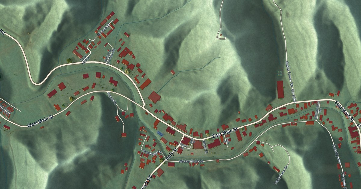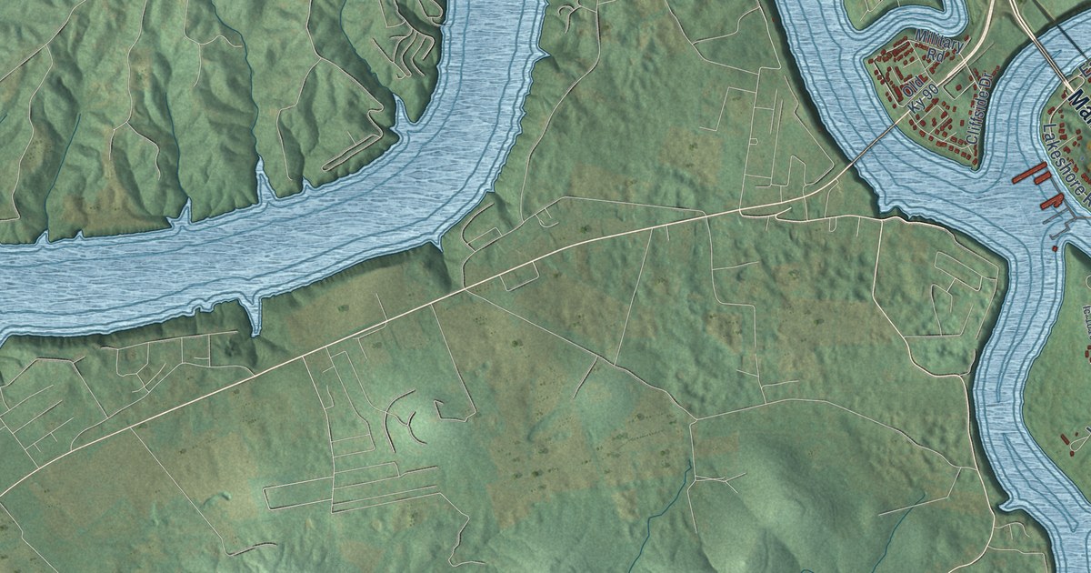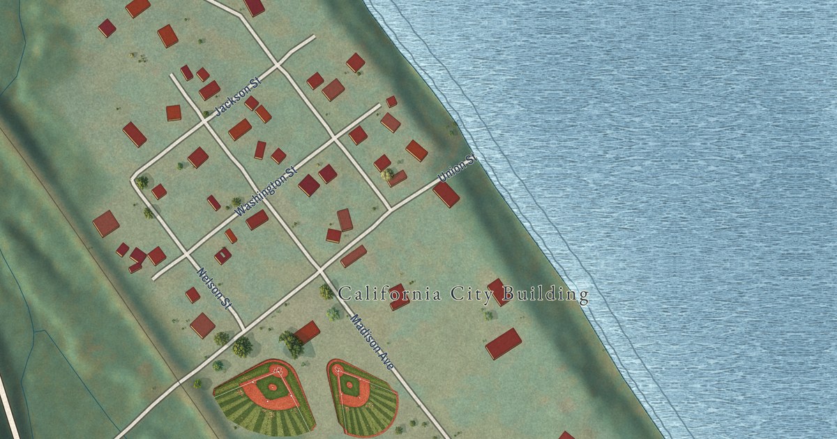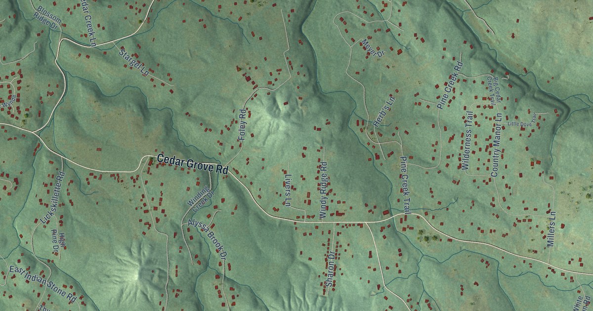
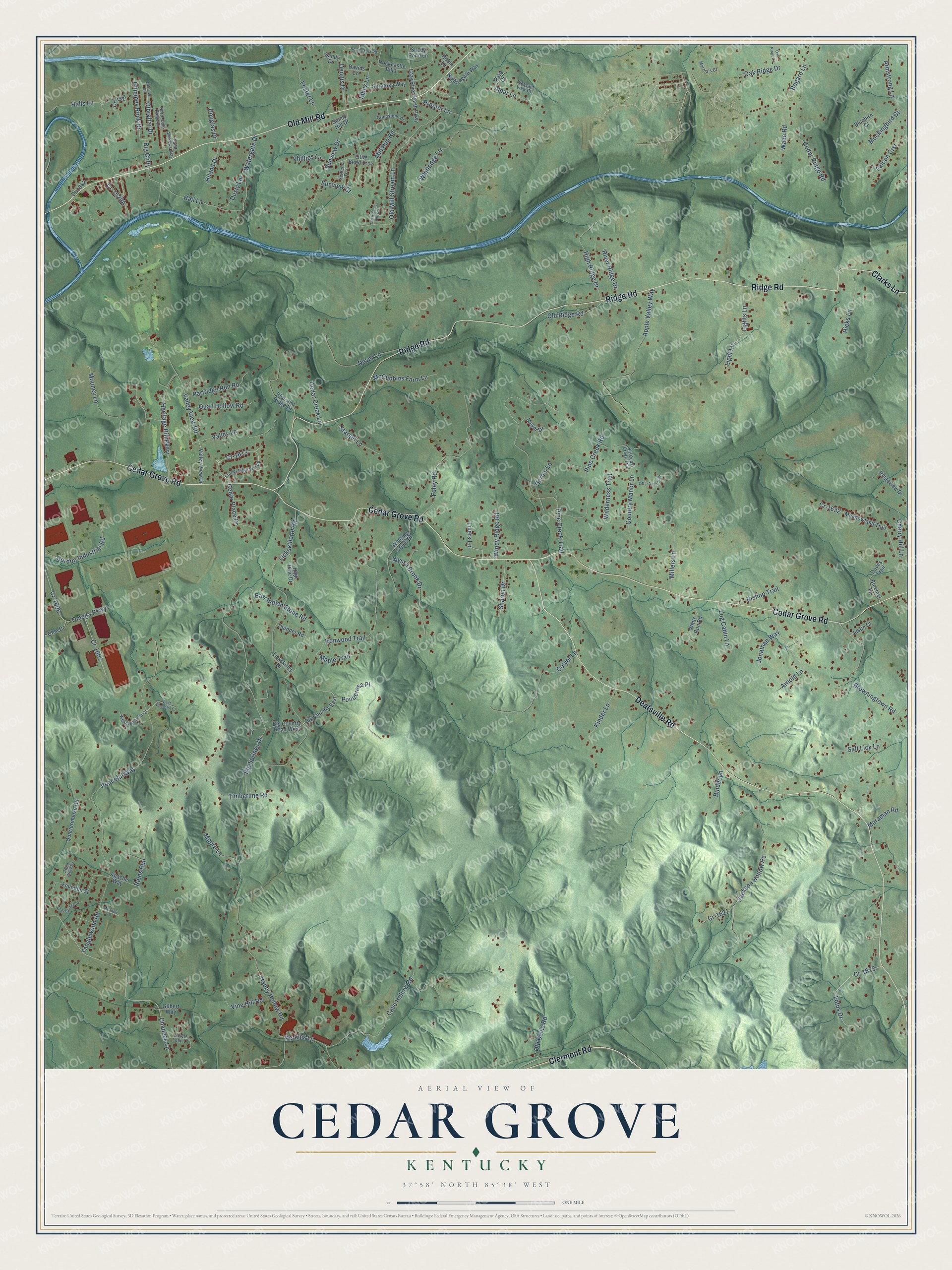
This beautifully detailed map of Cedar Grove, Kentucky was created in 2026 using aerial imagery combined with modern topographical, census, street and landmark data. It’s a one-of-a-kind view of Cedar Grove that combines accurate data with a vintage aesthetic. The map shows every building in its true location, many of the roads carry their names, and the shaded topographic relief shows the shape of the land.
Explore an aerial view of Cedar Grove, Kentucky
On the map you’ll find Big Clifty and Cr-1613, along with Clarks Lane, Cedar Grove Road, Ridge Road, Deatsville Road, Old Mill Road, Clermont Road, Hail Lane, Gibraltar Drive, Log Cabin Lane, Peaceful Way, and more. If you look closely you can even find your house accurately drawn in its correct location. Zoom in on the preview to look for yours.
Did You Know?
From Internet Archive: "Benedict Academy, locally known as Cedar Grove, in Louisville, Kentucky, was founded in 1842."
Cedar Grove is a community in Bullitt County.
Take a closer look at the Cedar Grove map
Names on this map
These names are printed on this map.
Streets and roads: Clarks Lane, Cedar Grove Road, Ridge Road, Deatsville Road, Old Mill Road, Clermont Road, Hail Lane, Big Clifty, Gibraltar Drive, Cr-1613, Log Cabin Lane, Peaceful Way.
More street names, A to Z
Alpar Lane, Alyssa Brook Drive, Apache Way, Apple Valley Way, Aqua View Drive, Armstrong Lane, Arnold Lane, Big Cedar Creek Trail, Big Country East, Big Country Road West, Big Springs Drive, Binder Lane, Bishop Trail, Bleemel Lane, Blossom Ridge Drive, Bluebird Court, Bogard Lane, Browningtown Road, Cave Hollow Road, Cedar Creek Lane, Cedar Place Drive, Cedar Ridge Road, Chapeze Lane, Cherry Hill Lane, Chimney Rock Drive, Colyer Lane, Country Manor Lane, Cr-1527, Cr-1606, Cr-1607, Cr-1621, Cr-1623, Cr-1632, Cr-1842, Davids Lane, Dennis Drive, Dever Lane, Douglas Drive, Doves Trail, Dusty Lane, East Indian Stone Road, East Peaceful Court, Falcon Crst, Foley Road, Foster Lane, Fountain Street, Gibralter Road, Gilbert Way, Gordon Industrial Road, Grindstone Drive, Halls Lane, Happy Hollow Road, Herb's Lane, Heritage Hill Parkway, Hicks Lane, High Pine Drive, High Ridge Drive, Hiland Drive, Ironwood Trail, Jackson Hollow Road, Johns Lane, Jonathan Way, Justin Court, Kinder Lane, Kool Springs Drive, Lazy River North Parkway, Lickskillet Drive, Lickskillette Road, Light Lane, Lights Lane, Little Bend Trce, Little Dove Trail, Livers Lane, Lotus Drive, Lovers Leap Lane, Maple Trail, Maraman Road, Martha's Court, McCubbins Farm Lane, Meadowland Trail, Meadow Lane, Meyer Drive, Millers Lane, Mill Run Road, Mockingbird Court, Mooney Lane, Moore Lane, Nightingale Way, North Cole Ridge Drive, Oak Ridge Court, Oak Ridge Drive, Ohm Drive, Old Davis Road, Old Hickory Hill Road, Old Mill Stream Lane, Old Ridge Road, Omega Parkway, Pare Court, Partridge Run Road, Perkins Lane, Phillips Lane, Pine Creek Road, Pine Creek Trail, Pleasant View Court, Ponderosa Place, Proctor Lane, Quail Hollow Road, Quartermouse Road, Rams Run, Ridgeview Drive, River Ridge Drive, Robin Lane, Rockcastle Villa, Rolling Fork Road, Saint Andrews Way, Salt Lick Lane, Sandy Drive, Saratoga Way, Settler's Trce, Shady Pond Lane, Sharon Drive, Stargel Lane, Stoneyridge Wynde, Sunny Hill Drive, Sunview Court, Sunview Drive, Tanglewood Road, Thunder Road, Timberline Road, Valley Lane, Valley View Drive, Valley View Road, Vine Hill Road, Wade Road, Watergate Drive, West Peaceful Court, White Run Road, Whitledge Lane, Wilderness Trail, Winding Creek Drive, Windy Ridge Road.
See it on a wall
The Cedar Grove map as a framed print. Swipe for more.


This beautifully detailed map of Cedar Grove makes an attractive addition to your office, library, or den, and it can even be used to teach children the geography and history of the area. It also makes a great gift for anyone with Cedar Grove roots. When you’re done exploring, click here to get your copy of the Cedar Grove map.